- National Register of Historic Places listings in Ford County, Kansas
-
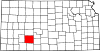
 Location of Ford County in Kansas
This is a list of the National Register of Historic Places listings in Ford County, Kansas.
This is intended to be a complete list of the properties on the National Register of Historic Places in Ford County, Kansas, United States. The locations of National Register properties for which the latitude and longitude coordinates are included below, may be seen in a Google map.[1]
There are 10 properties listed on the National Register in the county.
-
- This National Park Service list is complete through NPS recent listings posted November 10, 2011.[2]
Current listings
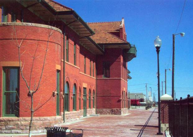
[3] Landmark name [4] Image Date listed Location City or town Summary 1 Atchison, Topeka and Santa Fe Railway Depot 
July 14, 2000 E. Wyatt Earp Boulevard
37°45′20″N 100°00′46″W / 37.755556°N 100.012778°WDodge City 2 Burr House January 31, 2008 603 W. Spruce
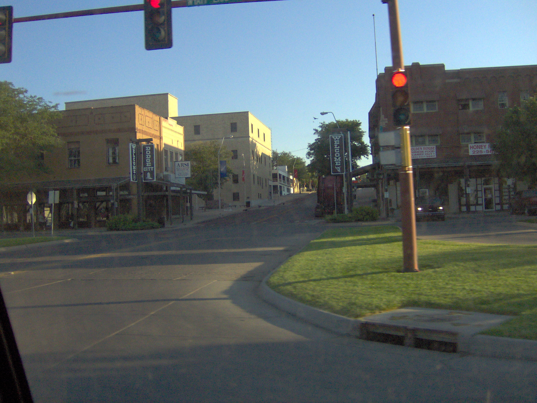
37°45′22″N 100°01′22″W / 37.756111°N 100.022778°WDodge City 3 Dodge City Downtown Historic District 
November 4, 2009 Roughly bounded by Front St. on the south, 3rd Ave. on the west, Vine St. on the north, and Central Ave. on the east
37°45′14″N 100°01′07″W / 37.753933°N 100.018544°WDodge City 4 Dodge City Public Library March 26, 1979 2nd and Spruce Aves.
37°45′17″N 100°01′08″W / 37.754722°N 100.018889°WDodge City 5 Hennessy Hall, Saint Mary of the Plains Campus January 14, 2004 240 San Jose Dr.
37°46′36″N 100°00′36″W / 37.776667°N 100.01°WDodge City 6 Immaculate Heart of Mary Catholic Church January 5, 1989 Southeast of Spearville
37°47′06″N 99°38′28″W / 37.785°N 99.641111°WWindthorst 7 Lora Locke Hotel January 3, 1985 Central and Gunsmoke Sts.
37°45′12″N 100°01′00″W / 37.753333°N 100.016667°WDodge City 8 Mueller-Schmidt House February 23, 1972 112 E. Vine St.
37°45′20″N 100°00′53″W / 37.755556°N 100.014722°WDodge City 9 Sacred Heart Cathedral February 10, 1983 903 Central Ave.
37°45′23″N 100°01′00″W / 37.756389°N 100.016667°WDodge City 10 Sante Fe Trail Ruts October 15, 1966 9 miles west of Dodge City on U.S. Route 50
37°47′31″N 100°11′49″W / 37.791944°N 100.196944°WDodge City See also
- List of National Historic Landmarks in Kansas
- National Register of Historic Places listings in Kansas
References
- ^ The latitude and longitude information provided in this table was derived originally from the National Register Information System, which has been found to be fairly accurate for about 99% of listings. For about 1% of NRIS original coordinates, experience has shown that one or both coordinates are typos or otherwise extremely far off; some corrections may have been made. A more subtle problem causes many locations to be off by up to 150 yards, depending on location in the country: most NRIS coordinates were derived from tracing out latitude and longitudes off of USGS topographical quadrant maps created under the North American Datum of 1927, which differs from the current, highly accurate WGS84 GPS system used by Google maps. Chicago is about right, but NRIS longitudes in Washington are higher by about 4.5 seconds, and are lower by about 2.0 seconds in Maine. Latitudes differ by about 1.0 second in Florida. Some locations in this table may have been corrected to current GPS standards.
- ^ "National Register of Historic Places: Weekly List Actions". National Park Service, United States Department of the Interior. Retrieved on November 10, 2011.
- ^ Numbers represent an ordering by significant words. Various colorings, defined here, differentiate National Historic Landmark sites and National Register of Historic Places Districts from other NRHP buildings, structures, sites or objects.
- ^ "National Register Information System". National Register of Historic Places. National Park Service. . http://nrhp.focus.nps.gov/natreg/docs/All_Data.html.
Municipalities and communities of Ford County, Kansas Cities Bucklin | Dodge City | Ford | Spearville
Townships Unincorporated
communitiesBellefont | Bloom | Fort Dodge | Howell | Kingsdown | South Dodge | Windthorst | Wright
Categories:- National Register of Historic Places in Kansas by county
- Ford County, Kansas
- Buildings and structures in Ford County, Kansas
-


Wikimedia Foundation. 2010.