- National Register of Historic Places listings in Johnson County, Kansas
-
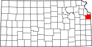
 Location of Johnson County in Kansas
This is a list of the National Register of Historic Places listings in Johnson County, Kansas.
This is intended to be a complete list of the properties and districts on the National Register of Historic Places in Johnson County, Kansas, United States. The locations of National Register properties and districts for which the latitude and longitude coordinates are included below, may be seen in a Google map.[1]
There are 21 properties and districts listed on the National Register in the county, including 1 National Historic Landmark.
-
- This National Park Service list is complete through NPS recent listings posted November 10, 2011.[2]
Current listings
[3] Landmark name [4] Image Date listed Location City or town Summary 1 Blackfeather Farm August 22, 1996 8140 W. 183rd St.
38°47′54″N 94°40′53″W / 38.798333°N 94.681389°WStilwell 2 Broadmoor Ranch House Historic District February 7, 2011 6900-7017 W. 68th St., 6900-7001 W. 69th St., 6900-7019 W. 69th Terr.
39°00′15″N 94°39′59″W / 39.004167°N 94.666389°WOverland Park 3 Ensor Farm February 27, 2004 18995 W. 183rd St.
38°47′51″N 94°48′36″W / 38.7975°N 94.81°WOlathe 4 Herman B. Foster House November 28, 2007 204 W. Main St.
38°48′48″N 94°55′51″W / 38.813333°N 94.930833°WGardner 5 Horn-Vincent-Russell Estate July 25, 1997 6624 Wenonga Rd.
39°00′36″N 94°37′40″W / 39.01°N 94.627778°WMission Hills 6 Lanesfield School October 13, 1988 18745 S. Dillie Rd.
38°47′22″N 94°59′33″W / 38.789444°N 94.9925°WEdgerton 7 Franklin R. Lanter House October 10, 2007 562 W. Park St.
38°52′56″N 94°49′38″W / 38.882222°N 94.827222°WOlathe 8 Loomis Historic District May 17, 2006 8325 Johnson Dr., 5900 Hadley, 5923 Hadley
39°01′25″N 94°40′53″W / 39.023611°N 94.681389°WMerriam 9 J. B. Mahaffie House August 29, 1977 1100 Kansas City Rd.
38°53′31″N 94°48′04″W / 38.891944°N 94.801111°WOlathe 10 John McCarthy House July 10, 2000 19700 Sunflower Rd.
38°46′14″N 95°00′07″W / 38.770556°N 95.001944°WEdgerton 11 Albert Ott House April 1, 1998 401 S. Harrison St.
38°52′41″N 94°48′56″W / 38.878056°N 94.815556°WOlathe 12 Overland Theater February 9, 2005 7204 W. 80th St.
38°59′10″N 94°40′09″W / 38.986111°N 94.669167°WOverland Park 13 Martin Van Buren Parker House December 20, 1988 631 W. Park St.
38°52′58″N 94°49′48″W / 38.882778°N 94.83°WOlathe 14 I. O. Pickering House December 1, 1980 507 W. Park St.
38°53′01″N 94°49′28″W / 38.883611°N 94.824444°WOlathe 15 Redel Historic District August 16, 1996 16310 Mission Rd., 3950, 3970, 3990, and 4010 W. 163rd St.
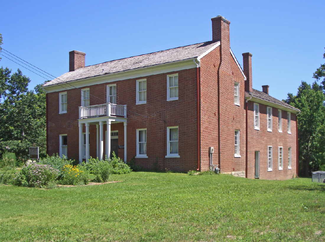
38°49′57″N 94°37′51″W / 38.8325°N 94.630833°WStilwell 16 Shawnee Methodist Mission 
October 15, 1966 53rd St. at Mission Rd.
39°02′00″N 94°37′29″W / 39.033333°N 94.624722°WFairway 17 William Thomas Turner Barn April 1, 1999 19805 S. Moonlight Rd.
38°46′11″N 94°54′28″W / 38.769722°N 94.907778°WGardner 18 Virginia School District No. 33 May 19, 2004 71st St. and Clare Rd.
39°00′01″N 94°52′20″W / 39.000278°N 94.872222°WShawnee 19 Herman J. and Ella B. Voigts House May 18, 1995 2405 W. 103rd St.
38°56′31″N 94°37′09″W / 38.941944°N 94.619167°WLeawood 20 Wolcott House May 2, 2001 5701 Oakwood Rd.
39°01′30″N 94°36′43″W / 39.025°N 94.611944°WMission Hills 21 WPA Beach House at Gardner Lake June 25, 1992 Western shore of Gardner Lake, north of Gardner
38°50′55″N 94°55′43″W / 38.848611°N 94.928611°WGardner See also
- List of National Historic Landmarks in Kansas
- National Register of Historic Places listings in Kansas
References
- ^ The latitude and longitude information provided in this table was derived originally from the National Register Information System, which has been found to be fairly accurate for about 99% of listings. For about 1% of NRIS original coordinates, experience has shown that one or both coordinates are typos or otherwise extremely far off; some corrections may have been made. A more subtle problem causes many locations to be off by up to 150 yards, depending on location in the country: most NRIS coordinates were derived from tracing out latitude and longitudes off of USGS topographical quadrant maps created under the North American Datum of 1927, which differs from the current, highly accurate WGS84 GPS system used by Google maps. Chicago is about right, but NRIS longitudes in Washington are higher by about 4.5 seconds, and are lower by about 2.0 seconds in Maine. Latitudes differ by about 1.0 second in Florida. Some locations in this table may have been corrected to current GPS standards.
- ^ "National Register of Historic Places: Weekly List Actions". National Park Service, United States Department of the Interior. Retrieved on November 10, 2011.
- ^ Numbers represent an ordering by significant words. Various colorings, defined here, differentiate National Historic Landmark sites and National Register of Historic Places Districts from other NRHP buildings, structures, sites or objects.
- ^ "National Register Information System". National Register of Historic Places. National Park Service. . http://nrhp.focus.nps.gov/natreg/docs/All_Data.html.
Municipalities and communities of Johnson County, Kansas Cities Bonner Springs‡ | De Soto‡ | Edgerton | Fairway | Gardner | Lake Quivira‡ | Leawood | Lenexa | Merriam | Mission | Mission Hills | Mission Woods | Olathe | Overland Park | Prairie Village | Roeland Park | Shawnee | Spring Hill‡ | Westwood | Westwood Hills
Townships Aubry | Gardner | Lexington | McCamish | Olathe | Oxford | Shawnee | Spring Hill
Unincorporated
communityFootnotes ‡This populated place also has portions in an adjacent county or counties
Categories:- Johnson County, Kansas
- National Register of Historic Places in Kansas by county
- Buildings and structures in Johnson County, Kansas
-


Wikimedia Foundation. 2010.