- National Register of Historic Places listings in Miami County, Kansas
-
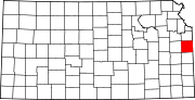
 Location of Miami County in Kansas
This is a list of the National Register of Historic Places listings in Miami County, Kansas.
This is intended to be a complete list of the properties and districts on the National Register of Historic Places in Miami County, Kansas, United States. The locations of National Register properties and districts for which the latitude and longitude coordinates are included below, may be seen in a Google map.[1]
There are 10 properties and districts listed on the National Register in the county.
-
- This National Park Service list is complete through NPS recent listings posted November 10, 2011.[2]
Current listings
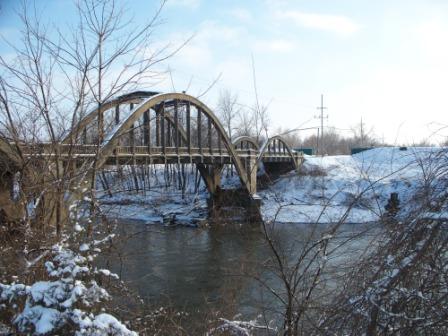
[3] Landmark name [4] Image Date listed Location City or town Summary 1 Asylum Bridge January 4, 1990 1st St. over the Marais des Cygnes River
38°30′18″N 94°57′13″W / 38.505°N 94.953611°WOsawatomie 2 John Brown Cabin March 24, 1971 John Brown Memorial Park
38°29′56″N 94°57′34″W / 38.498889°N 94.959444°WOsawatomie 3 Carey's Ford Bridge January 4, 1990 Over the Marais des Cygnes River east of Osawatomie
38°31′14″N 95°02′01″W / 38.520556°N 95.033611°WOsawatomie 4 Creamery Bridge 
March 10, 1983 FAS 456
38°30′11″N 94°57′18″W / 38.503056°N 94.955°WOsawatomie 5 Hillsdale Archeological District May 12, 1977 Address restricted Paola 6 Jackson Hotel July 9, 2008 139 W. Peoria St.
38°34′22″N 94°52′46″W / 38.572778°N 94.879444°WPaola 7 Jake's Branch of Middle Creek Bridge July 2, 1985 Off U.S. Route 69
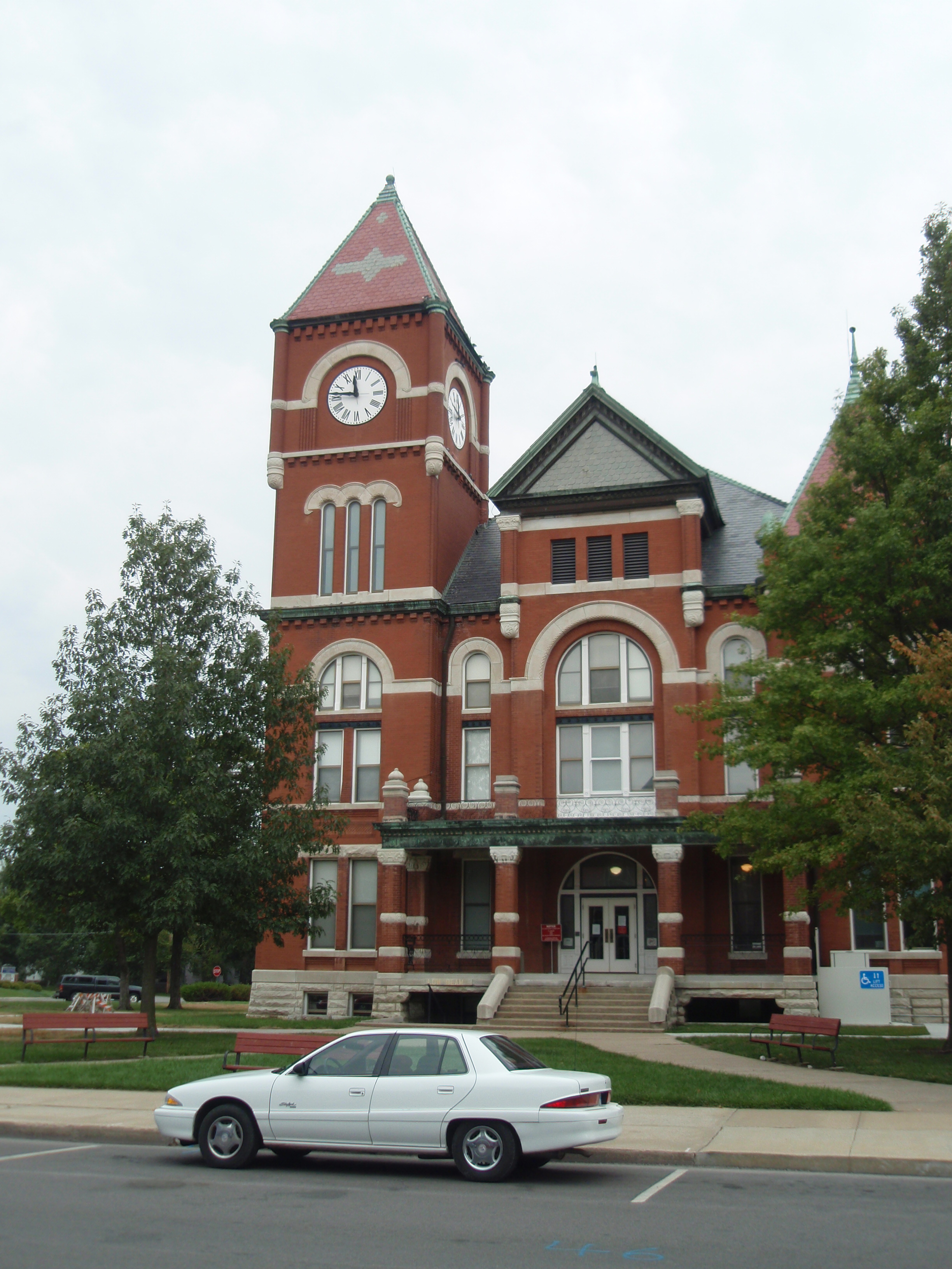
38°31′11″N 94°42′57″W / 38.519722°N 94.715833°WLouisburg 8 Miami County Courthouse 
March 1, 1973 East of the junction of Miami and Silver Sts.
38°34′16″N 94°52′42″W / 38.571111°N 94.878333°WPaola 9 William Mills House November 20, 1986 212 1st St.
38°30′59″N 94°56′33″W / 38.516389°N 94.9425°WOsawatomie 10 Pottawatomie Creek Bridge March 10, 1983 FAS 1604
38°29′07″N 94°57′02″W / 38.485278°N 94.950556°WOsawatomie See also
- List of National Historic Landmarks in Kansas
- National Register of Historic Places listings in Kansas
References
- ^ The latitude and longitude information provided in this table was derived originally from the National Register Information System, which has been found to be fairly accurate for about 99% of listings. For about 1% of NRIS original coordinates, experience has shown that one or both coordinates are typos or otherwise extremely far off; some corrections may have been made. A more subtle problem causes many locations to be off by up to 150 yards, depending on location in the country: most NRIS coordinates were derived from tracing out latitude and longitudes off of USGS topographical quadrant maps created under the North American Datum of 1927, which differs from the current, highly accurate WGS84 GPS system used by Google maps. Chicago is about right, but NRIS longitudes in Washington are higher by about 4.5 seconds, and are lower by about 2.0 seconds in Maine. Latitudes differ by about 1.0 second in Florida. Some locations in this table may have been corrected to current GPS standards.
- ^ "National Register of Historic Places: Weekly List Actions". National Park Service, United States Department of the Interior. Retrieved on November 10, 2011.
- ^ Numbers represent an ordering by significant words. Various colorings, defined here, differentiate National Historic Landmark sites and National Register of Historic Places Districts from other NRHP buildings, structures, sites or objects.
- ^ "National Register Information System". National Register of Historic Places. National Park Service. . http://nrhp.focus.nps.gov/natreg/docs/All_Data.html.
Municipalities and communities of Miami County, Kansas Cities Fontana | Louisburg | Osawatomie | Paola | Spring Hill‡
Unincorporated
communitiesBucyrus | Hillsdale
Footnotes ‡This populated place also has portions in an adjacent county or counties
Categories:- Miami County, Kansas
- National Register of Historic Places in Kansas by county
- Buildings and structures in Miami County, Kansas
-


Wikimedia Foundation. 2010.