- National Register of Historic Places listings in Miami County, Indiana
-
 Location of Miami County in Indiana
This is a list of the National Register of Historic Places listings in Miami County, Indiana.
This is intended to be a complete list of the properties on the National Register of Historic Places in Miami County, Indiana, United States. Latitude and longitude coordinates are provided for many National Register properties; these locations may be seen together in a Google map.[1]
There are 12 properties listed on the National Register in the county, including 1 National Historic Landmark.
-
- This National Park Service list is complete through NPS recent listings posted November 10, 2011.[2]
Current listings
[3] Landmark name [4] Image Date listed Location City or town Summary 1 B-17G "Flying Fortress" No. 44-83690 
June 29, 1993 Heritage Museum Foundation, off U.S. Route 31
40°40′06″N 86°07′46″W / 40.668333°N 86.129444°WGrissom Air Force Base 2 Brownell Block/Senger Dry Goods Company Building 
September 1, 1983 Broadway and 5th Sts.
40°45′18″N 86°04′10″W / 40.755°N 86.069444°WPeru 3 James Omar Cole House 
March 1, 1984 27 E. 3rd St.
40°45′12″N 86°04′00″W / 40.753333°N 86.066667°WPeru 4 Converse Depot 
March 3, 1995 203 E. Railroad St.
40°34′49″N 85°52′14″W / 40.580278°N 85.870556°WConverse 5 Converse-Jackson Township Public Library 
March 12, 1999 100 S. Jefferson St.
40°34′39″N 85°52′26″W / 40.5775°N 85.873889°WConverse 6 Elkenberry Bridge September 20, 2006 State Road 100 E. over the Eel River
40°51′19″N 86°03′21″W / 40.855278°N 86.055833°WRichland Township 7 Francis Godfroy Cemetery 
March 1, 1984 State Road 124
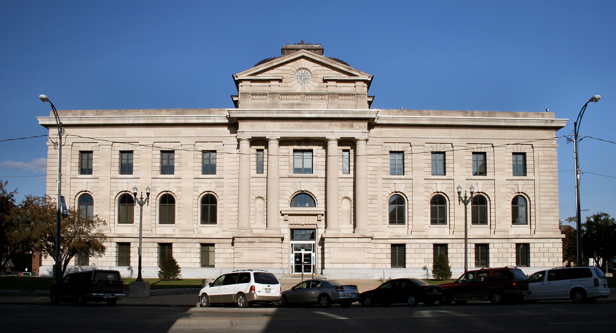
40°45′03″N 85°59′35″W / 40.750833°N 85.993056°WPeru 8 Miami County Courthouse 
March 19, 2008 Public Square
40°45′16″N 86°04′08″W / 40.754444°N 86.068889°WPeru 9 Paw Paw Creek Bridge No. 52 September 30, 1983 Paw Paw Pike
40°52′42″N 85°57′59″W / 40.878333°N 85.966389°WChili 10 Shirk-Edwards House 
September 14, 1995 50 N. Hood St.
40°45′08″N 86°04′29″W / 40.752222°N 86.074722°WPeru 11 Wallace Circus and American Circus Corporation Winter Quarters 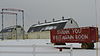
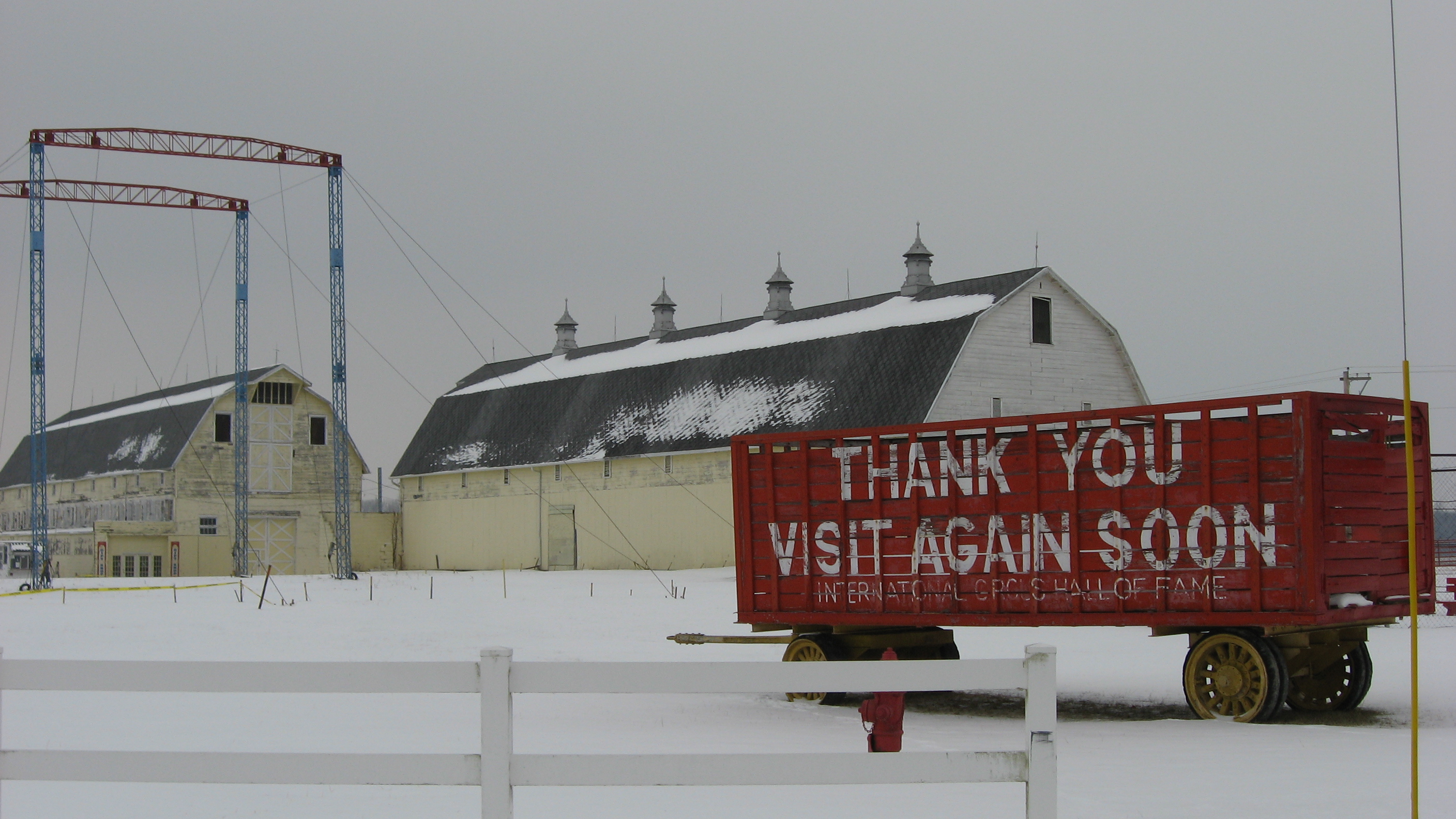
February 27, 1987 2.5 miles southeast of Peru
40°45′16″N 86°01′11″W / 40.754444°N 86.019722°WPeru 12 Westleigh Farms 
September 28, 2003 2107 S. Frances Slocum Trail
40°44′06″N 86°00′18″W / 40.735°N 86.005°WPeru See also
- List of National Historic Landmarks in Indiana
- National Register of Historic Places listings in Indiana
References
- ^ The latitude and longitude information provided in this table was derived originally from the National Register Information System, which has been found to be fairly accurate for about 99% of listings. For about 1% of NRIS original coordinates, experience has shown that one or both coordinates are typos or otherwise extremely far off; some corrections may have been made. A more subtle problem causes many locations to be off by up to 150 yards, depending on location in the country: most NRIS coordinates were derived from tracing out latitude and longitudes off of USGS topographical quadrant maps created under the North American Datum of 1927, which differs from the current, highly accurate WGS84 GPS system used by Google maps. Chicago is about right, but NRIS longitudes in Washington are higher by about 4.5 seconds, and are lower by about 2.0 seconds in Maine. Latitudes differ by about 1.0 second in Florida. Some locations in this table may have been corrected to current GPS standards.
- ^ "National Register of Historic Places: Weekly List Actions". National Park Service, United States Department of the Interior. Retrieved on November 10, 2011.
- ^ Numbers represent an ordering by significant words. Various colorings, defined here, differentiate National Historic Landmark sites and National Register of Historic Places Districts from other NRHP buildings, structures, sites or objects.
- ^ "National Register Information System". National Register of Historic Places. National Park Service. . http://nrhp.focus.nps.gov/natreg/docs/All_Data.html.
U.S. National Register of Historic Places Topics Lists by states Alabama • Alaska • Arizona • Arkansas • California • Colorado • Connecticut • Delaware • Florida • Georgia • Hawaii • Idaho • Illinois • Indiana • Iowa • Kansas • Kentucky • Louisiana • Maine • Maryland • Massachusetts • Michigan • Minnesota • Mississippi • Missouri • Montana • Nebraska • Nevada • New Hampshire • New Jersey • New Mexico • New York • North Carolina • North Dakota • Ohio • Oklahoma • Oregon • Pennsylvania • Rhode Island • South Carolina • South Dakota • Tennessee • Texas • Utah • Vermont • Virginia • Washington • West Virginia • Wisconsin • WyomingLists by territories Lists by associated states Other Municipalities and communities of Miami County, Indiana City 
Towns Amboy | Bunker Hill | Converse‡ | Denver | Macy
Townships Allen | Butler | Clay | Deer Creek | Erie | Harrison | Jackson | Jefferson | Perry | Peru | Pipe Creek | Richland | Union | Washington
Unincorporated
communitiesBirmingham | Chili | Courter | Deedsville | Doyle | Erie | Flora | Gilead | Grissom JARB‡ | Loree | McGrawsville | Mexico | Miami | Nead | New Santa Fe | North Grove | Park View Heights | Peoria | Perrysburg | Pettysville | Santa Fe | South Peru | Wawpecong | Wells
Footnotes ‡This populated place also has portions in an adjacent county or counties
Categories:- Miami County, Indiana
- National Register of Historic Places in Indiana by county
-


Wikimedia Foundation. 2010.