National Register of Historic Places listings in Chisago County, Minnesota
- National Register of Historic Places listings in Chisago County, Minnesota
-
This is a list of entries on the National Register of Historic Places in Chisago County, Minnesota.
Chisago County is a county located in the east central part of the U.S. state of Minnesota
| [1] |
Landmark name |
Image |
Date listed |
Location |
City or town |
Summary |
| 1 |
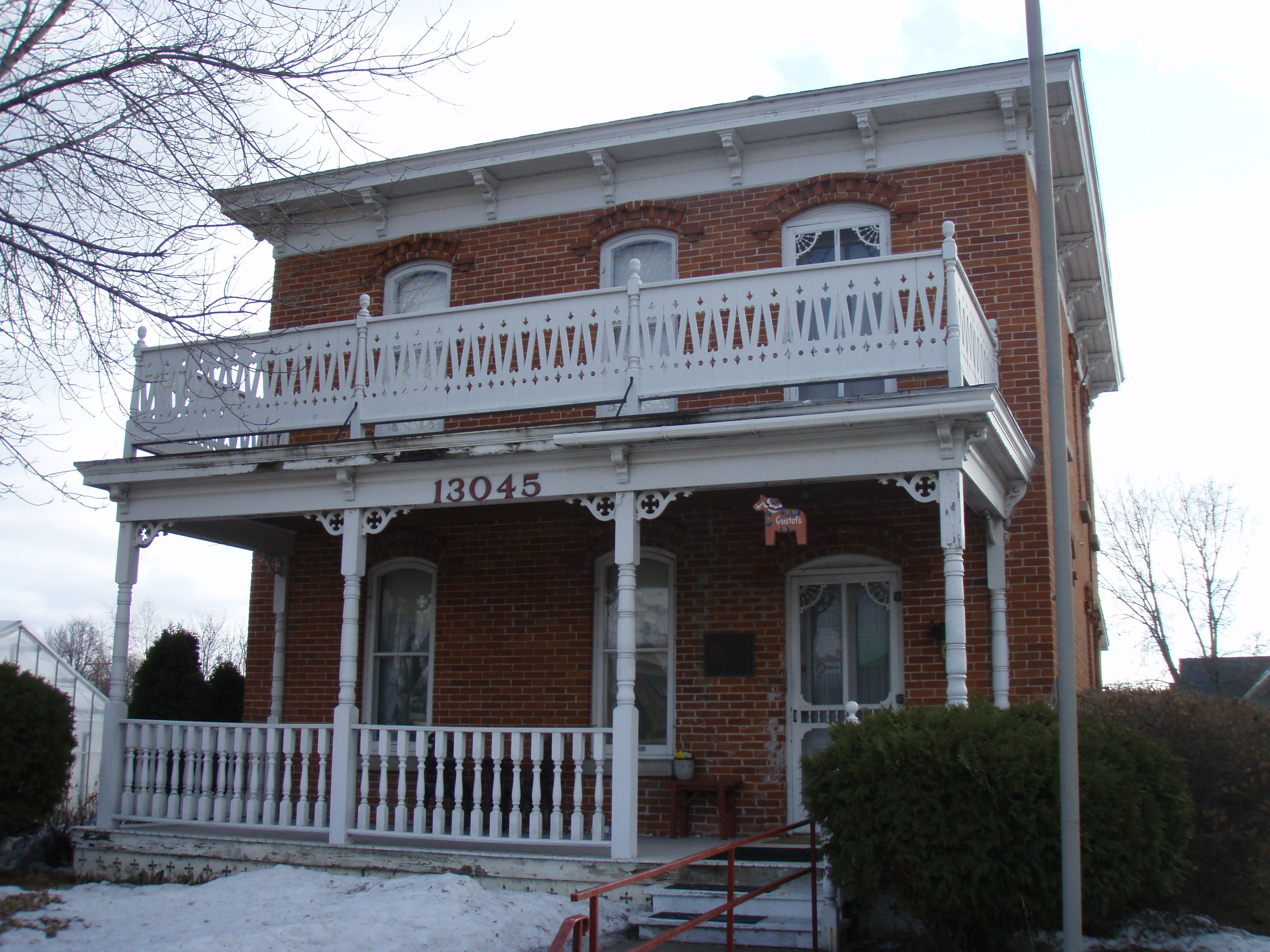
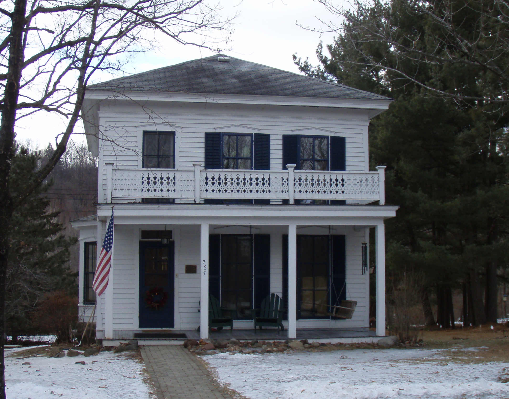
Gustaf Anderson House |
|
01980-07-21July 21, 1980 |
13045 Lake Boulevard
45°23′24″N 92°50′33″W / 45.39°N 92.8425°W / 45.39; -92.8425 (Gustaf Anderson House) |
Lindstrom |
|
| 2 |
Angel's Hill Historic District |
|
01972-04-11April 11, 1972 |
Roughly bounded by Military Rd. and Mill, Mulberry, and Government Sts.
45°24′03″N 92°40′08″W / 45.400833°N 92.668889°W / 45.400833; -92.668889 (Angel's Hill Historic District) |
Taylors Falls |
|
| 3 |
Archeological Site No. 21CH23 |
|
01989-01-16January 16, 1989 |
Address Restricted
|
Taylors Falls |
|
| 4 |
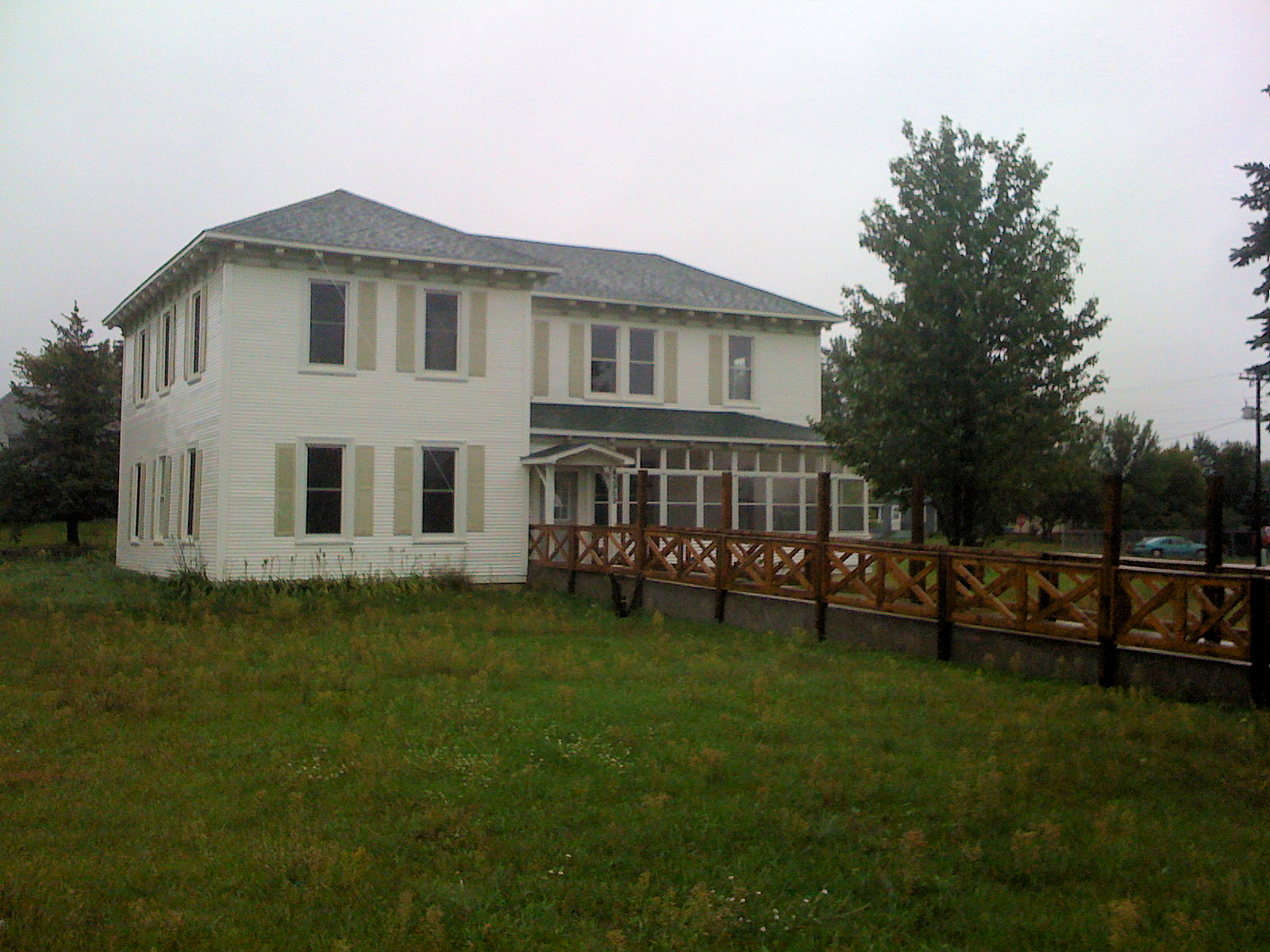
J.C. Carlson House |
|
01980-07-21July 21, 1980 |
640 Bremer Ave., S.
45°40′59″N 92°57′39″W / 45.683056°N 92.960833°W / 45.683056; -92.960833 (J.C. Carlson House) |
Rush City |
|
| 5 |
Center City Historic District |
|
01980-07-21July 21, 1980 |
Summit Ave.
45°23′39″N 92°49′00″W / 45.394167°N 92.816667°W / 45.394167; -92.816667 (Center City Historic District) |
Center City |
|
| 6 |
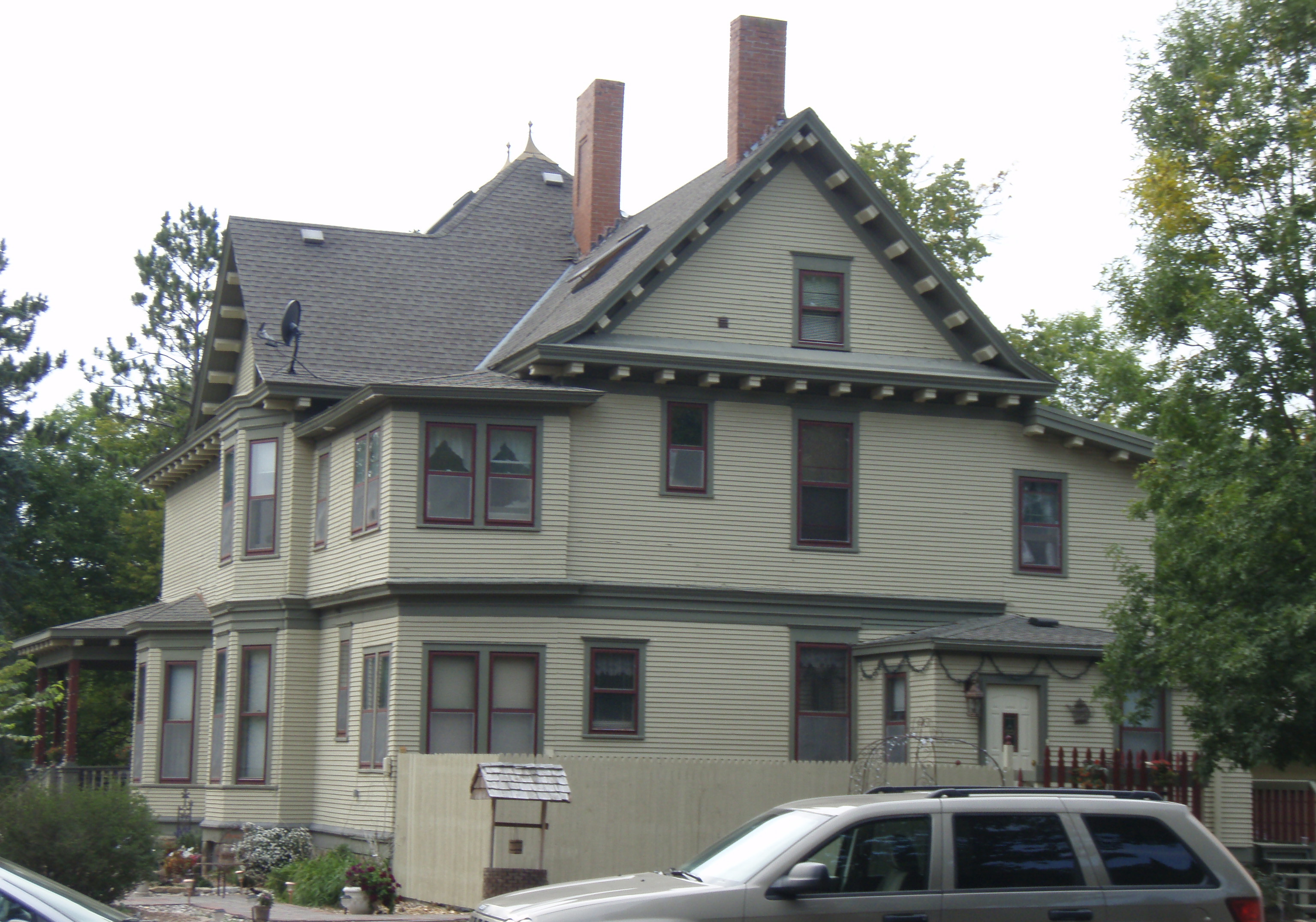
John Daubney House |
|
01980-07-21July 21, 1980 |
Oak and River Sts.
45°24′35″N 92°39′02″W / 45.409722°N 92.650556°W / 45.409722; -92.650556 (John Daubney House) |
Taylors Falls |
|
| 7 |
Franconia Historic District |
|
01980-06-17June 17, 1980 |
Roughly Cornelian, Summer, and Henry Sts.
45°22′02″N 92°41′57″W / 45.367222°N 92.699167°W / 45.367222; -92.699167 (Franconia Historic District) |
Taylors Falls |
|
| 8 |
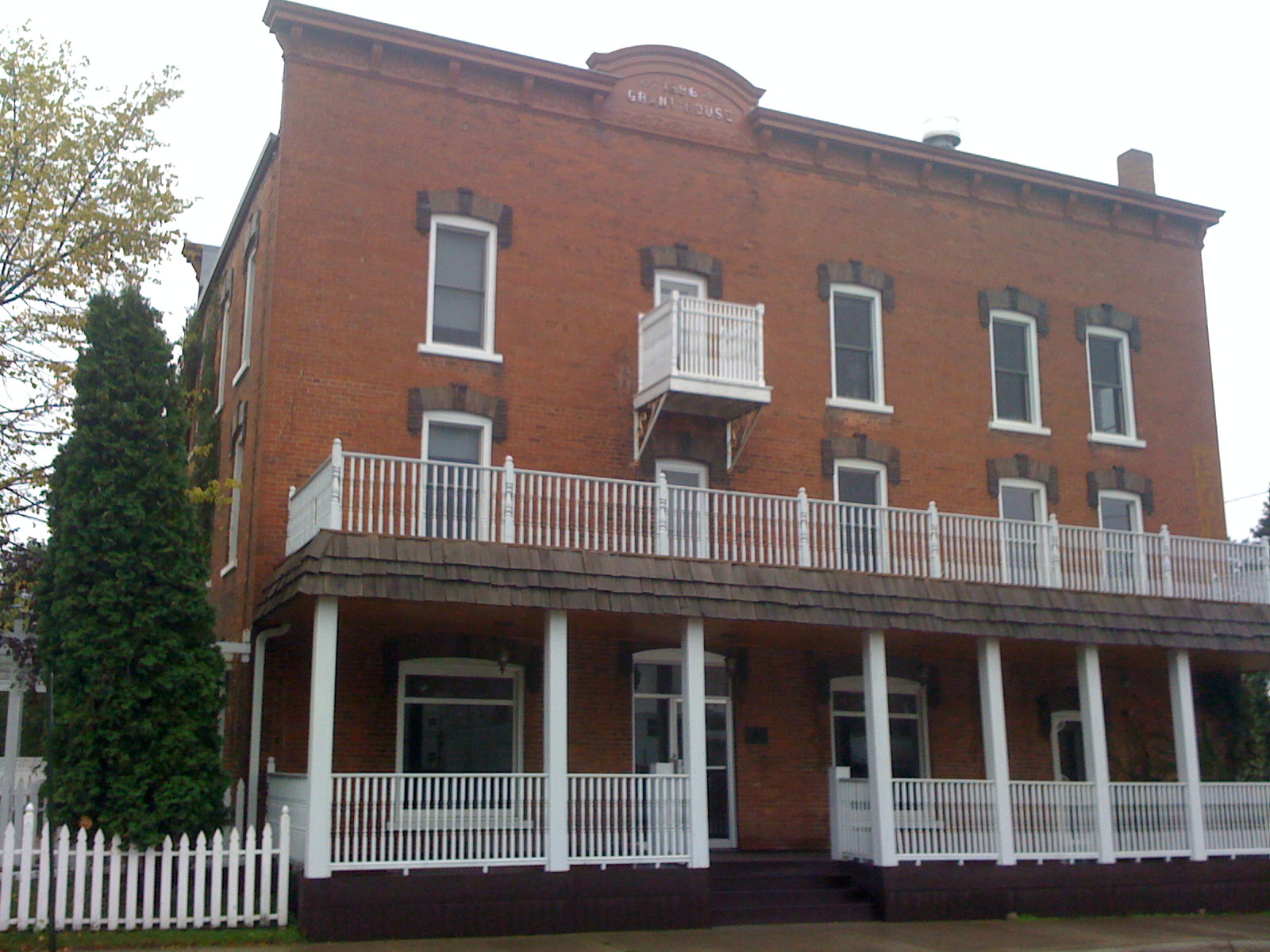
Grant House |
|
01980-07-21July 21, 1980 |
4th St. and Bremer
45°41′04″N 92°57′40″W / 45.684444°N 92.961111°W / 45.684444; -92.961111 (Grant House) |
Rush City |
|
| 9 |
Interstate State Park CCC/WPA/Rustic Style Campground |
|
01992-06-11June 11, 1992 |
Off U.S. Route 8 southwest of Taylors Falls
45°23′36″N 92°40′06″W / 45.393333°N 92.668333°W / 45.393333; -92.668333 (Interstate State Park CCC/WPA/Rustic Style Campground) |
Shafer Township |
|
| 10 |
Interstate State Park WPA/Rustic Style Historic District |
|
01992-06-11June 11, 1992 |
Off U.S. Route 8
45°23′59″N 92°39′03″W / 45.399722°N 92.650833°W / 45.399722; -92.650833 (Interstate State Park WPA/Rustic Style Historic District) |
Taylors Falls |
|
| 11 |
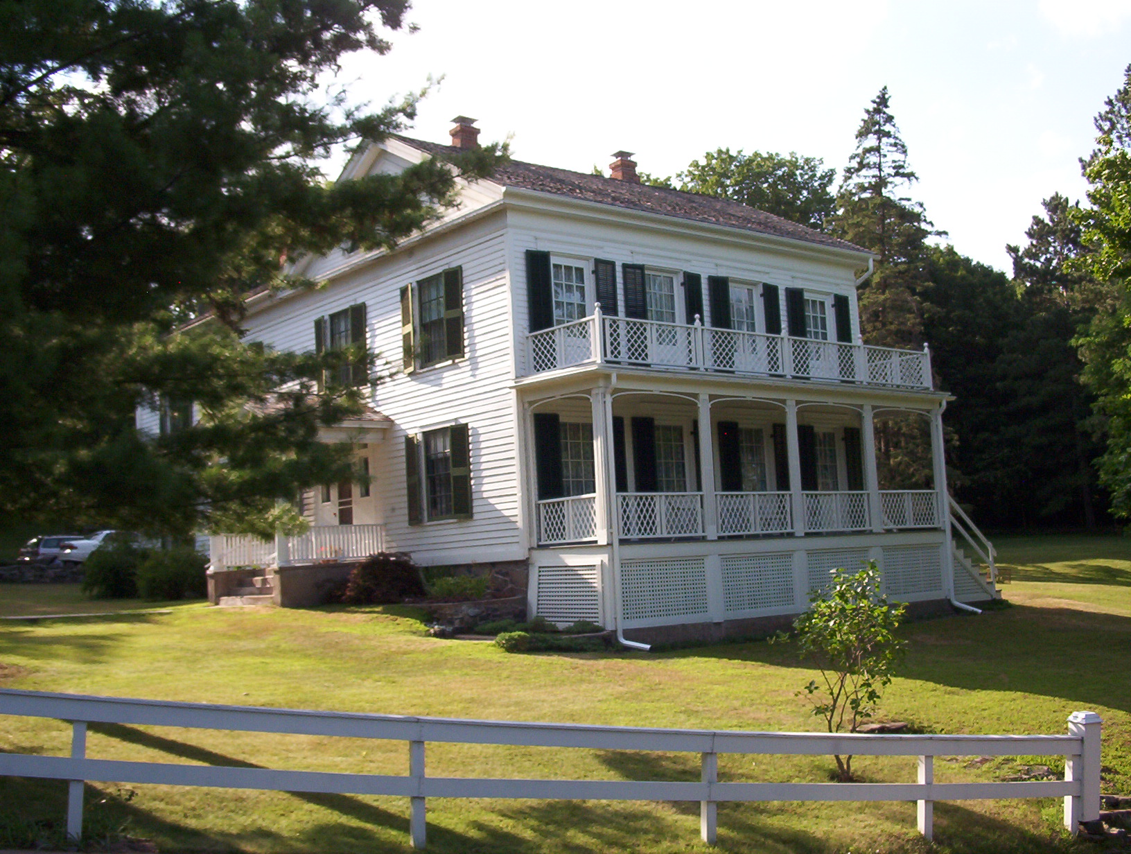
Frank A. Larson House |
|
01980-07-21July 21, 1980 |
Newell Ave.
45°23′18″N 92°51′01″W / 45.388333°N 92.850278°W / 45.388333; -92.850278 (Frank A. Larson House) |
Lindstrom |
|
| 12 |
Moody Barn |
|
01980-07-21July 21, 1980 |
County Highway 24
45°18′07″N 92°52′14″W / 45.301944°N 92.870556°W / 45.301944; -92.870556 (Moody Barn) |
Chisago City |
|
| 13 |
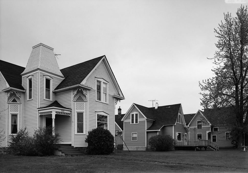
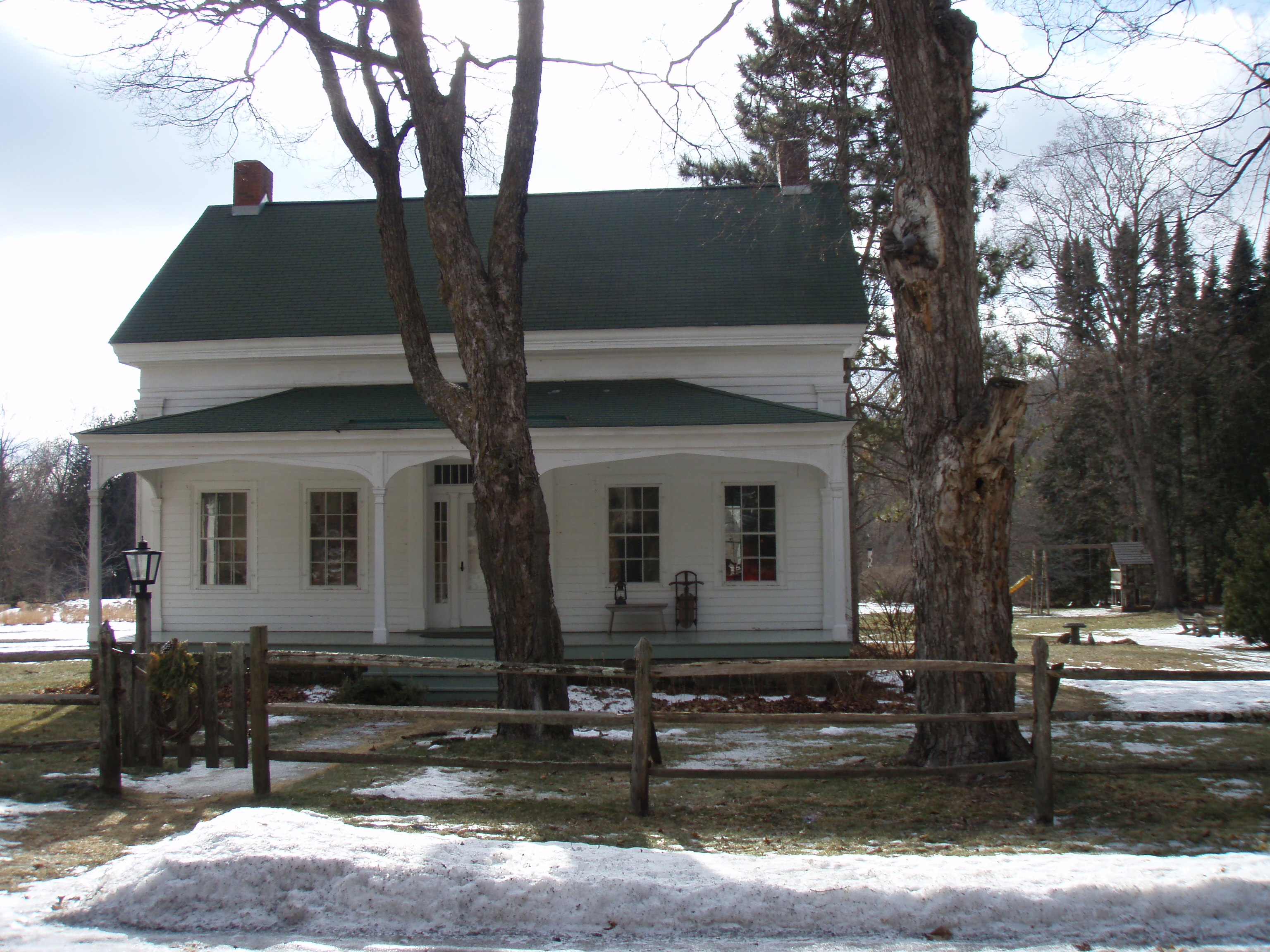
Paul Munch House |
|
01976-05-04May 4, 1976 |
Summer St.
45°22′16″N 92°41′37″W / 45.371111°N 92.693611°W / 45.371111; -92.693611 (Paul Munch House) |
Taylors Falls |
|
| 14 |
Munch-Roos House |
|
01970-11-20November 20, 1970 |
360 Bench St.
45°24′14″N 92°39′04″W / 45.403889°N 92.651111°W / 45.403889; -92.651111 (Munch-Roos House) |
Taylors Falls |
|
| 15 |
Point Douglas to Superior Military Road: Deer Creek Section |
|
01991-02-07February 7, 1991 |
Off County Highway 16 in St. Croix Wild River State Park, Amador Twp.
45°30′17″N 92°43′03″W / 45.504722°N 92.7175°W / 45.504722; -92.7175 (Point Douglas to Superior Military Road: Deer Creek Section) |
Amador Township |
[1] |
| 16 |
Sayer House |
|
01980-07-21July 21, 1980 |
County Highways 9 and 30
45°35′09″N 92°58′27″W / 45.585833°N 92.974167°W / 45.585833; -92.974167 (Sayer House) |
Harris |
|
| 17 |
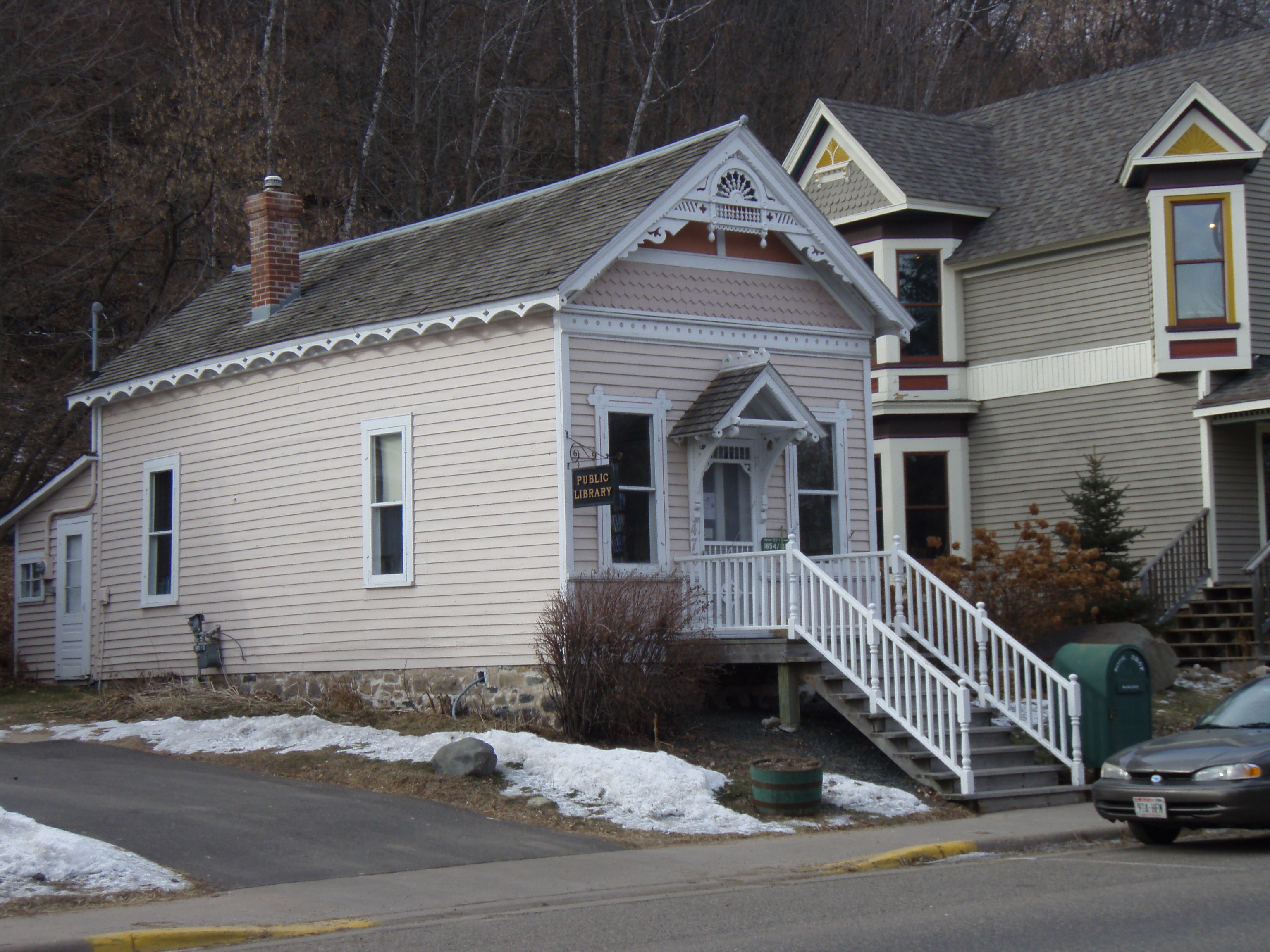
Taylors Falls Public Library |
|
01970-10-15October 15, 1970 |
417 Bench St.
45°24′10″N 92°39′09″W / 45.402778°N 92.6525°W / 45.402778; -92.6525 (Taylors Falls Public Library) |
Taylors Falls |
|
| 18 |
Charles A. Victor House |
|
01980-07-21July 21, 1980 |
30495 Park St.
45°23′22″N 92°50′53″W / 45.389444°N 92.848056°W / 45.389444; -92.848056 (Charles A. Victor House) |
Lindstrom |
|
See also
Main article: List of Registered Historic Places in Minnesota
References
Nord, Mary Ann (2003). The National Register of Historic Places in Minnesota. Minnesota Historical Society. ISBN 0-87351-448-3.
External links
Categories:
- Chisago County, Minnesota
- National Register of Historic Places in Minnesota by county
- Buildings and structures in Chisago County, Minnesota
Wikimedia Foundation.
2010.
Look at other dictionaries:
National Register of Historic Places listings in Ramsey County, Minnesota — Ramsey County This is a complete list of National Register of Historic Places listings in Ramsey County, Minnesota. There are 111 properties in the county listed on the National Register of Historic Places including three National Historic… … Wikipedia
National Register of Historic Places listings in Hennepin County, Minnesota — Hennepin County, Minnesota contains 142 properties and historic districts that are listed on the National Register of Historic Places. A significant number of National Register properties in Hennepin County are a result of the establishment of… … Wikipedia
National Register of Historic Places listings in Dakota County, Minnesota — Dakota County This is a list of properties on the National Register of Historic Places in Dakota County, Minnesota. Dakota County is a county located in the southeastern part of the U.S. state of Minnesota, bounded on the northeast side by the… … Wikipedia
National Register of Historic Places listings in Anoka County, Minnesota — Map of all coordinates from Google Map of all coordinates from Bing … Wikipedia
National Register of Historic Places listings in Goodhue County, Minnesota — Map of all coordinates from Google Map of all coordinates from Bing … Wikipedia
National Register of Historic Places listings in Carver County, Minnesota — This is a complete List of Registered Historic Places in Carver County, Minnesota. The list includes 33 entries on the National Register of Historic Places. Carver County is a county located in the southeastern part of the U.S. state of Minnesota … Wikipedia
National Register of Historic Places listings in Olmsted County, Minnesota — Map of all coordinates from Google Map of all coordinates from Bing … Wikipedia
National Register of Historic Places listings in Houston County, Minnesota — This is a list of NRHP sites in Houston County, Minnesota. See List of RHPs in MN. Map of all coordinates from Google Map of all coordinates from Bing … Wikipedia
National Register of Historic Places listings in Swift County, Minnesota — This is a list of entries on the National Register of Historic Places in Swift County, Minnesota. Swift County is located in the west central part of Minnesota. Current listings [1] Landmark name Image Date listed Location … Wikipedia
National Register of Historic Places listings in Winona County, Minnesota — This is a listing of entries on the National Register of Historic Places in Winona County, Minnesota. [1] Landmark name Image Date listed Location City or town Summary … Wikipedia