- City of Canterbury (New South Wales)
-
City of Canterbury
New South Wales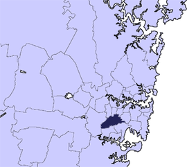
Population: 143,111(2009)[1] • Density: 4000/km² (10,360.0/sq mi) Area: 34 km² (13.1 sq mi) Mayor: Robert Furolo (ALP) Council Seat: Campsie Region: Metropolitan Sydney State District: Canterbury, Lakemba, Oatley Federal Division: Watson, Banks, Blaxland, Grayndler, Barton LGAs around City of Canterbury: Municipality of Strathfield Burwood Council Municipality of Ashfield City of Bankstown City of Canterbury Marrickville Council City of Bankstown City of Hurstville City of Rockdale The City of Canterbury, previously the Municipality of Canterbury, is a Local Government Area in Sydney, New South Wales, Australia. It lies southwest of the central business district and forms part of the Greater Sydney metropolitan area.
Canterbury is primarily residential and light industrial in character. The city is home to over 130 nationalities, with a majority of its residents being born overseas. Hence Canterbury calls itself "the City of Cultural Diversity."
Contents
Suburbs in the local government area
Suburbs in the City of Canterbury are:
- Ashbury
- Belfield
- Belmore
- Beverly Hills
- Campsie
- Canterbury
- Clemton Park
- Croydon Park
- Earlwood
- Hurlstone Park
- Kingsgrove
- Lakemba
- Narwee
- Punchbowl
- Riverwood
- Roselands
- Undercliffe
- Wiley Park
Localities in the City of Canterbury are:- Harcourt
- McCallums Hill
Physical characteristics
The city area is roughly enclosed by three waterways. The original village of Canterbury Vale was situated on the Cooks River. The upper parts of the river define the northern limits of the city. A major tributary, Wolli Creek forms part of the southern border of the city. The western limit of the city is defined by Salt Pan Creek. The short canal, Cup and Saucer Creek flows within the city area.
Physically the land is slightly hilly, although it is regarded as part of the Cumberland Plain. The underlying rock is sandstone.
Council
Canterbury City Council is composed of nine councillors elected proportionally, in addition to the mayor, who is directly elected. The city is divided into three wards, each of which elects three councillors.[2] The current makeup of the council, including the mayor, is as follows:[2]
Party Councillors Australian Labor Party 6 Liberal Party of Australia 2 The Greens 1 Independent 1 Total 10 The current council, elected in 2008, is:[2]
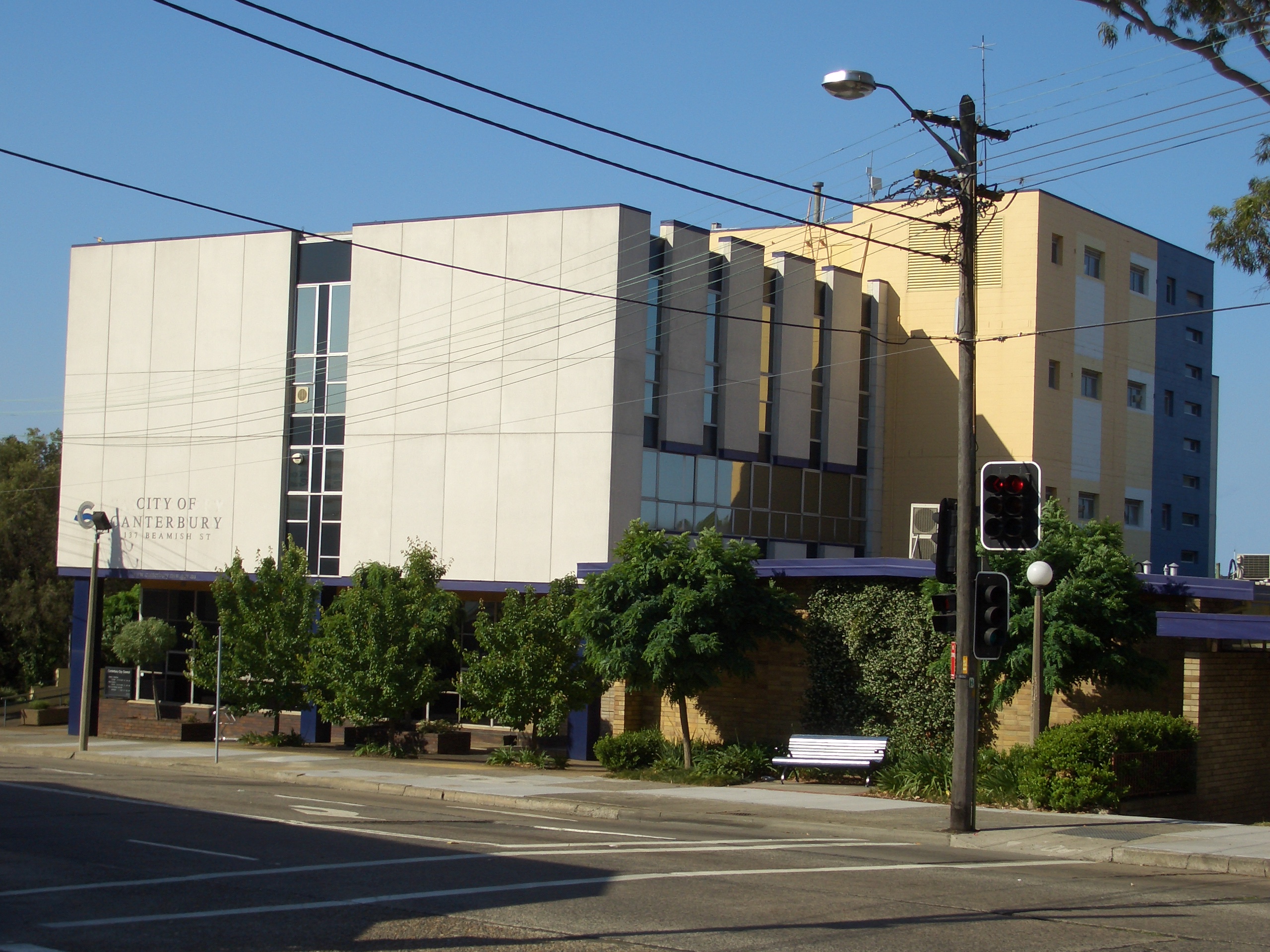
Ward Councillor Party Mayor Robert Furolo Labor Central Ward Mark Adler Labor Fadwa Kebbe Labor Ken Nam Liberal East Ward Bill Kritharas Labor Linda Eisler Greens Carlo Favorito Independent West Ward Brian Robson Labor Karl Saleh Labor Michael Hawatt Liberal  City of Canterbury Council Chambers, Beamish Street, Campsie
Attractions
- Canterbury Park [Race track|Racecourse] features a 1,578 metre track and attracts thousands to its [horse racing] carnivals.
- Belmore Oval is home to the Canterbury Bulldogs, a team in the National Rugby League.
- Roselands Shopping Centre was the first building of its type in Australia.
- Lakemba Mosque. The mosque was built for the large number of Lebanese-Muslim's during the 1970s. It finished construction in 1977.
Notable citizens
The following notable people were born or lived in the area:
- Former Prime Minister John Howard
- Actor Alex Dimitriades
- Boxers Anthony Mundine and Tony Mundine
Road transport
The South Western Motorway passes through the city, with exits at Belmore Road, Kingsgrove Road, King Georges Road and Bexley Road. The section west of King Georges Road was finished in 1993 and the remainder completed in 2002. The Motorway connects Sydney to the South West of the state, Canberra and Victoria.
King Georges Road is part of major arterial ring system. The route connects the north of Sydney with Wollongong and the South Coast.
Canterbury Road is another arterial route, 11 kilometres long. The road connects the inner west suburbs of Sydney with Bankstown and suburbs further to the south-west, however its role in the metropolitan system was largely superseded by the completion of the Motorway.
The city is responsible for a network of secondary roads and minor roads, constructed of bitumen with concrete guttering. This network is complete and rarely extended.
Rail transport
The area is served by the Bankstown line of the CityRail network. The line was opened in 1895 and electrified in 1926. Additional tracks were laid for goods traffic. Within the city are the stations of Hurlstone Park, Canterbury, Campsie, Belmore, Lakemba, Wiley Park and Punchbowl. An eighth station, Narwee, is on the East Hills line.
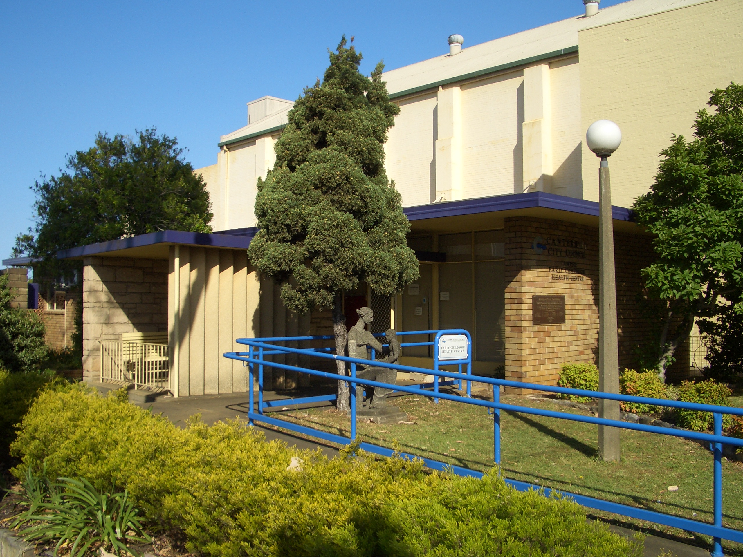
 Campsie Early Childhood Centre
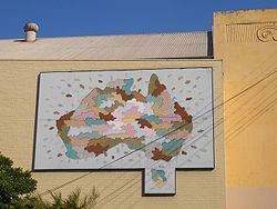 artwork near City of Canterbury Council Chambers
Sister cities
Canterbury is home to the largest Korean born population in Australia and maintains a sister city relationship with Eunpyong-gu, a municipal district within Seoul, South Korea and Patras, Greece. The relationship with Seoul is commemorated with a special friendship garden in Loft Gardens at Campsie.
History
Main article: Canterbury, New South Wales#HistoryIndigenous Australians lived in this area for thousand of years. In 1770, the land along the Cooks River was explored by officers from HM Bark Endeavour.
In 1793, the area's first land grant was made to the chaplain of the First Fleet, the Reverend Richard Johnson, and given the name Canterbury Vale. Residential development began picking up in the area during the 1880s. A leading developer at this time was Frederick Jamison Gibbes, a Member of Parliament for the seat of Newtown, who was also involved in property ventures in Rockdale and in his electorate.
A railway was completed in 1895 encouraging further suburban development which led to the area becoming heavily populated.
After much petitioning of the State Government by local residents, the Municipality of Canterbury was proclaimed on 17 March 1879. A Town Hall was opened in 1889 in Canterbury. However, over time, Campsie became a more important centre and the city administration moved there in 1962.
References
- ^ Australian Bureau of Statistics (30 March 2010). "Regional Population Growth, Australia, 2008–09". http://www.abs.gov.au/ausstats/abs@.nsf/Latestproducts/3218.0Main%20Features42008-09?opendocument&tabname=Summary&prodno=3218.0&issue=2008-09&num=&view=. Retrieved 3 June 2010.
- ^ a b c "Bathurst Regional Council". 2008 Election results. Electoral Commission NSW. http://www.lg.elections.nsw.gov.au/LGE2008/result.Bathurst.html. Retrieved 2009-06-16.[dead link]
External links
- Canterbury City Council website
- History of Canterbury City
- Map of suburbs in Canterbury City
- Festivals, Arts and Culture in the City of Canterbury
- Demographics and Interesting Statistics
- 2001 Census Information
Regions of Sydney Local Government Areas of Sydney Ashfield · Auburn · Bankstown · Blacktown · Botany Bay · Burwood · Camden · Campbelltown · Canada Bay · Canterbury · Fairfield · The Hills · Holroyd · Hornsby · Hunter's Hill · Hurstville · Kogarah · Ku-ring-gai · Lane Cove · Leichhardt · Liverpool · Manly · Marrickville · Mosman · North Sydney · Parramatta · Penrith · Pittwater · Randwick · Rockdale · Ryde · Strathfield · Sutherland · City of Sydney · Warringah · Waverley · Willoughby · WoollahraList of Sydney suburbs Local Government Areas of New South Wales Metropolitan Sydney Inner SydneyAshfield · Botany Bay · Burwood · Canada Bay · Canterbury · Hurstville · Kogarah · Lane Cove · Leichhardt · Manly · Marrickville · Mosman · North Sydney · Randwick · Rockdale · Strathfield · Sydney · Waverley · Willoughby · WoollahraOuter SydneyAuburn · Bankstown · Blacktown · Camden · Campbelltown · Fairfield · The Hills · Holroyd · Hornsby · Hunter's Hill · Ku-ring-gai · Liverpool · Parramatta · Penrith · Pittwater · Ryde · Sutherland · WarringahSydney SurroundsMid North Coast Bellingen · Clarence Valley · Coffs Harbour · Greater Taree · Kempsey · Nambucca · Port Macquarie-Hastings · Lord Howe IslandMurray Murrumbidgee Carrathool · Coolamon · Cootamundra · Griffith · Gundagai · Hay · Junee · Leeton · Lockhart · Murrumbidgee · Narrandera · Temora · Wagga WaggaHunter Cessnock · Dungog · Gloucester · Great Lakes · Lake Macquarie · Maitland · Muswellbrook · Newcastle · Port Stephens · Singleton · Upper HunterIllawarra Richmond Tweed Southeastern Bega · Bombala · Boorowa · Cooma-Monaro · Eurobodalla · Goulburn Mulwaree · Harden · Palerang · Queanbeyan · Snowy River · Tumut · Upper Lachlan · Yass Valley · YoungNorthern Armadale Dumaresq · Glen Innes-Severn · Gunnedah · Guyra · Gwydir · Inverell · Liverpool Plains · Moree Plains · Narrabri · Tamworth · Tenterfield · Uralla · WalchaCentral West North Western Far West Categories:- Local Government Areas in Sydney


Wikimedia Foundation. 2010.