- Deniliquin Council
-
Deniliquin Council
New South Wales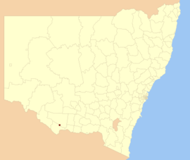
Population: 7,693(2009)[1] • Density: 63.2/km² (163.7/sq mi) Area: 130 km² (50.2 sq mi) Mayor: Lindsay Renwick Council Seat: Deniliquin Region: Riverina State District: Murray-Darling Federal Division: Farrer Website: http://www.deniliquin.nsw.gov.au/ 
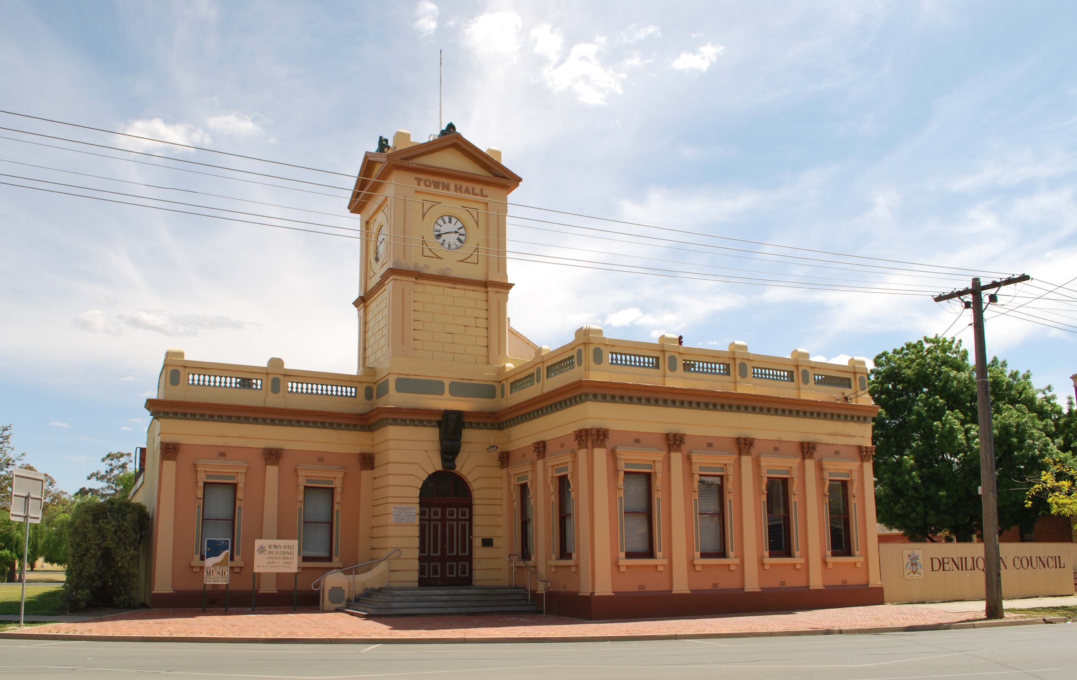
LGAs around Deniliquin Council: Conargo Conargo Conargo Murray Deniliquin Council Conargo Murray Murray Murray  Deniliquin Town Hall
Deniliquin Shire is a local government area in the Riverina region of New South Wales, Australia, close to the border with Victoria. It is the only rural local government area in New South Wales left consisting only of a rural town, and is surrounded by two (previously three) rural local government areas (Conargo Shire and Murray Shire).
Council
Deniliquin Council is composed of nine councillors elected proportionally. The mayor is not directly elected.[2] The current makeup of the council is as follows:[2]
Party Councillors Independents and Unaffiliated 9 Total 9 The current council, elected in 2008, is:[2]
Councillor Party Notes Lindsay Renwick Independent Mayor Brian Mitsch Independent Richard Arnold Independent Peter Connell Unaffiliated Susan Taylor Unaffiliated Deputy Mayor Darren Walton Independent Peter Peers Unaffiliated Denise Higgins Independent Carlee Rundell-Gordon Independent References
- ^ Australian Bureau of Statistics (30 March 2010). "Regional Population Growth, Australia, 2008–09". http://www.abs.gov.au/ausstats/abs@.nsf/Latestproducts/3218.0Main%20Features42008-09?opendocument&tabname=Summary&prodno=3218.0&issue=2008-09&num=&view=. Retrieved 3 June 2010.
- ^ a b c "Deniliquin Council". 2008 Election results. Electoral Commission NSW. http://www.lg.elections.nsw.gov.au/LGE2008/result.Deniliquin.html. Retrieved 2009-06-16.[dead link]
Coordinates: 35°32′S 144°58′E / 35.533°S 144.967°E
Local Government Areas of the Riverina Cities: Albury · Griffith · Wagga Wagga
Towns: Deniliquin
Shires: Balranald · Berrigan · Carrathool · Conargo · Coolamon · Cootamundra · Corowa · Greater Hume · Gundagai · Hay · Jerilderie · Junee · Leeton · Lockhart · Murray · Murrumbidgee · Narrandera · Temora · Tumbarumba · Tumut · Urana · Wakool
Local Government Areas of New South Wales Metropolitan Sydney Inner SydneyAshfield · Botany Bay · Burwood · Canada Bay · Canterbury · Hurstville · Kogarah · Lane Cove · Leichhardt · Manly · Marrickville · Mosman · North Sydney · Randwick · Rockdale · Strathfield · Sydney · Waverley · Willoughby · WoollahraOuter SydneyAuburn · Bankstown · Blacktown · Camden · Campbelltown · Fairfield · The Hills · Holroyd · Hornsby · Hunter's Hill · Ku-ring-gai · Liverpool · Parramatta · Penrith · Pittwater · Ryde · Sutherland · WarringahSydney SurroundsMid North Coast Bellingen · Clarence Valley · Coffs Harbour · Greater Taree · Kempsey · Nambucca · Port Macquarie-Hastings · Lord Howe IslandMurray Murrumbidgee Carrathool · Coolamon · Cootamundra · Griffith · Gundagai · Hay · Junee · Leeton · Lockhart · Murrumbidgee · Narrandera · Temora · Wagga WaggaHunter Cessnock · Dungog · Gloucester · Great Lakes · Lake Macquarie · Maitland · Muswellbrook · Newcastle · Port Stephens · Singleton · Upper HunterIllawarra Richmond Tweed Southeastern Bega · Bombala · Boorowa · Cooma-Monaro · Eurobodalla · Goulburn Mulwaree · Harden · Palerang · Queanbeyan · Snowy River · Tumut · Upper Lachlan · Yass Valley · YoungNorthern Armadale Dumaresq · Glen Innes-Severn · Gunnedah · Guyra · Gwydir · Inverell · Liverpool Plains · Moree Plains · Narrabri · Tamworth · Tenterfield · Uralla · WalchaCentral West North Western Far West Categories:- Local Government Areas of New South Wales
- Deniliquin
- Riverina geography stubs

Wikimedia Foundation. 2010.