- Wakool Shire
-
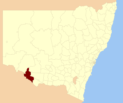
Shire of Wakool
New South Wales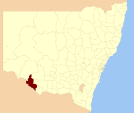
Location in New South WalesPopulation: 4,427(2009)[1] • Density: 1.55/km² (4.0/sq mi) Area: 7520 km² (2,903.5 sq mi) Mayor: Rod Chalmers Council Seat: Moulamein (Tualka Terrace) Region: Riverina State District: Murray-Darling Federal Division: Farrer LGAs around Shire of Wakool: Balranald Hay Conargo Swan Hill (Vic) Shire of Wakool Conargo Swan Hill (Vic) Gannawarra (Vic) Murray Wakool Shire is a Local Government Area located between the Murray River and the Murrumbidgee River and on the Sturt Highway.
Towns in the Shire are: Barham (1233), Moulamein (465), Tooleybuc (approx 250), Wakool (approx 250) and Koraleigh.
Council
Wakool Shire Council is composed of six councillors elected proportionally. The area is divided into three wards, each electing two councillors. The mayor is not directly elected.[2] The current makeup of the council is as follows:[2]
Party Councillors Unaffiliated 6 Total 6 The current council, elected in 2008, is:[2]
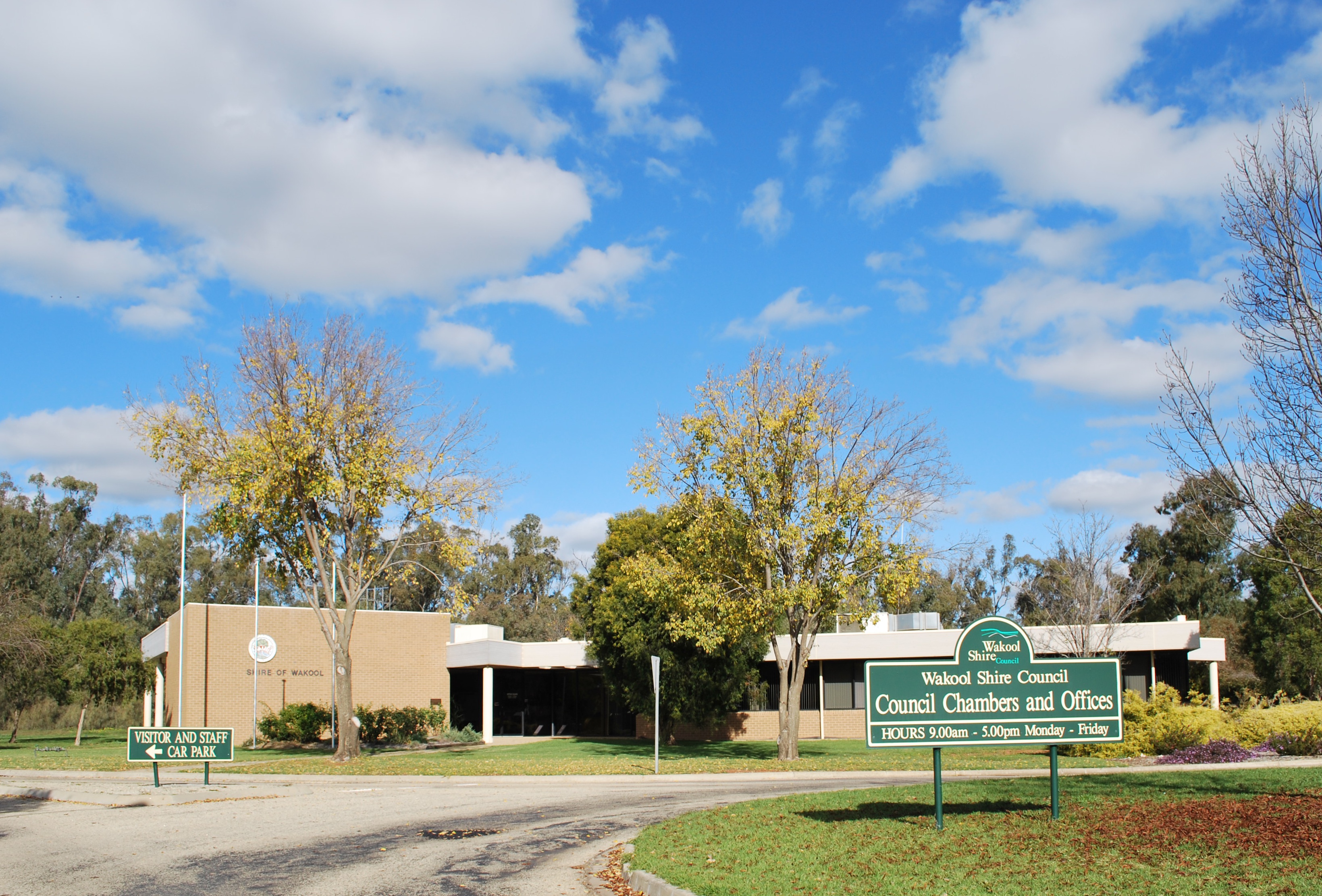
Ward Councillor Party Notes A Ward Lois Lockhart Unaffiliated Andrew Douglas Unaffiliated B Ward Rod Chalmers Unaffiliated Mayor Vacant C Ward Phill O'Neill Unaffiliated Ken Trewin Unaffiliated  Council chambers at Moulamein
References
- ^ Australian Bureau of Statistics (30 March 2010). "Regional Population Growth, Australia, 2008–09". http://www.abs.gov.au/ausstats/abs@.nsf/Latestproducts/3218.0Main%20Features42008-09?opendocument&tabname=Summary&prodno=3218.0&issue=2008-09&num=&view=. Retrieved 3 June 2010.
- ^ a b c "Wakool Shire Council". 2008 Election results. Electoral Commission NSW. http://www.lg.elections.nsw.gov.au/LGE2008/result.Wakool.html. Retrieved 2009-08-03.[dead link]
Coordinates: 35°05′S 144°02′E / 35.083°S 144.033°E
Towns in the Wakool Shire Local Government Area Local Government Areas of the Riverina Cities: Albury · Griffith · Wagga Wagga
Towns: Deniliquin
Shires: Balranald · Berrigan · Carrathool · Conargo · Coolamon · Cootamundra · Corowa · Greater Hume · Gundagai · Hay · Jerilderie · Junee · Leeton · Lockhart · Murray · Murrumbidgee · Narrandera · Temora · Tumbarumba · Tumut · Urana · Wakool
Local Government Areas of New South Wales Metropolitan Sydney Inner SydneyAshfield · Botany Bay · Burwood · Canada Bay · Canterbury · Hurstville · Kogarah · Lane Cove · Leichhardt · Manly · Marrickville · Mosman · North Sydney · Randwick · Rockdale · Strathfield · Sydney · Waverley · Willoughby · WoollahraOuter SydneyAuburn · Bankstown · Blacktown · Camden · Campbelltown · Fairfield · The Hills · Holroyd · Hornsby · Hunter's Hill · Ku-ring-gai · Liverpool · Parramatta · Penrith · Pittwater · Ryde · Sutherland · WarringahSydney SurroundsMid North Coast Bellingen · Clarence Valley · Coffs Harbour · Greater Taree · Kempsey · Nambucca · Port Macquarie-Hastings · Lord Howe IslandMurray Albury · Balranald · Berrigan · Conargo · Corowa · Deniliquin · Greater Hume · Jerilderie · Murray · Tumbarumba · Urana · Wakool · WentworthMurrumbidgee Carrathool · Coolamon · Cootamundra · Griffith · Gundagai · Hay · Junee · Leeton · Lockhart · Murrumbidgee · Narrandera · Temora · Wagga WaggaHunter Cessnock · Dungog · Gloucester · Great Lakes · Lake Macquarie · Maitland · Muswellbrook · Newcastle · Port Stephens · Singleton · Upper HunterIllawarra Richmond Tweed Southeastern Bega · Bombala · Boorowa · Cooma-Monaro · Eurobodalla · Goulburn Mulwaree · Harden · Palerang · Queanbeyan · Snowy River · Tumut · Upper Lachlan · Yass Valley · YoungNorthern Armadale Dumaresq · Glen Innes-Severn · Gunnedah · Guyra · Gwydir · Inverell · Liverpool Plains · Moree Plains · Narrabri · Tamworth · Tenterfield · Uralla · WalchaCentral West North Western Far West Categories:- Local Government Areas of New South Wales
- Local Government Areas of the Riverina, New South Wales
- Riverina geography stubs
Wikimedia Foundation. 2010.