- Murrumbidgee River
-
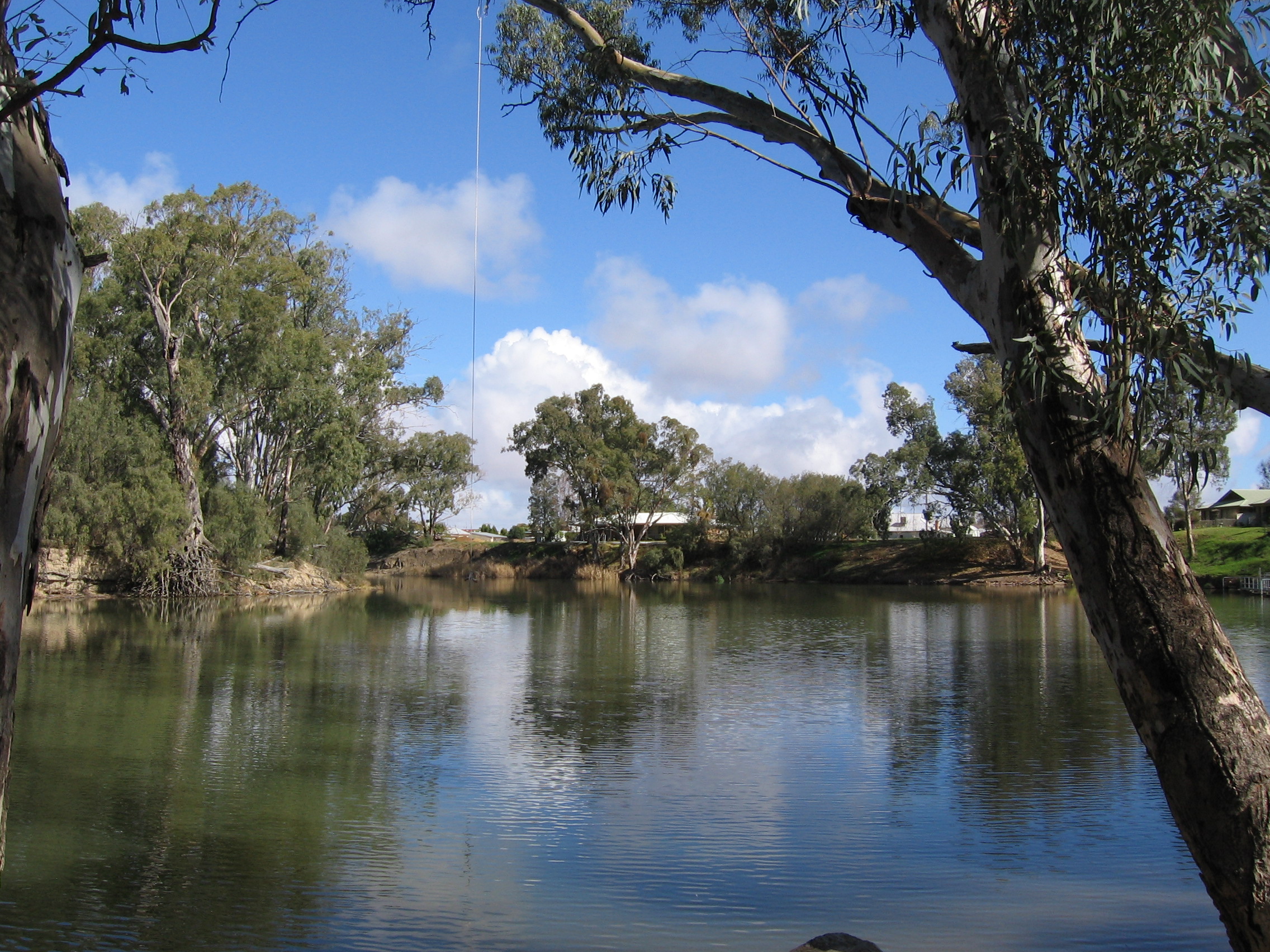
Murrumbidgee River  Murrumbidgee River at Wagga Wagga
Country Australia States New South Wales, Australian Capital Territory Part of Murray River, Murray-Darling basin Tributaries - left Cotter River, Tumut River - right Molonglo River, Yass River, Lachlan River Cities Cooma, Canberra, Gundagai, Wagga Wagga, Narrandera, Hay, Balranald Source Peppercorn Hill - location Snowy Mountains, NSW - elevation 1,600 m (5,249 ft) approx. - coordinates 35°35′7″S 148°36′5″E / 35.58528°S 148.60139°E Mouth confluence with Murray River - location near Boundary Bend, NSW/Vic - coordinates 34°43′43″S 143°13′8″E / 34.72861°S 143.21889°E Length 1,400 km (900 mi) approx. Basin 80,000 km2 (30,000 sq mi) approx. 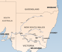 The Murrumbidgee is a major tributary of the Murray River
The Murrumbidgee River (
 /mʌrəmˈbɪdʒi/)[1][2] is a major river in the state of New South Wales, Australia, and the Australian Capital Territory (ACT). A major tributary of the Murray River, the Murrumbidgee flows 900 kilometres (559 mi) in a west-northwesterly direction from the foot of Peppercorn Hill in the Fiery Range of the Snowy Mountains, through the ACT, and to a confluence with the Murray.
The word Murrumbidgee means "big water" in the Wiradjuri language, the local Aboriginal language.[3][4]
Contents
Flow
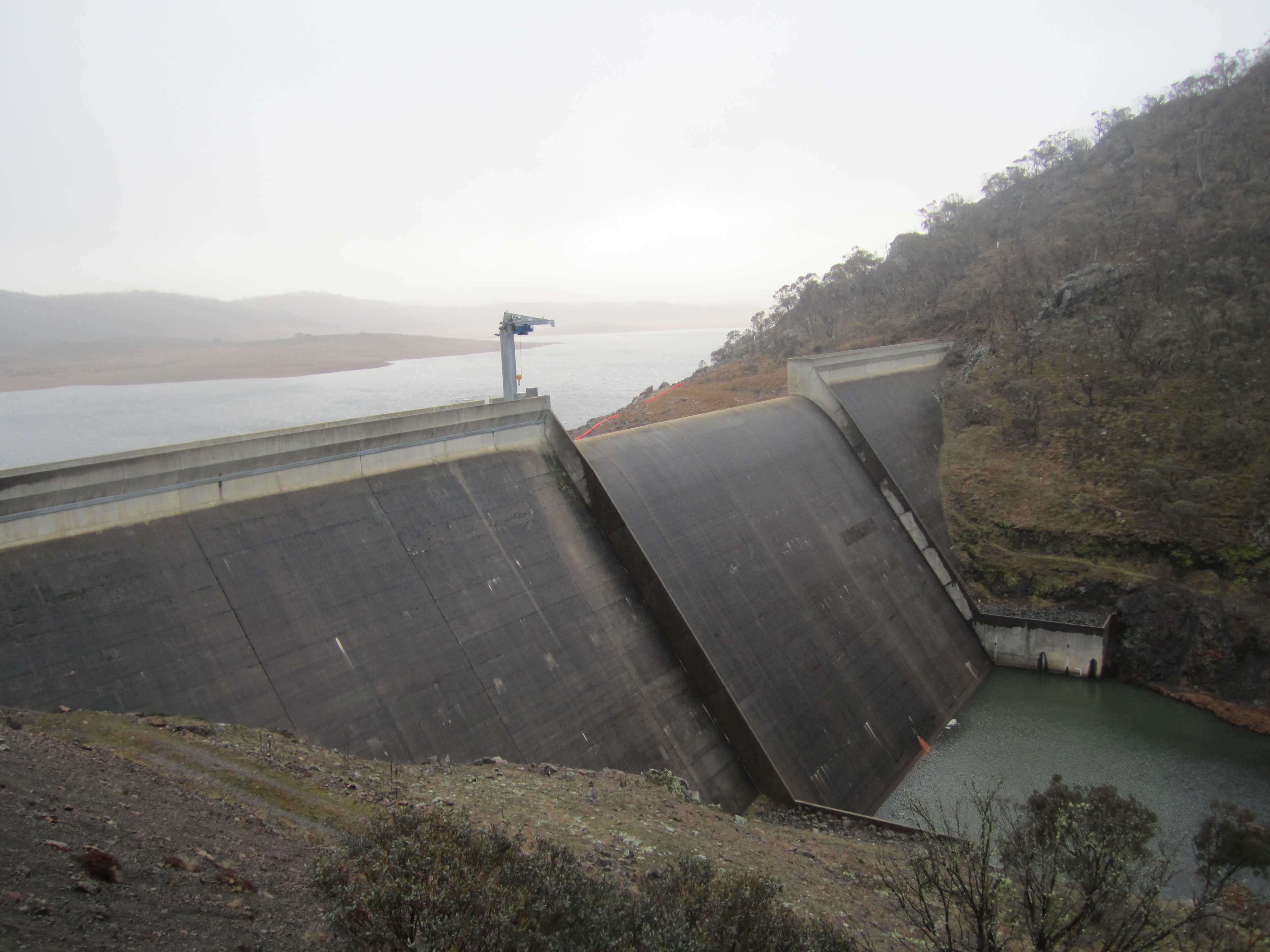
The reaches of the Murrumbidgee in the Australian Capital Territory (ACT) are now affected by the complete elimination of large spring snow melt flows and a reduction of average annual flows of almost 50%, due to Tantangara Dam. Tantangara Dam was completed in 1960 on the headwaters of Murrumbidgee River and diverts approximately 99% of the river's flow at that point into Lake Eucumbene.[5] This had extremely serious effects on native fish populations and other native aquatic life and has led to serious habitat loss. It is said that the Murrumbidgee River through the ACT is only half the river it used to be.[weasel words][6]
The mainstream of the river system flows for 900 km (559 mi).[7] The river's headwaters arise from the wet heath and bog at the foot of Peppercorn Hill situated along Long Plain which is within the Fiery Range of the Snowy Mountains; and about 50 kilometres north of Kiandra. From its headwaters it flows to its confluence with the Murray River. The river flows for 66 km (41 mi) through the Australian Capital Territory near Canberra,[8] picking up the important tributaries of the Molonglo and Cotter Rivers. The Murrumbidgee drains much of southern New South Wales and all of the Australian Capital Territory, and is an important source of irrigation water for the Riverina farming area.
The river system's current channels are relatively new with the Upper Murrumbidgee being an anabranch of the Tumut River (that once continued north along Mutta Mutta Creek) when geological uplift near Adaminaby diverted its flow. The contemporary Murrumbidgee starts at Gundagai but generally the stream that now includes the Upper Murrumbidgee is described as being part of the full river.[9]
In June 2008 the Murray-Darling Basin Commission released a report on the condition of the Murray-Darling basin, with the Goulburn and Murrumbidgee Rivers rated in a very poor condition in the Murray-Darling basin with fish stocks in both rivers were also rated as extremely poor, with 13 of the 22 native fish species found in the Murrumbidgee River.[10]
Exploration
The Murrumbidgee River was known to Europeans before it was actually discovered by them. In 1820 the explorer Charles Throsby informed the Governor of New South Wales that he anticipated finding "a considerable river of salt water (except at very wet seasons), called by the natives Mur-rum-big-gee". In the expedition journal, Throsby wrote as a marginal note: "This river or stream is called by the natives Yeal-am-bid-gie ...".[11] The river he had stumbled upon was in fact the Molonglo River, Throsby reached the actual river in April 1821.[12]
In 1823, Brigade-Major John Ovens and Captain Mark Currie reached the upper Murrumbidgee when exploring south of Lake George.[13] In 1829, Charles Sturt and his party rowed and sailed down the length of the river from Narrandera to the Murray, and then down the Murray to the sea. They also rowed, sailing when possible, back up against the current.[14] The Murrumbidgee basin was opened to settlement in the 1830s and soon became an important farming area.
Ernest Favenc, when writing on Australian exploration, commented on the relatively tardy European discovery of the river and that the river retained a name used by Indigenous Australians:
Here we may remark on the tenacity with which the Murrumbidgee River long eluded the eye of the white man. It is scarcely probable that Meehan and Hume, who on this occasion were within comparatively easy reach of the head waters, could have seen a new inland river at that time without mentioning the fact, but there is no record traceable anywhere as to the date of its discovery, or the name of its finder. When in 1823 Captain Currie and Major Ovens were led along its bank on to the beautiful Maneroo country by Joseph Wild, the stream was then familiar to the early settlers and called the Morumbidgee. Even in 1821, when Hume found the Yass Plains, almost on its bank, he makes no special mention of the river. From all this we may deduce the extremely probable fact that the position of the river was shown to some stockrider by a native, who also confided the aboriginal name, and so it gradually worked the knowledge of its identity into general belief. This theory is the more feasible as the river has retained its native name. If a white man of any known position had made the discovery, it would at once have received the name of some person holding official sway.[15]
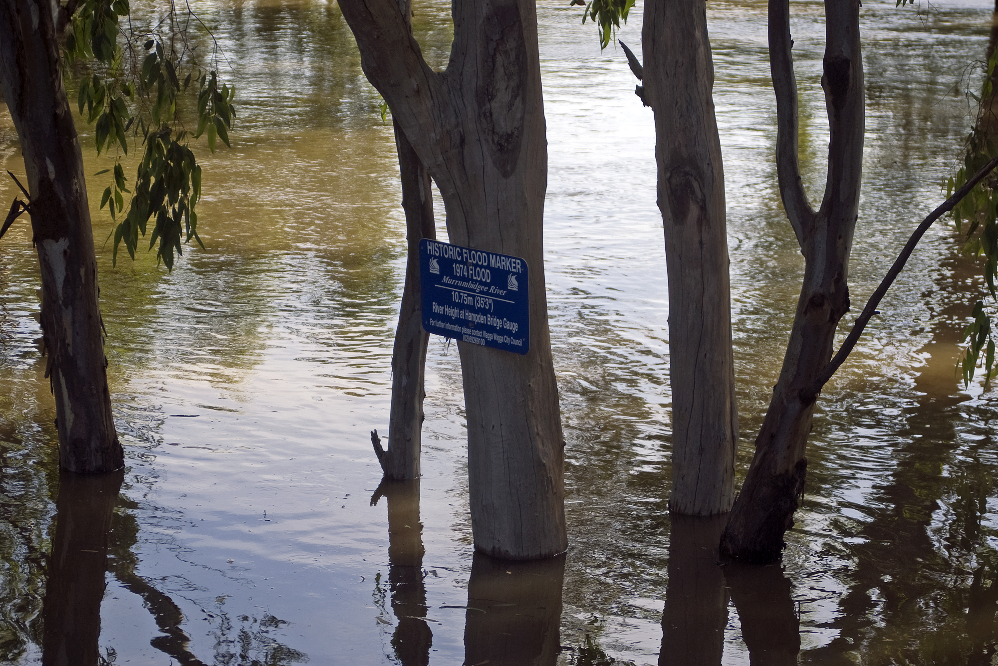
Floods
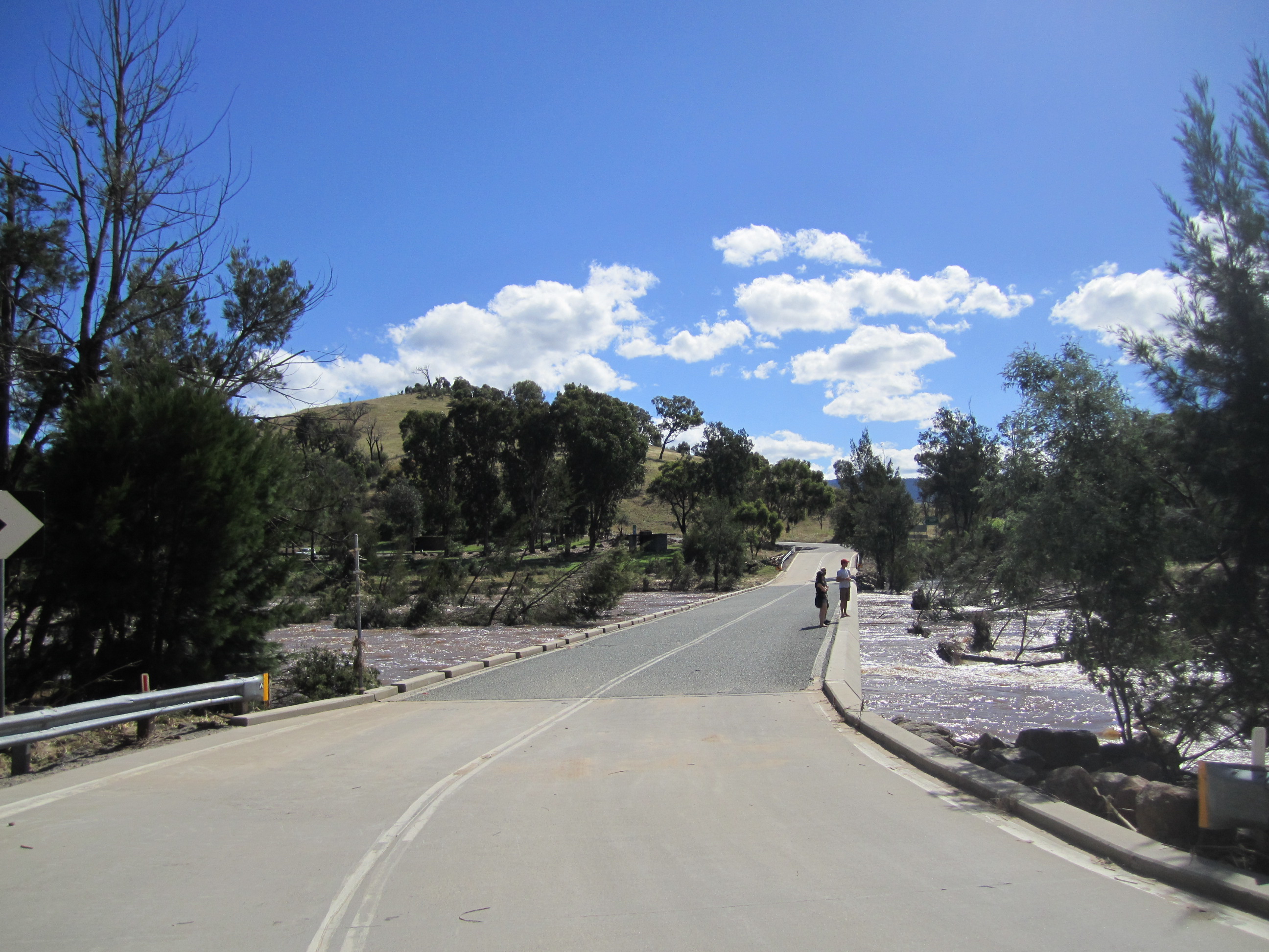
 Murrumbidgee River in major flood in December 2010 and flood marker showing the height of the 1974 floods in Wagga Wagga
The river has risen above 7 metres (23 ft) at Gundagai nine times between 1852 and 2010, an average of just under once every eleven years. Since 1925, flooding has been minor with the exception of floods in 1974 and in December 2010, when the river rose to 10.2 metres (33 ft) at Gundagai.[16] In the 1852 disaster, the river rose to just over 12.2 m (40 ft). The following year the river again rose to just over 12.5 m (41 ft). The construction of Burrinjuck Dam from 1907 has significantly reduced flooding but, despite the dam, there were major floods in 1925 and 1974.[17]
The most notable flood was in 1852 when the town of Gundagai was swept away and 89 people, a third of the town's population, were killed. The town was rebuilt on higher ground.[18]
In 1925, four people died and the flooding lasted for eight days.[19]
The reduction in floods has consequences for wildlife, birds and trees. There has been a decline in bird populations and black box flood plain eucalypt forest trees are starting to lose their crowns.[20]
Wetlands
Major wetlands along the Murrumbidgee or associated with the Murrumbidgee catchment include:[21]
- Lowbidgee Floodplain, 2,000 square kilometres (772 sq mi) between Maude and Balranald
- Mid-Murrumbidgee Wetlands along the river from Narrandera to Carathool
- Fivebough and Tuckerbil Swamps
- Tomneys Plain
- Micalong Swamp
- Lake George
- Yaouk Swamp
- Black Swamp & Coopers Swamp
- Big Badja Swamp
Major tributaries
- Gudgenby River
- Naas River (Naas flows into Gudgenby before Murrumbidgee despite what appears on the 1:100000 topographic map)
- Molonglo River
- Cotter River
- Tumut River
- Yass River
- Lachlan River
Population centres

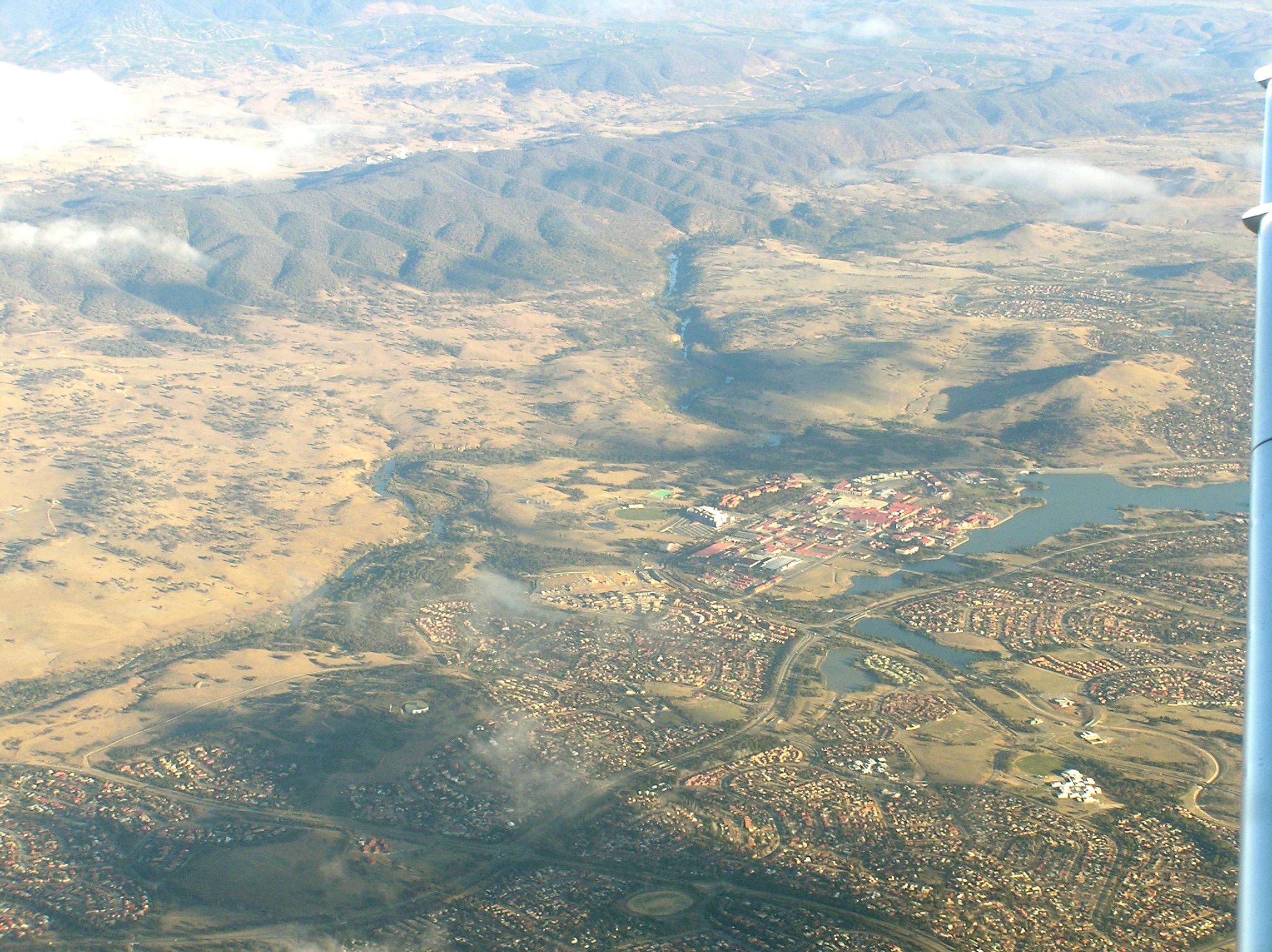
 Aerial photo of Tuggeranong Town Centre, with Murrumbidgee River behind, Bullen Range is behind and Tidbinbilla Tracking Station is visible too.
- Tharwa
- Canberra particularly Tuggeranong
- Jugiong
- Gundagai
- Wantabadgery
- Wagga Wagga
- Narrandera
- Yanco
- Leeton
- Darlington Point
- Hay
- Balranald
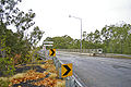
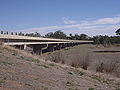
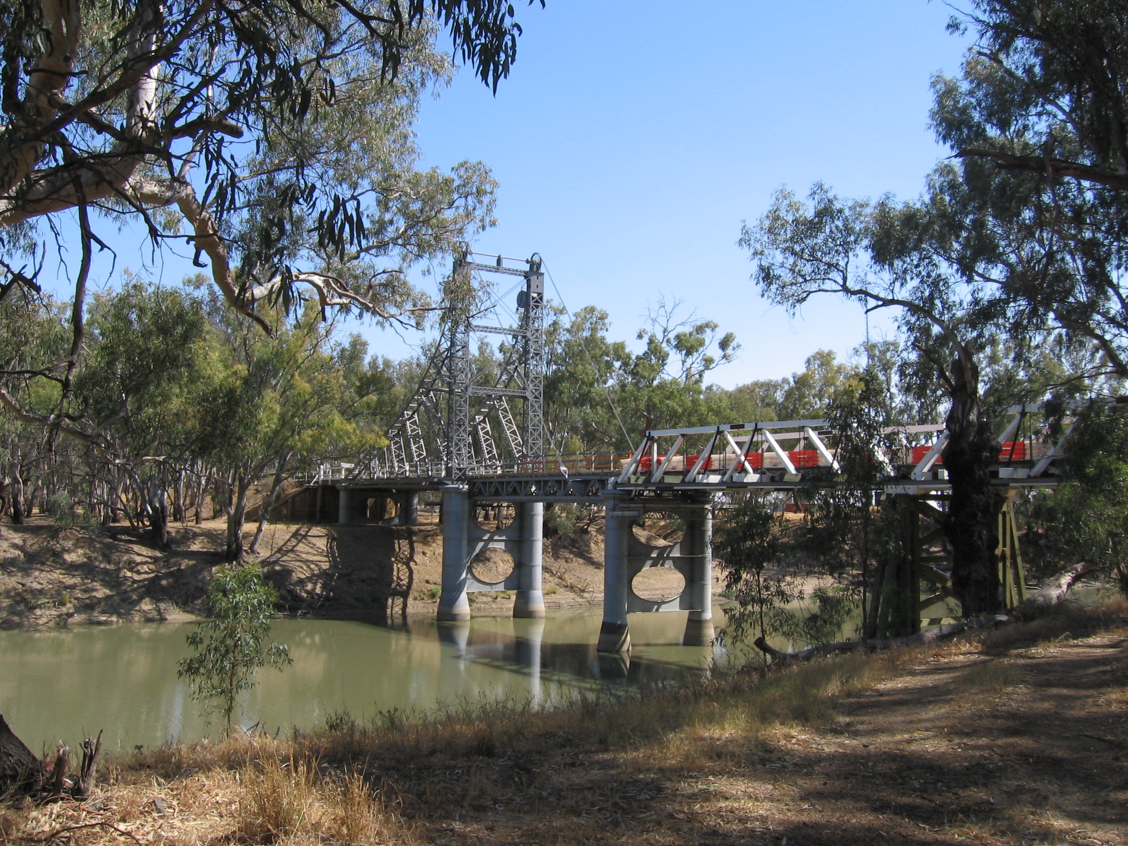
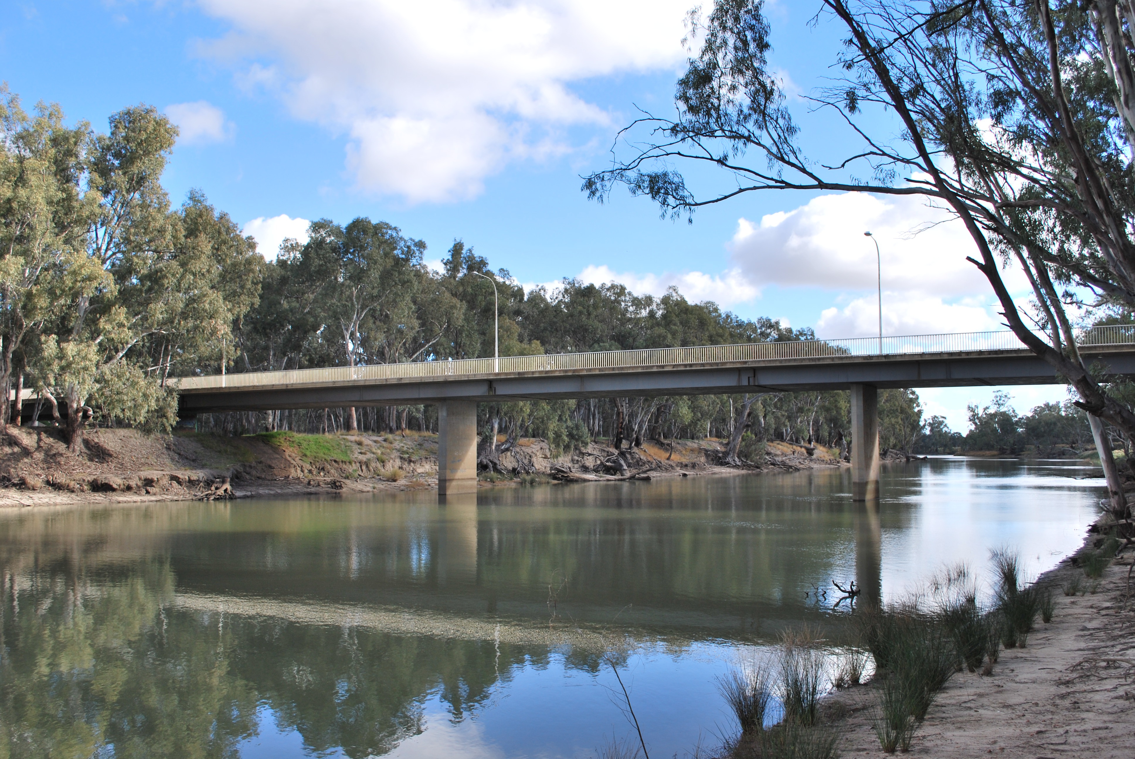
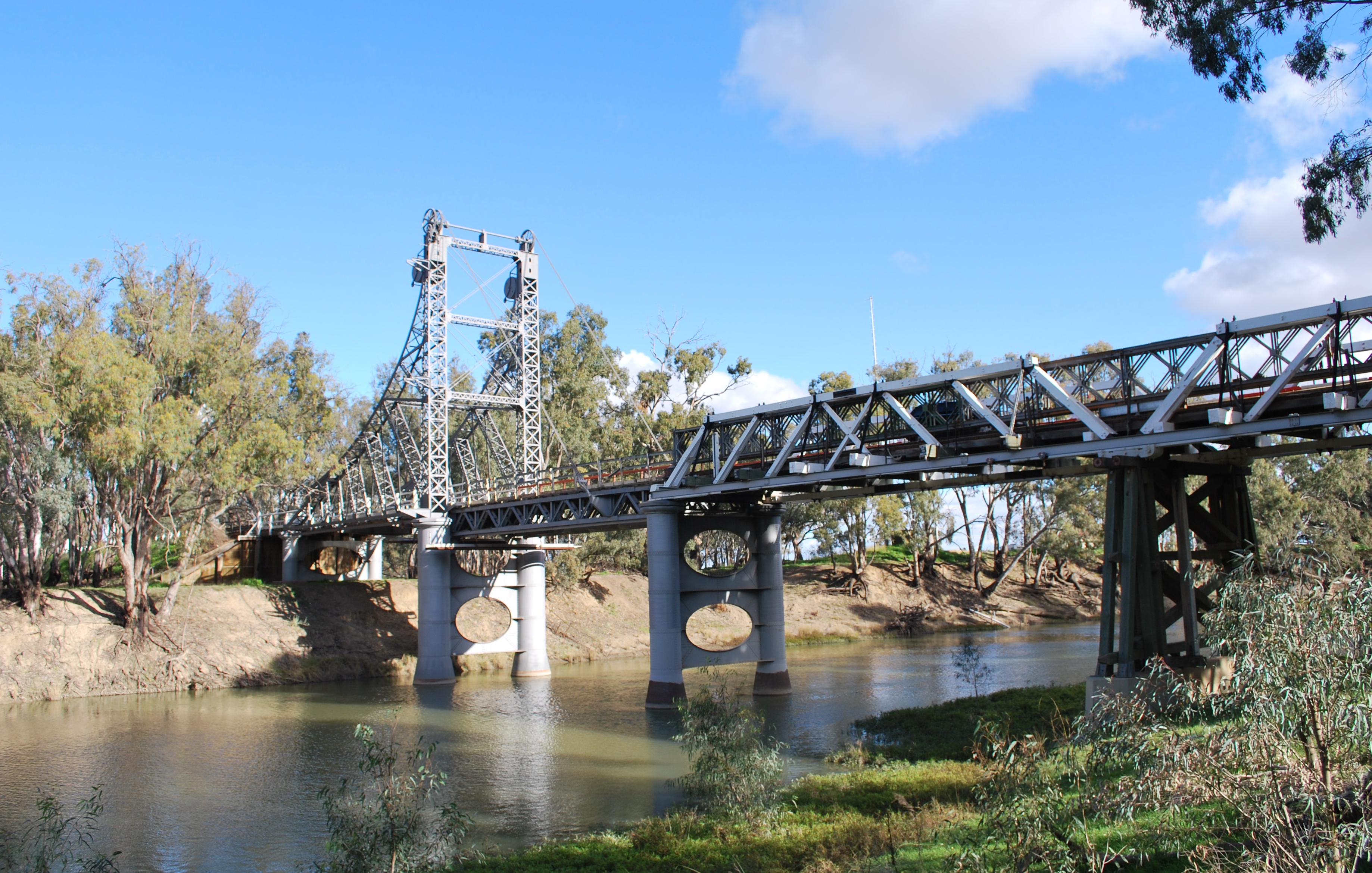
River crossings
The list below notes past and present bridges that cross over the Murrumbidgee River. There were numerous other crossings before the bridges were constructed and many of these still exist today.
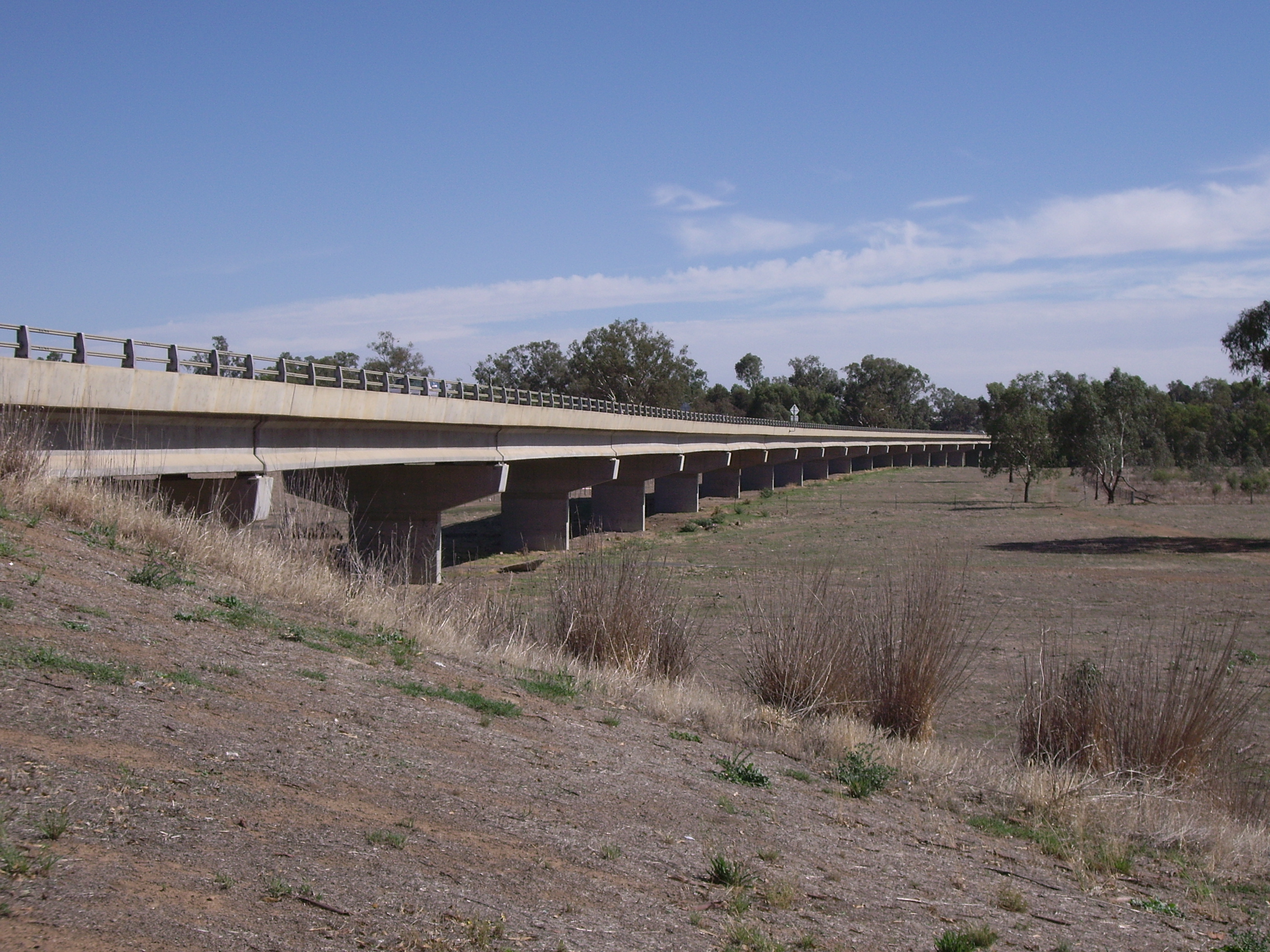
Downstream from Wagga Wagga
Crossing Image Coordinates Built Location Description Notes Balranald Bridge 1973 Balranald Sturt Highway Matthews Bridge Maude Hay Bridge 
1973 Hay Cobb Highway Carrathool Bridge 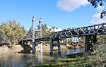
1924 Carrathool Darlington Point Bridge 
Darlington Point Kidman Way Euroley Bridge 2003 Yanco Narrandera Rail Bridge Narrandera Tocumwal railway line Narrandera Bridge 
Newell Highway Collingullie Bridge 
Collingullie Wagga Wagga to Burrinjuck
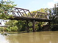
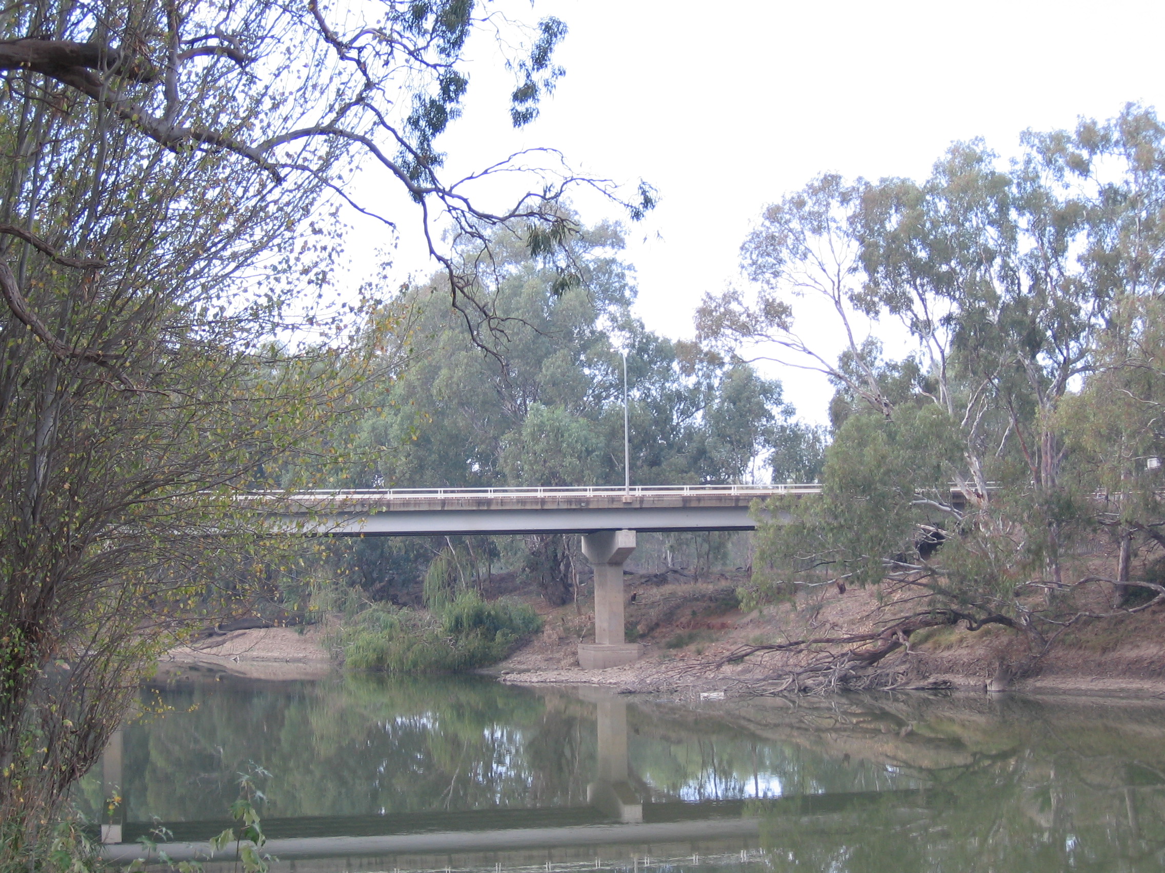
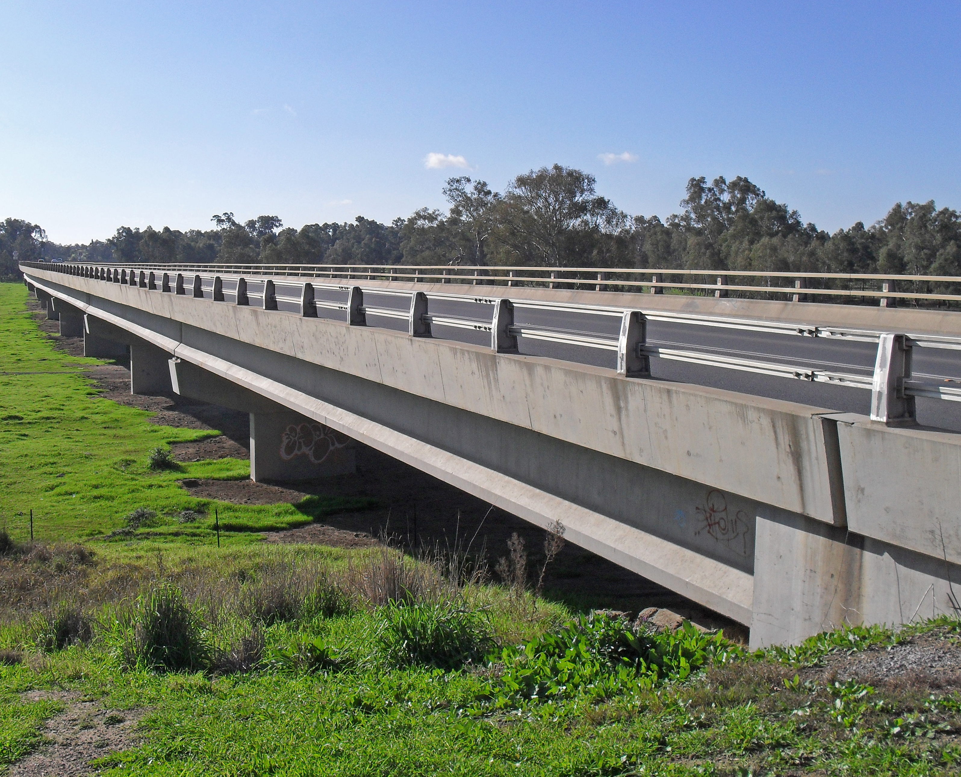
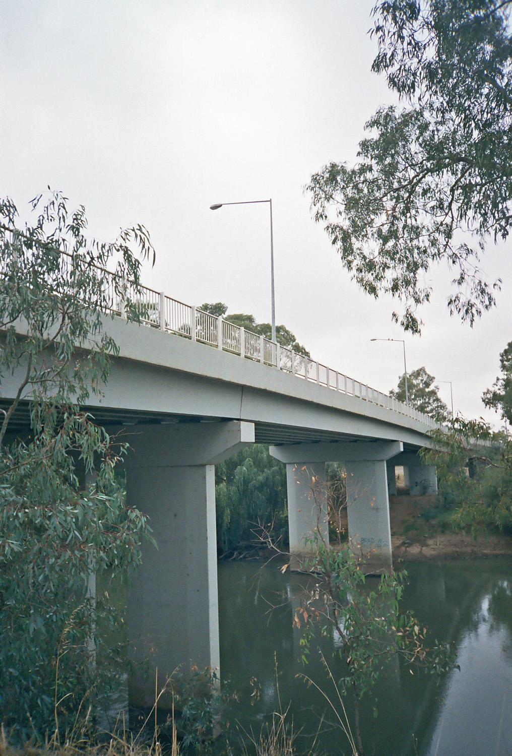
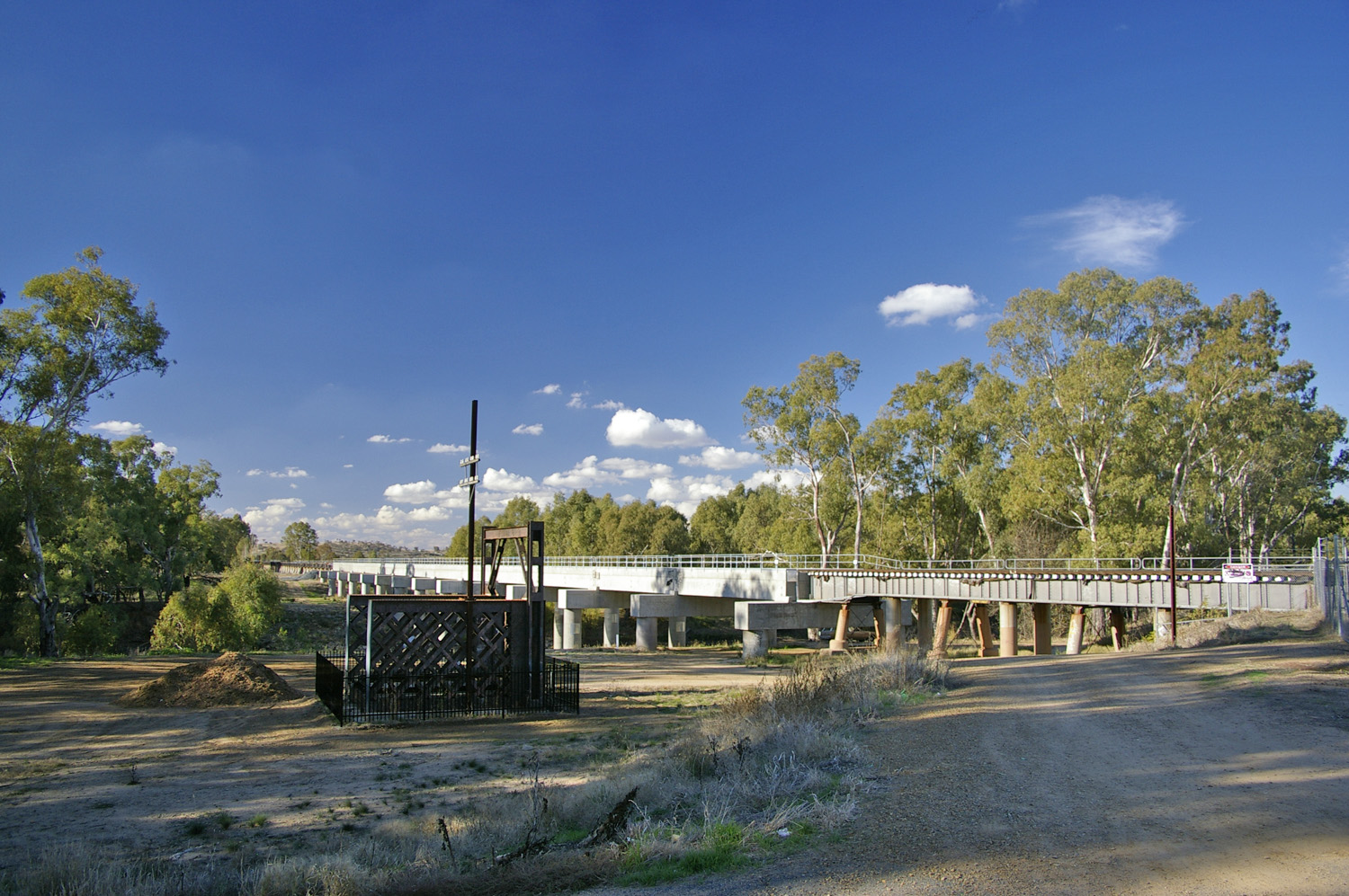
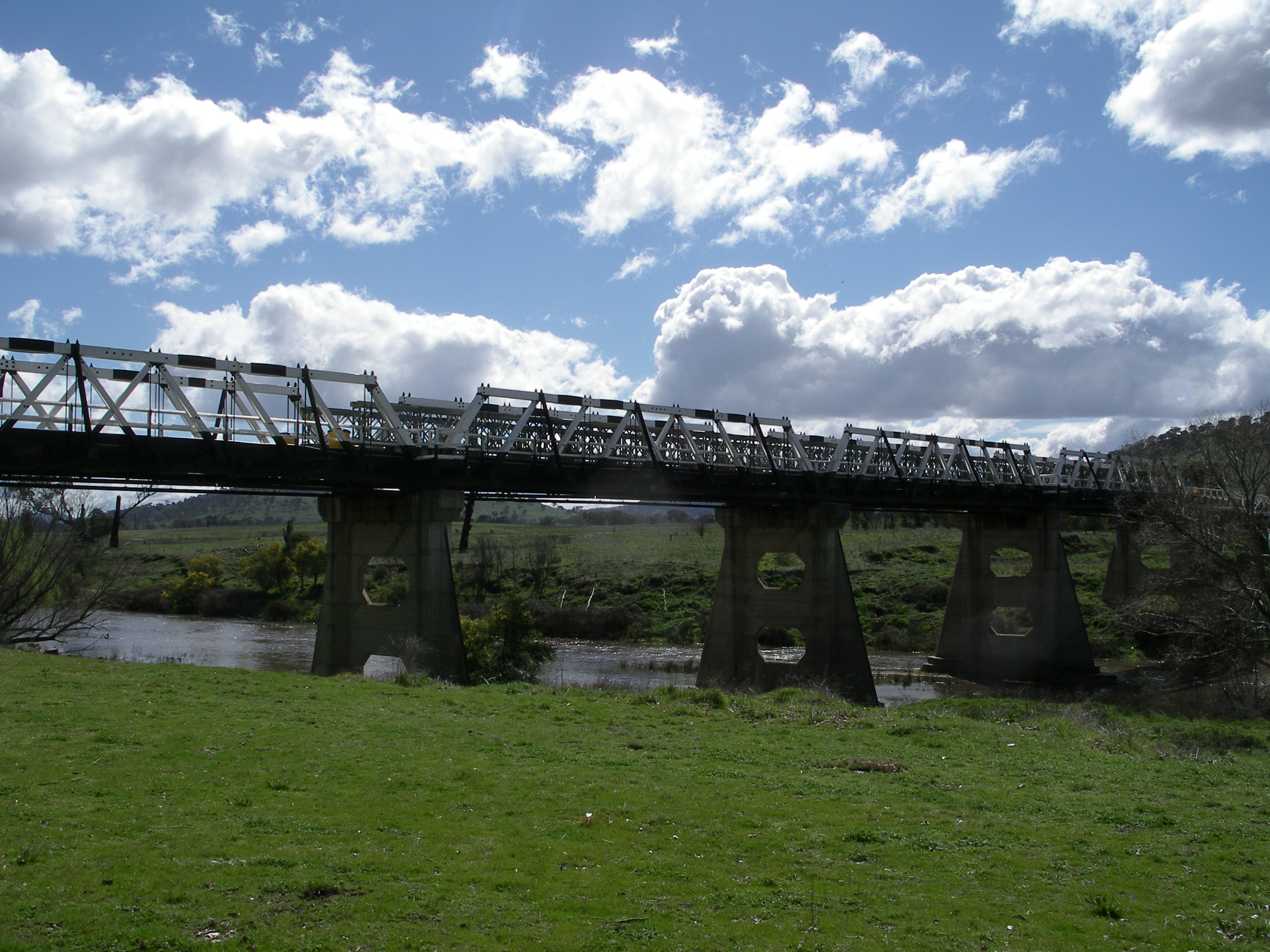
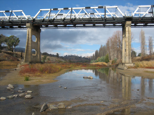
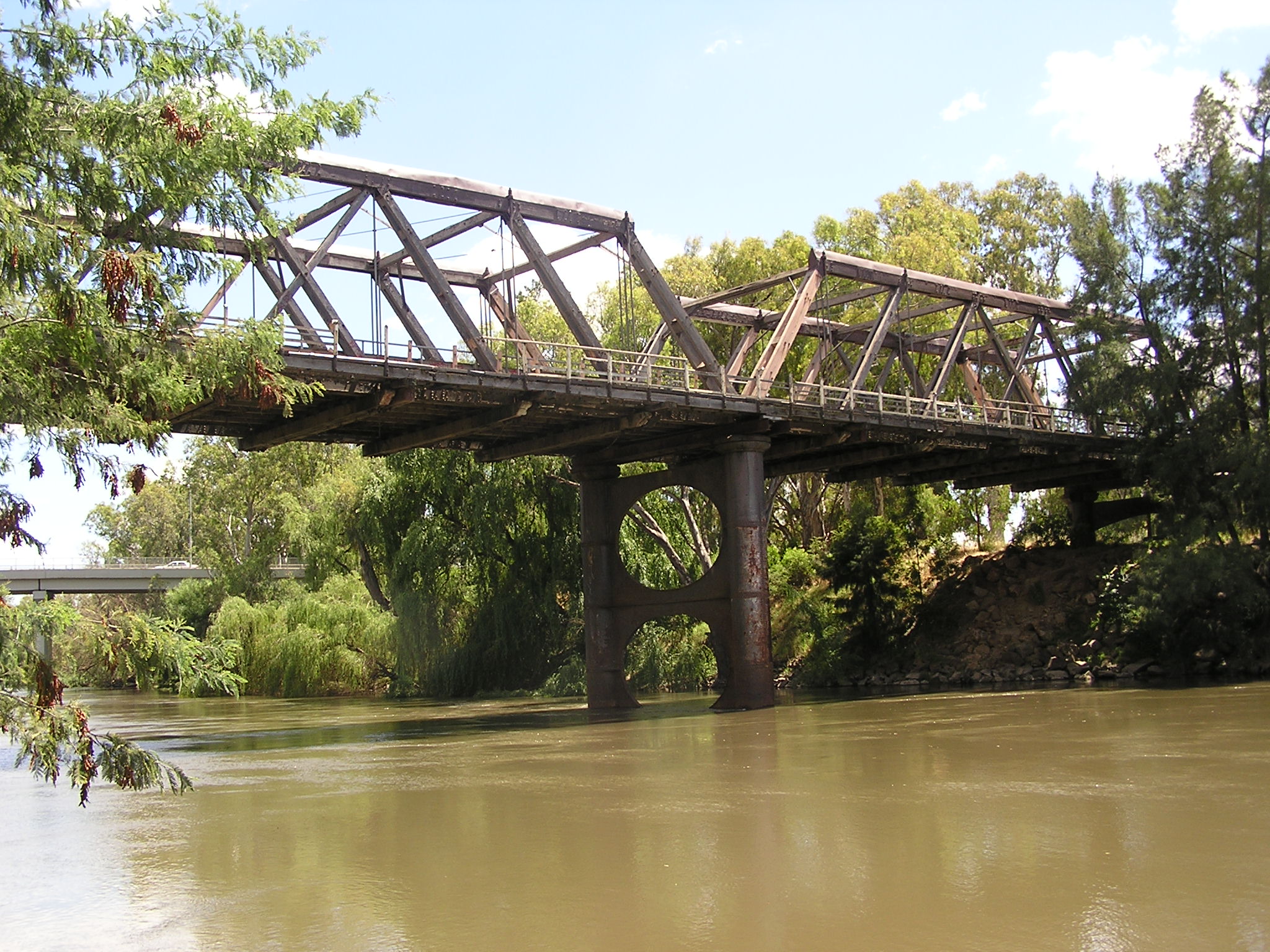
Crossing Image Coordinates Built Location Description Notes Gobbagombalin Bridge 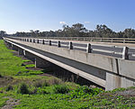
1997 Wagga Wagga Olympic Highway Wirajuri Bridge 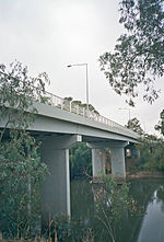
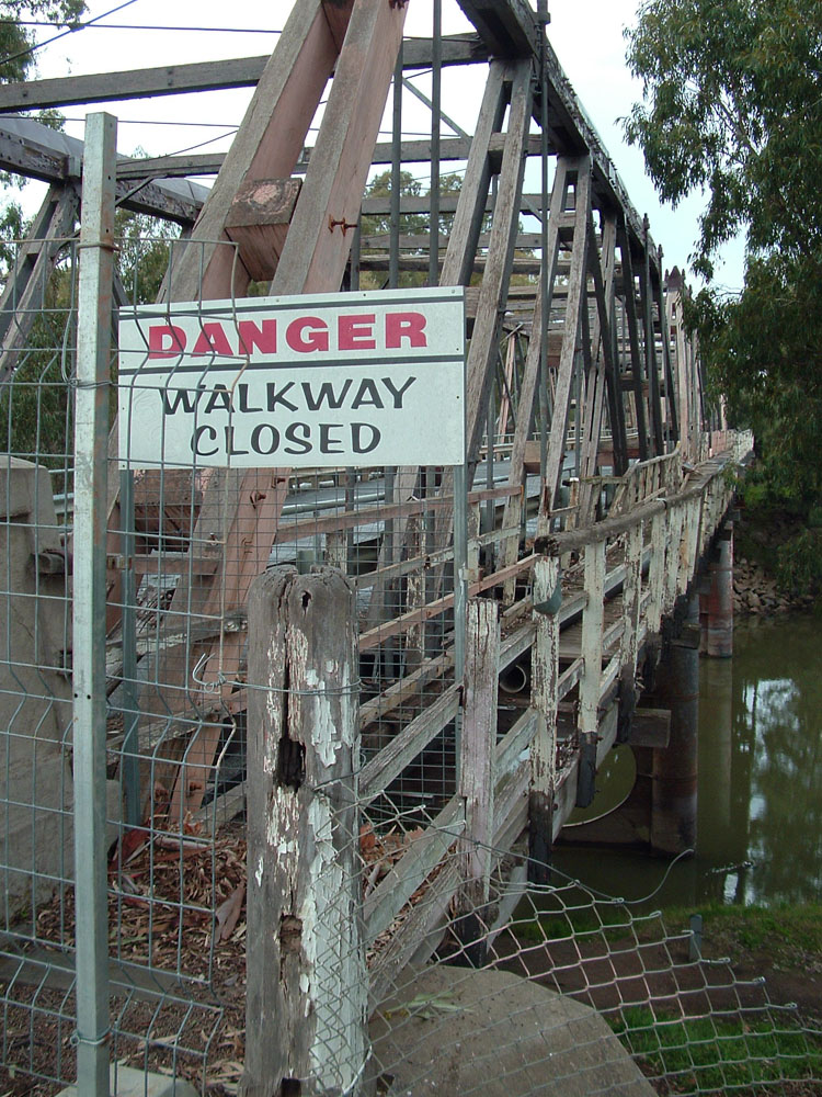
1995 Hampden Avenue, replaced the Hampden Bridge Hampden Bridge 
1895 disused Murrumbidgee River
Rail Bridge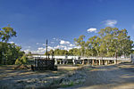
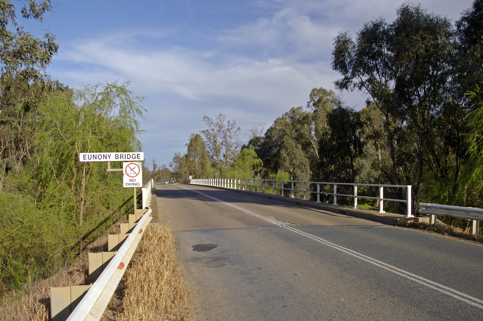
2006 Main Southern railway line. Replaced the previous bridge built in 1881 Eunony Bridge 
Eunony Bridge Road Low Bridge 
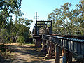
Mundarlo Sheahan Bridge 1977 Gundagai Hume Freeway Gundagai Rail Bridge 
1902 Tumut railway line, now disused Prince Alfred Bridge 
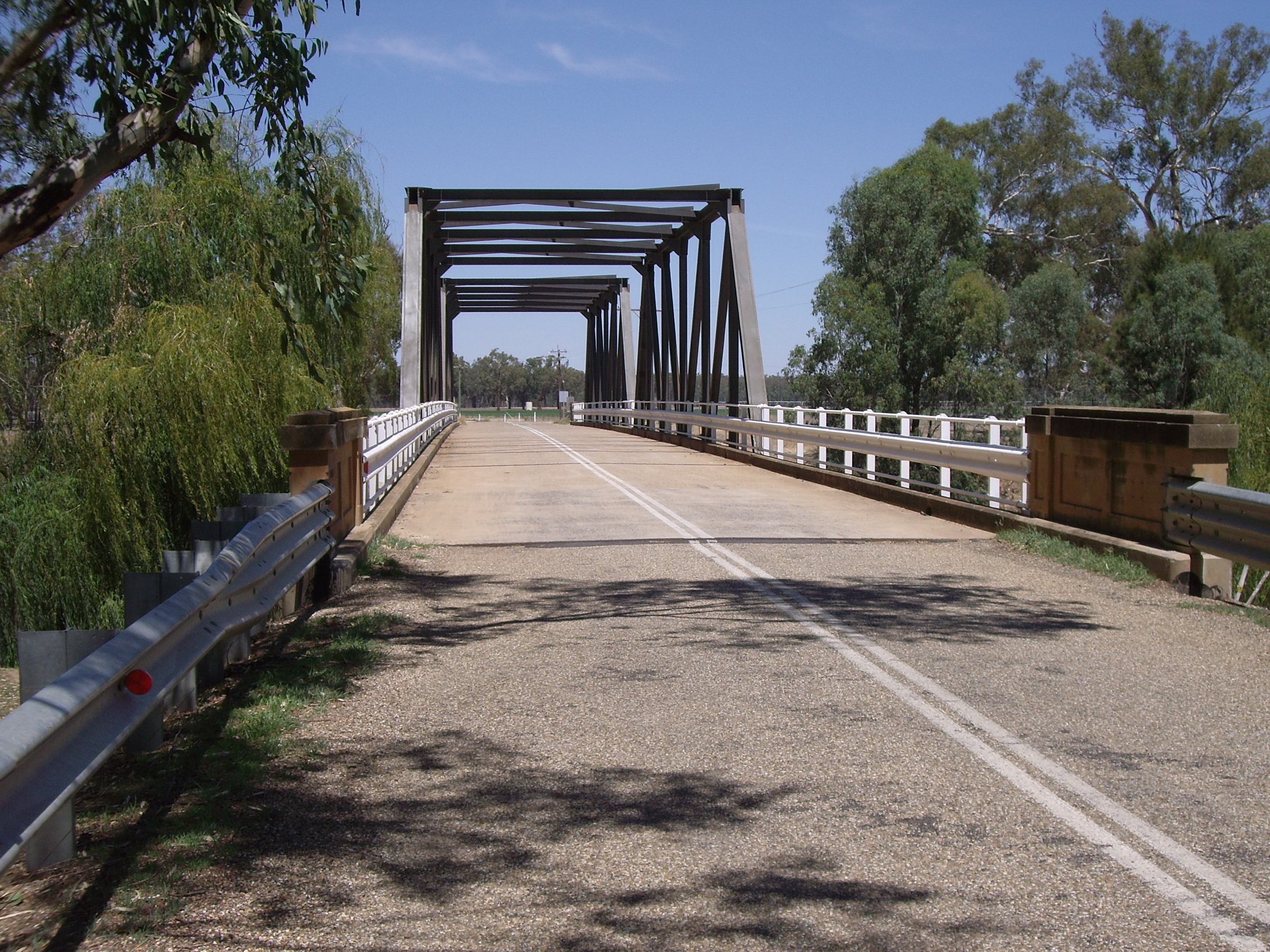
1867 Prince Alfred Road, former Hume Highway. Gobarralong Bridge Gobarralong Jugiong Bridge 
Jugiong Upstream from Burrinjuck
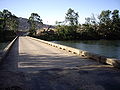
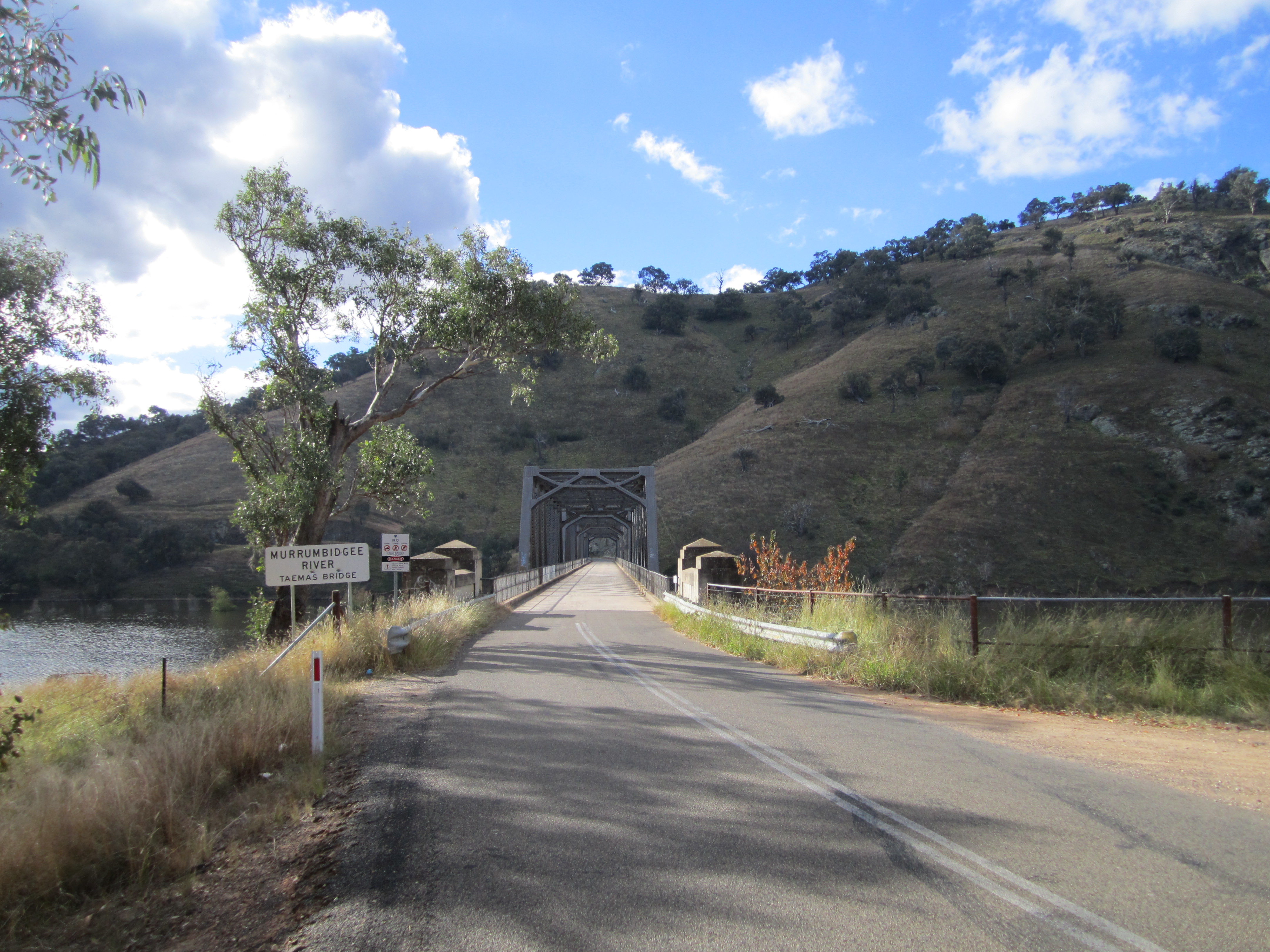
Crossing Image Coordinates Location Description Notes Taemas Bridge 
Wee Jasper 1930 Uriarra Crossing 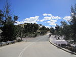
Uriarra Uriarra Road Cotter Road bridge 
Australian Capital Territory Cotter Road, near the confluence with the Cotter River Point Hut crossing 
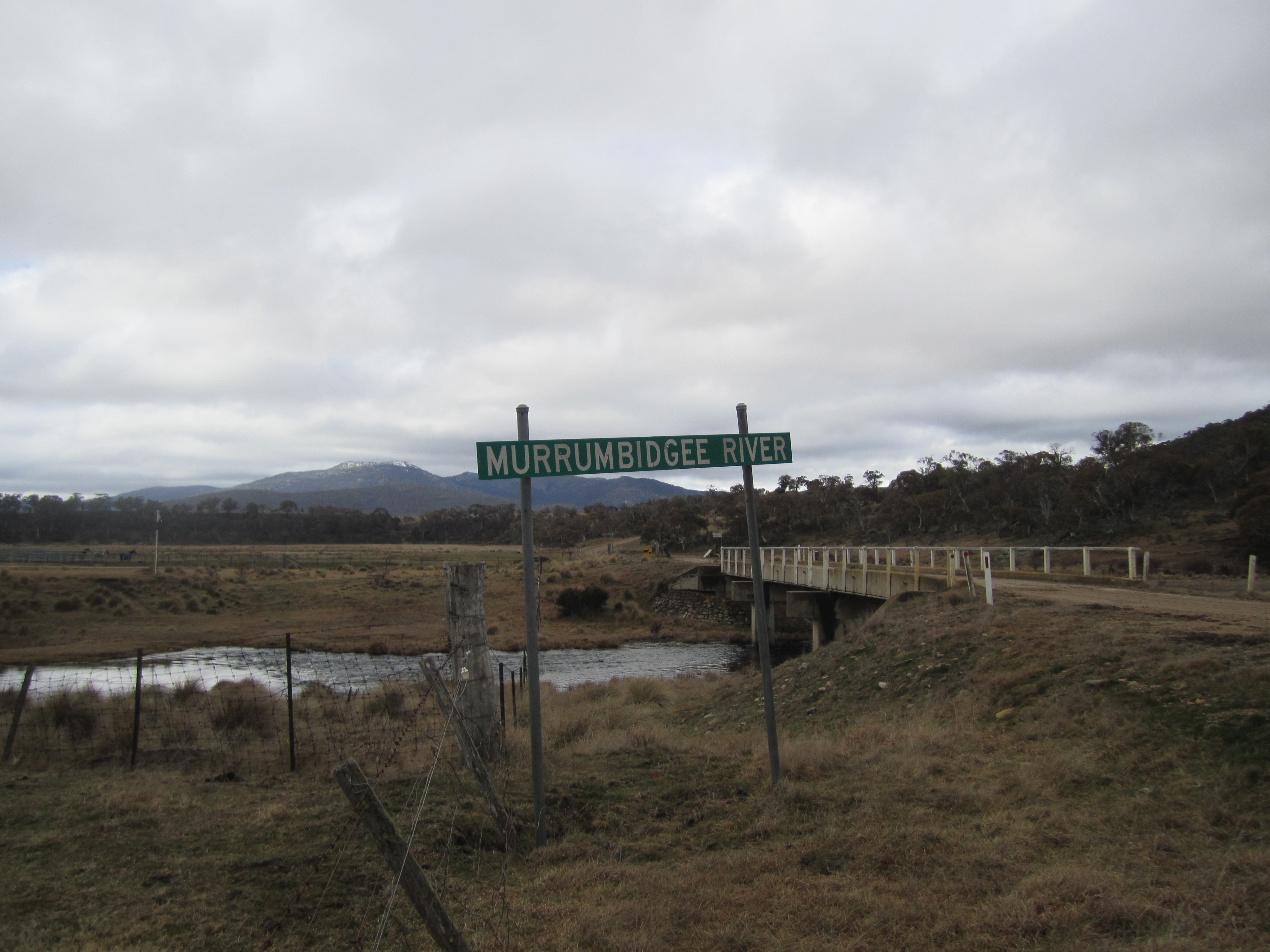
Gordon Point Hut Road Tharwa Bridge 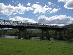
Tharwa 1895 Tharwa Drive, 4 span Allen truss bridge Angle Crossing 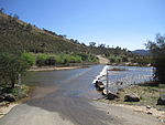
Williamsdale Angle Crossing Road, a ford Billilingra Bridge Billilingra Billilingra Road Binjura Bridge 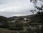
Binjura Mittagang-Shannons Flat Road Bolaro Bridge Bolaro Bolaro Road Yaouk Bridge 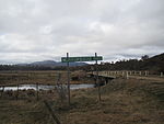
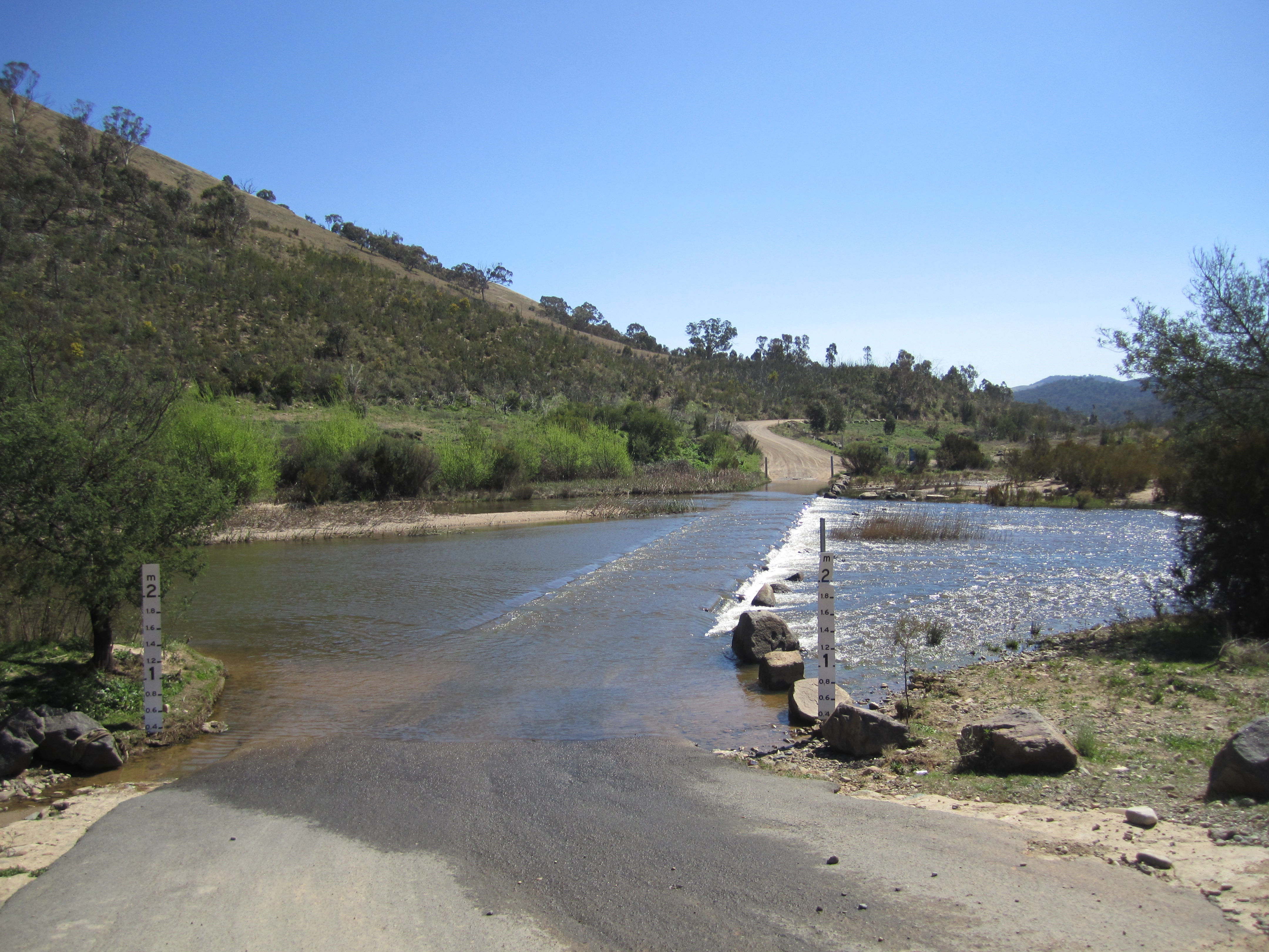
Yaouk Yaouk Road Tantangara Bridge Tantangara Tantangara Road, immediately downstream from the Tantangara Reservoir wall Images
-

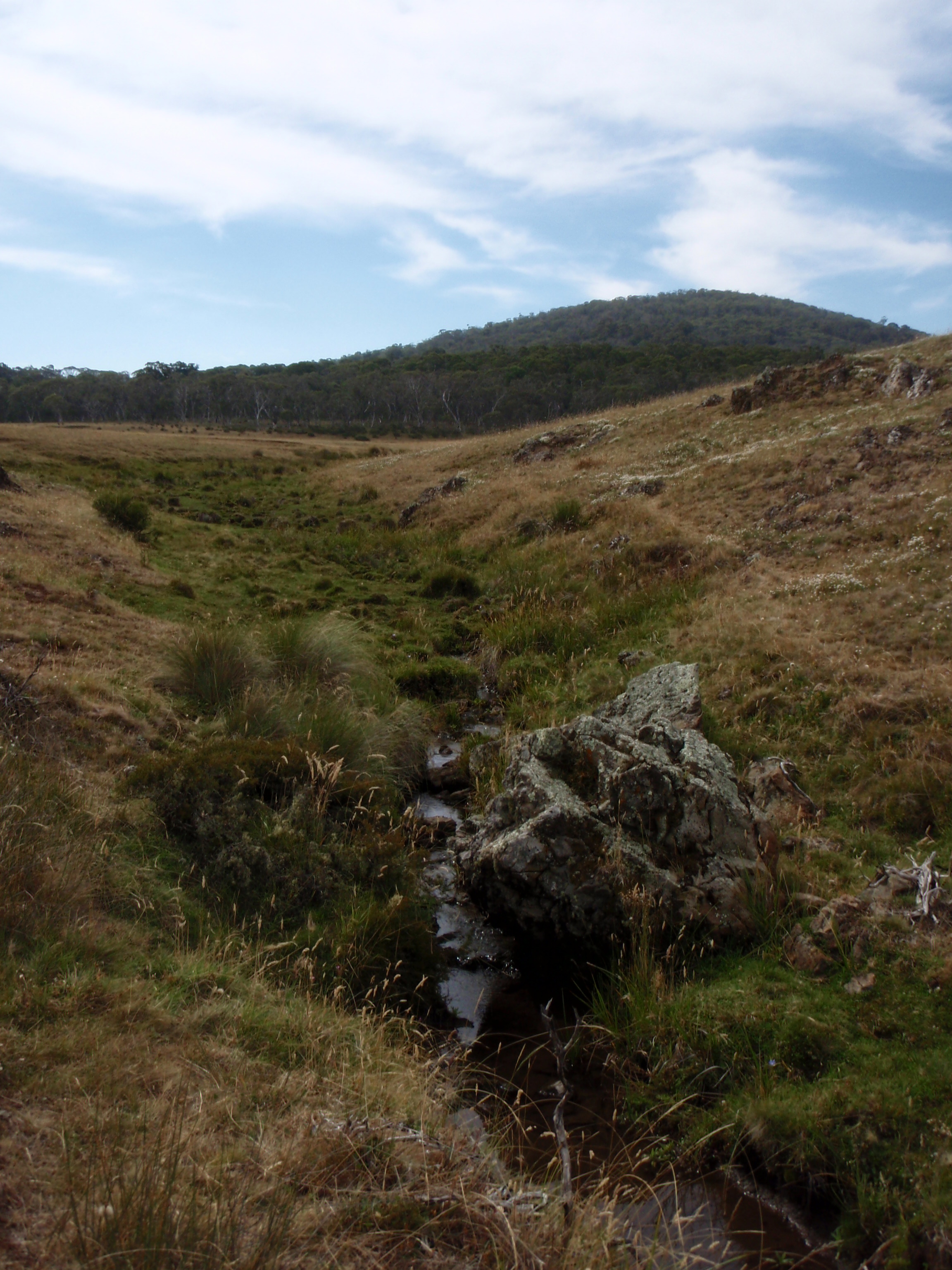
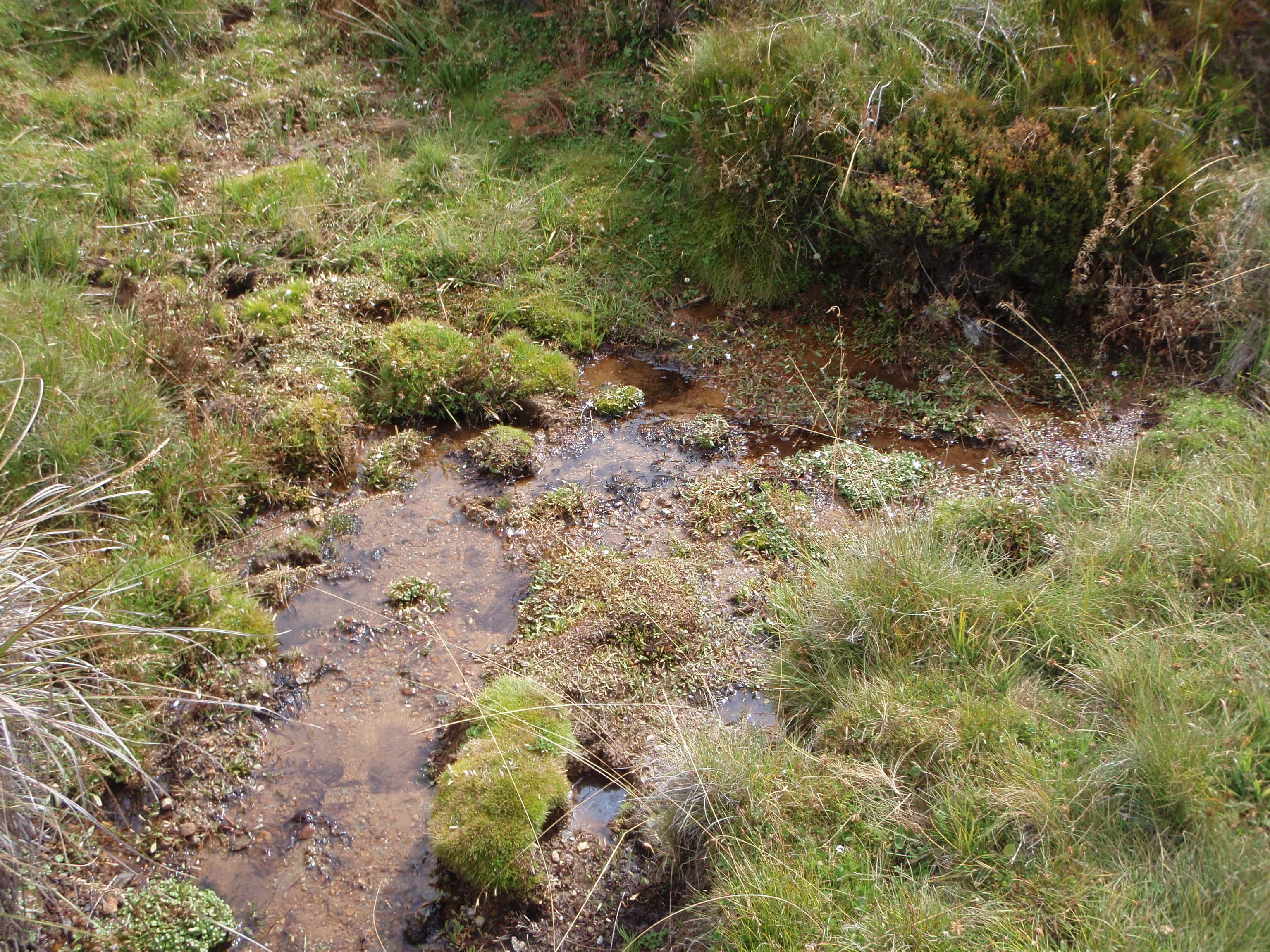
Second photo of source and area of Murrumbidgee
-
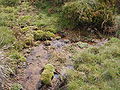
Water oozing from heath at source area of Murrumbidgee
-
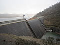
Tantangara Dam
-
Yaouk Bridge
-

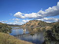
Murrumbidgee at Bolaro
-

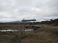
Tharwa Bridge looking south; Tharwa, ACT is to the right
-

Point Hut Crossing, ACT, looking south
-
Junction with Cotter, in moderate flood
-

Uriarra Crossing, ACT, in moderate flood
-

Approach to Taemas Bridge
-
Taemas Bridge, from north
-

Jugiong Bridge
-

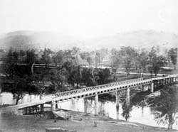
The Prince Alfred bridge crosses the Murrumbidgee River at Gundagai, photographed c. 1885
-
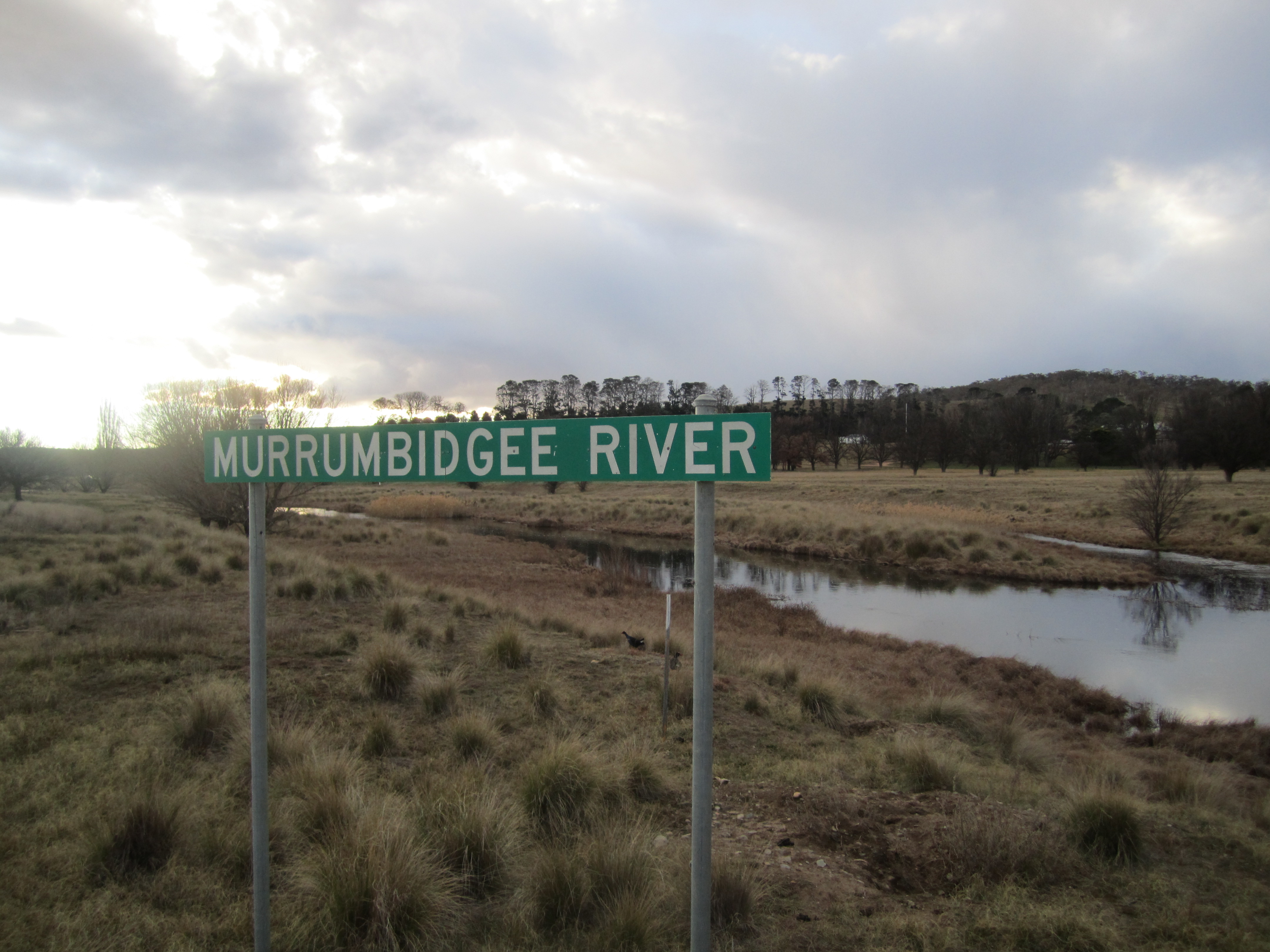
The Murrumbidgee at Gundagai
-
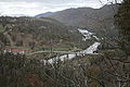
Murrumbidgee River Crossing at Mundarlo
-

Eunony Bridge viewed from Eunanoreenya looking towards Gumly Gumly
-
Former Wagga Wagga railway bridge
-

New concrete railway bridge at Wagga Wagga
-
Hampden Bridge at Wagga Wagga
-
Wiradjuri Bridge
-
Gobbagombalin (Gobba) Bridge
Distances along the river
- Gundagai to Wagga Wagga - 138 km (86 mi)
- Wagga Wagga to Yarragundy - 37 km (23 mi)
- Yarragundy to Yiorkibitto - 77 km (48 mi)
- Yiorkibitto to Grong Grong - 58 km (36 mi)
- Grong Grong to Narrandera - 21 km (13 mi)
- Narrandera to Yanco or Bedithera - 18 km (11 mi)
- Yanco to Yanco Station - 29 km (18 mi)
- Yanco to Gogeldrie - 21 km (13 mi)
- Gogeldrie to Tubbo - 24 km (15 mi)
- Tubbo to Cararburry - 55 km (34 mi)
- Cararbury to Currathool - 66 km (41 mi)
- Currathool to Burrabogie - 56 km (35 mi)
- Burrabogie to Illilliwa - 42 km (26 mi)
- Illilliwa to Hay - 22 km (14 mi)
- Hay to Toogambie - 63 km (39 mi)
- Toogambie to Maude - 40 km (25 mi)
- Maude to Lachlan Junction - 71 km (44 mi)
- Lachlan Junction to Balranald - 137 km (85 mi)
- Balranald to Canally - 42 km (26 mi)
- Canally to Weimby, Murray Junction - 61 km (38 mi)
- Total distance from Gundagai to Murrumbidgee Junction - 1,078 km (670 mi)[22]
References
- ^ Macquarie ABC Dictionary. The Macquarie Library Pty Ltd. 2003. p. 647. ISBN 0 876429 37 2.
- ^ Macquarie ABC Dictionary. The Macquarie Library Pty Ltd. 2003. p. 853. ISBN 0 876429 37 2.
- ^ "Geographical Names Register Extract: Murrumbidgee River". Geographical Names Register (GNR) of NSW. Geographical Names Board of New South Wales. http://www.gnb.nsw.gov.au/name_search/extract?id=ujjLjzxOIt. Retrieved 2008-06-08.
- ^ Room, Adrian (2003). Placenames of the World. McFarland. p. 246. ISBN 0786418141. http://books.google.com.au/books?id=PzIer-wYbnQC&pg=PA246&dq=.
- ^ Lintermans, Mark. "The re-establishment of endangered Macquarie perch Macquaria australasica in the Queanbeyan River,New South Wales,with an examination of dietary overlap with alien trout" (pdf). Environment ACT and Cooperative Research Centre for Freshwater Ecology. http://freshwater.canberra.edu.au/publications.nsf/f8748e6acfab1b7fca256f1e001536e1/9ffa733471131b0aca25725f00244a04/$FILE/Macq%20Perch%20reintrod%20Qbyn%20R%20-%20Web%202006.pdf. Retrieved 2008-06-08.
- ^ Lintermans, M. (2000) The Status of Fish in the Australian Capital Territory : A Review of Current Knowledge and Management Requirements. Technical Report No. 15. Environment ACT, Canberra
- ^ "Murrumbidgee River Catchment". Catchment Case Studies. NSW Department of Environment and Conservation. 1995. Archived from the original on 2006-04-19. http://web.archive.org/web/20060419004701/http://www.environment.nsw.gov.au/soe/95/9_4.htm. Retrieved 2006-07-13.
- ^ "Interim recreation study for the natural areas of the ACT" (PDF). ACT Government. April 2004. p. 23. Archived from the original on 2008-07-26. http://web.archive.org/web/20080726144013/http://www.tams.act.gov.au/__data/assets/pdf_file/0010/13321/interimrecreationstrategy0804.pdf. Retrieved 2008-06-08.
- ^ Sharp, K.R. Cenzoic volcanism, tectonism, and stream derangement in the Snowy Mountains and northern Monaro of New South Wales, in Australian Journal of Earth Sciences(2004)51,67-83
- ^ "Sustainable Rivers Audit" (PDF). Murray-Darling Basin Commission. June 2008. pp. 14, 50. http://www.mdbc.gov.au/__data/page/2260/34373_MDBC_SRA_Report_Web.pdf. Retrieved 2008-06-21.
- ^ Official Year Book of the Commonwealth of Australia, 1931 (ABS cat. no. 1301.0)
- ^ Reed, A. W., Place-names of New South Wales: Their Origins and Meanings, (Reed: 1969).
- ^ Discovery of the Manaro
- ^ Sturt, Charles (2004) [1833] (txt). Two Expeditions into the Interior of Southern Australia. Project Gutenberg EBook. http://www.gutenberg.org/files/4330/4330.txt. Retrieved 2006-08-26.
- ^ Favenc, Ernest (2004) [1908]. "Chapter 4" (txt). The Explorers of Australia and their Life-work. Project Gutenberg EBook. http://www.gutenberg.org/files/10840/10840.txt. Retrieved 2006-08-26.
- ^ "Evacuation begins". The Daily Advertiser. 5 December 2010. http://www.dailyadvertiser.com.au/news/local/news/general/evacuation-begins/2016788.aspx. Retrieved 5 December 2010.
- ^ Butcher, Cliff (2002). "Chapter 9 Floods". Gundagai: A track winding back. Gundagai, NSW, Australia: A. C. Butcher. pp. 84–98. ISBN 0-9586200-0-8.
- ^ Historic emegencies in NSW, Emergency NSW database
- ^ Australian Government Emergency Management database
- ^ ABC television transcript: Report warns of damage to Murrumbidgee River from 2001 7:30 Report program
- ^ NSW Separtment of Natural Resources Murrumbidgee Region
- ^ Heaton, J.H.,1984, The Bedside Book of Colonial Doings, Published in 1879 as 'Australian Dictionary of Dates' containing the History of Australasia from 1542 to May, 1879, Angus & Robertson Publishers Sydney, pp.215-216
External links
Categories:- Murrumbidgee River
- Rivers of New South Wales
- Rivers of the Australian Capital Territory
- Riverina
- Australian Aboriginal placenames
- Tributaries of the Murray River
- Snowy Mountains Scheme
- Murray-Darling basin


Wikimedia Foundation. 2010.