- Municipality of Leichhardt
-
Municipality of Leichhardt
New South Wales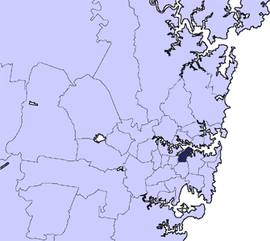
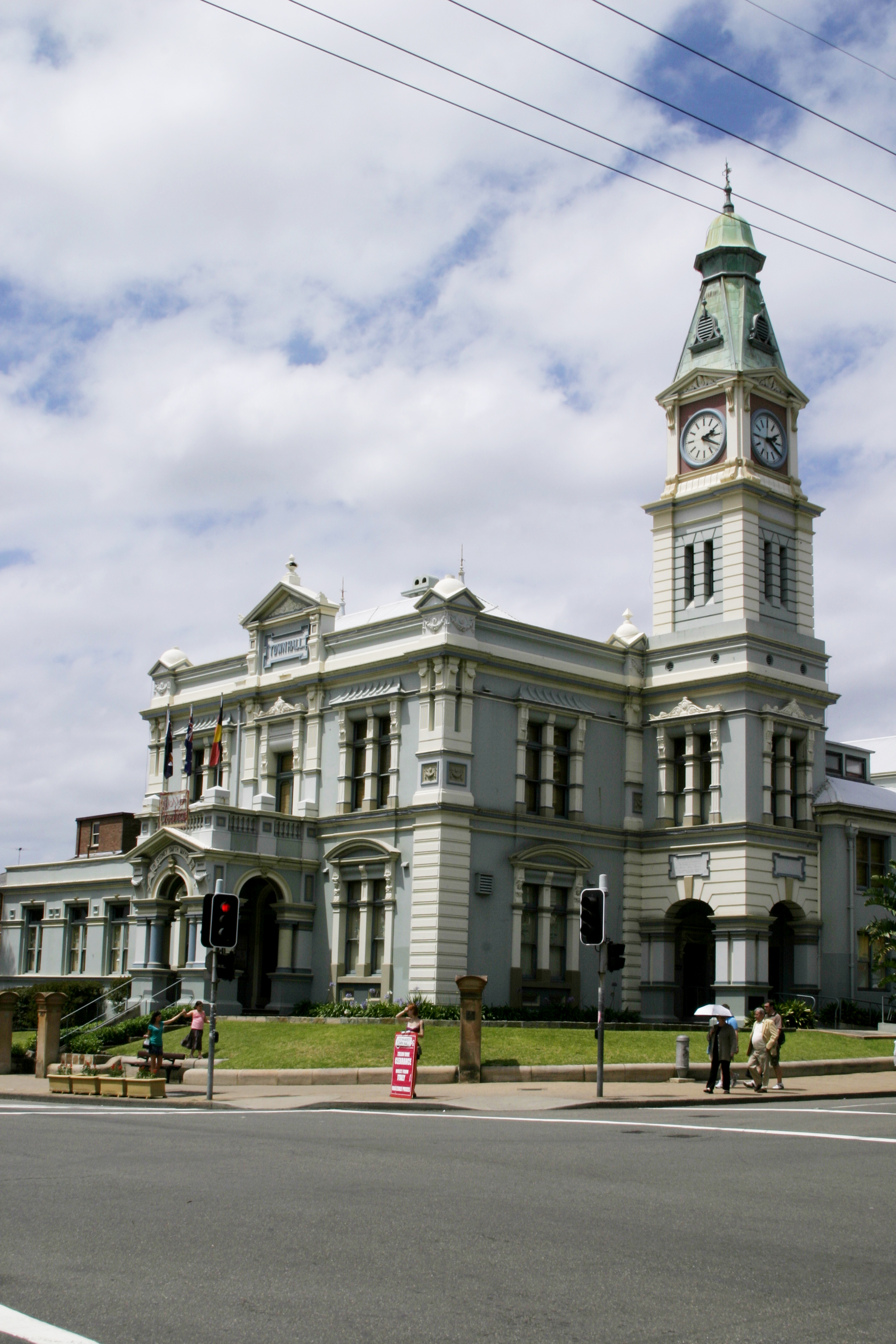
Population: 54,525(2009)[1] • Density: 4600/km² (11,913.9/sq mi) Area: 11 km² (4.2 sq mi) Mayor: Rochelle Porteous (Greens) Council Seat: Leichhardt Region: Metropolitan Sydney State District: Balmain Federal Division: Sydney, Grayndler LGAs around Municipality of Leichhardt: Municipality of Hunter's Hill City of Canada Bay Municipality of Leichhardt City of Sydney Municipality of Ashfield Marrickville Council City of Sydney  Leichhardt Town Hall
The Municipality of Leichhardt is a Local Government Area in the inner-west of Sydney, in state of New South Wales, Australia.
Contents
History
The Municipality of Leichhardt stands on land that traditionally belonged to the Gadigal and Wangal people, of the Eora nation. It has a long cultural heritage and a special beauty that comes from its Sydney Harbour location and its ‘old suburb’ origins.
Leichhardt is named after the Prussian explorer Ludwig Leichhardt, who in the 1840s was feted for his 4,800 km (c. 3000 mi) expedition in search of an overland route from southern Queensland to Port Essington, a British settlement on the far northern coast of Australia (some 300 km to the north of the modern city of Darwin). He later famously vanished without trace on his attempt to cross the continent from the Darling Downs to the Swan River Colony on the Western Australia coast.
Leichhardt was proclaimed a municipality in 1871. In 1893, the East Ward of the Municipality separated and became the Borough of Annandale [1]. In 1949, it was merged with the municipalities of Annandale and Balmain. In 1967, the municipal boundary was altered to include Glebe and parts of Camperdown. In 2003, the municipal boundary was again changed, to exclude Glebe and Forest Lodge, which are now part of the City of Sydney. Since the middle of the 20th century, Leichhardt has been a centre for Sydney's Italian community. Since the mid 1970s, Leichhardt has had a significant lesbian community, giving rise to its alternate name of Dyke-heart. Leichhardt is also home to the first non-government women's health centre to be established in Australia. On International Women's Day 1974 Leichhardt Women's Community Health Centre opened as a result of grass-roots lobbying from women in the community and Sydney's Women's Liberation Movement[2]. Initially funded through Federal Government funds, the centre is now funded mainly by the NSW Department of Health and continues to run multi-disciplinary health care clinics and health education from its base in Leichhardt and in outreach locations throughout Sydney's inner west.
Suburbs in the local government area
Suburbs in the Municipality of Leichhardt are:
- Annandale
- Balmain
- Balmain East
- Birchgrove
- Cockatoo Island
- Leichhardt
- Lilyfield
- Rozelle
Council
Leichhardt Municipal Council is composed of twelve councillors elected proportionally. The municipality is divided into four wards, each electing three councillors. The mayor is not directly elected.[3] The current makeup of the council is as follows:[3]
Party Councillors The Greens 6 Liberal Party of Australia 3 Australian Labor Party 2 Independent 1 Total 12 The current council, elected in 2008, is:[3]
Ward Councillor Party Notes Birrabirragal/Balmain Jamie Parker Greens Gordon Weiss Liberal John Stamolis Independent Eora/Leichhardt-Lilyfield Rochelle Porteous Greens Mayor Vera-Ann Hannaford Liberal Alan Cinis Greens Gadigal/Annandale-Leichhardt Daniel Kogoy Greens Cassi Plate Greens Lyndal Howison Labor Wangal/Rozelle-Lilyfield Michele McKenzie Greens Deputy Mayor Darcy Byrne Labor Tony Costantino Liberal Demographics
The following statistics were provided by the Australian Bureau Statistics [4] website.The population was 51,660 at 30 June 2006, the 55th largest Local Government Area in New South Wales. It was equal to 0.8% of the New South Wales population of 6,827,694.
There was an increase of 307 people over the year to 30 June 2006, the 55th largest population growth in a Local Government Area in New South Wales. It was equal to 0.5% of the 58,753 increase in the population of New South Wales.In percentage terms, there was an increase of 0.6% in the number of people over the year to 30 June 2006, the 88th fastest growth in population of a Local Government Area in New South Wales. In New South Wales the population grew by 0.9%
There was an increase in population over the 10 years to 30 June 2006 of 4,178 people or 8.8% (0.8% in annual average terms), the 46th highest rate of a Local Government Area in New South Wales. In New South Wales the population grew by 622,966 or 10% (1.0% in annual average terms) over the same period.
The population has a high average income and a high proportion of professionals and managers. Almost 90% of dwellings have one car or more. Over 50% of residents travel to work by car and 25% travel by bus. Compared with the rest of Sydney, they are high users of buses and low users of cars for travelling to work.
Leichhardt residents as a whole do not significantly move in and out of the area any more than residents from other councils. However, the 25-39 age group is significantly more mobile, with more than 50% moving in and out of the area over a five year period. The NSW State Government projects a low growth rate with a population of 59,800 by 2031 (Australian Bureau of Statistic, 2009). The population profile may gain a stronger balance of young and older people if more of the 25-39 family age group have children and stay in the area. Less rental accommodation, more owner purchasers, high enrolments in childcare and schools, and new higher birth rates already signal a trend to a more balanced profile.
Parks and recreation
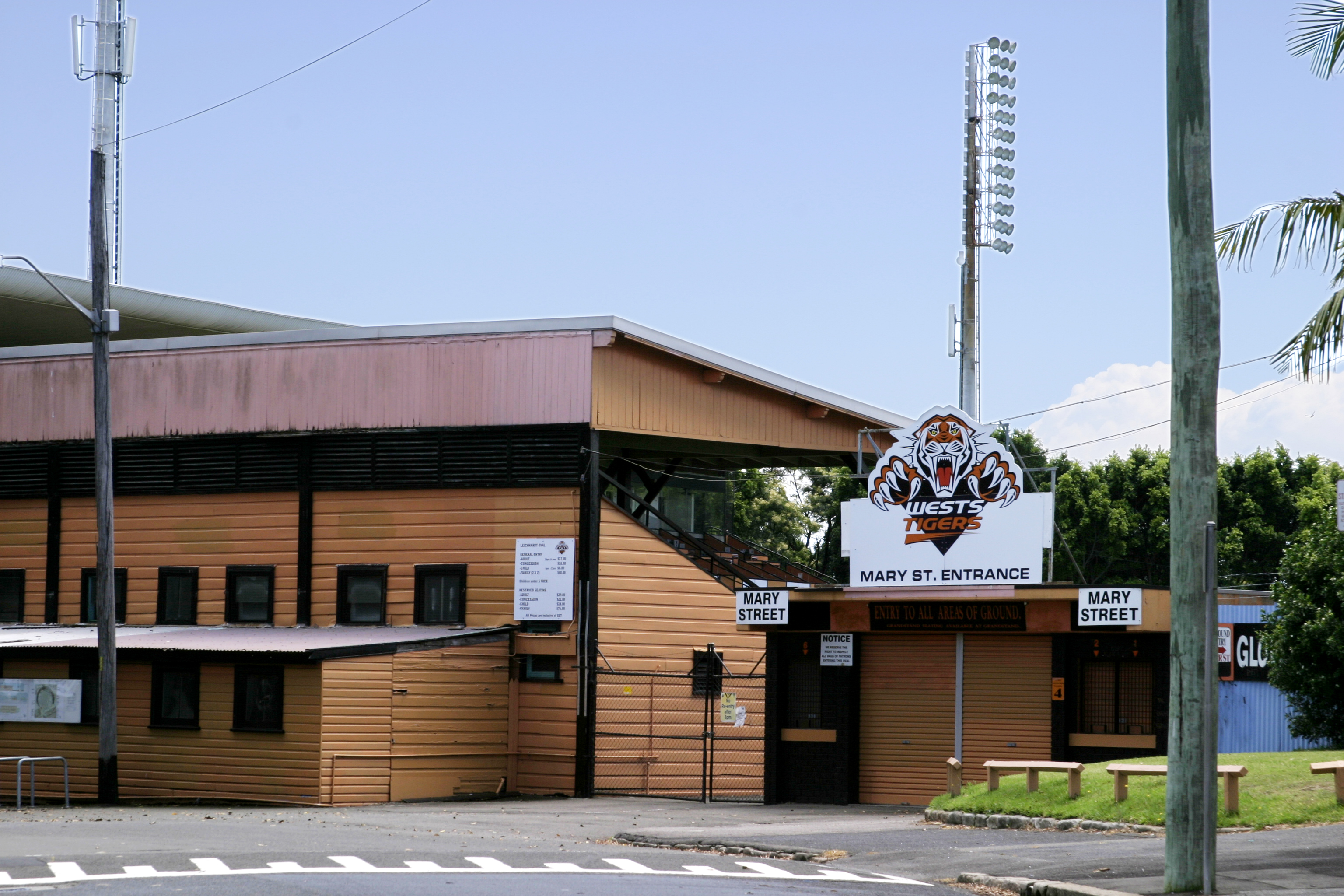
Leichhardt Park, which includes the Leichhardt Park Aquatic Centre is in Lilyfield, as is Leichhardt Oval in Mary Street, the homeground of the Wests Tigers.
-

Leichhardt Park Aquatic Centre
-
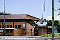
Leichhardt Oval (South Entrance), Mary Street
References
- ^ Australian Bureau of Statistics (30 March 2010). "Regional Population Growth, Australia, 2008–09". http://www.abs.gov.au/ausstats/abs@.nsf/Latestproducts/3218.0Main%20Features42008-09?opendocument&tabname=Summary&prodno=3218.0&issue=2008-09&num=&view=. Retrieved 3 June 2010.
- ^ Stevens, Joyce. (1995). Healing Women.
- ^ a b c "Leichhardt Municipal Council". 2008 Election results. Electoral Commission NSW. http://www.lg.elections.nsw.gov.au/LGE2008/result.Leichhardt.html. Retrieved 2009-08-02.[dead link]
- ^ "Regional Population Growth, Australia, 2005-06 (catalogue no.: 3218.0)". Australian Bureau of Statistics. http://abs.gov.au. Retrieved 2007-03-12.
External links
- Leichhardt Municipal Council website
- 2001 Census Information
- http://www.lwchc.org.au / Leichhardt Women's Community Health Centre website
Regions of Sydney Local Government Areas of Sydney Ashfield · Auburn · Bankstown · Blacktown · Botany Bay · Burwood · Camden · Campbelltown · Canada Bay · Canterbury · Fairfield · The Hills · Holroyd · Hornsby · Hunter's Hill · Hurstville · Kogarah · Ku-ring-gai · Lane Cove · Leichhardt · Liverpool · Manly · Marrickville · Mosman · North Sydney · Parramatta · Penrith · Pittwater · Randwick · Rockdale · Ryde · Strathfield · Sutherland · City of Sydney · Warringah · Waverley · Willoughby · WoollahraList of Sydney suburbs Local Government Areas of New South Wales Metropolitan Sydney Inner SydneyAshfield · Botany Bay · Burwood · Canada Bay · Canterbury · Hurstville · Kogarah · Lane Cove · Leichhardt · Manly · Marrickville · Mosman · North Sydney · Randwick · Rockdale · Strathfield · Sydney · Waverley · Willoughby · WoollahraOuter SydneyAuburn · Bankstown · Blacktown · Camden · Campbelltown · Fairfield · The Hills · Holroyd · Hornsby · Hunter's Hill · Ku-ring-gai · Liverpool · Parramatta · Penrith · Pittwater · Ryde · Sutherland · WarringahSydney SurroundsMid North Coast Bellingen · Clarence Valley · Coffs Harbour · Greater Taree · Kempsey · Nambucca · Port Macquarie-Hastings · Lord Howe IslandMurray Murrumbidgee Carrathool · Coolamon · Cootamundra · Griffith · Gundagai · Hay · Junee · Leeton · Lockhart · Murrumbidgee · Narrandera · Temora · Wagga WaggaHunter Cessnock · Dungog · Gloucester · Great Lakes · Lake Macquarie · Maitland · Muswellbrook · Newcastle · Port Stephens · Singleton · Upper HunterIllawarra Richmond Tweed Southeastern Bega · Bombala · Boorowa · Cooma-Monaro · Eurobodalla · Goulburn Mulwaree · Harden · Palerang · Queanbeyan · Snowy River · Tumut · Upper Lachlan · Yass Valley · YoungNorthern Armadale Dumaresq · Glen Innes-Severn · Gunnedah · Guyra · Gwydir · Inverell · Liverpool Plains · Moree Plains · Narrabri · Tamworth · Tenterfield · Uralla · WalchaCentral West North Western Far West Categories:- Local Government Areas in Sydney


Wikimedia Foundation. 2010.