- Murray Shire
-
This article is about the Murray Shire in New South Wales. For the Western Australia shire, see Shire of Murray.
Murray Shire
New South Wales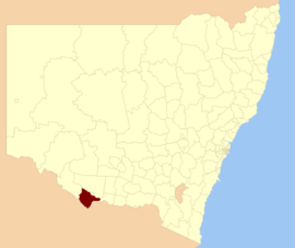
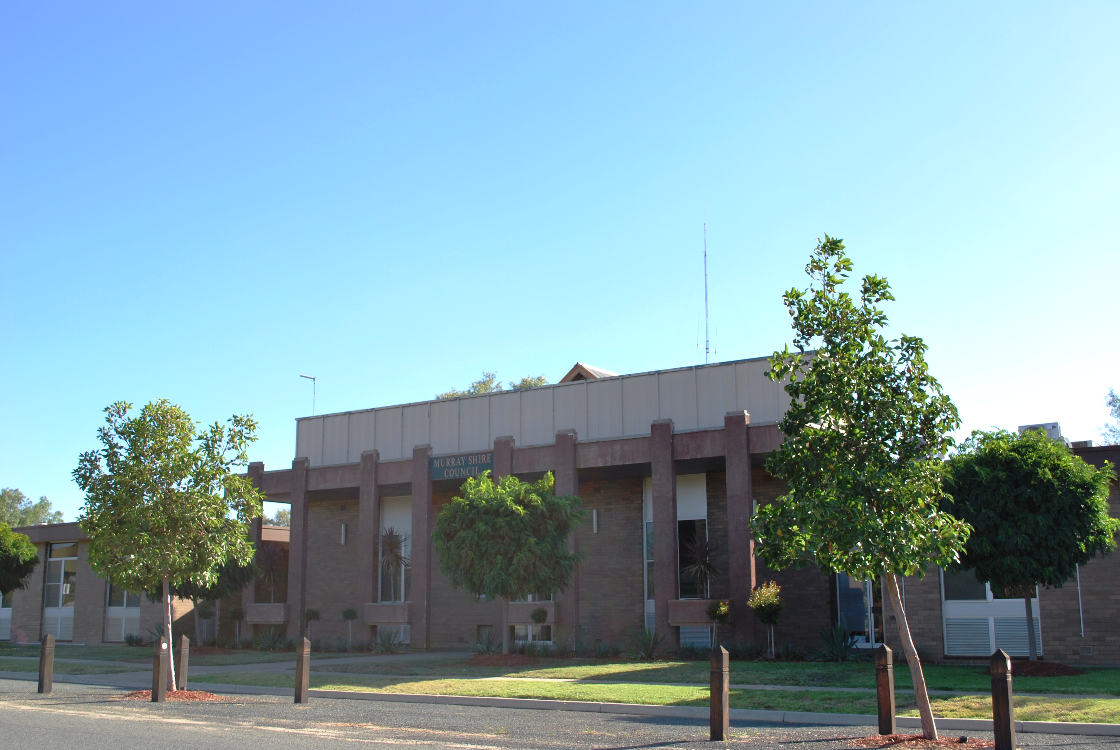
Location in New South WalesPopulation: 7,236(2009)[1] • Density: 1.5/km² (3.9/sq mi) Area: 4345 km² (1,677.6 sq mi) Mayor: Brian Sharp Council Seat: Mathoura (21-25 Conargo Street) Region: Riverina State District: Murray-Darling Federal Division: Farrer LGAs around Murray Shire: Conargo Deniliquin Conargo Wakool Murray Shire Berrigan Campaspe (Vic) Campaspe (Vic) Moira (Vic) 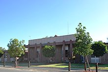 Shire office at Mathoura
Murray Shire is a local government area in the Riverina region of south western New South Wales, Australia. It includes the towns of Moama and Mathoura.
History
The Murray Shire region was developed in the 1840s by squatters following the route of the overlanders as they drove cattle from Sydney to Adelaide in the late 1830s. From the 1860s onwards, the selectors, mainly from Victoria, moved onto the squatter's land, their interest agriculture. The settlements of Moama and Mathoura survived over the years as centres for the movement of agriculture produce and the growth of the timber industry. The area covered by the Shire of Murray today is unique. The Cadell Fault, which changed the course of the Murray River about 30,000 years ago traverses the area from north to south. The Murray River system supports one of the largest River Red Gum forests in the world.
Council
Murray Shire Council is composed of nine councillors elected proportionally. The mayor is not directly elected.[2] The current makeup of the council is as follows:[2]
Party Councillors Unaffiliated 9 Total 9 The current council, elected in 2008, is:[2]
Councillor Party Notes Brian Sharp Unaffiliated Mayor Thomas Weyrich Unaffiliated Graeme Shiells Unaffiliated Deputy Mayor; elected on Brian Sharp's ticket Betty Murphy Unaffiliated Bob Caldwell Unaffiliated Elected on Brian Sharp's ticket Di MacFarlane Unaffiliated Elected on Brian Sharp's ticket Phillip Hosking Unaffiliated Elected on Brian Sharp's ticket John Pocklington Unaffiliated Bill Dockrey Unaffiliated Elected on Brian Sharp's ticket References
- ^ Australian Bureau of Statistics (30 March 2010). "Regional Population Growth, Australia, 2008–09". http://www.abs.gov.au/ausstats/abs@.nsf/Latestproducts/3218.0Main%20Features42008-09?opendocument&tabname=Summary&prodno=3218.0&issue=2008-09&num=&view=. Retrieved 3 June 2010.
- ^ a b c "Murray Shire Council". 2008 Election results. Electoral Commission NSW. http://www.lg.elections.nsw.gov.au/LGE2008/result.Murray.html. Retrieved 2009-08-03.[dead link]
Coordinates: 35°49′S 144°54′E / 35.817°S 144.9°E
Local Government Areas of the Riverina Cities: Albury · Griffith · Wagga Wagga
Towns: Deniliquin
Shires: Balranald · Berrigan · Carrathool · Conargo · Coolamon · Cootamundra · Corowa · Greater Hume · Gundagai · Hay · Jerilderie · Junee · Leeton · Lockhart · Murray · Murrumbidgee · Narrandera · Temora · Tumbarumba · Tumut · Urana · Wakool
Local Government Areas of New South Wales Metropolitan Sydney Inner SydneyAshfield · Botany Bay · Burwood · Canada Bay · Canterbury · Hurstville · Kogarah · Lane Cove · Leichhardt · Manly · Marrickville · Mosman · North Sydney · Randwick · Rockdale · Strathfield · Sydney · Waverley · Willoughby · WoollahraOuter SydneyAuburn · Bankstown · Blacktown · Camden · Campbelltown · Fairfield · The Hills · Holroyd · Hornsby · Hunter's Hill · Ku-ring-gai · Liverpool · Parramatta · Penrith · Pittwater · Ryde · Sutherland · WarringahSydney SurroundsMid North Coast Bellingen · Clarence Valley · Coffs Harbour · Greater Taree · Kempsey · Nambucca · Port Macquarie-Hastings · Lord Howe IslandMurray Albury · Balranald · Berrigan · Conargo · Corowa · Deniliquin · Greater Hume · Jerilderie · Murray · Tumbarumba · Urana · Wakool · WentworthMurrumbidgee Carrathool · Coolamon · Cootamundra · Griffith · Gundagai · Hay · Junee · Leeton · Lockhart · Murrumbidgee · Narrandera · Temora · Wagga WaggaHunter Cessnock · Dungog · Gloucester · Great Lakes · Lake Macquarie · Maitland · Muswellbrook · Newcastle · Port Stephens · Singleton · Upper HunterIllawarra Richmond Tweed Southeastern Bega · Bombala · Boorowa · Cooma-Monaro · Eurobodalla · Goulburn Mulwaree · Harden · Palerang · Queanbeyan · Snowy River · Tumut · Upper Lachlan · Yass Valley · YoungNorthern Armadale Dumaresq · Glen Innes-Severn · Gunnedah · Guyra · Gwydir · Inverell · Liverpool Plains · Moree Plains · Narrabri · Tamworth · Tenterfield · Uralla · WalchaCentral West North Western Far West Categories:- Local Government Areas of New South Wales
- Local Government Areas of the Riverina, New South Wales
- Riverina geography stubs

Wikimedia Foundation. 2010.