- City of Rockdale
-
City of Rockdale
New South Wales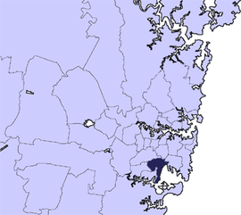
Population: 102,211(2009)[1] • Density: 3650/km² (9,453.5/sq mi) Area: 28 km² (10.8 sq mi) Mayor: Bill Saravinovski Council Seat: Rockdale Region: Metropolitan Sydney State District: Rockdale, Kogarah Federal Division: Barton LGAs around City of Rockdale: City of Canterbury Marrickville Council City of Botany Bay City of Hurstville City of Rockdale Municipality of Kogarah Sutherland Shire  Rockdale Town Hall
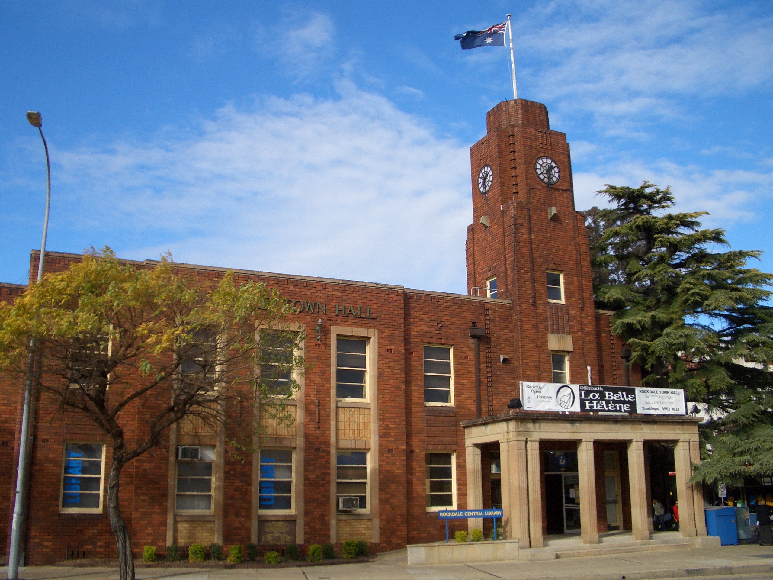
 Rockdale City Council Admin Building
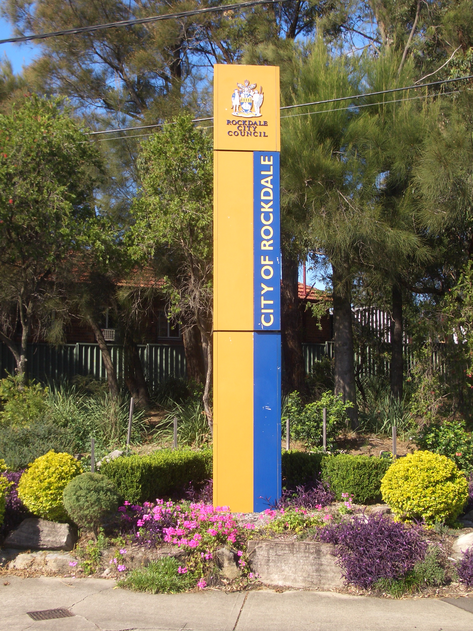
 City of Rockdale signpost, Stoney Creek Road, Kingsgrove
The City of Rockdale is a Local Government Area in southern Sydney, in the state of New South Wales, Australia. The city centre is located 12 kilometres south-south-west of the Sydney central business district, on the western shores of Botany Bay. The city is part of the St George area which contains the three local government areas of the City of Rockdale, City of Hurstville and Municipality of Kogarah.
The City of Rockdale has been previously known as the Municipality of West Botany and the Municipality of Rockdale. The City of Rockdale was declared in 1995.
Contents
Suburbs in the local government area
Suburbs in the City of Rockdale are:
- Arncliffe
- Banksia
- Bardwell Park
- Bardwell Valley
- Bexley
- Bexley North
- Brighton-Le-Sands
- Carlton
- Dolls Point
- Kingsgrove
- Kogarah
- Kyeemagh
- Monterey
- Ramsgate
- Ramsgate Beach
- Rockdale
- Sandringham
- Sans Souci
- Sydney Airport
- Turrella
- Wolli Creek
The City of Rockdale also manages and maintains the following localities:
- Bardwell Creek
- Cooks Cove
- Lady Robinson Beach
- Muddy Creek
- Rocky Point
- Sandringham Bay
- St Kilda Point
History
The City of Rockdale was originally known as the West Botany Municipality. The Municipality of West Botany was declared on the 13th January 1871 and covered nine square miles in 1884. It included much of the land which was later used to build Sydney Airport. The West Botany name was officially changed to Rockdale in 1887, when land was being sub-divided for residential development. [2] Among the main developers during this period was Frederick Jamison Gibbes, a Member of Parliament whose name is perpetuated by Gibbes Street in Banksia. [3][4]
The area of the municipality was reduced when the mouth of Cooks River was moved further south of its original position in the mid 1940s, to allow for the extension of Sydney Airport. Only a small part of the airport remains in the local government area today. As the city's population increased, more suburbs were created within its boundaries. The Municipality of Rockdale was declared a city in 1995, and is now known as the City of Rockdale. [5][6]
Demographics
According to the Australian Bureau of Statistics, the City of Rockdale had a population of 92,126 in 2006. Indigenous peoples accounted for .5% of this or 452 peoples. 45,810 people were born in Australia which was 49.7% of the population. [7]
There was a mixture of ancestries recorded in the City of Rockdale. The most numerous are:
Country of Birth Number % Australia 45,810 49.7% China 5,060 5.5% Greece 3,226 3.5% Macedonia 3,133 3.4% Lebanon 2,870 3.1% New Zealand 2,051 2.2% 38,135 people spoke English only which was 41.4% of the population.
Language Number of Speakers Percentage English only 38,135 41.4% Greek 8,700 9.4% Arabic 8,315 9.0% Macedonian 5,002 5.4% Cantonese 4,168 4.5% Mandarin 3,957 4.3% Council
Rockdale City Council is composed of fifteen councillors elected proportionally. The area is divided into five wards, each electing three councillors. The mayor is not directly elected.[8] The current makeup of the council is as follows:[8]
Party Councillors Australian Labor Party 5 Liberal Party of Australia 5 Independents 3 The Greens 1 Yvonne Bellamy Independents 1 Total 15 The current council, elected in 2008, is:[8]
Ward Councillor Party Notes First Ward Angelo Anestis Labor Yvonne Bellamy Yvonne Bellamy Independents Peter Poulos Liberal Deputy Mayor Second Ward Shaoquett Moselmane Labor Michael Nagi Independent Jan Brennan Liberal Third Ward Bill Saravinovski Labor Mayor John La Mela Liberal Lesa De Leau Greens Fourth Ward Joe Awada Labor Liz Barlow Independent Judy Feeney Liberal Fifth Ward Shane O'Brien Labor John Flowers Liberal James Macdonald Independent References
- ^ Australian Bureau of Statistics (30 March 2010). "Regional Population Growth, Australia, 2008–09". http://www.abs.gov.au/ausstats/abs@.nsf/Latestproducts/3218.0Main%20Features42008-09?opendocument&tabname=Summary&prodno=3218.0&issue=2008-09&num=&view=. Retrieved 3 June 2010.
- ^ Pictorial Memories ST. GEORGE: Rockdale, Kogarah, Hurstville Joan Lawrence, Kingsclear Books, 1996, Published in Australia ISBN 0-908272-45-6
- ^ The Book of Sydney Suburbs, Compiled by Frances Pollon, Angus & Robertson Publishers, 1990, Published in Australia ISBN 0-207-14495-8
- ^ Sands Post Office Directories (1880-1932/33)(POD)
- ^ A Century of Progress Rockdale 1871-1971, compiled by Rockdale Municipal Council, produced by Paul Horne and printed by Posters Pty, Ltd, Lane Cove
- ^ Geeves, Phillip and Jervis, J (1986) Rockdale: its beginning and development Revised Edition
- ^ Australian Bureau of Statistics (25 October 2007). "Community Profile Series : Rockdale (Local Government Area)". 2006 Census of Population and Housing. http://www.censusdata.abs.gov.au/ABSNavigation/prenav/ProductSelect?newproducttype=Community+Profiles&collection=Census&period=2006&areacode=LGA16650&breadcrumb=LP¤taction=201&action=401. Retrieved 2009-02-14.
- ^ a b c "Rockdale City Council". 2008 Election results. Electoral Commission NSW. http://www.lg.elections.nsw.gov.au/LGE2008/result.Rockdale.html. Retrieved 2009-08-03.[dead link]
External links
Regions of Sydney Local Government Areas of Sydney Ashfield · Auburn · Bankstown · Blacktown · Botany Bay · Burwood · Camden · Campbelltown · Canada Bay · Canterbury · Fairfield · The Hills · Holroyd · Hornsby · Hunter's Hill · Hurstville · Kogarah · Ku-ring-gai · Lane Cove · Leichhardt · Liverpool · Manly · Marrickville · Mosman · North Sydney · Parramatta · Penrith · Pittwater · Randwick · Rockdale · Ryde · Strathfield · Sutherland · City of Sydney · Warringah · Waverley · Willoughby · WoollahraList of Sydney suburbs Local Government Areas of New South Wales Metropolitan Sydney Inner SydneyAshfield · Botany Bay · Burwood · Canada Bay · Canterbury · Hurstville · Kogarah · Lane Cove · Leichhardt · Manly · Marrickville · Mosman · North Sydney · Randwick · Rockdale · Strathfield · Sydney · Waverley · Willoughby · WoollahraOuter SydneyAuburn · Bankstown · Blacktown · Camden · Campbelltown · Fairfield · The Hills · Holroyd · Hornsby · Hunter's Hill · Ku-ring-gai · Liverpool · Parramatta · Penrith · Pittwater · Ryde · Sutherland · WarringahSydney SurroundsMid North Coast Bellingen · Clarence Valley · Coffs Harbour · Greater Taree · Kempsey · Nambucca · Port Macquarie-Hastings · Lord Howe IslandMurray Murrumbidgee Carrathool · Coolamon · Cootamundra · Griffith · Gundagai · Hay · Junee · Leeton · Lockhart · Murrumbidgee · Narrandera · Temora · Wagga WaggaHunter Cessnock · Dungog · Gloucester · Great Lakes · Lake Macquarie · Maitland · Muswellbrook · Newcastle · Port Stephens · Singleton · Upper HunterIllawarra Richmond Tweed Southeastern Bega · Bombala · Boorowa · Cooma-Monaro · Eurobodalla · Goulburn Mulwaree · Harden · Palerang · Queanbeyan · Snowy River · Tumut · Upper Lachlan · Yass Valley · YoungNorthern Armadale Dumaresq · Glen Innes-Severn · Gunnedah · Guyra · Gwydir · Inverell · Liverpool Plains · Moree Plains · Narrabri · Tamworth · Tenterfield · Uralla · WalchaCentral West North Western Far West Categories:- Local Government Areas in Sydney


Wikimedia Foundation. 2010.