Ramsgate, New South Wales

Ramsgate, New South Wales

Infobox Australian Place | type = suburb
name = Ramsgate
city = Sydney
state = nsw


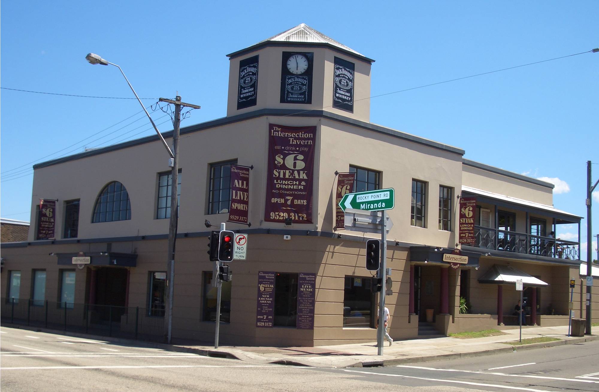
caption = Intersection Tavern, corner of Rocky Point Road and Ramsgate Road
lga = City of Rockdale
postcode = 2217
pop =
area =
propval =
est =
stategov = Electoral district of Rockdale
fedgov = Division of Barton
near-nw = Kogarah
near-n = Kogarah
near-ne = Monterey
near-w = Beverley Park
near-e = Ramsgate Beach
near-sw = Sans Souci
near-s = Sans Souci
near-se = Sans Souci
dist1 = 16
dir1 = south
location1= Sydney CBD

Ramsgate is a suburb in southern Sydney, in the state of New South Wales, Australia. Ramsgate is located 16km south of the Sydney central business district and is part of the St George area. Ramsgate is in the local government area of the City of Rockdale. Ramsgate Beach is a separate suburb, to the east.

Ramsgate is surrounded by the suburbs of Ramsgate Beach, Monterey, Kogarah, Beverley Park and Sans Souci.

History

The area between Cooks River and Georges River was originally known as Seven Mile Beach. It was changed to Lady Robinson’s Beach in 1874 to honour the wife of Governor Sir Hercules Robinson. Cook Park is named after Samuel Cook who advocated it as a public pleasure area. Ramsgate was named after the seaside resort in England. A model village was originally planned for the suburb but later abandoned.

Scarborough Park was created in the 1830s from part of Pat Moore's Swamp or Patmore Swamp. Patrick Moore was granted 60 acres of land in 1812. It was named by the Hon. Thomas Holt after the English coastal town of Scarborough, Yorkshire and the First Fleet convict ship which was briefly anchored in Botany Bay in 1788. ["The Book of Sydney Suburbs", Compiled by Frances Pollen, Angus & Robertson Publishers, 1990, Published in Australia ISBN 0-207-14495-8, pages 216-217]

Commercial area

The suburb is mostly residential with a shopping strip on Rocky Point Road, near the intersection with Ramsgate Road. The strip includes the post office and a pub called The Intersection. Another shopping strip including a supermarket is located just over the border at Ramsgate Beach, on Ramsgate Road, near The Grand Parade. Ramsgate RSL Club is located on the border, near this shopping strip.

Parks

* Scarborough Park, Leo Smith Reserve, Tonbridge St Reserve, Rotary Park.

Landmarks

* Syd Frost Memorial Hall
* Ramsgate Primary School
* Ramsgate RSL
* Duke of York(Pub)

References

External links


Wikimedia Foundation. 2010.

Игры ⚽ Нужно сделать НИР?

Look at other dictionaries:

  • Ramsgate Beach, New South Wales — Infobox Australian Place | type = suburb name = Ramsgate Beach city = Sydney state = nsw caption = Cook Park, Ramsgate Beach lga = City of Rockdale postcode = 2217 pop = area = propval = est = stategov = Electoral district of Rockdale fedgov =… …   Wikipedia

  • Kogarah, New South Wales — For the seat in the New South Wales Legislative Assembly, see Electoral district of Kogarah. For the local government area, see the Municipality of Kogarah. Kogarah Sydney, New South Wales …   Wikipedia

  • Monterey, New South Wales — Monterey Sydney, New South Wales Lady Robinsons Beach, Monterey Population …   Wikipedia

  • Bexley North, New South Wales — Bexley North Sydney, New South Wales Shaw Street, Bexley North Population …   Wikipedia

  • Dolls Point, New South Wales — Dolls Point Sydney, New South Wales Cook Park, Dolls Point Postcode: 2219 …   Wikipedia

  • Beverley Park, New South Wales — Infobox Australian Place | type = suburb name = Beverley Park city = Sydney state = nsw caption = St George Leagues Club lga = Municipality of Kogarah postcode = 2217 pop = area = propval = est = stategov = Rockdale fedgov = Division of Barton… …   Wikipedia

  • Sans Souci, New South Wales — Infobox Australian Place | type = suburb name = Sans Souci city = Sydney state = nsw caption = Cook Park, Sans Souci lga = City of Rockdale lga2 = Municipality of Kogarah postcode = 2219 pop = area = propval = est = stategov = Rockdale fedgov =… …   Wikipedia

  • Brighton-Le-Sands, New South Wales — Infobox Australian Place | type = suburb name = Brighton Le Sands city = Sydney state = nsw caption = Novotel Hotel, Brighton Le Sands lga = City of Rockdale postcode = 2216 est = pop = area = propval = stategov = Electoral district of Rockdale… …   Wikipedia

  • Ramsgate (disambiguation) — Ramsgate is the name of the following places: *Ramsgate, a seaside town in England *Ramsgate, KwaZulu Natal, a town in South Africa *Ramsgate, New South Wales, a suburb of Sydney, Australia …   Wikipedia

  • New Romney and Littlestone-on-Sea railway station — New Romney and Littlestone on Sea Station site in 1973, showing the base of the water tower to the right and the remains of one platform in the far distance. Location …   Wikipedia

Share the article and excerpts

Direct link
Do a right-click on the link above
and select “Copy Link”