- Banksia, New South Wales
Infobox Australian Place | type = suburb
name = Banksia
city = Sydney
state = nsw
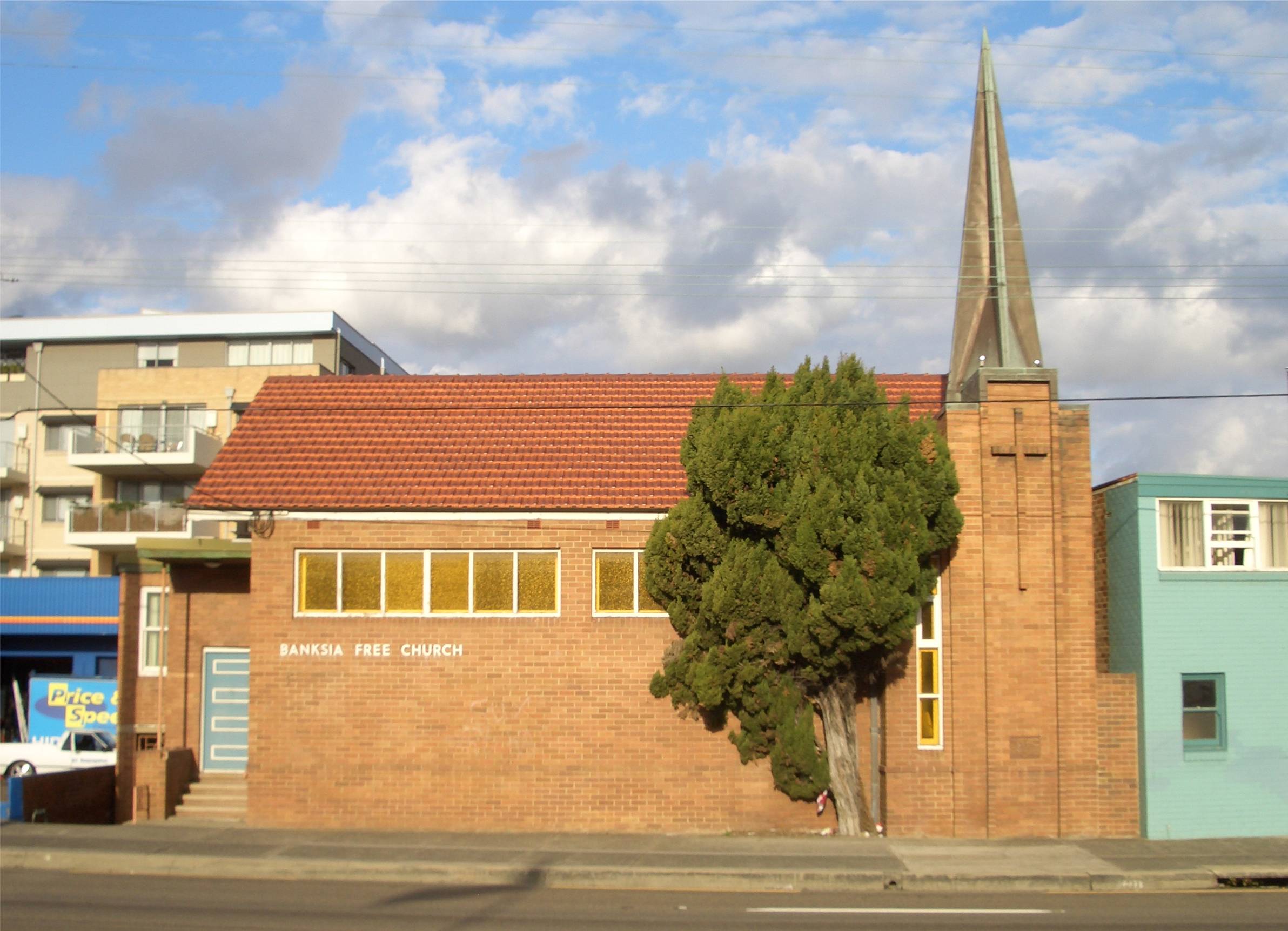
caption = Banksia Free Church, Princes Highway
lga =City of Rockdale
postcode = 2216
pop = 3,006
area =
propval = $455,000
est = 1906
stategov =Electoral district of Rockdale
fedgov =Division of Barton
near-nw = Bardwell Valley
near-n = Arncliffe
near-ne = Arncliffe
near-w = Bexley
near-e = Kyeemagh
near-sw = Rockdale
near-s = Rockdale
near-se = Brighton-Le-Sands|]
dist1 = 12
dir1 = south
location1=Sydney CBD Banksia is asuburb in southernSydney , in the state ofNew South Wales ,Australia . Banksia is located 12kilometres south of theSydney central business district , in the local government area of theCity of Rockdale and is part of the St George area.History
Banksia is named for
Joseph Banks , a botanist on the Voyage of Discovery ofJames Cook which visited the nearbyBotany Bay in 1770. [ "The Book of Sydney Suburbs", Page 17, Compiled by Frances Pollen, Angus & Robertson Publishers, 1990, Published in Australia ISBN 0-207-14495-8 ]The suburb was part of land owned by Simeon Pearce (1821-86) and his brother James Pearce in the 1850s, which extended from Rockdale to Brighton-Le-Sands. Until the late nineteenth century, the area was heavily timbered but residential development began in the 1880s. One of the leading developers was Frederick Jamison Gibbes, a Member of Parliament, after whom Gibbes Street in the suburb is named. The area developed more rapidly after the railway station opened on 21st October 1906. Many names for the suburb were suggested but the final choice was came from Charles Stead, father of novelist
Christina Stead . The post office opened in August 1924. [ "Pictorial Memories ST. GEORGE: Rockdale, Kogarah, Hurstville" Joan Lawrence, Kingsclear Books, 1996, Published in Australia ISBN 0-908272-45-6 ]Landmarks
*
St George Soccer Stadium , Barton Park, Gardiner Park
* Banksia Baptist Church
* Banksia Hotel
* National Film and Sound ArchiveCommercial Area
Banksia is mainly residential with a few commercial develoments. It features mostly low density houses and some medium density blocks of flats. Banksia shopping centre consists of a small group of shops on Railway Street beside Banksia railway station. It includes Banksia Bakery, a
take-away shop, a convenience store, chemist,Australia Post and a number of hairdressers.More shops and commercial developments are located on the
Princes Highway . This commercial area extends to the adjacent suburbs of Arncliffe and Rockdale. Many of the commercial developments are part of an automotive precinct featuring car yards, auto accessory retailers, tyre shops and auto repairers. Other businesses located here include the Banksia Hotel, aKFC restaurant and a populartake-away kebab shop called Brothers Kebabs.A market garden is located on the eastern side of West Botany Street, close to
St George Soccer Stadium .Transport
Banksia railway station on the
Illawarra line of theCityRail network. Banksia is also serviced bySydney Buses routes 400 and 410 that run between Burwood and Bondi Junction via Eastgardens.Houses
References
External links
* [http://www.austadiums.com/stadiums/stadiums.php?id=103 St George Soccer Stadium]
Wikimedia Foundation. 2010.