- City of Queanbeyan
-
City of Queanbeyan
New South Wales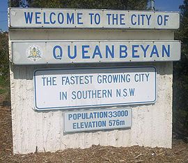
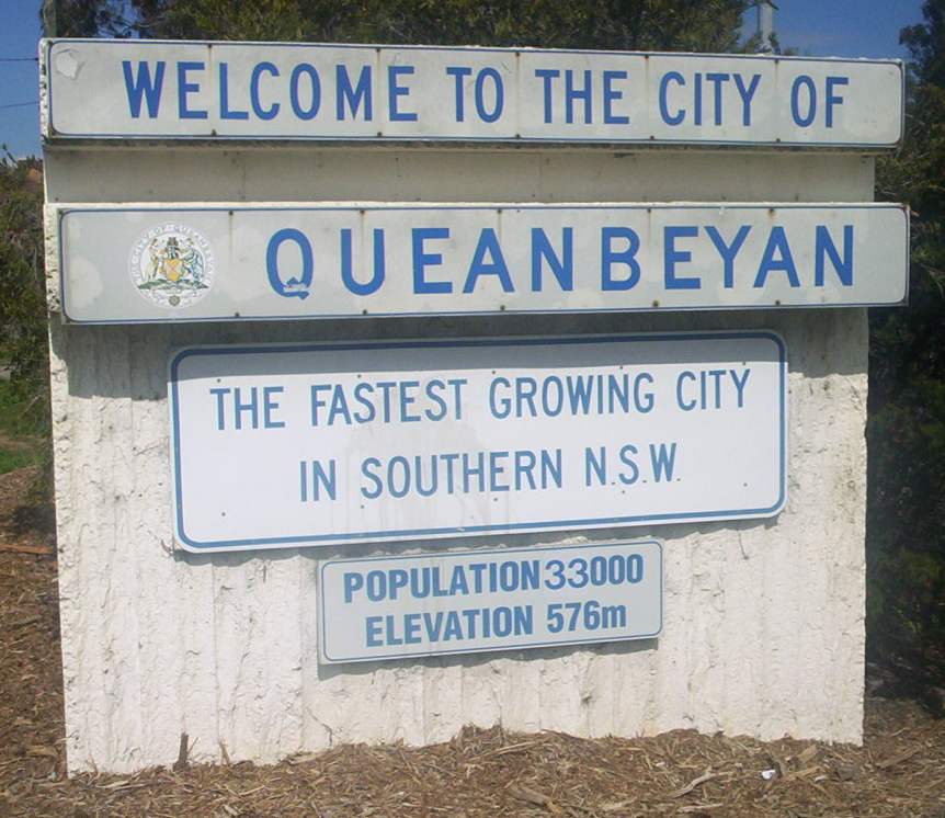
Queanbeyan welcome signPopulation: 40,661(2009)[1] Area: 172 km² (66.4 sq mi) Mayor: Tim Overall Council Seat: Queanbeyan (257 Crawford Street)[2] Region: Southern Tablelands State District: Monaro Federal Division: Eden-Monaro LGAs around City of Queanbeyan: ACT ACT Palerang ACT City of Queanbeyan Palerang ACT Palerang Palerang Queanbeyan City is a Local Government Area (LGA) south eastern New South Wales, Australia, near Canberra. It is on the Queanbeyan River, Molonglo River, the Kings Highway and the Sydney-Canberra railway.
It includes the suburbs and villages of:
- Carwoola
- Crestwood
- Environa
- Googong
- Greenleigh
- Jerrabomberra
- Karabar
- Queanbeyan East
- Queanbeyan West
- Queanbeyan
- The Ridgeway
- Royalla
- Tralee
Queanbeyan Council applied to have the localities of Letchworth, Larmer, Dodsworth and De Sallis recognised as suburbs and these names were assigned by the Geographical Names Board of New South Wales in 1998. A more recent Council has had these names withdrawn.
The Mayor of the City is Tim Overall. The General Manager of the Council is Gary Chapman. 6 Group Managers report to the General Manager to oversee the activities of the Council.
References
- ^ Australian Bureau of Statistics (30 March 2010). "Regional Population Growth, Australia, 2008–09". http://www.abs.gov.au/ausstats/abs@.nsf/Latestproducts/3218.0Main%20Features42008-09?opendocument&tabname=Summary&prodno=3218.0&issue=2008-09&num=&view=. Retrieved 3 June 2010.
- ^ "Queanbeyan City Council". Department of Local Government. http://www.dlg.nsw.gov.au/dlg/dlghome/dlg_CouncilContactDetails.asp?slacode=6470. Retrieved 2006-11-25.
Coordinates: 35°21′S 149°13′E / 35.35°S 149.217°E
The Southern Tablelands · New South Wales · Australia LGAs Goulburn-Mulwaree · Upper Lachlan · Palerang · Queanbeyan · Yass Valley · Boorowa
Main towns Goulburn · Queanbeyan · Yass · Boorowa · Braidwood · Bungendore · Crookwell · Gunning · Marulan · Murrumbateman
Villages and
small townsAraluen · Bannaby · Bigga · Binalong · Binda · Bookham · Bowning · Breadalbane · Bungonia · Burra · Burrinjuck · Bywong · Captains Flat · Carwoola · Crestwood · Cullerin · Dalton · Environa · Frogmore · Googong · Greenleigh · Gundaroo · Hoskinstown · Laggan · Lake Bathurst · Majors Creek · Mongarlowe · Nerriga · Reids Flat · Royalla · Rugby · Rye Park · Sutton · Tallong · Tarago · Taralga · The Ridgeway · Tirrannaville · Towrang · Tralee · Tuena · Wamboin · Wee Jasper · Windellama · Woolgarlo
Local Government Areas of New South Wales Metropolitan Sydney Inner SydneyAshfield · Botany Bay · Burwood · Canada Bay · Canterbury · Hurstville · Kogarah · Lane Cove · Leichhardt · Manly · Marrickville · Mosman · North Sydney · Randwick · Rockdale · Strathfield · Sydney · Waverley · Willoughby · WoollahraOuter SydneyAuburn · Bankstown · Blacktown · Camden · Campbelltown · Fairfield · The Hills · Holroyd · Hornsby · Hunter's Hill · Ku-ring-gai · Liverpool · Parramatta · Penrith · Pittwater · Ryde · Sutherland · WarringahSydney SurroundsMid North Coast Bellingen · Clarence Valley · Coffs Harbour · Greater Taree · Kempsey · Nambucca · Port Macquarie-Hastings · Lord Howe IslandMurray Murrumbidgee Carrathool · Coolamon · Cootamundra · Griffith · Gundagai · Hay · Junee · Leeton · Lockhart · Murrumbidgee · Narrandera · Temora · Wagga WaggaHunter Cessnock · Dungog · Gloucester · Great Lakes · Lake Macquarie · Maitland · Muswellbrook · Newcastle · Port Stephens · Singleton · Upper HunterIllawarra Richmond Tweed Southeastern Bega · Bombala · Boorowa · Cooma-Monaro · Eurobodalla · Goulburn Mulwaree · Harden · Palerang · Queanbeyan · Snowy River · Tumut · Upper Lachlan · Yass Valley · YoungNorthern Armadale Dumaresq · Glen Innes-Severn · Gunnedah · Guyra · Gwydir · Inverell · Liverpool Plains · Moree Plains · Narrabri · Tamworth · Tenterfield · Uralla · WalchaCentral West North Western Far West Categories:- Local Government Areas of New South Wales
- Queanbeyan
- New South Wales geography stubs
Wikimedia Foundation. 2010.