- Bowning, New South Wales
Infobox Australian Place | type = town
name = Bowning
state = nsw
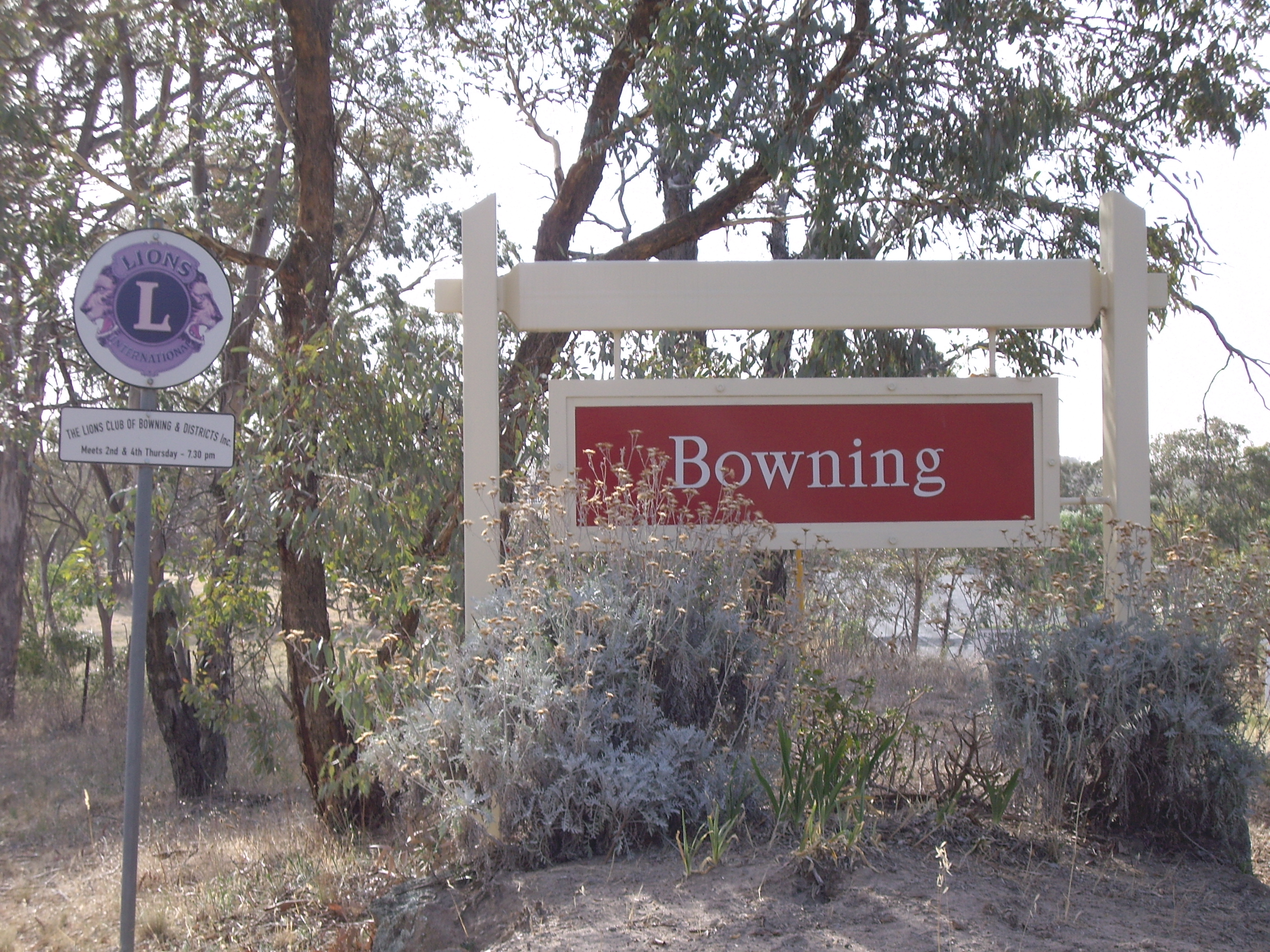
caption = Entering Bowning
lga =
postcode = 2582
pop = 355 (within 7 km radius) [ [http://www.fallingrain.com/world/AS/2/Bowning.html www.fallingrain.com/world/AS/2/Bowning] ]
est =
elevation= 602
maxtemp =
mintemp =
rainfall =
stategov =
fedgov =
dist1 = 10
location1= Yass
dist2 = 19
location2= BookhamBowning (coord|34|37|S|148|49|E|region:AU-NSW_type:city(191)|display=inline,title, altitude: 602m) is a small town in the
Southern Tablelands , 14 km west of Yass on theHume Highway in Yass Valley Shire. Bowning is an aboriginal word meaning big hill.Nearby Bowning Hill is 796 metres above sea level and Hume and Hovell mentioned it in their 1824 journal. Bowning was one of the earliest settlements in the district.
Historic buildings include the Troopers Cottage on the Binalong Road and the old
Cobb and Co Coaching Station in Bogolong Street. The coaching station was built sometime between 1850 and 1870. The original local school was amongst the earliest established schools in inland New South Wales, founded in 1849, but now replaced. [ [http://bowning.visitnsw.com/HolidayLocation/TNSW601055CT.htm Tourism New South Wales] ]Railway
Bowning railway station is on the Main South railway line, and opened in 1876 consisting of two island platforms. [ [http://www.nswrail.net/locations/show.php?name=NSW:Bowning&line=NSW:main_south:0 Bowning Railway Station] . NSWrail.net. Accessed 9 April 2008.] The station closed in 1992, however is still largely intact with a double storey station building on the down platform (now a local craft shop).
References
Wikimedia Foundation. 2010.