- Wiley Park, New South Wales
Infobox Australian Place | type = suburb
name = Wiley Park
city =Sydney
state =NSW
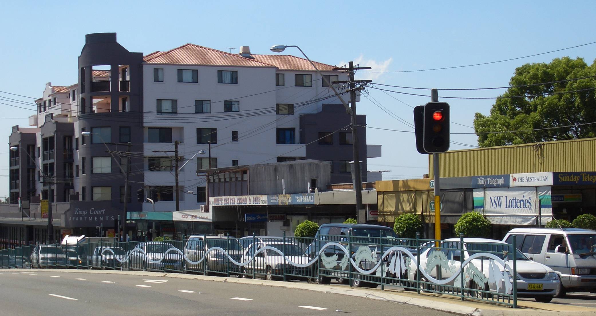
caption = King Georges Road, Lakemba
lga = City of Canterbury
postcode = 2195
est =
pop =
area =
propval =
stategov = Lakemba
fedgov =Division of Watson
near-nw = Punchbowl
near-n = Punchbowl|
near-ne = Lakemba
near-w = Punchbowl
near-e = Lakemba
near-sw = Roselands
near-s = Roselands
near-se = Roselands
dist1 = 17
dir1 = south-west
location1=Sydney CBD Wiley Park is a
suburb in south-westernSydney , in the state ofNew South Wales ,Australia . Wiley Park is located 17 kilometres south-west of theSydney central business district in the City of Canterbury.History
Wiley Park is named after the reserve of 20 acres that was bequeathed in the will of Mr. J.V. Wiley in 1906 for a park and recreational ground for local residents. At the time it caused some dissent with the local council but after much debate at a public meeting it was decided to accept the bequest. This park is bounded by King Georges Road, Canterbury Road, Clio Street and Edge Street. ["The Book of Sydney Suburbs", Compiled by Frances Pollon, Angus & Robertson Publishers, 1990, Published in Australia ISBN 0-207-14495-8, page 271 ]
Commercial Area
Wiley Park is a predominantly residential area. A small shopping strip is located on King Georges Road, near the railway station. Also on King Georges Road, south of the train station is an impressive
Cao Dai Temple. Wiley Park Public School and Wiley Park Girls High School are located here too.Transport
Wiley Park railway station is on the Bankstown line of the
CityRail network.King Georges Road is a main road running through Wiley Park that starts as Wiley Avenue, to the north in Greenacre through to Beverly Hills in the south and beyond. Canterbury Road runs along the southern border of the suburb.
Parks and Culture
Wiley Park, on the corner of King Georges and Canterbury roads currently has a recreational area over 2.5km². It has a large pond, and houses the Wiley Park Bicentennial Amphitheatre where local events such as "Carols in the Park" at Christmas and "Youth X Festival" are held.
Until the widening of King Georges Road in the 1980s, Wiley Park included a velodrome that held events including Australian Championships.
Population
Wiley Park is a multicultural suburb with many residents born overseas or have backgrounds from Lebanon, Vietnam, Italy, Greece, Philippines and Pacific Islanders.
References
External links
Wikimedia Foundation. 2010.