| [2] |
Landmark name[3] |
Image |
Date listed |
Location |
City or Town |
Summary |
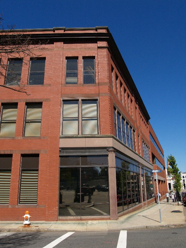
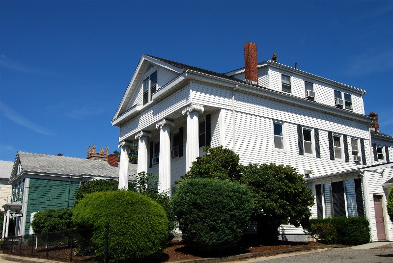
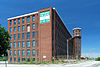
| 1 |
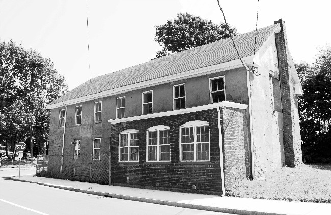
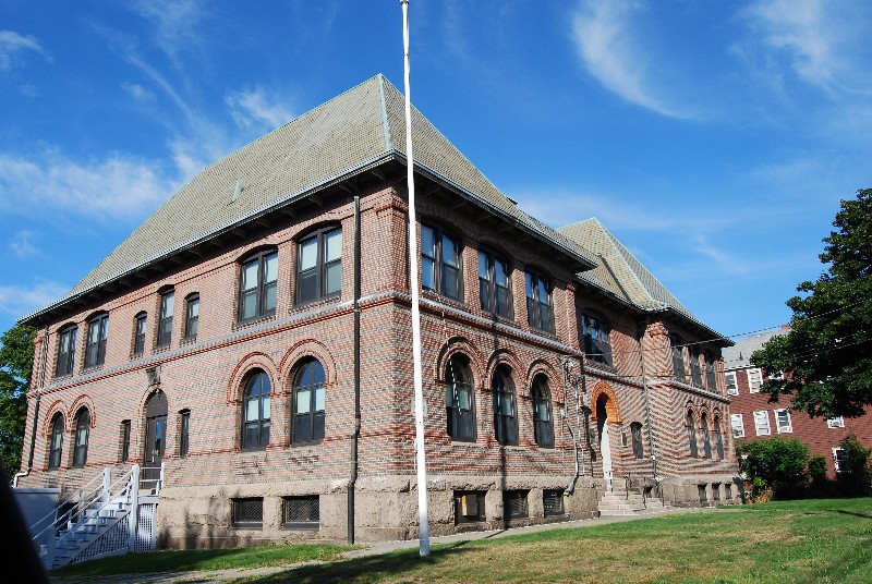
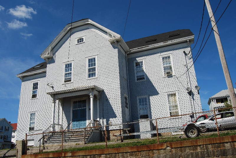
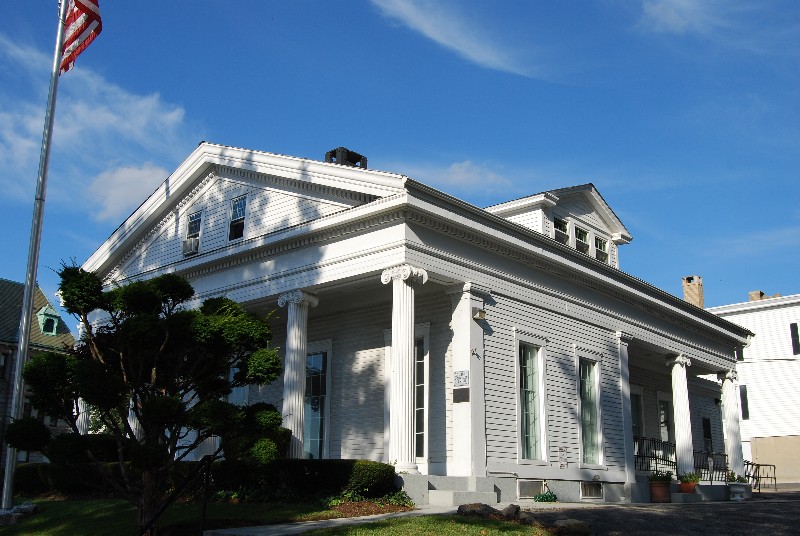
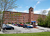
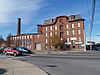
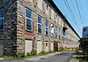
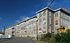
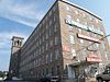
Academy Building |
 |
01973-07-02 July 2, 1973 |
S. Main St.
41°42′2″N 71°9′9″W / 41.70056°N 71.1525°W / 41.70056; -71.1525 (Academy Building) |
Fall River |
|
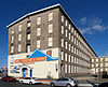
| 2 |
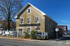
Al Mac's Diner-Restaurant |
 |
01999-12-20 December 20, 1999 |
135 President Ave.
41°42′58″N 71°9′17″W / 41.71611°N 71.15472°W / 41.71611; -71.15472 (Al Mac's Diner--Restaurant) |
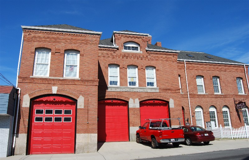
Fall River |
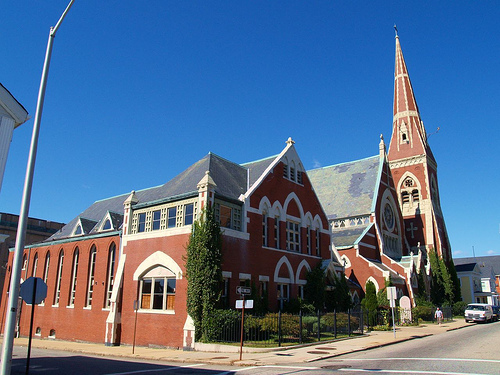
|
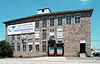
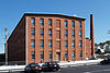
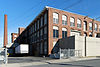
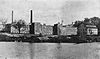
| 3 |
Algonquin Printing Co. |
 |
01983-02-16 February 16, 1983 |
Bay St.
41°41′42″N 71°10′40″W / 41.695°N 71.17778°W / 41.695; -71.17778 (Algonquin Printing Co.) |
Fall River |
|
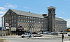
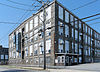
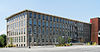
| 4 |
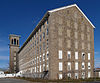
American Printing Co. and Metacomet Mill |
 |
01983-02-16 February 16, 1983 |
Anawan St.
41°42′10″N 71°9′42″W / 41.70278°N 71.16167°W / 41.70278; -71.16167 (American Printing Co. and Metacomet Mill) |
Fall River |
|
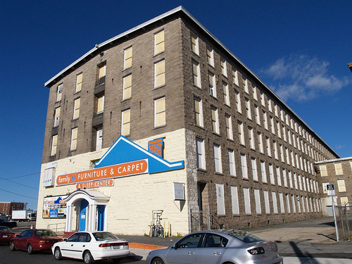
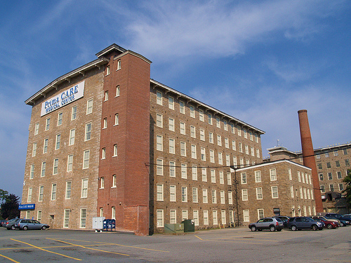
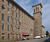
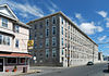
| 5 |
David M. Anthony House |
 |
01983-02-16 February 16, 1983 |
368 N. Main St.
41°42′55″N 71°9′21″W / 41.71528°N 71.15583°W / 41.71528; -71.15583 (Anthony, David M., House) |
Fall River |
|
| 6 |
Ashley House |
|
01983-02-16 February 16, 1983 |
3159 Main St.
41°44′21″N 71°7′49″W / 41.73917°N 71.13028°W / 41.73917; -71.13028 (Ashley House) |
Fall River |
*Dismantled July, 1983 [4] |
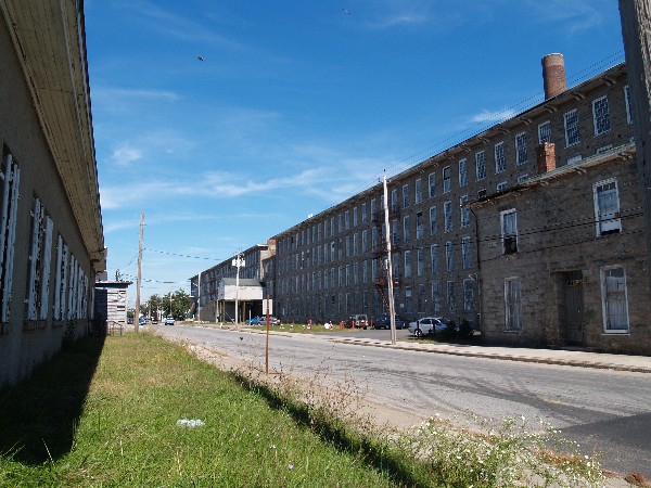
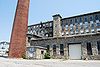
| 7 |
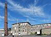
Barnard Mills |
 |
01983-02-16 February 16, 1983 |
641-657 Quarry St. |
Fall River |
Includes attached weave shed |
| 8 |
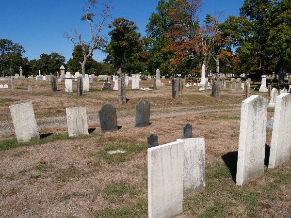
Belmont Club/John Young House |
 |
01983-02-16 February 16, 1983 |
34 Franklin St.
41°42′13″N 71°9′17″W / 41.70361°N 71.15472°W / 41.70361; -71.15472 (Belmont Club/John Young House) |
Fall River |
|
| 9 |
Barnabus Blossom House |
 |
01983-02-16 February 16, 1983 |
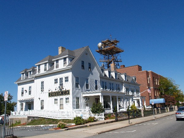
244 Grove St.
41°42′55″N 71°8′59″W / 41.71528°N 71.14972°W / 41.71528; -71.14972 (Blossom, Barnabus, House) |
Fall River |
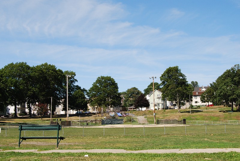
|
| 10 |
Boguslavsky Triple-Deckers |
 |
01983-02-16 February 16, 1983 |
53-87 Albion St.
41°42′22″N 71°8′7″W / 41.70611°N 71.13528°W / 41.70611; -71.13528 (Boguslavsky Triple-Deckers) |
Fall River |
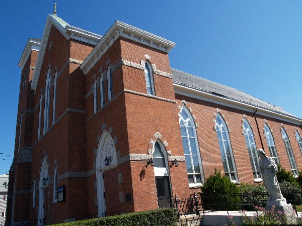
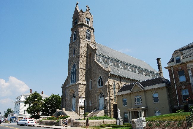
|
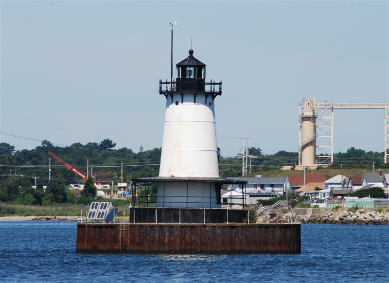
| 11 |
Borden Flats Light Station |
 |
01987-06-15 June 15, 1987 |
Taunton River
41°42′18″N 71°10′40″W / 41.705°N 71.17778°W / 41.705; -71.17778 (Borden Flats Light Station) |
Fall River |
|
| 12 |
A.J. Borden Building |
 |
01983-02-16 February 16, 1983 |
91-111 S. Main St.
41°42′5″N 71°9′30″W / 41.70139°N 71.15833°W / 41.70139; -71.15833 (Borden, A.J., Building) |
Fall River |
|
| 13 |
Ariadne J. and Mary A. Borden House |
 |
01983-02-16 February 16, 1983 |
92 Globe St.
41°41′21.57″N 71°10′43.63″W / 41.689325°N 71.1787861°W / 41.689325; -71.1787861 (Borden, Ariadne J. and Mary A., House) |
Fall River |
|
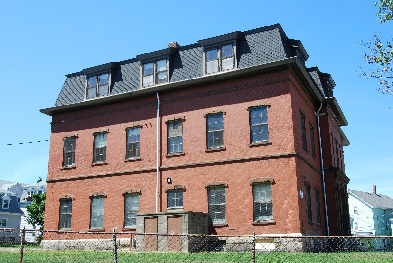
| 14 |
N. B. Borden School |
 |
01983-02-16 February 16, 1983 |
43 Morgan St.
41°41′49″N 71°8′53″W / 41.69694°N 71.14806°W / 41.69694; -71.14806 (Borden, N. B., School) |
Fall River |
|
| 15 |
Borden-Winslow House |
 |
01983-02-16 February 16, 1983 |
3063 N. Main St.
41°43′34″N 71°8′2″W / 41.72611°N 71.13389°W / 41.72611; -71.13389 (Borden-Winslow House) |
Fall River |
|
| 16 |
Border City Mill No. 2 |
 |
01990-06-28 June 28, 1990 |
One Weaver St.
41°43′40″N 71°8′29″W / 41.72778°N 71.14139°W / 41.72778; -71.14139 (Border City Mill No. 2) |
Fall River |
Converted into apartments |
| 17 |
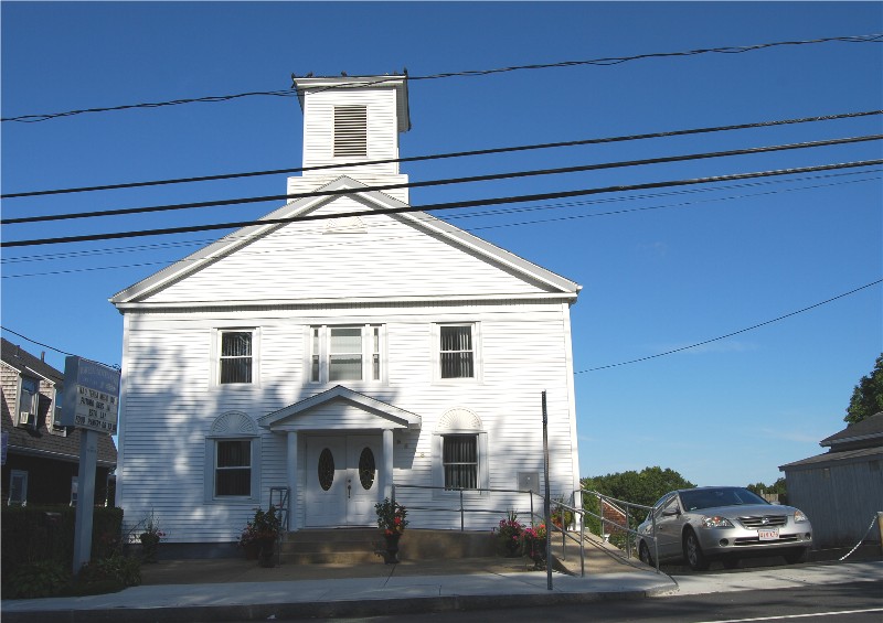
Brayton Methodist Episcopal Church |
 |
01983-02-16 February 16, 1983 |
264 Griffin St.
41°41′20″N 71°10′12″W / 41.68889°N 71.17°W / 41.68889; -71.17 (Brayton Methodist Episcopal Church) |
Fall River |
|
| 18 |
Hathaway Brightman House |
 |
01983-02-16 February 16, 1983 |
205 Crescent St.
41°44′4″N 71°8′28″W / 41.73444°N 71.14111°W / 41.73444; -71.14111 (Brightman, Hathaway, House) |
Fall River |
|
| 19 |
Bristol County Superior Court (Fall River, Massachusetts)| |
 |
01983-02-16 February 16, 1983 |
441 N. Main St.
41°42′29″N 71°9′16″W / 41.70806°N 71.15444°W / 41.70806; -71.15444 (Bristol County Superior Court) |
Fall River |
|
| 20 |
Squire William B. Canedy House |
 |
01983-02-16 February 16, 1983 |
2634 N. Main St.
41°42′52″N 71°8′10″W / 41.71444°N 71.13611°W / 41.71444; -71.13611 (Canedy, Squire William B., House) |
Fall River |
|
| 21 |
Cataract Engine Company No. 3 |
 |
01983-02-16 February 16, 1983 |
116 Rock St.
41°42′12″N 71°9′14″W / 41.70333°N 71.15389°W / 41.70333; -71.15389 (Cataract Engine Company No. 3) |
Fall River |
|
| 22 |
Central Congregational Church |
 |
01983-02-16 February 16, 1983 |
100 Rock St.
41°42′10″N 71°9′14″W / 41.70278°N 71.15389°W / 41.70278; -71.15389 (Central Congregational Church) |
Fall River |
Most recently occupied by International Institute of Culinary Arts |
| 23 |
Chace Mills |
 |
01983-02-16 February 16, 1983 |
Lewiston and Salem Sts.
41°41′30″N 71°8′47″W / 41.69167°N 71.14639°W / 41.69167; -71.14639 (Chace Mills) |
Fall River |
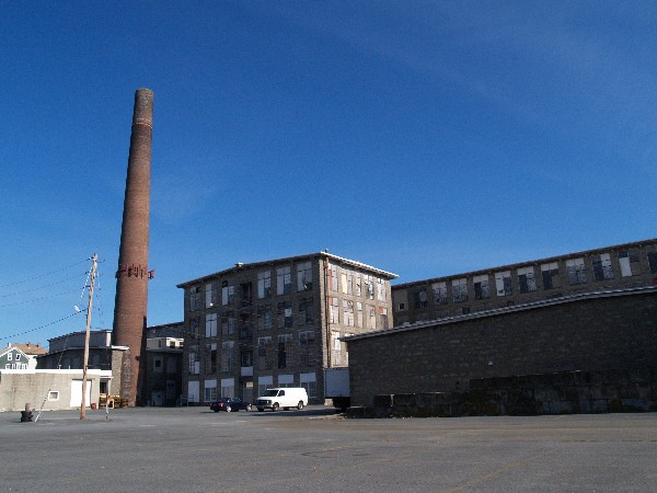
Weave shed burned in 1999, main mill saved |
| 24 |
A. B. Chace Rowhouses |
 |
01983-02-16 February 16, 1983 |
655-685 Middle St.
41°42′9″N 71°10′0″W / 41.7025°N 71.166667°W / 41.7025; -71.166667 (Chace, A. B., Rowhouses) |
Fall River |
|
| 25 |
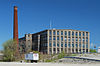
Oliver Chace's Thread Mill |
 |
01983-02-16 February 16, 1983 |
505 Bay St.
41°41′38″N 71°10′39″W / 41.69389°N 71.1775°W / 41.69389; -71.1775 (Chase's, Oliver, Thread Mill) |
Fall River |
oldest remaining mill in Fall River; later part of Connanicut Mills |
| 26 |
Charlton Mill |
 |
01983-02-16 February 16, 1983 |
109 Howe St.
41°40′43″N 71°10′38″W / 41.67861°N 71.17722°W / 41.67861; -71.17722 (Charlton Mill) |
Fall River |
weave shed demolished |
| 27 |
Chase-Hyde Farm |
 |
01983-02-16 February 16, 1983 |
1281-1291 New Boston Rd.
41°43′3″N 71°7′32″W / 41.7175°N 71.12556°W / 41.7175; -71.12556 (Chase-Hyde Farm) |
Fall River |
|
| 28 |
Children's Home |
 |
01983-02-16 February 16, 1983 |
427 Robeson St.
41°42′53″N 71°8′39″W / 41.71472°N 71.14417°W / 41.71472; -71.14417 (Children's Home) |
Fall River |
|
| 29 |
Church of the Ascension |
 |
01983-02-16 February 16, 1983 |
160 Rock St.
41°42′4″N 71°9′12″W / 41.70111°N 71.15333°W / 41.70111; -71.15333 (Church of the Ascension) |
Fall River |
|
| 30 |
William Collins House |
 |
01983-02-16 February 16, 1983 |
3775 N. Main St.
41°43′15″N 71°7′29″W / 41.72083°N 71.12472°W / 41.72083; -71.12472 (Collins, William, House) |
Fall River |
|
| 31 |
William M. Connell School |
 |
01983-02-16 February 16, 1983 |
650 Plymouth Ave.
41°42′8″N 71°9′23″W / 41.70222°N 71.15639°W / 41.70222; -71.15639 (Connell, William M., School) |
Fall River |
|
| 32 |
Corky Row Historic District |
 |
01983-06-23 June 23, 1983 |
Roughly bounded by Plymouth Ave. I195 and 2nd St.
41°41′43″N 71°9′23″W / 41.69528°N 71.15639°W / 41.69528; -71.15639 (Corky Row Historic District) |
Fall River |
Include Davol Mills & Tecumseh Mills |
| 33 |
Cornell Mills |
 |
01983-02-16 February 16, 1983 |
Alden St.
41°41′3″N 71°8′1″W / 41.68417°N 71.13361°W / 41.68417; -71.13361 (Cornell Mills) |
Fall River |
|
| 34 |
Coughlin School |
 |
01983-02-16 February 16, 1983 |
1975 Pleasant St.
41°41′4″N 71°7′42″W / 41.68444°N 71.12833°W / 41.68444; -71.12833 (Coughlin School) |
Fall River |
|
| 35 |
Crescent Mill |
 |
01983-02-16 February 16, 1983 |
30 Front St.
41°41′51″N 71°8′49″W / 41.6975°N 71.14694°W / 41.6975; -71.14694 (Crescent Mill) |
Fall River |
|
| 36 |
Davol School |
 |
01983-02-16 February 16, 1983 |
112 Flint St.
41°41′34″N 71°8′9″W / 41.69278°N 71.13583°W / 41.69278; -71.13583 (Davol School) |
Fall River |
school closed in June 2008 |
| 37 |
William C. Davol, Jr., House |
 |
01983-02-16 February 16, 1983 |
252 High St.
41°42′50″N 71°9′10″W / 41.71389°N 71.15278°W / 41.71389; -71.15278 (Davol, William C., Jr., House) |
Fall River |
|
| 38 |
Downtown Fall River Historic District |
 |
01983-02-16 February 16, 1983 |
N. and S. Main, Bedford, Granite, Bank, Franklin, and Elm Sts.
41°42′11″N 71°9′21″W / 41.70306°N 71.15583°W / 41.70306; -71.15583 (Downtown Fall River Historic District) |
Fall River |
|
| 39 |
Durfee Mills |
 |
01983-02-16 February 16, 1983 |
359-479 Pleasant St.
41°41′54″N 71°8′59″W / 41.69833°N 71.14972°W / 41.69833; -71.14972 (Durfee Mills) |
Fall River |
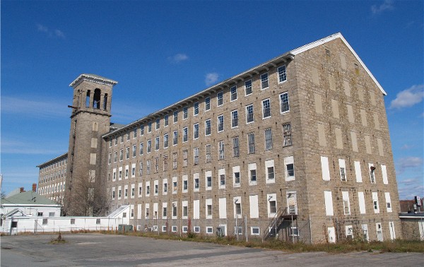
largest mill complex in city |
| 40 |
B.M.C. Durfee High School |
 |
01981-06-11 June 11, 1981 |
289 Rock St.
41°42′20″N 71°9′8″W / 41.70556°N 71.15222°W / 41.70556; -71.15222 (Durfee, B.M.C., High School) |
Fall River |
now occupied by Massachusetts Probate Court |
| 41 |
John M. Earle House |
 |
01983-02-16 February 16, 1983 |
352 Durfee St.
41°42′58″N 71°9′26″W / 41.71611°N 71.15722°W / 41.71611; -71.15722 (Earle, John M., House) |
Fall River |
|
| 42 |
Fall River Bleachery |
 |
01983-02-16 February 16, 1983 |
Jefferson St.
41°40′19″N 71°8′44″W / 41.67194°N 71.14556°W / 41.67194; -71.14556 (Fall River Bleachery) |
Fall River |
|
| 43 |
Fall River Waterworks |
 |
01981-12-07 December 7, 1981 |
Bedford St.
41°42′7″N 71°7′9″W / 41.70194°N 71.11917°W / 41.70194; -71.11917 (Fall River Waterworks) |
Fall River |
|
| 44 |
First Baptist Church |
 |
01983-02-16 February 16, 1983 |
200-228 N. Main St.
41°42′18″N 71°9′20″W / 41.705°N 71.15556°W / 41.705; -71.15556 (First Baptist Church) |
Fall River |
|
| 45 |
Flint Mills |
 |
01983-02-16 February 16, 1983 |
Alden St.
41°41′20″N 71°8′13″W / 41.68889°N 71.13694°W / 41.68889; -71.13694 (Flint Mills) |
Fall River |
|
| 46 |
Foster Spinning Co. |
 |
01983-02-16 February 16, 1983 |
Cove St.
41°43′27″N 71°8′49″W / 41.72417°N 71.14694°W / 41.72417; -71.14694 (Foster Spinning Co.) |
Fall River |
|
| 47 |
Globe Yarn Mills |
 |
01983-02-16 February 16, 1983 |
Globe St.
41°41′20″N 71°10′24″W / 41.68889°N 71.17333°W / 41.68889; -71.17333 (Globe Yarn Mills) |
Fall River |
|
| 48 |
Greany Building |
 |
01983-02-16 February 16, 1983 |
1270-1288 Pleasant St.
41°41′31″N 71°8′10″W / 41.69194°N 71.13611°W / 41.69194; -71.13611 (Greany Building) |
Fall River |
|
| 49 |
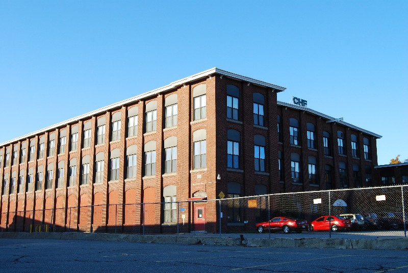
Hargraves Mill No. 1 |
 |
01983-02-16 February 16, 1983 |
Quarry St.
41°41′33″N 71°8′25″W / 41.6925°N 71.14028°W / 41.6925; -71.14028 (Hargraves Mill No. 1) |
Fall River |
|
| 50 |
James D. Hathaway House |
 |
01983-02-16 February 16, 1983 |
311 Pine St.
41°42′47″N 71°9′15″W / 41.71306°N 71.15417°W / 41.71306; -71.15417 (Hathaway, James D., House) |
Fall River |
|
| 51 |
Highlands Historic District |
 |
01983-02-16 February 16, 1983 |
Roughly bounded by June, Cherry, and Weetamae Sts., Lincoln,Highland, President, N. Main, and Hood Aves.
41°42′37″N 71°9′0″W / 41.71028°N 71.15°W / 41.71028; -71.15 (Highlands Historic District) |
Fall River |
|
| 52 |
House at 108-112 Quarry Street |
 |
01983-02-16 February 16, 1983 |
108-112 Quarry St.
41°42′23″N 71°8′26″W / 41.70639°N 71.14056°W / 41.70639; -71.14056 (House at 108-112 Quarry Street) |
Fall River |
|
| 53 |
Jesus Marie Convent |
 |
01983-02-16 February 16, 1983 |
138 St. Joseph's St.
41°41′27″N 71°7′56″W / 41.69083°N 71.13222°W / 41.69083; -71.13222 (Jesus Marie Convent) |
Fall River |
|
| 54 |
Kennedy Park |
 |
01983-02-16 February 16, 1983 |
Bounded by S. Main St., Bradford Ave., Middle, and Bay Sts.
41°41′44″N 71°10′12″W / 41.69556°N 71.17°W / 41.69556; -71.17 (Kennedy Park) |
Fall River |
|
| 55 |
King Philip Mills |
 |
01983-02-16 February 16, 1983 |
Kilburn St.
41°40′55″N 71°10′21″W / 41.68194°N 71.1725°W / 41.68194; -71.1725 (King Philip Mills) |
Fall River |
|
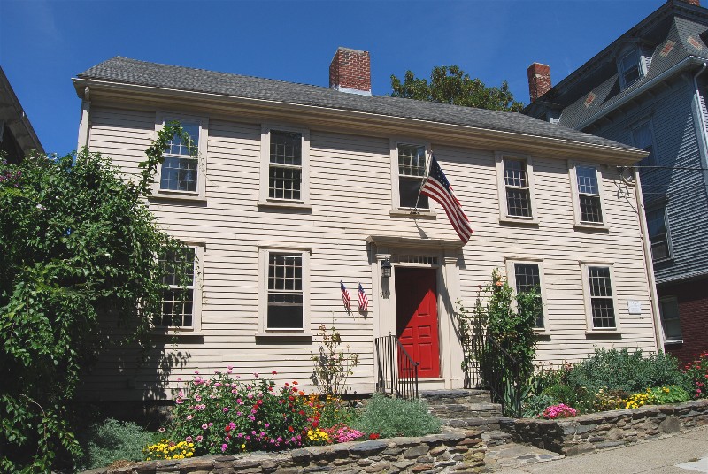
| 56 |
Lafayette-Durfee House |
 |
01982-04-15 April 15, 1982 |
94 Cherry St.
41°42′21″N 71°9′26″W / 41.70583°N 71.15722°W / 41.70583; -71.15722 (Lafayette-Durfee House) |
Fall River |
|
| 57 |
William Lindsey House |
 |
01983-02-16 February 16, 1983 |
373 N. Main St.
41°42′59″N 71°9′18″W / 41.71639°N 71.155°W / 41.71639; -71.155 (Lindsey, William, House) |
Fall River |
|
| 58 |
Lower Highlands Historic District |
 |
01984-01-10 January 10, 1984 |
Roughly bounded by Cherry, Main, Winter, and Bank Sts.
41°42′15″N 71°8′58″W / 41.70417°N 71.14944°W / 41.70417; -71.14944 (Lower Highlands Historic District) |
Fall River |
|
| 59 |
William M. Manley House |
 |
01986-06-26 June 26, 1986 |
610 Cherry St.
41°42′17″N 71°8′54″W / 41.70472°N 71.14833°W / 41.70472; -71.14833 (Manley, William M., House) |
Fall River |
|
| 60 |
Massasoit Fire House No. 5 |
 |
01983-02-16 February 16, 1983 |
83 Freedom St.
41°41′22″N 71°10′9″W / 41.68944°N 71.16917°W / 41.68944; -71.16917 (Massasoit Fire House No. 5) |
Fall River |
|
| 61 |
Mechanics Mill |
 |
01983-02-16 February 16, 1983 |
1082 Davol St.
41°43′7″N 71°9′21″W / 41.71861°N 71.15583°W / 41.71861; -71.15583 (Mechanics Mill) |
Fall River |
|
| 62 |
Narragansett Mills |
 |
01983-02-16 February 16, 1983 |
1567 N. Main St.
41°43′18″N 71°8′39″W / 41.72167°N 71.14417°W / 41.72167; -71.14417 (Narragansett Mills) |
Fall River |
|
| 63 |
North Burial Ground |
 |
01983-02-16 February 16, 1983 |
N. Main St. between Brightman and Cory Sts.
41°43′11″N 71°9′0″W / 41.71972°N 71.15°W / 41.71972; -71.15 (North Burial Ground) |
Fall River |
|
| 64 |
North Christian Congregational Church |
 |
01983-02-16 February 16, 1983 |
3538 N. Main St.
41°44′39″N 71°7′40″W / 41.74417°N 71.12778°W / 41.74417; -71.12778 (North Christian Congregational Church) |
Fall River |
|
| 65 |
Notre Dame School |
 |
01983-02-16 February 16, 1983 |
34 St. Joseph's St.
41°41′28″N 71°8′2″W / 41.69111°N 71.13389°W / 41.69111; -71.13389 (Notre Dame School) |
Fall River |
school closed in June 2008 |
| 66 |
Oak Grove Cemetery |
 |
01983-02-16 February 16, 1983 |
765 Prospect St.
41°42′19″N 71°8′14″W / 41.70528°N 71.13722°W / 41.70528; -71.13722 (Oak Grove Cemetery) |
Fall River |
|
| 67 |
Osborn House |
 |
01980-04-04 April 4, 1980 |
456 Rock St.
41°42′27″N 71°9′9″W / 41.7075°N 71.1525°W / 41.7075; -71.1525 (Osborn House) |
Fall River |
aka Carr-Osborn Mansion |
| 68 |
Osborn Street School |
 |
01983-02-16 February 16, 1983 |
160 Osborn St.
41°41′33″N 71°10′3″W / 41.6925°N 71.1675°W / 41.6925; -71.1675 (Osborn Street School) |
Fall River |
|
| 69 |
Israel Picard House |
 |
01983-02-16 February 16, 1983 |
690 County St.
41°42′6″N 71°7′46″W / 41.70167°N 71.12944°W / 41.70167; -71.12944 (Picard, Israel, House) |
Fall River |
|
| 70 |
Pilgrim Mills |
 |
01983-02-16 February 16, 1983 |
847 Pleasant St.
41°41′56″N 71°9′5″W / 41.69889°N 71.15139°W / 41.69889; -71.15139 (Pilgrim Mills) |
Fall River |
|
| 71 |
Pine Street School |
 |
01983-02-16 February 16, 1983 |
880 Pine St.
41°42′9″N 71°8′39″W / 41.7025°N 71.14417°W / 41.7025; -71.14417 (Pine Street School) |
Fall River |
|
| 72 |
Pocasset Firehouse No. 7 |
 |
01983-02-16 February 16, 1983 |
1058 Pleasant St.
41°41′40″N 71°8′19″W / 41.69444°N 71.13861°W / 41.69444; -71.13861 (Pocasset Firehouse No. 7) |
Fall River |
|
| 73 |
PT BOAT 796 (torpedo boat) |
 |
01986-01-14 January 14, 1986 |
Battleship Cove
41°42′14″N 71°9′40″W / 41.70389°N 71.16111°W / 41.70389; -71.16111 (PT BOAT 796 (torpedo boat)) |
Fall River |
|
| 74 |
Quequechan Club |
 |
01983-02-16 February 16, 1983 |
306 N. Main St.
41°42′57″N 71°9′21″W / 41.71583°N 71.15583°W / 41.71583; -71.15583 (Quequechan Club) |
Fall River |
|
| 75 |
Quequechan Valley Mills Historic District |
 |
01983-02-16 February 16, 1983 |
Quequechan, Jefferson, and Stevens Sts. between I-195 and Denver St.
41°40′59″N 71°8′33″W / 41.68306°N 71.1425°W / 41.68306; -71.1425 (Quequechan Valley Mills Historic District) |
Fall River |
|
| 76 |
Nathan Read House |
 |
01983-02-16 February 16, 1983 |
506 N. Main St.
41°43′5″N 71°9′20″W / 41.71806°N 71.15556°W / 41.71806; -71.15556 (Read, Nathan, House) |
Fall River |
|
| 77 |
Ruggles Park |
 |
01983-02-16 February 16, 1983 |
Bounded by Seabury, Robeson, Pine, and Locust Sts.
41°42′14″N 71°8′46″W / 41.70389°N 71.14611°W / 41.70389; -71.14611 (Ruggles Park) |
Fall River |
|
| 78 |
Sacred Heart School |
 |
01987-03-09 March 9, 1987 |
90 Linden St.
41°42′11″N 71°8′57″W / 41.70306°N 71.14917°W / 41.70306; -71.14917 (Sacred Heart School) |
Fall River |
|
| 79 |
Sagamore Mill No. 2 |
 |
01983-02-16 February 16, 1983 |
1822 N. Main St.
41°43′26″N 71°8′39″W / 41.72389°N 71.14417°W / 41.72389; -71.14417 (Sagamore Mill No. 2) |
Fall River |
|
| 80 |
Sagamore Mills No. 1 and No. 3 |
 |
01983-02-16 February 16, 1983 |
Ace St.
41°43′33″N 71°8′43″W / 41.72583°N 71.14528°W / 41.72583; -71.14528 (Sagamore Mills No. 1 and No. 3) |
Fall River |
|
| 81 |
Sanford Spinning Co. |
 |
01983-02-16 February 16, 1983 |
Globe Mills Ave.
41°41′33″N 71°10′45″W / 41.6925°N 71.17917°W / 41.6925; -71.17917 (Sanford Spinning Co.) |
Fall River |
|
| 82 |
Santo Christo Church |
 |
01983-02-16 February 16, 1983 |
240 Columbia St.
41°42′1″N 71°9′48″W / 41.70028°N 71.16333°W / 41.70028; -71.16333 (Santo Christo Church) |
Fall River |
|
| 83 |
Seaconnett Mills |
 |
01983-02-16 February 16, 1983 |
E. Warren St.
41°41′0″N 71°8′10″W / 41.683333°N 71.13611°W / 41.683333; -71.13611 (Seaconnett Mills) |
Fall River |
|
| 84 |
John Mace Smith House |
 |
01983-02-16 February 16, 1983 |
399 N. Main St.
41°42′57″N 71°9′18″W / 41.71583°N 71.155°W / 41.71583; -71.155 (Smith, John Mace, House) |
Fall River |
|
| 85 |
St. Anne's Church and Parish Complex |
 |
01983-02-16 February 16, 1983 |
780 S. Main St.
41°41′38″N 71°9′50″W / 41.69389°N 71.16389°W / 41.69389; -71.16389 (St. Anne's Church and Parish Complex) |
Fall River |
|
| 86 |
St. Joseph's Church |
 |
01983-02-16 February 16, 1983 |
1355 N. Main St.
41°43′7″N 71°8′52″W / 41.71861°N 71.14778°W / 41.71861; -71.14778 (St. Joseph's Church) |
Fall River |
|
| 87 |
St. Joseph's Orphanage |
 |
01983-02-16 February 16, 1983 |
56 St. Joseph's St.
41°41′30″N 71°8′0″W / 41.69167°N 71.133333°W / 41.69167; -71.133333 (St. Joseph's Orphanage) |
Fall River |
|
| 88 |
St. Louis Church |
 |
01983-02-16 February 16, 1983 |
440 Bradford Ave.
41°41′47″N 71°10′2″W / 41.69639°N 71.16722°W / 41.69639; -71.16722 (St. Louis Church) |
Fall River |
Demolished in April 2010 |
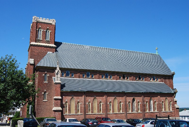
| 89 |
St. Mary's Cathedral and Rectory |
 |
01983-02-16 February 16, 1983 |
327 Second St.
41°41′55″N 71°9′28″W / 41.69861°N 71.15778°W / 41.69861; -71.15778 (St. Mary's Cathedral and Rectory) |
Fall River |
|
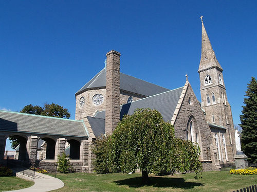
| 90 |
St. Patrick's Church |
 |
01983-02-16 February 16, 1983 |
1588 S. Main St.
41°41′7.93″N 71°10′25.11″W / 41.6855361°N 71.1736417°W / 41.6855361; -71.1736417 (St. Patrick's Church) |
Fall River |
now known as Good Shepherd Parish |
| 91 |
Stafford Mills |
 |
01983-02-16 February 16, 1983 |
County St.
41°41′46″N 71°8′21″W / 41.69611°N 71.13917°W / 41.69611; -71.13917 (Stafford Mills) |
Fall River |
|
| 92 |
Torpedo Boat PT-617 |
 |
01989-12-20 December 20, 1989 |
Battleship Cove
41°42′14″N 71°9′40″W / 41.70389°N 71.16111°W / 41.70389; -71.16111 (Torpedo Boat PT-617) |
Fall River |
|
| 93 |
Truesdale Hospital |
 |
01986-04-15 April 15, 1986 |
1820 Highland Ave.
41°43′41″N 71°8′7″W / 41.72806°N 71.13528°W / 41.72806; -71.13528 (Truesdale Hospital) |
Fall River |
|
| 94 |
U.S.S. JOSEPH P. KENNEDY JR. (DD-850) |
 |
01976-09-30 September 30, 1976 |
Battleship Cove
41°42′21″N 71°9′47″W / 41.70583°N 71.16306°W / 41.70583; -71.16306 (U.S.S. JOSEPH P. KENNEDY JR. (DD-850)) |
Fall River |
|
| 95 |
U.S.S. LIONFISH |
 |
01976-09-30 September 30, 1976 |
Battleship Cove
41°42′20″N 71°9′48″W / 41.70556°N 71.16333°W / 41.70556; -71.16333 (U.S.S. LIONFISH) |
Fall River |
|
| 96 |
U.S.S. MASSACHUSETTS |
 |
01976-09-30 September 30, 1976 |
Battleship Cove
41°42′24″N 71°9′48″W / 41.70667°N 71.16333°W / 41.70667; -71.16333 (U.S.S. MASSACHUSETTS) |
Fall River |
|
| 97 |
Union Mills |
 |
01983-02-16 February 16, 1983 |
Pleasant St.
41°41′44″N 71°8′32″W / 41.69556°N 71.14222°W / 41.69556; -71.14222 (Union Mills) |
Fall River |
|
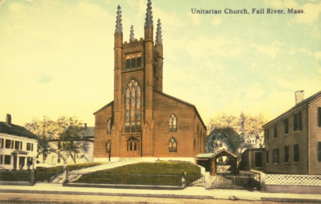
| 98 |
The Unitarian Society |
 |
01982-05-13 May 13, 1982 |
309 N. Main St.
41°42′22″N 71°9′17″W / 41.70611°N 71.15472°W / 41.70611; -71.15472 (Unitarian Society, The) |
Fall River |
Destroyed by fire in 1983; rebuilt. |
| 99 |
Valentine-French House |
 |
01983-02-16 February 16, 1983 |
5105 N. Main St.
41°45′36.16″N 71°6′45.36″W / 41.7600444°N 71.1126°W / 41.7600444; -71.1126 (Valentine-French House) |
Fall River |
|
| 100 |
Wampanoag Mills |
 |
01983-02-16 February 16, 1983 |
Quequechan St.
41°41′20″N 71°8′19″W / 41.68889°N 71.13861°W / 41.68889; -71.13861 (Wampanoag Mills) |
Fall River |
|
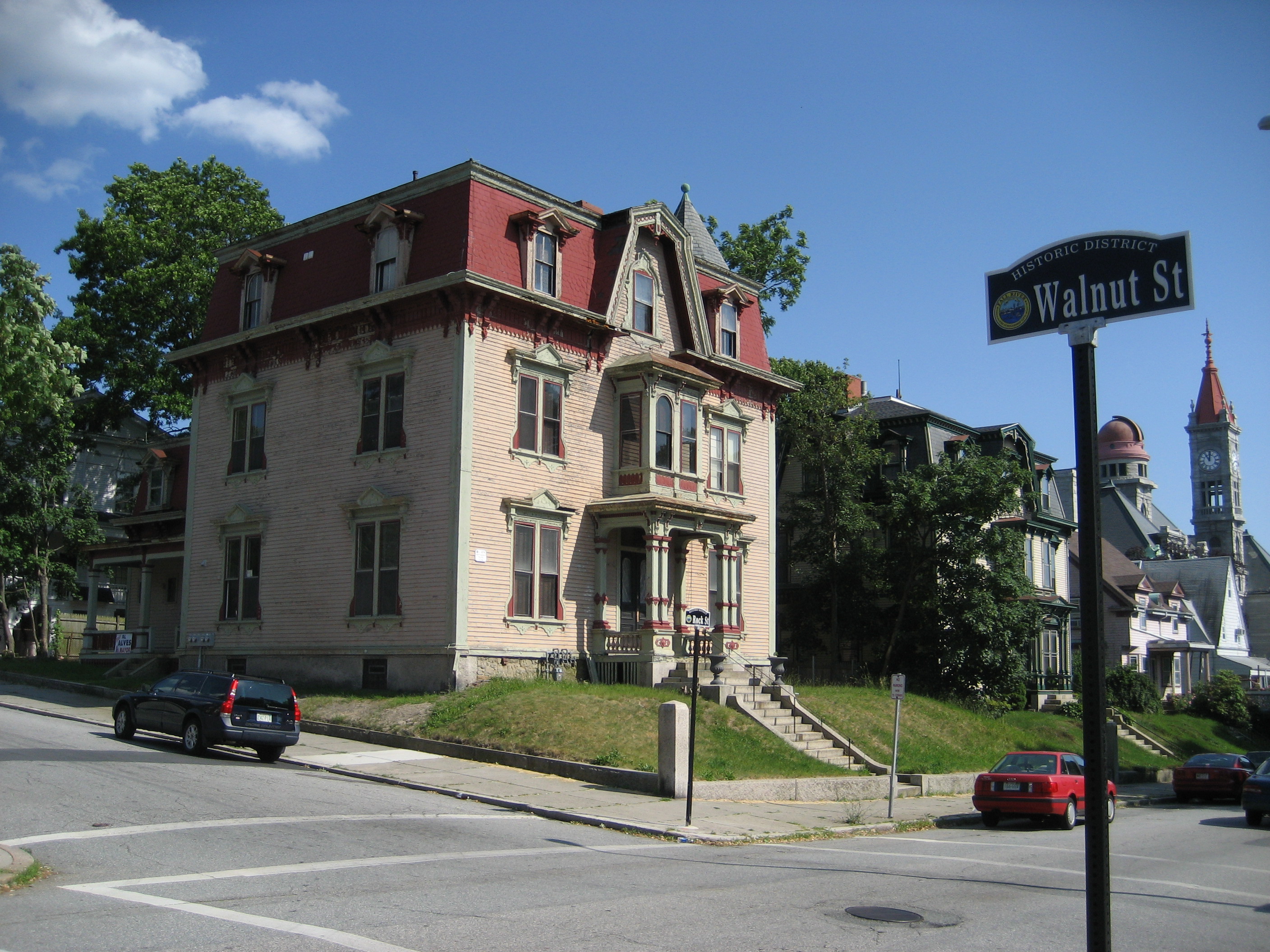
| 101 |
Woman's Club of Fall River |
 |
01983-02-16 February 16, 1983 |
1542 Walnut St.
41°42′56″N 71°8′59″W / 41.71556°N 71.14972°W / 41.71556; -71.14972 (Woman's Club of Fall River) |
Fall River |
|
| 102 |
Luther Winslow, Jr., House |
 |
01983-02-16 February 16, 1983 |
5225 N. Main St.
41°45′37.12″N 71°6′41.83″W / 41.7603111°N 71.1116194°W / 41.7603111; -71.1116194 (Winslow, Luther, Jr., House) |
Fall River |
|


 Commonwealth of Massachusetts