- National Register of Historic Places listings in Nantucket County, Massachusetts
-
 Location of Nantucket County in Massachusetts
This is a list of the National Register of Historic Places listings in Nantucket County, Massachusetts.
This is intended to be a complete list of the properties and districts on the National Register of Historic Places in Nantucket County, Massachusetts, United States. Latitude and longitude coordinates are provided for many National Register properties and districts; these locations may be seen together in a Google map.[1]
There are 4 properties listed on the National Register in the county, including 2 National Historic Landmarks. Another property was once listed but has been removed.
Contents: Counties in Massachusetts -
- This National Park Service list is complete through NPS recent listings posted November 4, 2011.[2]
Current listings
[3] Landmark name[4] Image Date listed Location Summary 1 Brant Point Light Station 
September 28, 1987 Brant Pt.
41°17′20″N 70°5′34″W / 41.28889°N 70.09278°W2 Jethro Coffin House 
November 24, 1968 Sunset Hill
41°17′15″N 70°6′25″W / 41.2875°N 70.10694°W3 Nantucket Historic District 
November 13, 1966 Nantucket Island
41°17′30″N 70°4′4″W / 41.29167°N 70.06778°W4 Sankaty Head Light 
October 15, 1987 Sankaty Head, Nantucket Island
41°16′58″N 69°58′9″W / 41.28278°N 69.96917°WFormer listing
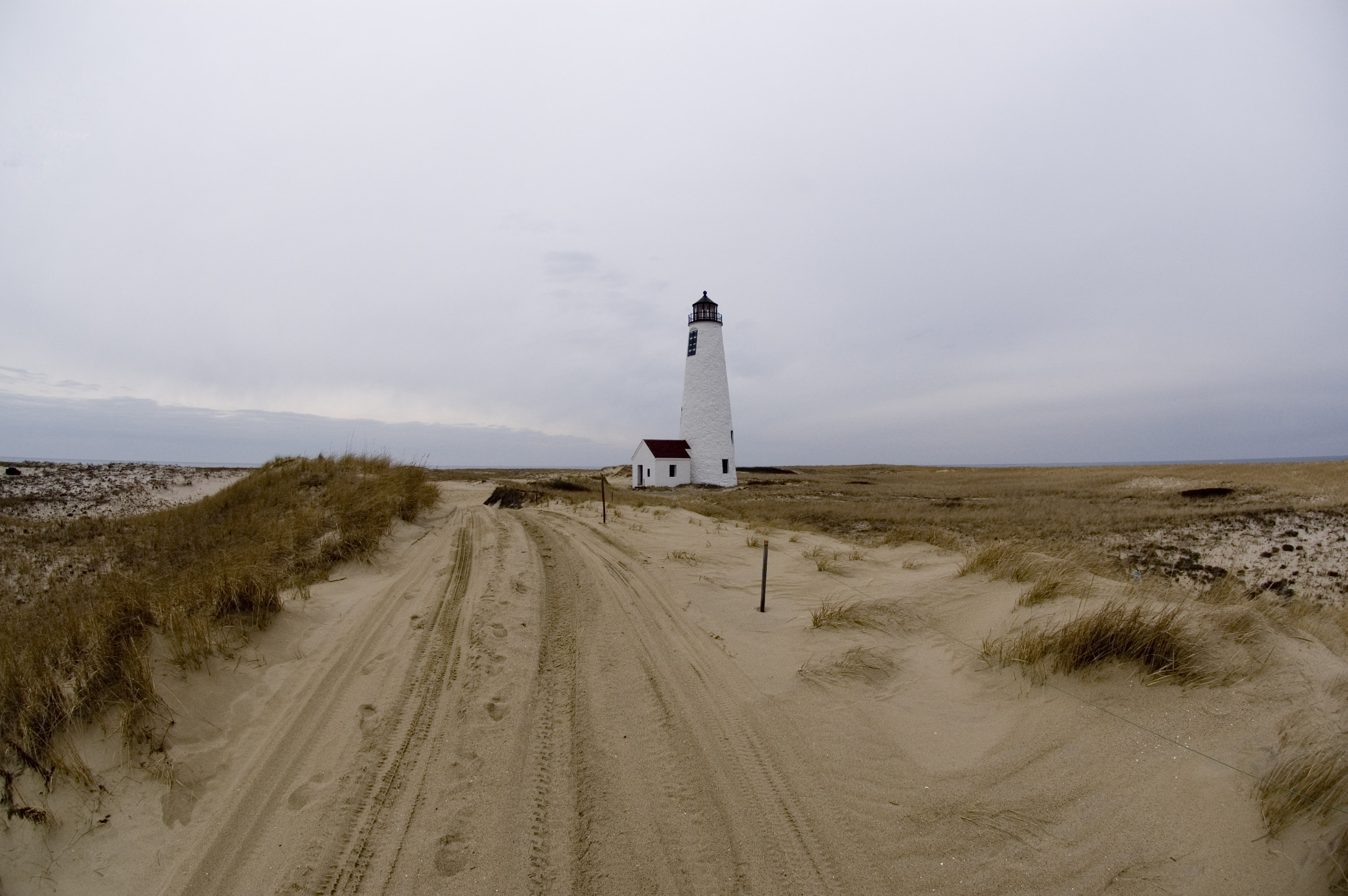
Landmark name Image Date delisted Location Summary 1 Nantucket Light 
1986 Sandy Point, Nantucket Island
41°23′25″N 71°2′54″W / 41.39028°N 71.04833°WThe original toppled in a storm in March 1984; it was replaced with a replica in 1986. See also
- List of National Historic Landmarks in Massachusetts
- National Register of Historic Places listings in Massachusetts
References
- ^ The latitude and longitude information provided in this table was derived originally from the National Register Information System, which has been found to be fairly accurate for about 99% of listings. For about 1% of NRIS original coordinates, experience has shown that one or both coordinates are typos or otherwise extremely far off; some corrections may have been made. A more subtle problem causes many locations to be off by up to 150 yards, depending on location in the country: most NRIS coordinates were derived from tracing out latitude and longitudes off of USGS topographical quadrant maps created under North American Datum of 1927, which differs from the current, highly accurate GPS system used by Google maps. Chicago is about right, but NRIS longitudes in Washington are higher by about 4.5 seconds, and are lower by about 2.0 seconds in Maine. Latitudes differ by about 1.0 second in Florida. Some locations in this table may have been corrected to current GPS standards.
- ^ "National Register of Historic Places: Weekly List Actions". National Park Service, United States Department of the Interior. Retrieved on November 4, 2011.
- ^ Numbers represent an ordering by significant words. Various colorings, defined here, differentiate National Historic Landmark sites and National Register of Historic Places Districts from other NRHP buildings, structures, sites or objects.
- ^ "National Register Information System". National Register of Historic Places. National Park Service. 2009-03-13. http://nrhp.focus.nps.gov/natreg/docs/All_Data.html.
U.S. National Register of Historic Places Topics Lists by states Alabama • Alaska • Arizona • Arkansas • California • Colorado • Connecticut • Delaware • Florida • Georgia • Hawaii • Idaho • Illinois • Indiana • Iowa • Kansas • Kentucky • Louisiana • Maine • Maryland • Massachusetts • Michigan • Minnesota • Mississippi • Missouri • Montana • Nebraska • Nevada • New Hampshire • New Jersey • New Mexico • New York • North Carolina • North Dakota • Ohio • Oklahoma • Oregon • Pennsylvania • Rhode Island • South Carolina • South Dakota • Tennessee • Texas • Utah • Vermont • Virginia • Washington • West Virginia • Wisconsin • WyomingLists by territories Lists by associated states Other  Category:National Register of Historic Places •
  Portal:National Register of Historic Places
Municipalities and communities of Nantucket County, Massachusetts County seat: Nantucket Town 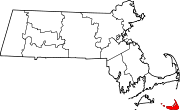
CDP Other
villagesCategories:- Nantucket County, Massachusetts
- National Register of Historic Places in Massachusetts by county
-


Wikimedia Foundation. 2010.