There are 73 properties and districts listed on the National Register in the county, including 2 National Historic Landmarks.
| [3] |
Landmark name[4] |
Image |
Date listed |
Location |
City or Town |
Summary |
| 1 |
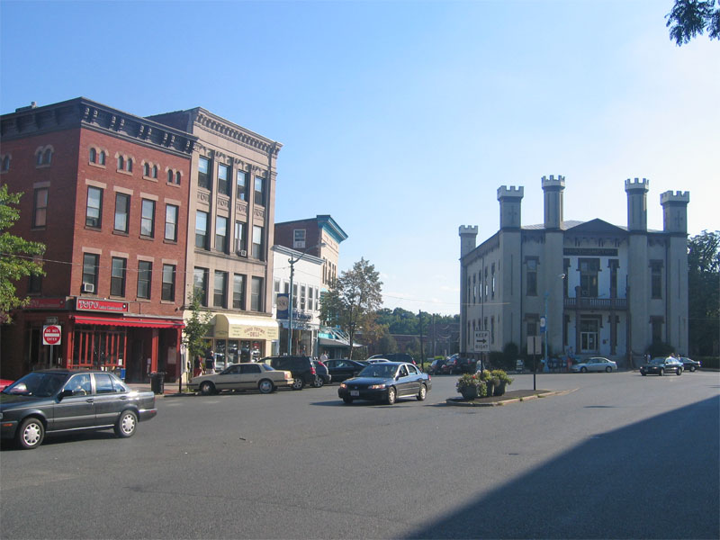
Amherst Central Business District |
 |
01991-12-27 December 27, 1991 |
1-79 Main St., 13-31 N. Pleasant St., 1-79 S. Pleasant St., 1-18 Boltwood Ave.
42°22′38″N 72°31′13″W / 42.37722°N 72.52028°W / 42.37722; -72.52028 (Amherst Central Business District)
Boundary increase (listed August 24, 2011): 30 Boltwood Ave. |
Amherst |
|
| 2 |
Amherst West Cemetery |
|
02000-05-26 May 26, 2000 |
Triangle St.
42°22′45″N 72°31′7″W / 42.37917°N 72.51861°W / 42.37917; -72.51861 (Amherst West Cemetery) |
Amherst |
|
| 3 |
Baird House |
|
01985-01-03 January 3, 1985 |
38 Shays St.
42°21′0″N 72°31′9″W / 42.35°N 72.51917°W / 42.35; -72.51917 (Baird House) |
Amherst |
|
| 4 |
Belchertown Center Historic District |
 |
01982-06-02 June 2, 1982 |
Main, Maple, Walnut, Park, and Jabish Sts.
42°16′37″N 72°24′6″W / 42.27694°N 72.40167°W / 42.27694; -72.40167 (Belchertown Center Historic District) |
Belchertown |
|
| 5 |
Belchertown State School |
|
01994-07-19 July 19, 1994 |
30 State St.
42°16′28″N 72°25′27″W / 42.27444°N 72.42417°W / 42.27444; -72.42417 (Belchertown State School) |
Belchertown |
|
| 6 |
Bisbee Mill |
|
02005-03-31 March 31, 2005 |
66 East St.
42°22′36″N 72°49′9″W / 42.37667°N 72.81917°W / 42.37667; -72.81917 (Bisbee Mill) |
Chesterfield |
|
| 7 |
Bradstreet Historic District |
|
01997-07-17 July 17, 1997 |
Roughly bounded by Connecticut R., King St. and Stratis Rd.
42°24′19″N 72°35′26″W / 42.40528°N 72.59056°W / 42.40528; -72.59056 (Bradstreet Historic District) |
Hatfield |
|
| 8 |
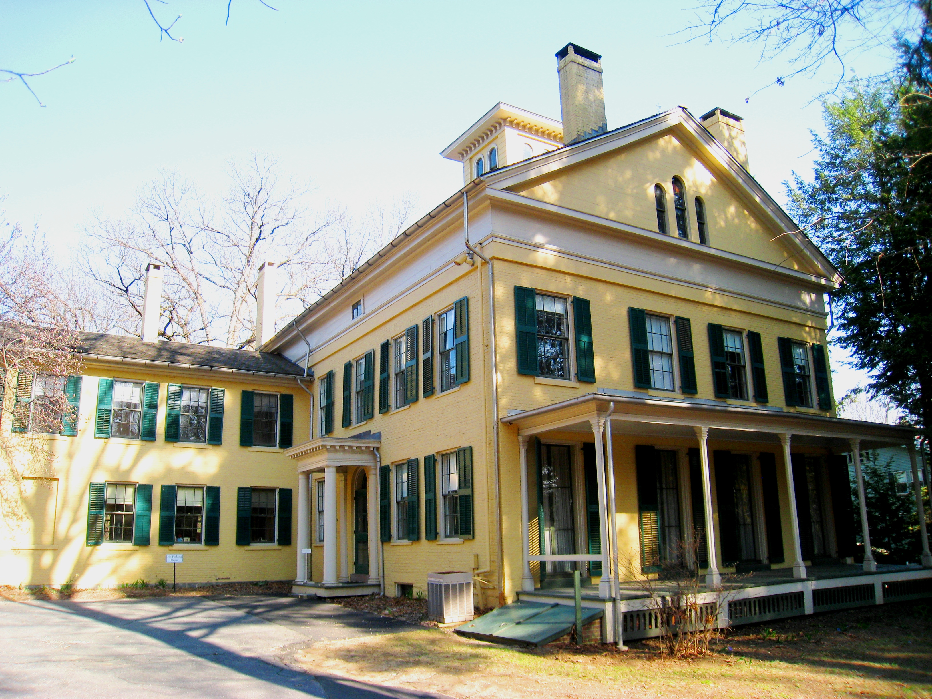
William Cullen Bryant Homestead |
 |
01966-10-15 October 15, 1966 |
2 mi (3.2 km) from Cummington a on side road
42°28′19″N 72°56′9″W / 42.47194°N 72.93583°W / 42.47194; -72.93583 (Bryant, William Cullen, Homestead) |
Cummington |
|
| 9 |
Building at 8-22 Graves Avenue |
|
01985-11-07 November 7, 1985 |
8-22 Graves Ave.
42°19′19″N 72°37′44″W / 42.32194°N 72.62889°W / 42.32194; -72.62889 (Building at 8--22 Graves Avenue) |
Northampton |
|
| 10 |
Center Cemetery |
|
02004-02-26 February 26, 2004 |
Sam Hill Rd.
42°23′40″N 72°56′36″W / 42.39444°N 72.94333°W / 42.39444; -72.94333 (Center Cemetery) |
Worthington |
|
| 11 |
Chesterfield Center Historic District |
|
02008-12-11 December 11, 2008 |
Main Rd., South St., North Rd., Bagg Rd., Bryant St.
42°23′30″N 72°50′27″W / 42.39167°N 72.84083°W / 42.39167; -72.84083 (Chesterfield Center Historic District) |
Chesterfield |
|
| 12 |
Church Street Historic District |
|
01986-05-23 May 23, 1986 |
Church St. between Park Ave. and Highland St.
42°15′57″N 72°13′53″W / 42.26583°N 72.23139°W / 42.26583; -72.23139 (Church Street Historic District) |
Ware |
|
| 13 |
Conkey-Stevens House |
 |
01979-05-10 May 10, 1979 |
664 Main St.
42°22′33″N 72°30′20″W / 42.37583°N 72.50556°W / 42.37583; -72.50556 (Conkey-Stevens House) |
Amherst |
|
| 14 |
Calvin Coolidge House |
|
01976-12-12 December 12, 1976 |
19-21 Massasoit St.
42°19′29″N 72°38′49″W / 42.32472°N 72.64694°W / 42.32472; -72.64694 (Coolidge, Calvin, House) |
Northampton |
|
| 15 |
Cushman Village Historic District |
|
01992-11-05 November 5, 1992 |
Roughly bounded by E. Leverett Rd. and Pine, Henry, Bridge and State Sts.
42°25′3″N 72°30′26″W / 42.4175°N 72.50722°W / 42.4175; -72.50722 (Cushman Village Historic District) |
Amherst |
|
| 16 |
Dickinson Historic District |
 |
01977-08-16 August 16, 1977 |
Kellogg Ave., Main, Gray, and Lessey Sts.
42°22′35″N 72°30′55″W / 42.37639°N 72.51528°W / 42.37639; -72.51528 (Dickinson Historic District) |
Amherst |
|
| 17 |
Emily Dickinson House |
 |
01966-10-15 October 15, 1966 |
280 Main St.
42°22′33″N 72°30′52″W / 42.37583°N 72.51444°W / 42.37583; -72.51444 (Dickinson, Emily, House) |
Amherst |
|
| 18 |
Dorsey-Jones House |
|
02005-09-02 September 2, 2005 |
191 Nonotuck St.
42°19′52″N 72°40′18″W / 42.33111°N 72.67167°W / 42.33111; -72.67167 (Dorsey--Jones House) |
Northampton |
Underground Railroad in Massachusetts MPS |
| 19 |
East Village Historic District |
 |
01986-07-06 July 6, 1986 |
Main, N. and S. East Sts.
42°22′36″N 72°30′4″W / 42.37667°N 72.50111°W / 42.37667; -72.50111 (East Village Historic District) |
Amherst |
|
| 20 |
Elm Street Historic District |
|
02000-12-07 December 7, 2000 |
Elm, Sunset, and Scotland Sts., Little Neponset Rd.
42°21′35″N 72°37′0″W / 42.35972°N 72.616667°W / 42.35972; -72.616667 (Elm Street Historic District) |
Hatfield |
|
| 21 |
Fort Hill Historic District |
|
01989-04-07 April 7, 1989 |
Roughly South St. from Lyman to Monroe
42°18′43″N 72°38′1″W / 42.31194°N 72.63361°W / 42.31194; -72.63361 (Fort Hill Historic District) |
Northampton |
|
| 22 |
Gate Cemetery |
|
02009-07-01 July 1, 2009 |
Ireland Street
42°23′33.5″N 72°53′2″W / 42.392639°N 72.88389°W / 42.392639; -72.88389 (Gate Cemetery) |
Chesterfield |
|
| 23 |
Goodwin Memorial African Methodist Episcopal Zion Church |
|
02000-04-28 April 28, 2000 |
Woodside Ave.
42°22′15″N 72°31′23″W / 42.37083°N 72.52306°W / 42.37083; -72.52306 (Goodwin Memorial African Methodist Episcopal Zion Church) |
Amherst |
|
| 24 |
Grove Hill Mansion |
 |
01982-08-11 August 11, 1982 |
Florence Rd. and Front St.
42°21′11″N 72°41′58″W / 42.35306°N 72.69944°W / 42.35306; -72.69944 (Grove Hill Mansion) |
Northampton |
|
| 25 |
Hadley Center Historic District |
 |
01977-12-02 December 2, 1977 |
Middle and Russell Sts.
42°20′28″N 72°35′22″W / 42.34111°N 72.58944°W / 42.34111; -72.58944 (Hadley Center Historic District) |
Hadley |
|
| 26 |
Hatfield Center Historic District |
|
01994-07-27 July 27, 1994 |
Roughly bounded by the Connecticut and Mill Rivers and Day Ave.
42°21′43″N 72°36′1″W / 42.36194°N 72.60028°W / 42.36194; -72.60028 (Hatfield Center Historic District) |
Hatfield |
|
| 27 |
Haydenville Historic District |
 |
01976-03-26 March 26, 1976 |
Main and High Sts., and Kingsley Ave.
42°22′31″N 72°42′9″W / 42.37528°N 72.7025°W / 42.37528; -72.7025 (Haydenville Historic District) |
Williamsburg |
|
| 28 |
Hockanum Rural Historic District |
|
01993-12-30 December 30, 1993 |
Area surrounding Hockanum Rd., from Hockanum Cemetery to the NE corner of Skinner State Park
42°17′52″N 72°35′53″W / 42.29778°N 72.59806°W / 42.29778; -72.59806 (Hockanum Rural Historic District) |
Hadley |
|
| 29 |
Huntington Village Historic District |
|
01999-09-15 September 15, 1999 |
Roughly along E. Main, Main, Russell, Upper Russell and Basket Sts.
42°14′7″N 72°52′54″W / 42.23528°N 72.88167°W / 42.23528; -72.88167 (Huntington Village Historic District) |
Huntington |
|
| 30 |
Ireland Street Cemetery |
|
02009-07-01 July 1, 2009 |
Ireland Street
42°21′54″N 72°53′3″W / 42.365°N 72.88417°W / 42.365; -72.88417 (Ireland Street Cemetery) |
Chesterfield |
|
| 31 |
Lincoln-Sunset Historic District |
 |
01993-02-22 February 22, 1993 |
Roughly, Lincoln Ave. from Northampton Rd. to Fearing St.
42°22′33″N 72°31′33″W / 42.37583°N 72.52583°W / 42.37583; -72.52583 (Lincoln--Sunset Historic District) |
Amherst |
|
| 32 |
Lockville Historic District |
 |
02001-01-24 January 24, 2001 |
College Hwy.
42°12′42″N 72°43′52″W / 42.21167°N 72.73111°W / 42.21167; -72.73111 (Lockville Historic District) |
Southampton |
|
| 33 |
Main Street Historic District |
 |
01986-03-17 March 17, 1986 |
Main St. between Northampton and Center Sts.
42°16′11″N 72°40′22″W / 42.26972°N 72.67278°W / 42.26972; -72.67278 (Main Street Historic District) |
Easthampton |
|
| 34 |
The Manse |
|
01976-10-14 October 14, 1976 |
54 Prospect St.
42°19′20″N 72°38′12″W / 42.32222°N 72.63667°W / 42.32222; -72.63667 (Manse, The) |
Northampton |
|
| 35 |
Middlefield-Becket Stone Arch Railroad Bridge District |
 |
01980-04-11 April 11, 1980 |
Middlefield vicinity
42°18′44″N 73°1′10″W / 42.31222°N 73.01944°W / 42.31222; -73.01944 (Middlefield-Becket Stone Arch Railroad Bridge District) |
Middlefield |
|
| 36 |
Mill-Prospect Street Historic District |
|
02002-10-22 October 22, 2002 |
Prospect, Chetnut, Bridge, School Sts., Raymond Ave., Prospect Court
42°22′31″N 72°36′47″W / 42.37528°N 72.61306°W / 42.37528; -72.61306 (Mill--Prospect Street Historic District) |
Hatfield |
|
| 37 |
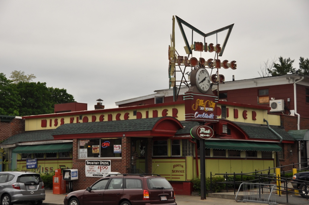
Miss Florence Diner |
 |
01999-09-22 September 22, 1999 |
99 Main St.
42°20′7″N 72°40′18″W / 42.33528°N 72.67167°W / 42.33528; -72.67167 (Miss Florence Diner) |
Florence, Northampton |
|
| 38 |
Mountain Rest |
|
01983-11-10 November 10, 1983 |
Spruce Corner Rd.
42°27′36″N 72°50′23″W / 42.46°N 72.83972°W / 42.46; -72.83972 (Mountain Rest) |
Goshen |
|
| 39 |
North Amherst Center Historic District |
|
01991-12-13 December 13, 1991 |
1184-1136 N. Pleasant St., 1-39 Pine St., 11-13 Meadow St.
42°24′33″N 72°31′52″W / 42.40917°N 72.53111°W / 42.40917; -72.53111 (North Amherst Center Historic District) |
Amherst |
|
| 40 |
North Cemetery |
|
02004-03-03 March 3, 2004 |
Cold St.
42°25′22″N 72°56′49″W / 42.42278°N 72.94694°W / 42.42278; -72.94694 (North Cemetery) |
Worthington |
|
| 41 |
North Chester Historic District |
|
01996-12-06 December 6, 1996 |
Roughly bounded by E. River, Smith, and N. Chester Rds.
42°19′35″N 72°55′53″W / 42.32639°N 72.93139°W / 42.32639; -72.93139 (North Chester Historic District) |
Chester |
|
| 42 |
North Hadley Historic District |
 |
01993-12-30 December 30, 1993 |
Roughly, area along River Dr.from Stockwell Rd. to Stockbridge St., including French, Meadow and Mt. Warner Sts.
42°23′23″N 72°34′50″W / 42.38972°N 72.58056°W / 42.38972; -72.58056 (North Hadley Historic District) |
Hadley |
|
| 43 |
North Hatfield Historic District |
|
01997-10-30 October 30, 1997 |
Roughly along West St. and Depot Rd. Between I-91 and MA 10
42°24′33″N 72°37′26″W / 42.40917°N 72.62389°W / 42.40917; -72.62389 (North Hatfield Historic District) |
Hatfield |
|
| 44 |
Northampton Downtown Historic District |
 |
01976-05-17 May 17, 1976 |
Roughly bounded by Hampton, Pearl, Strong, Bedford, Elm, MA 66, and railroad tracks
42°19′5″N 72°37′57″W / 42.31806°N 72.6325°W / 42.31806; -72.6325 (Northampton Downtown Historic District) |
Northampton |
|
| 45 |
Northampton State Hospital |
|
01994-07-25 July 25, 1994 |
1 Prince St.
42°18′45″N 72°39′16″W / 42.3125°N 72.65444°W / 42.3125; -72.65444 (Northampton State Hospital) |
Northampton |
|
| 46 |
Old Mill Site Historic District |
|
01982-06-02 June 2, 1982 |
48 and 50 Prospect St.
42°22′16″N 72°35′49″W / 42.37111°N 72.59694°W / 42.37111; -72.59694 (Old Mill Site Historic District) |
Hatfield |
|
| 47 |
Otis Company Mill No. 1 |
|
01982-05-02 May 2, 1982 |
E. Main St.
42°15′31″N 72°14′20″W / 42.25861°N 72.23889°W / 42.25861; -72.23889 (Otis Company Mill No. 1) |
Ware |
|
| 48 |
Shepherd and Damon Parsons Houses Historic District |
|
02001-06-06 June 6, 2001 |
546,58 and 66 Bridge St.
42°19′20″N 72°37′35″W / 42.32222°N 72.62639°W / 42.32222; -72.62639 (Parsons, Shepherd and Damon, Houses Historic District) |
Northampton |
|
| 49 |
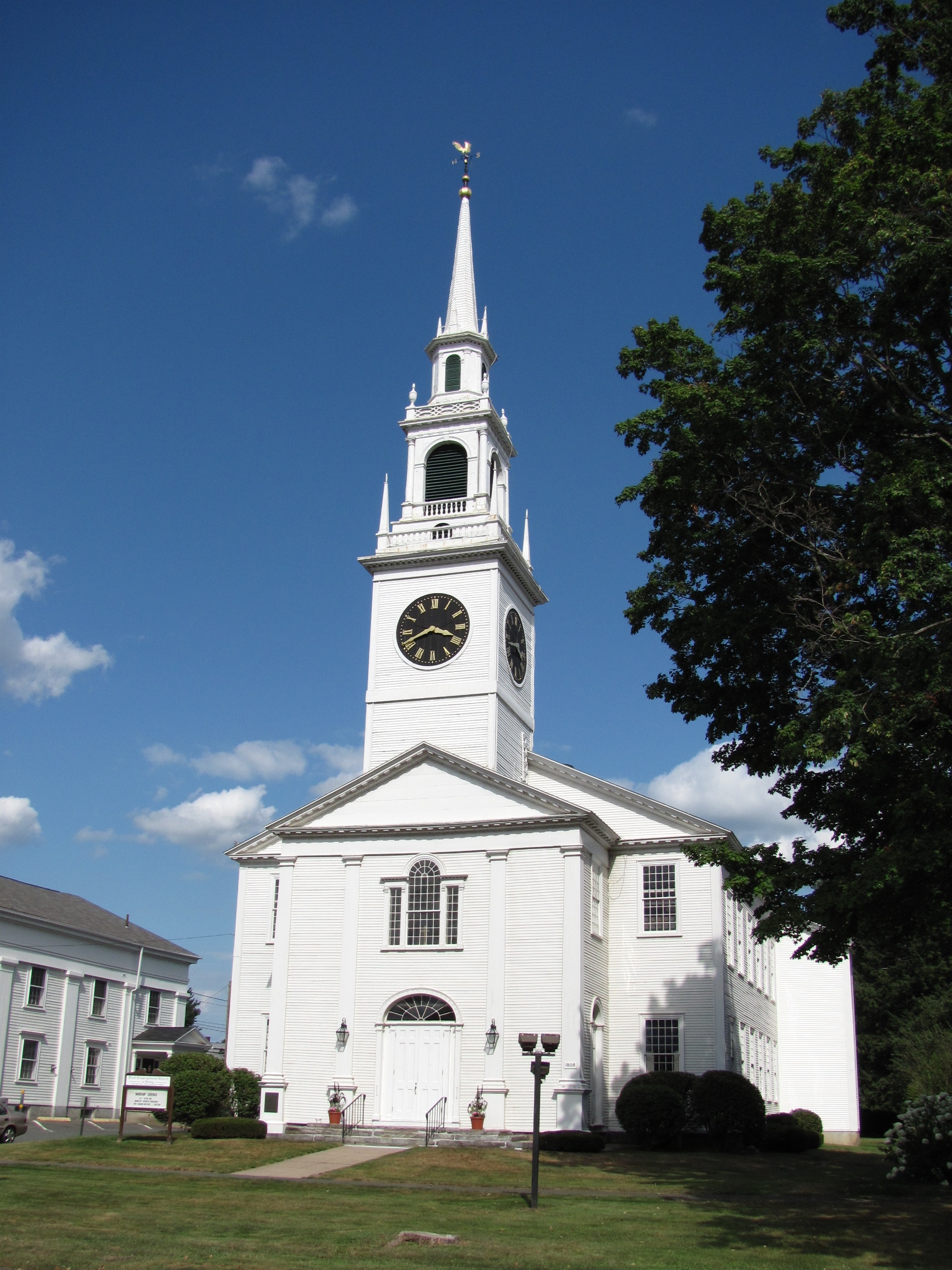
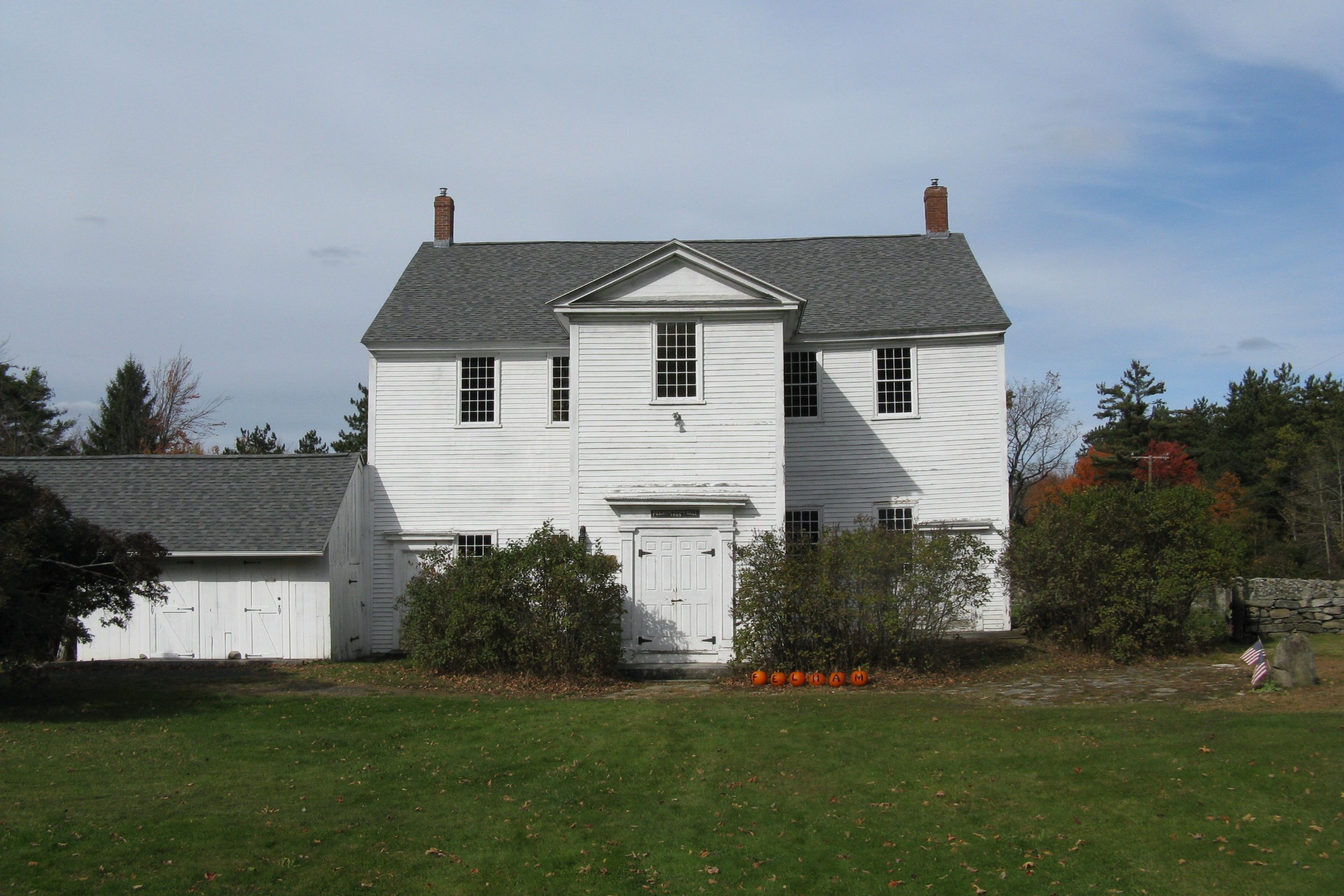
Pelham Town Hall Historic District |
 |
01971-11-23 November 23, 1971 |
Amherst Rd. at the corner of Daniel Shays Hwy.
42°23′32″N 72°24′16″W / 42.39222°N 72.40444°W / 42.39222; -72.40444 (Pelham Town Hall Historic District) |
Pelham |
|
| 50 |
Porter-Phelps-Huntington House |
 |
01973-03-26 March 26, 1973 |
130 River Dr.
42°22′19″N 72°35′24″W / 42.37194°N 72.59°W / 42.37194; -72.59 (Porter-Phelps-Huntington House) |
Hadley |
|
| 51 |
Prospect-Gaylord Historic District |
 |
01993-02-04 February 4, 1993 |
Roughly, Prospect St. from Northampton Rd. to Hallock St. and Gaylord and Amity Sts. W from Prospect toward Lincoln Ave.
42°22′33″N 72°31′22″W / 42.37583°N 72.52278°W / 42.37583; -72.52278 (Prospect--Gaylord Historic District) |
Amherst |
|
| 52 |
Ringville Cemetery |
|
02004-02-11 February 11, 2004 |
Witt Hill Rd.
42°22′13″N 72°54′56″W / 42.37028°N 72.91556°W / 42.37028; -72.91556 (Ringville Cemetery) |
Worthington |
|
| 53 |
Ross Farm |
|
02008-01-08 January 8, 2008 |
123 Meadow St.
42°20′2″N 72°40′49″W / 42.33389°N 72.68028°W / 42.33389; -72.68028 (Ross Farm) |
Northampton |
Underground Railroad in Massachusetts MPS |
| 54 |
Smith Alumnae Gymnasium |
|
01976-04-30 April 30, 1976 |
Smith College campus Green St.
42°19′1″N 72°38′18″W / 42.31694°N 72.63833°W / 42.31694; -72.63833 (Smith Alumnae Gymnasium) |
Northampton |
|
| 55 |
South Amherst Common Historic District |
 |
01995-02-17 February 17, 1995 |
445 Shays St., South Amherst Common, 979-1081 S. East St. and 324 Pomeroy Ln.
42°20′29″N 72°30′18″W / 42.34139°N 72.505°W / 42.34139; -72.505 (South Amherst Common Historic District) |
Amherst |
|
| 56 |
South Hadley Canal Historic District |
 |
01992-03-11 March 11, 1992 |
Address Restricted |
South Hadley |
|
| 57 |
South Worthington Historic District |
|
02005-09-01 September 1, 2005 |
Ireland St., Conwell Rd., Huntington Rd., Thrasher Hill Rd., Higgins Rd. S. Worthington Rd.
42°20′47″N 72°53′36″W / 42.34639°N 72.89333°W / 42.34639; -72.89333 (South Worthington Historic District) |
Worthington |
|
| 58 |
Southampton Center Historic District |
 |
01991-04-04 April 4, 1991 |
Roughly, High St. from Fomer Rd. to Maple St., College Hwy. from Clark St. to East St. and East from College to Clark
42°13′25″N 72°43′55″W / 42.22361°N 72.73194°W / 42.22361; -72.73194 (Southampton Center Historic District) |
Southampton |
|
| 59 |
Strong House |
 |
01984-07-05 July 5, 1984 |
67 Amity St.
42°22′33″N 72°31′19″W / 42.37583°N 72.52194°W / 42.37583; -72.52194 (Strong House) |
Amherst |
|
| 60 |
The Town Farm |
|
01996-09-12 September 12, 1996 |
75 Oliver St.
42°16′50″N 72°41′51″W / 42.28056°N 72.6975°W / 42.28056; -72.6975 (Town Farm, The) |
Easthampton |
|
| 61 |
Upper Main Street Historic District |
|
01994-07-22 July 22, 1994 |
Main St. from 83 Main to Cow Bridge, 1-44 King St. and 6-70 North St.
42°23′15″N 72°35′52″W / 42.3875°N 72.59778°W / 42.3875; -72.59778 (Upper Main Street Historic District) |
Hatfield |
|
| 62 |
US Post Office-Easthampton Main |
|
01986-04-01 April 1, 1986 |
19 Union St.
42°16′10″N 72°40′19″W / 42.26944°N 72.67194°W / 42.26944; -72.67194 (US Post Office--Easthampton Main) |
Easthampton |
|
| 63 |
US Post Office-South Hadley Main |
|
01986-05-28 May 28, 1986 |
1 Hadley St.
42°15′30″N 72°34′31″W / 42.25833°N 72.57528°W / 42.25833; -72.57528 (US Post Office--South Hadley Main) |
South Hadley |
|
| 64 |
Walker-Collis House |
|
01982-09-30 September 30, 1982 |
1 Stadler St.
42°16′21″N 72°24′38″W / 42.2725°N 72.41056°W / 42.2725; -72.41056 (Walker-Collis House) |
Belchertown |
|
| 65 |
Ware Center Historic District |
 |
01986-05-08 May 8, 1986 |
MA 9 and Greenwich Plains Rd.
42°15′40″N 72°16′42″W / 42.26111°N 72.27833°W / 42.26111; -72.27833 (Ware Center Historic District) |
Ware |
|
| 66 |
Ware Millyard Historic District |
 |
01986-11-21 November 21, 1986 |
Roughly bounded by South St., the Ware River, Upper Dam Complex, Park St., Otis Ave. and Church St.
42°15′33″N 72°14′17″W / 42.25917°N 72.23806°W / 42.25917; -72.23806 (Ware Millyard Historic District) |
Ware |
|
| 67 |
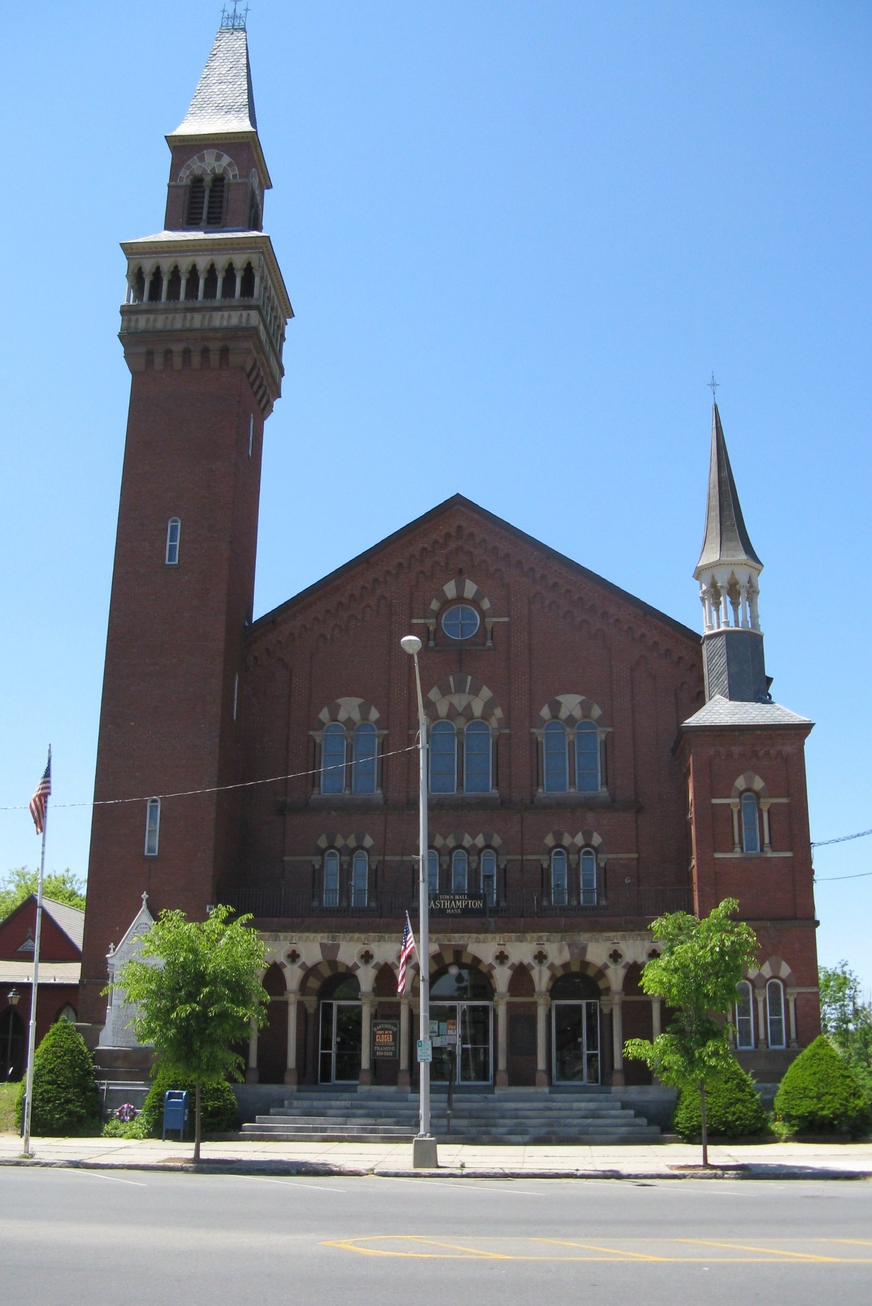
Ware Town Hall |
 |
01986-06-26 June 26, 1986 |
Main and West Sts.
42°15′36″N 72°14′35″W / 42.26°N 72.24306°W / 42.26; -72.24306 (Ware Town Hall) |
Ware |
|
| 68 |
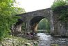
Ware-Hardwick Covered Bridge |
 |
01986-05-08 May 8, 1986 |
Old Gilbertville Rd. and Bridge St.
42°18′37″N 72°12′45″W / 42.31028°N 72.2125°W / 42.31028; -72.2125 (Ware--Hardwick Covered Bridge) |
Ware |
|
| 69 |
West Chesterfield Historic District |
|
02008-09-25 September 25, 2008 |
1-70 Ireland St. and unnumbered lots, 620-669 Main Rd., section of Cummington Rd.
42°24′12″N 72°52′37″W / 42.40333°N 72.87694°W / 42.40333; -72.87694 (West Chesterfield Historic District) |
Chesterfield |
|
| 70 |
West Hatfield Historic District |
|
02005-02-24 February 24, 2005 |
3-12 Church Ave., 2 Linseed Rd., 23-42 West St.
42°22′19″N 72°38′12″W / 42.37194°N 72.63667°W / 42.37194; -72.63667 (West Hatfield Historic District) |
Hatfield |
|
| 71 |
Westside Historic District |
|
02000-07-25 July 25, 2000 |
Baker and Snell Sts., Northampton Rd., and Hazel Ave.
42°22′0″N 72°31′51″W / 42.366667°N 72.53083°W / 42.366667; -72.53083 (Westside Historic District) |
Amherst |
|
| 72 |
Williamsburg Center Historic District |
 |
01980-06-22 June 22, 1980 |
MA 9
42°23′32″N 72°43′49″W / 42.39222°N 72.73028°W / 42.39222; -72.73028 (Williamsburg Center Historic District) |
Williamsburg |
|
| 73 |
Woodbridge Street Historic District |
|
01983-11-14 November 14, 1983 |
3 and 7 Silver St., 25-82 Woodbridge St.
42°15′52″N 72°34′21″W / 42.26444°N 72.5725°W / 42.26444; -72.5725 (Woodbridge Street Historic District) |
South Hadley |
|
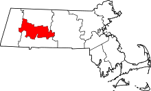 Location of Hampshire County in Massachusetts