- Westhampton, Massachusetts
Infobox Settlement
official_name = Westhampton, Massachusetts
nickname =
motto =
imagesize =
image_caption =
image_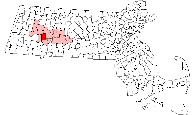
mapsize = 250px
map_caption = Location in Hampshire County in Massachusetts
mapsize1 =
map_caption1 =
subdivision_type = Country
subdivision_name =United States
subdivision_type1 = State
subdivision_name1 =Massachusetts
subdivision_type2 = County
subdivision_name2 = Hampshire
established_title = Settled
established_date = 1762
established_title2 = Incorporated
established_date2 = 1778
established_title3 =
established_date3 =
government_type =Open town meeting
leader_title =
leader_name =
leader_title1 =
leader_name1 =
area_magnitude =
area_total_km2 = 70.8
area_total_sq_mi = 27.3
area_land_km2 = 70.3
area_land_sq_mi = 27.1
area_water_km2 = 0.5
area_water_sq_mi = 0.2
population_as_of = 2000
settlement_type = Town
population_total = 1468
population_density_km2 = 20.9
population_density_sq_mi = 54.1
elevation_m = 223
elevation_ft = 730
timezone = Eastern
utc_offset = -5
timezone_DST = Eastern
utc_offset_DST = -4
latd = 42 |latm = 18 |lats = 10 |latNS = N
longd = 72 |longm = 46 |longs = 30 |longEW = W
website =
postal_code_type = ZIP code
postal_code = 01027
area_code = 413
blank_name = FIPS code
blank_info = 25-76380
blank1_name = GNIS feature ID
blank1_info = 0618210
footnotes =Westhampton is a town in Hampshire County,
Massachusetts ,United States . The population was 1,468 at the 2000 census. It is part of theSpringfield, Massachusetts Metropolitan Statistical Area.History
Westhampton was first settled in 1762 and was officially incorporated in 1778. Still till this date westhampton is a dry county.
Geography
According to the
United States Census Bureau , the town has a total area of 27.3square mile s (70.8km² ), of which, 27.1 square miles (70.3 km²) of it is land and 0.2 square miles (0.5 km²) of it (0.73%) is water.Demographics
As of the
census GR|2 of 2000, there were 1,468 people, 542 households, and 422 families residing in the town. Thepopulation density was 54.1 people per square mile (20.9/km²). There were 623 housing units at an average density of 23.0/sq mi (8.9/km²). The racial makeup of the town was 98.50% White, 0.34% Native American, 0.14% Asian, 0.27% from other races, and 0.75% from two or more races. Hispanic or Latino of any race were 0.54% of the population.There were 542 households out of which 34.3% had children under the age of 18 living with them, 69.0% were married couples living together, 5.9% had a female householder with no husband present, and 22.1% were non-families. 15.9% of all households were made up of individuals and 5.2% had someone living alone who was 65 years of age or older. The average household size was 2.71 and the average family size was 3.07.
In the town the population was spread out with 25.4% under the age of 18, 5.0% from 18 to 24, 31.0% from 25 to 44, 29.4% from 45 to 64, and 9.2% who were 65 years of age or older. The median age was 40 years. For every 100 females there were 98.4 males. For every 100 females age 18 and over, there were 97.3 males.
The median income for a household in the town was $60,089, and the median income for a family was $66,625. Males had a median income of $42,200 versus $35,809 for females. The
per capita income for the town was $25,360. About 1.9% of families and 3.5% of the population were below thepoverty line , including 4.0% of those under age 18 and 4.3% of those age 65 or over.
Wikimedia Foundation. 2010.