- Massachusetts Route 66
-
Route 66
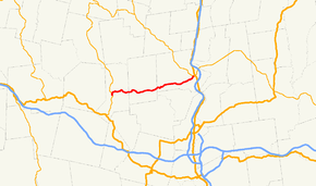
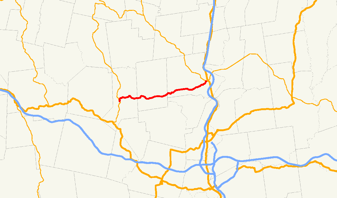
Route information Length: 13.65 mi[1] (21.97 km) Major junctions West end:  Route 112 in Huntington
East end:  Route 9 in Northampton
Highway system Massachusetts State Highway Routes
←  Route 63
Route 67  →
→Route 66 is a west–east state highway in Massachusetts.
Route 66 begins at Route 112 in the Knightville section of Huntington. It passes over Norwich Hill into the town of Westhampton, crossing through the southern end of that town into Northampton. It passes through the southwestern part of that town, passing the former Northampton State Hospital and Smith College before ending in front of Smith College at Route 9, just yards west of where that route meets Route 10. For its entire length, Route 66 does not junction any other routes.
References
External links
Categories:- Numbered routes in Massachusetts
- Massachusetts road stubs

Wikimedia Foundation. 2010.