- Massachusetts Route 41
-
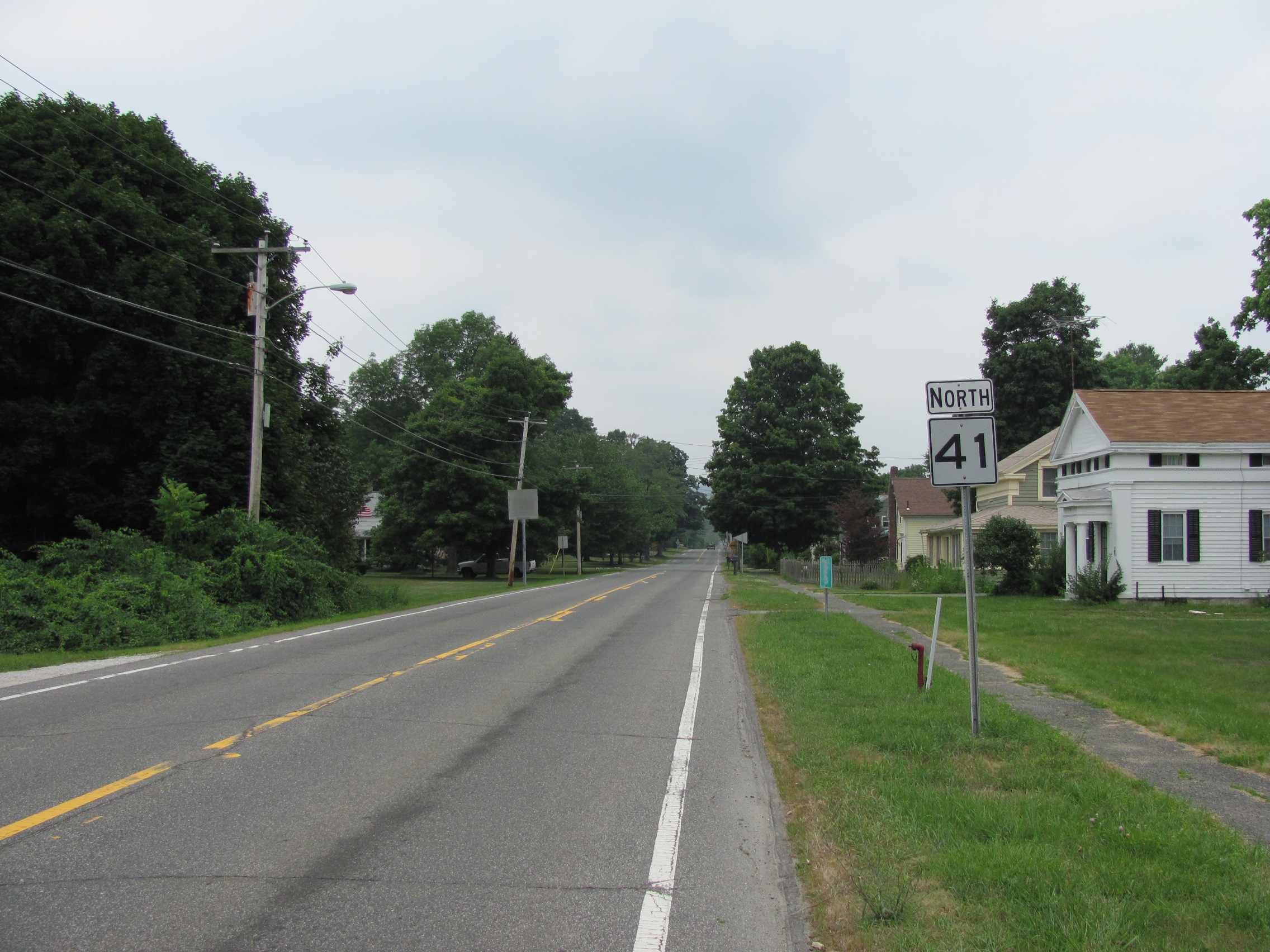
Route 41
Route information Length: 31.1588 mi[1] (50.1452 km) Existed: ca. 1932 – present Major junctions South end:  Route 41 in Salisbury, CT
 U.S. Route 7 in Great Barrington
 I-90/Mass Pike in West Stockbridge
North end:  US 20 in Pittsfield
Highway system Massachusetts State Highway Routes
←  Route 40
Route 43  →
→Route 41 is the extension of Connecticut Route 41 into Massachusetts. It begins at the Connecticut state line in Sheffield and ends at U.S. Route 20 in Pittsfield. Route 41 was the original alignment for New England Interstate Route 4 south of Great Barrington prior to 1930.

Route description
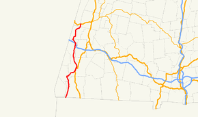
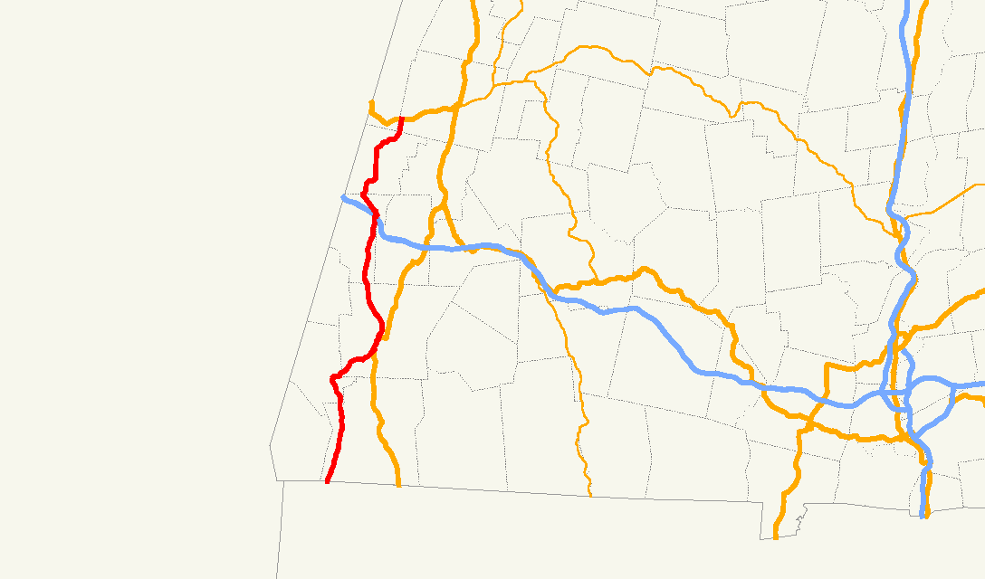
Massachusetts Route 41 begins in the southwest corner of the town of Sheffield at the Connecticut state line, where it continues as Connecticut Route 41 into the town of Salisbury. It heads mostly northbound, east of Mount Everett and the southern Taconic mountain range. In neighboring Egremont, the road becomes concurrent with Route 23, turning northeastward into Great Barrington. In Great Barrington, it meets the eastern end of Route 71 before meeting U.S. Route 7 south of the town center. South of this point, U.S. Route 7 formerly followed the path of Route 41.
The three roads head through the center of town concurrently, just east of the Housatonic River, before Route 41 leaves the concurrency just before the other two routes cross the river. Route 41 heads relatively northward into West Stockbridge, where it meets Exit 1 of the Massachusetts Turnpike. The exit is only partial; it has a westbound exit and eastbound entrance only, just west of the final toll booth on the Pike. Directly north of the Pike, Route 41 begins a short, 0.5 miles (0.80 km) concurrency with Route 102, passing Shaker Mill Pond before the routes split, with Route 41 heading northward into the town of Richmond. In Richmond, it meets the end of Route 295, which leads shortly into New York. Route 41 ends just north of the Richmond-Pittsfield line at U.S. Route 20, just east of the Hancock Shaker Village in Hancock and southwest of Pittsfield's airport and city center.
Junction list
County Location Mile Roads intersected Notes Berkshire Sheffield 0.0 CT Route 41Southern end of Massachusetts Route 41.
Northern end of Connecticut Route 41.Egremont 7.9  Route 23 West
Begin concurrency with Route 23. Great Barrington 10.3  Route 71
Eastern end of Route 71. 11.9 U.S. Route 7 SouthBegin triple concurrency with Routes 7, 23 & 41. 12.8 U.S. Route 7 North / Route 23 EastRoute 41 ends concurrency with US 7 & Route 23. West Stockbridge 22.2 I-90/Mass PikeI-90 Exit 1: Westbound exit and eastbound entrance only. 22.4  Route 102 East
Begin concurrency with Route 102. 22.9 Route 102 WestEnd concurrency with Route 102. Richmond 27.7  Route 295
Eastern end of Massachusetts Route 295. Pittsfield 31.2 U.S. Route 20Northern end of Route 41. References
Categories:- Numbered routes in Massachusetts

Wikimedia Foundation. 2010.