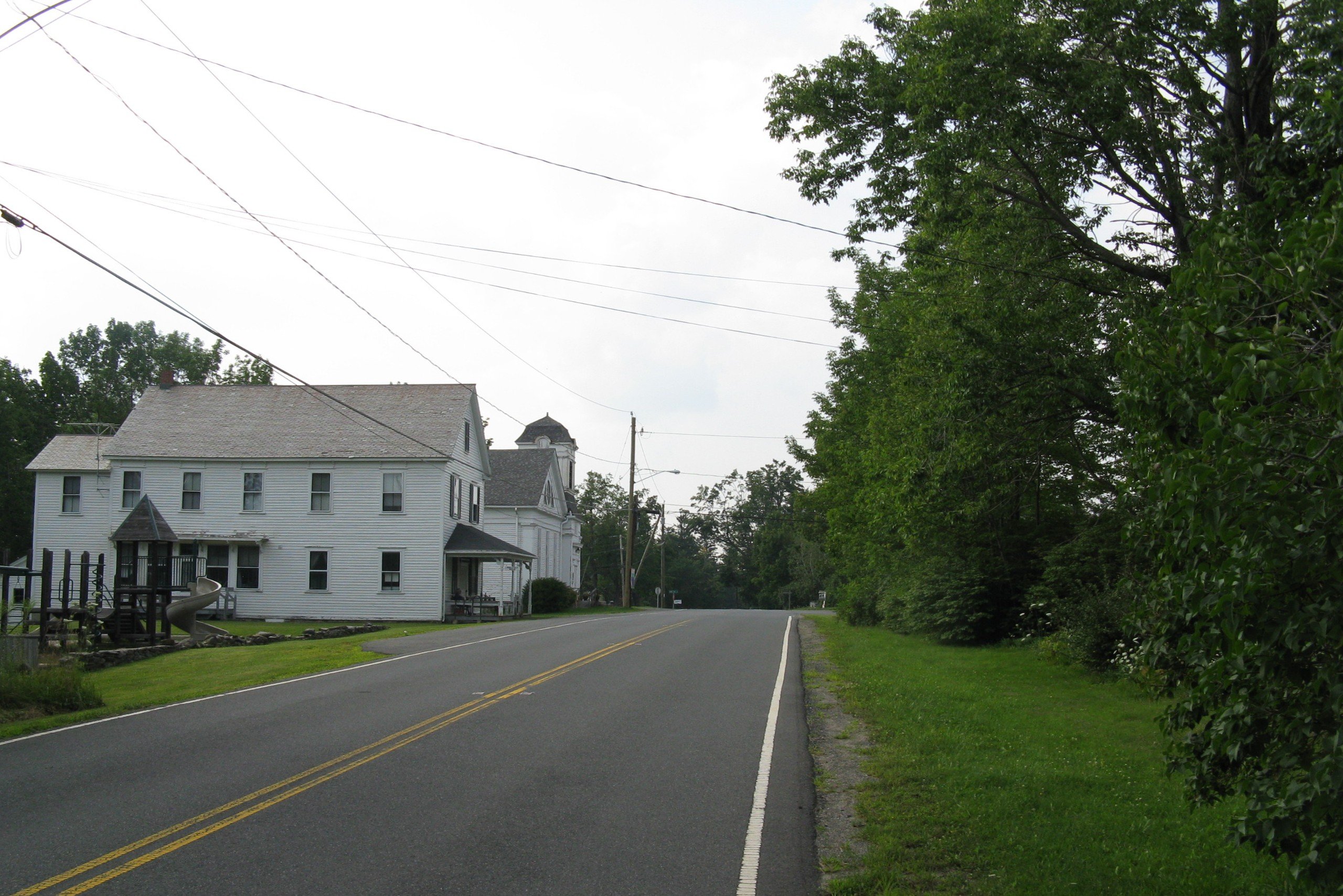
- Middlefield, Massachusetts
-
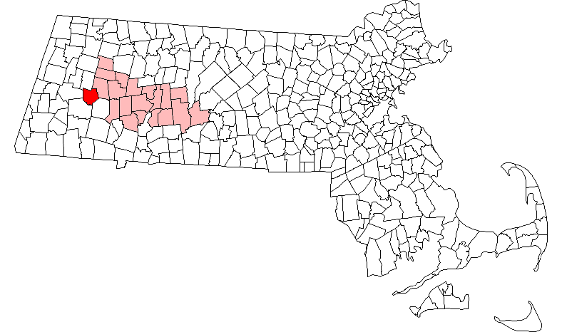
Middlefield, Massachusetts — Town — Middlefield Center Location in Hampshire County in Massachusetts
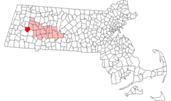
Coordinates: 42°20′54″N 73°00′56″W / 42.34833°N 73.01556°WCoordinates: 42°20′54″N 73°00′56″W / 42.34833°N 73.01556°W Country United States State Massachusetts County Hampshire Settled 1780 Incorporated 1783 Government – Type Open town meeting Area – Total 24.2 sq mi (62.6 km2) – Land 24.2 sq mi (62.6 km2) – Water 0.0 sq mi (0.0 km2) Elevation 1,677 ft (511 m) Population (2000) – Total 542 – Density 22.4/sq mi (8.6/km2) Time zone Eastern (UTC-5) – Summer (DST) Eastern (UTC-4) ZIP code 01243 Area code(s) 413 FIPS code 25-40990 GNIS feature ID 0618204 Website http://www.middlefieldma.us/ Middlefield is a town in Hampshire County, Massachusetts, United States. The population was 542 at the 2000 census. It is part of the Springfield, Massachusetts Metropolitan Statistical Area.
Contents
History
Middlefield was first settled in 1780 and was officially incorporated in 1783.
Geography
According to the United States Census Bureau, the town has a total area of 24.2 square miles (63 km2), of which, 24.2 square miles (63 km2) of it is land and 0.04% is water. There is also a small dirt airstrip in Middlefield.
Demographics
Historical populations Year Pop. ±% 1850 737 — 1860 748 +1.5% 1870 728 −2.7% 1880 648 −11.0% 1890 455 −29.8% 1900 410 −9.9% 1910 354 −13.7% 1920 280 −20.9% 1930 197 −29.6% 1940 201 +2.0% 1950 295 +46.8% 1960 315 +6.8% 1970 288 −8.6% 1980 385 +33.7% 1990 392 +1.8% 2000 542 +38.3% 2001* 541 −0.2% 2002* 542 +0.2% 2003* 546 +0.7% 2004* 543 −0.5% 2005* 545 +0.4% 2006* 547 +0.4% 2007* 553 +1.1% 2008* 557 +0.7% 2009* 556 −0.2% 2010 521 −6.3% * = population estimate.
Source: United States Census records and Population Estimates Program data.[1][2][3][4][5][6][7][8][9][10]As of the census[11] of 2000, there were 542 people, 213 households, and 161 families residing in the town. The population density was 22.4 people per square mile (8.7/km²). There were 263 housing units at an average density of 10.9 per square mile (4.2/km²). The racial makeup of the town was 98.89% White, 0.18% African American, 0.18% Native American, 0.18% from other races, and 0.55% from two or more races. Hispanic or Latino of any race were 0.55% of the population.
There were 213 households out of which 28.6% had children under the age of 18 living with them, 66.7% were married couples living together, 5.2% had a female householder with no husband present, and 24.4% were non-families. 17.4% of all households were made up of individuals and 6.1% had someone living alone who was 65 years of age or older. The average household size was 2.54 and the average family size was 2.86.
In the town the population was spread out with 23.1% under the age of 18, 5.9% from 18 to 24, 31.2% from 25 to 44, 30.3% from 45 to 64, and 9.6% who were 65 years of age or older. The median age was 40 years. For every 100 females there were 103.8 males. For every 100 females age 18 and over, there were 101.4 males.
The median income for a household in the town was $50,938, and the median income for a family was $53,889. Males had a median income of $35,208 versus $30,375 for females. The per capita income for the town was $24,137. About 7.3% of families and 8.6% of the population were below the poverty line, including 9.2% of those under age 18 and none of those age 65 or over.
Government
The town is part of the Second Berkshire District in the Massachusetts House of Representatives, represented by Paul Mark, and the Berkshire, Franklin, and Hampshire Senate district, represented by Ben Downing.
Notable residents
- Ebenezer Emmons, geologist
References
- ^ "TOTAL POPULATION (P1), 2010 Census Summary File 1, All County Subdivisions within Massachusetts". United States Census Bureau. http://factfinder2.census.gov/bkmk/table/1.0/en/DEC/10_SF1/P1/0400000US25.06000. Retrieved September 13, 2011.
- ^ "Massachusetts by Place and County Subdivision - GCT-T1. Population Estimates". United States Census Bureau. http://factfinder.census.gov/servlet/GCTTable?_bm=y&-geo_id=04000US25&-_box_head_nbr=GCT-T1&-ds_name=PEP_2009_EST&-_lang=en&-format=ST-9&-_sse=on. Retrieved July 12, 2011.
- ^ "1990 Census of Population, General Population Characteristics: Massachusetts". US Census Bureau. December 1990. Table 76: General Characteristics of Persons, Households, and Families: 1990. 1990 CP-1-23. http://www.census.gov/prod/cen1990/cp1/cp-1-23.pdf. Retrieved July 12, 2011.
- ^ "1980 Census of the Population, Number of Inhabitants: Massachusetts". US Census Bureau. December 1981. Table 4. Populations of County Subdivisions: 1960 to 1980. PC80-1-A23. http://www2.census.gov/prod2/decennial/documents/1980a_maABC-01.pdf. Retrieved July 12, 2011.
- ^ "1950 Census of Population". Bureau of the Census. 1952. Section 6, Pages 21-10 and 21-11, Massachusetts Table 6. Population of Counties by Minor Civil Divisions: 1930 to 1950. http://www2.census.gov/prod2/decennial/documents/23761117v1ch06.pdf. Retrieved July 12, 2011.
- ^ "1920 Census of Population". Bureau of the Census. Number of Inhabitants, by Counties and Minor Civil Divisions. Pages 21-5 through 21-7. Massachusetts Table 2. Population of Counties by Minor Civil Divisions: 1920, 1910, and 1920. http://www2.census.gov/prod2/decennial/documents/41084506no553ch2.pdf. Retrieved July 12, 2011.
- ^ "1890 Census of the Population". Department of the Interior, Census Office. Pages 179 through 182. Massachusetts Table 5. Population of States and Territories by Minor Civil Divisions: 1880 and 1890. http://www2.census.gov/prod2/decennial/documents/41084506no553ch2.pdf. Retrieved July 12, 2011.
- ^ "1870 Census of the Population". Department of the Interior, Census Office. 1872. Pages 217 through 220. Table IX. Population of Minor Civil Divisions, &c. Massachusetts. http://www2.census.gov/prod2/decennial/documents/1870e-05.pdf. Retrieved July 12, 2011.
- ^ "1860 Census". Department of the Interior, Census Office. 1864. Pages 220 through 226. State of Massachusetts Table No. 3. Populations of Cities, Towns, &c.. http://www2.census.gov/prod2/decennial/documents/1860a-08.pdf. Retrieved July 12, 2011.
- ^ "1850 Census". Department of the Interior, Census Office. 1854. Pages 338 through 393. Populations of Cities, Towns, &c.. http://www2.census.gov/prod2/decennial/documents/1850c-11.pdf. Retrieved July 12, 2011.
- ^ "American FactFinder". United States Census Bureau. http://factfinder.census.gov. Retrieved 2008-01-31.
External links
- MHC Survey Reconnaissance Town Report: Middlefield Massachusetts Historical Commission, 1982.
Municipalities and communities of Hampshire County, Massachusetts Cities 
Towns Amherst | Belchertown | Chesterfield | Cummington | Goshen | Granby | Hadley | Hatfield | Huntington | Middlefield | Pelham | Plainfield | South Hadley | Southampton | Ware | Westhampton | Williamsburg | Worthington
CDPs Amherst Center | Bondsville‡ | Belchertown | Granby | Hatfield | North Amherst | South Amherst | Ware
Other
villagesFootnotes ‡This populated place also has portions in an adjacent county or counties
Categories:- Towns in Hampshire County, Massachusetts
- Springfield, Massachusetts metropolitan area

Wikimedia Foundation. 2010.