- Pelham, Massachusetts
Infobox Settlement
official_name = Pelham, Massachusetts
nickname =
motto =
imagesize =
image_caption =
image_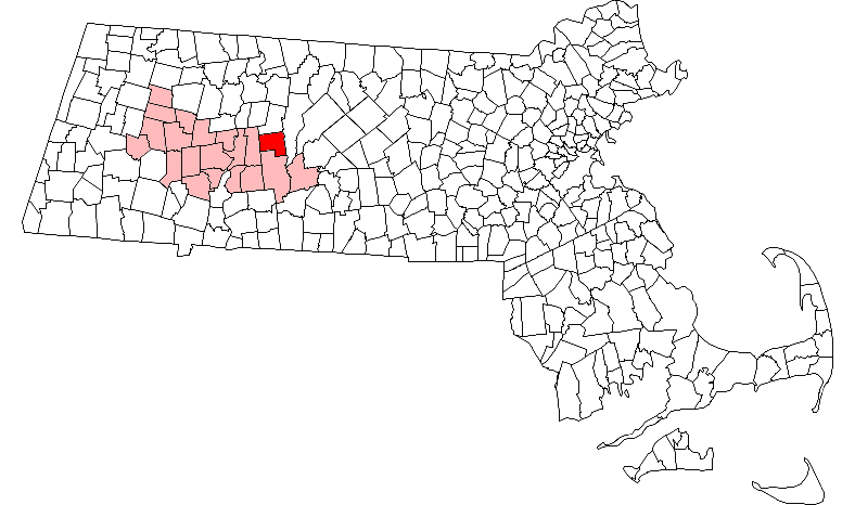
mapsize = 250px
map_caption = Location in Hampshire County in Massachusetts
mapsize1 =
map_caption1 =
subdivision_type = Country
subdivision_name =United States
subdivision_type1 = State
subdivision_name1 =Massachusetts
subdivision_type2 = County
subdivision_name2 = Hampshire
established_title = Settled
established_date = 1738
established_title2 = Incorporated
established_date2 = 1743
established_title3 =
established_date3 =
government_type =Open town meeting
leader_title =
leader_name =
leader_title1 =
leader_name1 =
area_magnitude =
area_total_km2 = 68.6
area_total_sq_mi = 26.5
area_land_km2 = 64.9
area_land_sq_mi = 25.1
area_water_km2 = 3.7
area_water_sq_mi = 1.4
population_as_of = 2000
settlement_type = Town
population_total = 1403
population_density_km2 = 21.6
population_density_sq_mi = 56.0
elevation_m = 349
elevation_ft = 1146
timezone = Eastern
utc_offset = -5
timezone_DST = Eastern
utc_offset_DST = -4
latd = 42 |latm = 23 |lats = 35 |latNS = N
longd = 72 |longm = 24 |longs = 15 |longEW = W
website = [http://www.townofpelham.org www.townofpelham.org]
postal_code_type = ZIP code
postal_code = 01002
area_code = 413
blank_name = FIPS code
blank_info = 25-52560
blank1_name = GNIS feature ID
blank1_info = 0618205
footnotes =Pelham is a town in Hampshire County,
Massachusetts ,United States . The population was 1,403 at the 2000 census. It shares the same zip code as Amherst.Pelham is part of the
Springfield, Massachusetts Metropolitan Statistical Area.History
Pelham was first settled in 1738 and was officially incorporated in 1743. The name is properly pronounced "pel-am;" the "h" is silent. Emphasis is on the first syllable.
Pelham was the homeplace of
Daniel Shays , leader of Shays' Rebellion, an uprising to stop declining economic conditions inMassachusetts from 1786 to 1787.Pelham holds the distinction of having the oldest
town hall in continuous use in the United States. [ [http://www.townofpelham.org/about_pelham.html Town of Pelham, Massachusetts ] ] Atown meeting is held there for that primary purpose each year.Geography
According to the
United States Census Bureau , the town has a total area of 26.5square mile s (68.6km² ), of which, 25.1 square miles (64.9 km²) of it is land and 1.4 square miles (3.7 km²) of it (5.40%) is water.Pelham now contains a portion of Enfield, Massachusetts, one of the four towns that were discontinued in 1938 to make way for the
Quabbin Reservoir .Demographics
As of 2000, the US censusGR|2 records there were 1,403 people, 545 households, and 382 families residing in the town. The
population density was 56.0 people per square mile (21.6/km²). There were 556 housing units at an average density of 22.2/sq mi (8.6/km²). The racial makeup of the town was 95.08% White, 1.43% African American, 1.07% Asian, 0.64% from other races, and 1.78% from two or more races. Hispanic or Latino of any race were 1.85% of the population.There were 545 households out of which 32.5% had children under the age of 18 living with them, 58.2% were married couples living together, 8.6% had a female householder with no husband present, and 29.9% were non-families. 19.8% of all households were made up of individuals and 6.2% had someone living alone who was 65 years of age or older. The average household size was 2.57 and the average family size was 2.95.
In the town the population was spread out with 23.2% under the age of 18, 7.7% from 18 to 24, 24.4% from 25 to 44, 32.1% from 45 to 64, and 12.5% who were 65 years of age or older. The median age was 42 years. For every 100 females there were 99.9 males. For every 100 females age 18 and over, there were 94.1 males.
The median income for a household in the town was $61,339, and the median income for a family was $71,667. Males had a median income of $50,435 versus $33,500 for females. The
per capita income for the town was $29,821. About 2.6% of families and 4.9% of the population were below thepoverty line , including 3.1% of those under age 18 and 5.8% of those age 65 or over.Notable Residents
Andrew O'Connor-Watts
Brian Fuller
Peter Fenton
Jeff Cahill
Luke Brown
Joey Aldrich
Jimmy Aldrich
Jerry Aldrich
Jordi Aldrich
References
External links
* [http://www.townofpelham.org/ Official site]
Wikimedia Foundation. 2010.