- Chesterfield, Massachusetts
-
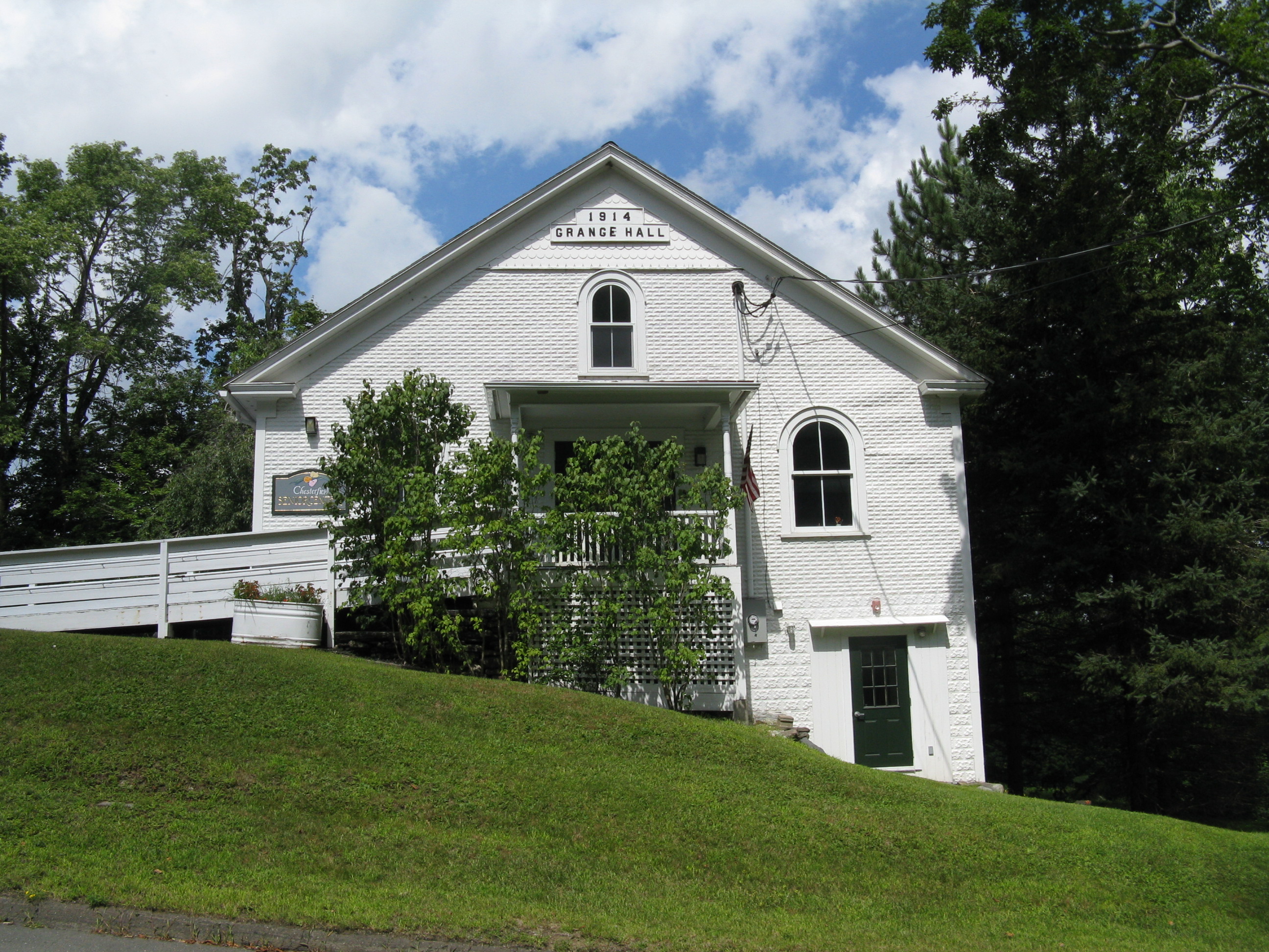
Chesterfield, Massachusetts — Town — Senior Center/Grange Building
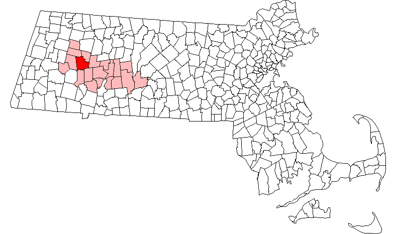
SealLocation in Hampshire County in Massachusetts
Coordinates: 42°23′30″N 72°50′25″W / 42.39167°N 72.84028°WCoordinates: 42°23′30″N 72°50′25″W / 42.39167°N 72.84028°W Country United States State Massachusetts County Hampshire Settled 1760 Incorporated 1762 Government – Type Open town meeting Area – Total 31.3 sq mi (81.0 km2) – Land 31.1 sq mi (80.5 km2) – Water 0.2 sq mi (0.5 km2) Elevation 1,427 ft (435 m) Population (2000) – Total 1,201 – Density 38.6/sq mi (14.9/km2) Time zone Eastern (UTC-5) – Summer (DST) Eastern (UTC-4) ZIP code 01012 Area code(s) 413 FIPS code 25-13590 GNIS feature ID 0618197 Website http://www.townofchesterfieldma.com Chesterfield is a rural hill town in Hampshire County, Massachusetts, United States, 28 miles southeast of Pittsfield and 108 miles west of Boston. The population was 1,201 at the 2000 census. It is part of the Springfield, Massachusetts Metropolitan Statistical Area.
Contents
History
Chesterfield was first settled in 1760 and was officially incorporated in 1762. It was named after the Earl of Chesterfield.[1] The town center, established after the Revolution, has well-preserved Federal Period houses along Main Road. In its early days, the town supported a largely agricultural economy, with wool from Merino sheep as a major product. However, there were sawmills and tanneries in operation as well as cloth dressing mills, and in the early 19th century these superseded farming and brought in a small immigrant population that was mostly Irish. Progress wiped out most of the industry in Chesterfield and by the turn of the century a re-emerging agricultural economy developed alongside the growing trade from summer residents.
Geography
According to the United States Census Bureau, the town has a total area of 31.3 square miles (81 km2), of which 31.1 square miles (81 km2) is land and 0.2 square miles (0.52 km2) (0.61%) is water. Chesterfield's location is nearly equidistant from the northern, southern and western state lines of Massachusetts.
Points of interest
- Chesterfield Gorge, a property of the Trustees of Reservations.
Demographics
Historical populations Year Pop. ±% 1850 1,014 — 1860 897 −11.5% 1870 811 −9.6% 1880 760 −6.3% 1890 608 −20.0% 1900 611 +0.5% 1910 536 −12.3% 1920 441 −17.7% 1930 420 −4.8% 1940 422 +0.5% 1950 496 +17.5% 1960 556 +12.1% 1970 704 +26.6% 1980 1,000 +42.0% 1990 1,048 +4.8% 2000 1,201 +14.6% 2001* 1,222 +1.7% 2002* 1,229 +0.6% 2003* 1,246 +1.4% 2004* 1,258 +1.0% 2005* 1,265 +0.6% 2006* 1,273 +0.6% 2007* 1,280 +0.5% 2008* 1,286 +0.5% 2009* 1,291 +0.4% 2010 1,222 −5.3% * = population estimate.
Source: United States Census records and Population Estimates Program data.[2][3][4][5][6][7][8][9][10][11]At the 2000 census[12], there were 1,201 people, 447 households and 324 families residing in the town. The population density was 38.6 per square mile (14.9/km²). There were 524 housing units at an average density of 16.8 per square mile (6.5/km²). The racial makeup of the town was 98.67% White, 0.25% Asian, 0.25% Pacific Islander, 0.08% from other races, and 0.75% from two or more races. Hispanic or Latino of any race were 0.08% of the population.
There were 447 households of which 34.0% had children under the age of 18 living with them, 60.6% were married couples living together, 7.8% had a female householder with no husband present, and 27.3% were non-families. 18.8% of all households were made up of individuals and 6.5% had someone living alone who was 65 years of age or older. The average household size was 2.69 and the average family size was 3.09.
25.7% of the population were under the age of 18, 6.1% from 18 to 24, 29.8% from 25 to 44, 28.6% from 45 to 64, and 9.7% who were 65 years of age or older. The median age was 54 years. For every 100 females there were 99.5 males. For every 100 females age 18 and over, there were 96.0 males.
The median household income was $49,063 and the median family income was $57,361. Males had a median income of $35,417 versus $27,788 for females. The per capita income for the town was $19,220. About 3.4% of families and 5.7% of the population were below the poverty line, including 5.7% of those under age 18 and 3.4% of those age 65 or over.
References
- ^ "Profile for Chesterfield, Massachusetts". ePodunk. http://www.epodunk.com/cgi-bin/genInfo.php?locIndex=2907. Retrieved 2010-05-18.
- ^ "TOTAL POPULATION (P1), 2010 Census Summary File 1, All County Subdivisions within Massachusetts". United States Census Bureau. http://factfinder2.census.gov/bkmk/table/1.0/en/DEC/10_SF1/P1/0400000US25.06000. Retrieved September 13, 2011.
- ^ "Massachusetts by Place and County Subdivision - GCT-T1. Population Estimates". United States Census Bureau. http://factfinder.census.gov/servlet/GCTTable?_bm=y&-geo_id=04000US25&-_box_head_nbr=GCT-T1&-ds_name=PEP_2009_EST&-_lang=en&-format=ST-9&-_sse=on. Retrieved July 12, 2011.
- ^ "1990 Census of Population, General Population Characteristics: Massachusetts". US Census Bureau. December 1990. Table 76: General Characteristics of Persons, Households, and Families: 1990. 1990 CP-1-23. http://www.census.gov/prod/cen1990/cp1/cp-1-23.pdf. Retrieved July 12, 2011.
- ^ "1980 Census of the Population, Number of Inhabitants: Massachusetts". US Census Bureau. December 1981. Table 4. Populations of County Subdivisions: 1960 to 1980. PC80-1-A23. http://www2.census.gov/prod2/decennial/documents/1980a_maABC-01.pdf. Retrieved July 12, 2011.
- ^ "1950 Census of Population". Bureau of the Census. 1952. Section 6, Pages 21-10 and 21-11, Massachusetts Table 6. Population of Counties by Minor Civil Divisions: 1930 to 1950. http://www2.census.gov/prod2/decennial/documents/23761117v1ch06.pdf. Retrieved July 12, 2011.
- ^ "1920 Census of Population". Bureau of the Census. Number of Inhabitants, by Counties and Minor Civil Divisions. Pages 21-5 through 21-7. Massachusetts Table 2. Population of Counties by Minor Civil Divisions: 1920, 1910, and 1920. http://www2.census.gov/prod2/decennial/documents/41084506no553ch2.pdf. Retrieved July 12, 2011.
- ^ "1890 Census of the Population". Department of the Interior, Census Office. Pages 179 through 182. Massachusetts Table 5. Population of States and Territories by Minor Civil Divisions: 1880 and 1890. http://www2.census.gov/prod2/decennial/documents/41084506no553ch2.pdf. Retrieved July 12, 2011.
- ^ "1870 Census of the Population". Department of the Interior, Census Office. 1872. Pages 217 through 220. Table IX. Population of Minor Civil Divisions, &c. Massachusetts. http://www2.census.gov/prod2/decennial/documents/1870e-05.pdf. Retrieved July 12, 2011.
- ^ "1860 Census". Department of the Interior, Census Office. 1864. Pages 220 through 226. State of Massachusetts Table No. 3. Populations of Cities, Towns, &c.. http://www2.census.gov/prod2/decennial/documents/1860a-08.pdf. Retrieved July 12, 2011.
- ^ "1850 Census". Department of the Interior, Census Office. 1854. Pages 338 through 393. Populations of Cities, Towns, &c.. http://www2.census.gov/prod2/decennial/documents/1850c-11.pdf. Retrieved July 12, 2011.
- ^ "American FactFinder". United States Census Bureau. http://factfinder.census.gov. Retrieved 2008-01-31.
External links
- MHC Survey Reconnaissance Town Report: Chesterfield" Massachusetts Historical Commission, 1982.
Municipalities and communities of Hampshire County, Massachusetts Cities 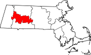
Towns Amherst | Belchertown | Chesterfield | Cummington | Goshen | Granby | Hadley | Hatfield | Huntington | Middlefield | Pelham | Plainfield | South Hadley | Southampton | Ware | Westhampton | Williamsburg | Worthington
CDPs Amherst Center | Bondsville‡ | Belchertown | Granby | Hatfield | North Amherst | South Amherst | Ware
Other
villagesFootnotes ‡This populated place also has portions in an adjacent county or counties
Categories:- Towns in Hampshire County, Massachusetts
- Springfield, Massachusetts metropolitan area


Wikimedia Foundation. 2010.