- Watuppa Ponds
-
Watuppa Ponds 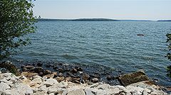
South Watuppa Pond Location Fall River and Westport, Massachusetts Coordinates 41°41′00″N 71°07′00″W / 41.6833333°N 71.1166667°WCoordinates: 41°41′00″N 71°07′00″W / 41.6833333°N 71.1166667°W Primary inflows Sucker Brook Primary outflows Quequechan River Basin countries United States Surface area North 1,805 acres (730 ha)
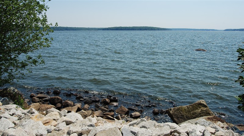
South 1,551 acres (628 ha)Sections/sub-basins South Wattupa Pond, North Wattupa Pond The Watuppa Ponds are two large, naturally occurring, spring-fed, glacially formed ponds located in Fall River and Westport, Massachusetts. The two ponds were originally one, connected by a narrow channel near what is now the boundary between Fall River and Westport.
North Watuppa Pond (1,805 acres) is the second-largest[1] naturally occurring body of water within Massachusetts, has been used as the City of Fall River's primary drinking water supply since the 19th century, and drains into South Watuppa Pond by a small stream channel in an area known as the Narrows. An ice house was also built in 1864 along the shores of North Watuppa Pond and operated during the 19th Century, the remains of which are still standing, although greatly covered by overgrown woods in recent years. The North Watuppa Pond is patrolled by the City's Water Department, and all activities including fishing, boating, swimming or skating are strictly prohibited.
South Watuppa Pond (1,551 acres) is ranked as the third-largest naturally occurring body of water within Massachusetts, and is also fed by Sucker Brook near its eastern shore which flows from Stafford Pond in nearby Tiverton, Rhode Island. The ponds are drained by the Quequechan River, which flows in a westerly direction through the center of Fall River from South Watuppa Pond to Mount Hope Bay.
Historically, several textile factories have been located on the shores of the South Watuppa Pond, including the Fall River Bleachery and the Kerr Thread Mills. South Watuppa Pond is currently surrounded by many private residences, and public access is fairly limited.
South Watuppa Pond is a popular fishing area with boat access from a city-managed public boat ramp located off the end of Jefferson Street, in an area known as "Dave's Beach". Some common fish species in the pond include Largemouth bass, Smallmouth bass, Tiger muskie, White perch and Black Crappie.[2]
In 1963, Interstate 195 was constructed through the "Narrows" dividing North and South Watuppa Ponds. U.S. Route 6 also crosses the pond at this location, parallel to the interstate.
See also
References
- ^ Citizens Information Service
- ^ The Official Website of the Massachusetts Department of Fish and Game
Categories:- Lakes of Massachusetts
- Landforms of Bristol County, Massachusetts
- Fall River, Massachusetts
- Westport, Massachusetts
Wikimedia Foundation. 2010.