- National Register of Historic Places listings in Knox County, Tennessee
-
 Location of Knox County in Tennessee
 1919 Map of Knoxville
This is a list of the National Register of Historic Places listings in Knox County, Tennessee.
This is intended to be a complete list of the properties and districts on the National Register of Historic Places in Knox County, Tennessee, United States. Latitude and longitude coordinates are provided for many National Register properties and districts; these locations may be seen together in a Google map.[1]
There are 102 properties and districts listed on the National Register in the county, including 1 National Historic Landmark.
Contents: Counties in Tennessee Anderson – Bedford – Benton – Bledsoe – Blount – Bradley – Campbell – Cannon – Carroll – Carter – Cheatham – Chester – Claiborne – Clay – Cocke – Coffee – Crockett – Cumberland – Davidson – Decatur – DeKalb – Dickson – Dyer – Fayette – Fentress – Franklin – Gibson – Giles – Grainger – Greene – Grundy – Hamblen – Hamilton – Hancock – Hardeman – Hardin – Hawkins – Haywood – Henderson – Henry – Hickman – Houston – Humphreys – Jackson – Jefferson – Johnson – Knox – Lake – Lauderdale – Lawrence – Lewis – Lincoln – Loudon – Macon – Madison – Marion – Marshall – Maury – McMinn – McNairy – Meigs – Monroe – Montgomery – Moore – Morgan – Obion – Overton – Perry – Pickett – Polk – Putnam – Rhea – Roane – Robertson – Rutherford – Scott – Sequatchie – Sevier – Shelby – Smith – Stewart – Sullivan – Sumner – Tipton – Trousdale – Unicoi – Union – Van Buren – Warren – Washington – Wayne – Weakley – White – Williamson – Wilson -
- This National Park Service list is complete through NPS recent listings posted November 10, 2011.[2]
History
 1871 Rendering of Knoxville, looking to the north-northwest
The earliest settlers in what is now Knox County were Native Americans - the Indian mound is the primary "built structure" that remains from their era. Beginning with explorer Hernando de Soto, who traveled near the county, the earliest Europeans were not settlers but explorers and hunters who left no permanent structures. However, when North Carolina made land available in the Land Grab Act of 1783, early settlers began surveying the region. These men included General James White, who soon owned the land that became downtown Knoxville, as well as Frances Alexander Ramsey and Alexander McMillan.
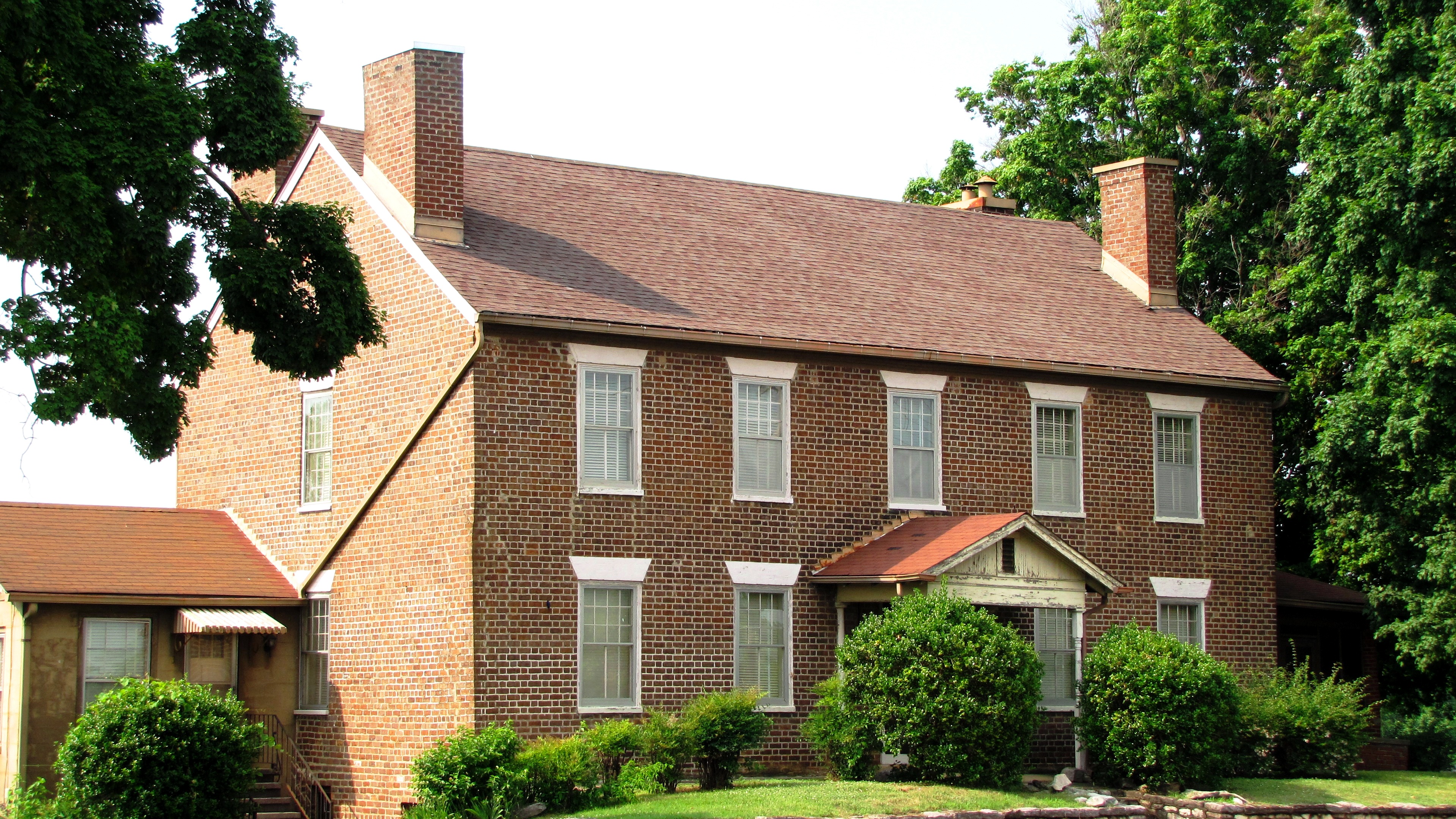
James White settled in rural east Knox County on the French Broad River in 1785, but constructed a cabin in what is now downtown Knoxville in 1786. General White later requested that his son-in-law, Charles McClung, survey the land around his cabin and lay out sixteen blocks with four lots on each block. After setting aside lots for his residence, a cemetery, college and other functions he deemed necessary, the balance of the lots were sold by lottery on October 3, 1791. In 1792, the community began to take shape: 1) Knox County, Tennessee, was split off from Hawkins County, Tennessee; 2) settlers were constructing buildings on lots they received in the lottery; 3) Samuel and Nathan Cowan opened the first store; and 4) the first tavern was opened by John Chisholm. In 1793, a garrison of soldiers was assigned to protect the settlers.
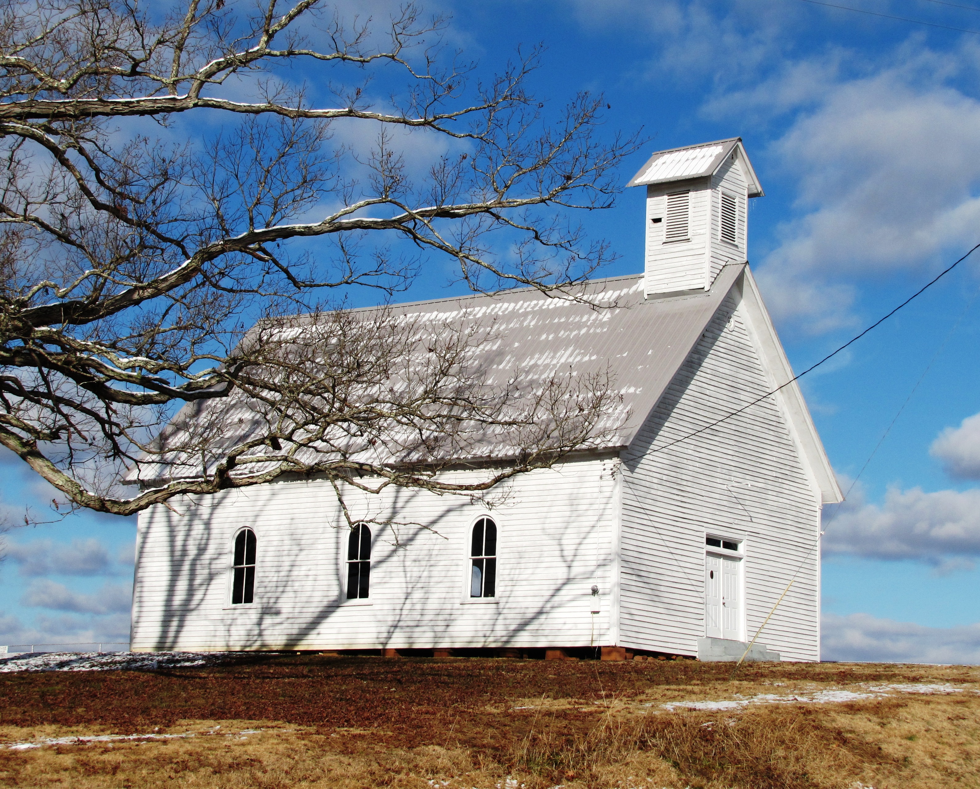
Other than setting aside land for Blount College (now the University of Tennessee), the earliest structures were built to accommodate basic frontier needs. These included the fort, residences, churches, taverns (which also served as inns) and a cemetery.
In terms of growth, development of the county was due both to expansion of the early settlement (a) and the development of roads (b), which linked James White's Fort to other parts of the state: (a) The original 16 square blocks was expanded to accommodate growth in the population. Moses White, James White's son, laid out East Knoxville, which was originally a separate city and called Mechanicsburg. Colonel John Williams laid out the west end of the town, which was briefly known as Williamsburg; and (b) Roads were constructed to allow access both to surrounding settlements in rural areas of Knox County, and to allow pioneers to travel from the east coast further west. Settlers typically traveled down from southwest Virginia through Rogersville, Tennessee on the Knoxville Road before arriving at Knoxville. By 1795, what is now Kingston Pike went from James White's Fort to the western end of the county. Beyond the western end of the county, this route became known as the Nashville Road. By 1807, the Knoxville Gazette reported that 200 settlers a day were passing through the city on their way further west. Further north in Knox County, Adair's Fort, built by John Adair in Fountain City, protected settlers traveling westward on the Emory Road. And by 1792, Alexander Cunningham was operating the first ferry over the Tennessee River south of Knoxville.
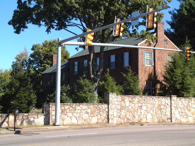
Despite ceasing to be Tennessee's state capital circa 1816, Knoxville continued to grow slowly through the ante-bellum period. And due to the mountainous terrain, slavery never took root as deeply in East Tennessee as it did in Middle Tennessee and West Tennessee. The valleys of East Tennessee, such as the area west of Knoxville accessed by Kingston Pike, did have plantations, a few of whose houses still remain. And the Tennessee River was not as navigable at Knoxville as it was further downstream, so, other than the roads, the city remained comparatively isolated until the railroads began operating. Then, due to Knoxville's central location in the southeast and the railroads that traversed it, the city experienced explosive growth. Initially, the East Tennessee & Virginia Railroad (which soon became the East Tennessee, Virginia and Georgia Railroad, and later became part of Southern Railway) began operations in the city. The Louisville and Nashville Railroad soon followed, giving Knoxville access to two prominent transportation companies and two rail stations of architectural significance. The 1880s were the greatest growth period in the city's history, although there was substantial growth after World War II.
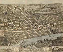
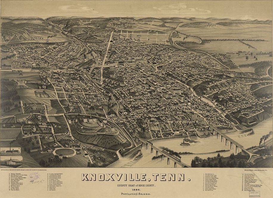
 1886 Aerial Rendering of Knoxville
Structures now listed on the National Register of Historic Places largely reflect this expansion. There were isolated pockets of settlement, such as the Ramsey House and Marble Springs, in what remains the rural part of the county. As Kingston Pike developed, Crescent Bend and other estates were constructed in what soon became affluent western Knox County. Kingston Pike also linked Bearden, Ebenezer's Mill, and later linked Farragut, Concord and Kingston to Knoxville. There was a flurry of commercial and residential development in the late 19th Century. As streetcars began operation, suburban expansion moved both north and south. Automobiles allowed further urban sprawl to develop.
As the county has expanded, many historic structures have been lost to development. Examples include: 18th Century Chisholm Tavern, which was not demolished until the 20th century as part of the construction of James White Parkway; the Mabry Hood House on Kingston Pike, which was demolished to allow construction of Pellissippi Parkway; and the Baker Peters House on Kingston Pike, which has survived, but has been stripped of its context due to surrounding commercial development, including a carwash in its front yard. By 1900, all that remained of James White's Fort was the fort's main house, which itself was dismantled and moved to a farm outside the city in 1906. In the 1960s, preservation groups moved the house to its present location on Hill Avenue, and reconstructed its historic palisades and outbuildings. Because it has been moved from its original location, the fort is not eligible for listing on the National Register.
Current listings
[3] Landmark name [4] Image Date listed Location City or town Summary 1 Adair Gardens Historic District 
September 23, 1994 Roughly bounded by Adair, Rose, and Coile Drs.
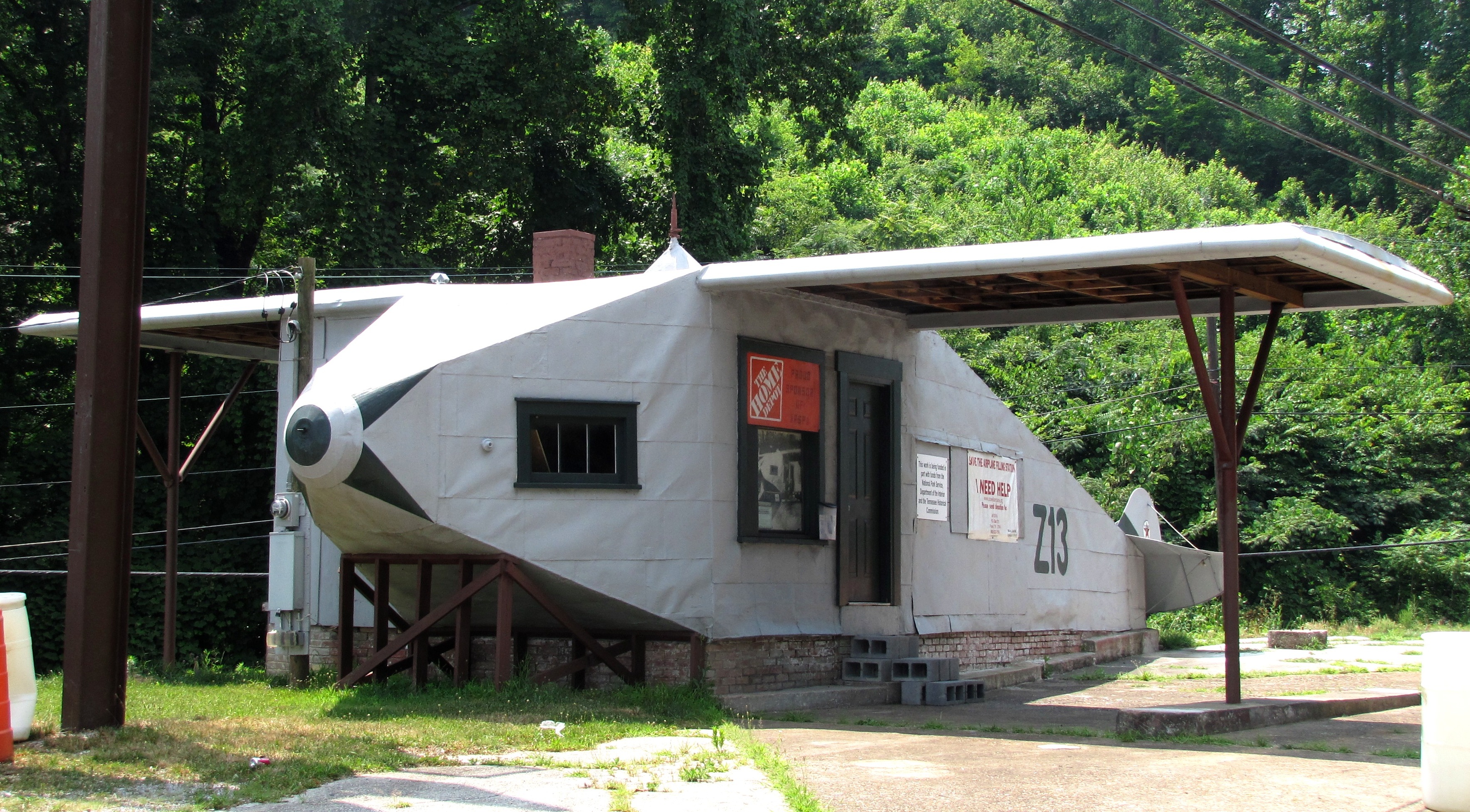
36°01′32″N 83°55′32″W / 36.025625°N 83.925633°WKnoxville Consists of several houses built in the 1920s and 1930s in the Fountain City community 2 Airplane Service Station 
March 18, 2004 6829 Clinton Highway
36°00′33″N 84°01′53″W / 36.009167°N 84.031389°WKnoxville Filling station built in 1930 in the shape of an airplane; located just outside of Knoxville in the Powell community 3 Asbury Methodist Episcopal Church, South 
March 18, 1997 2820 Asbury Rd.
35°57′13″N 83°49′33″W / 35.953611°N 83.825833°WKnoxville Now called Asbury United Methodist Church 4 Alexander Bishop House 
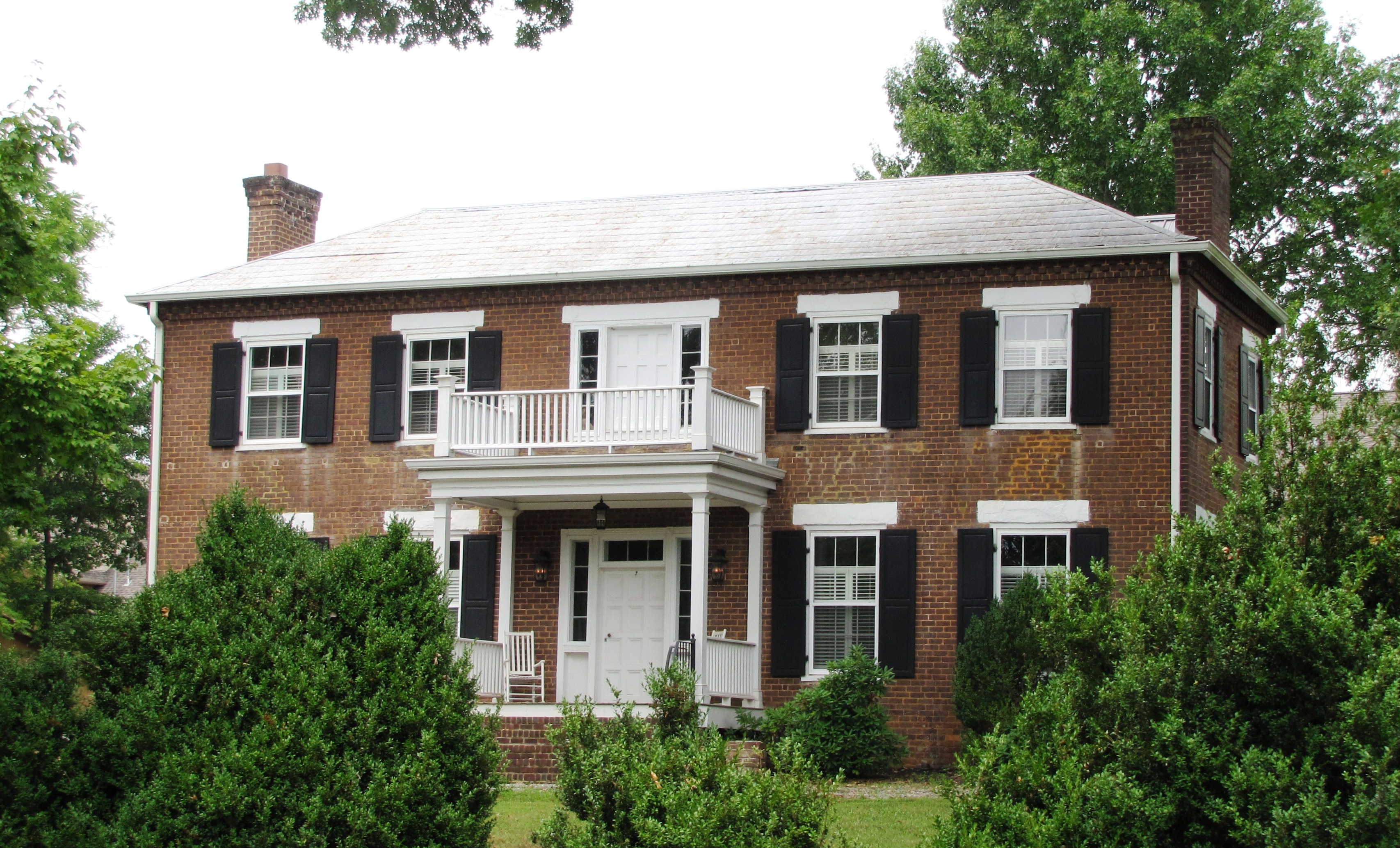
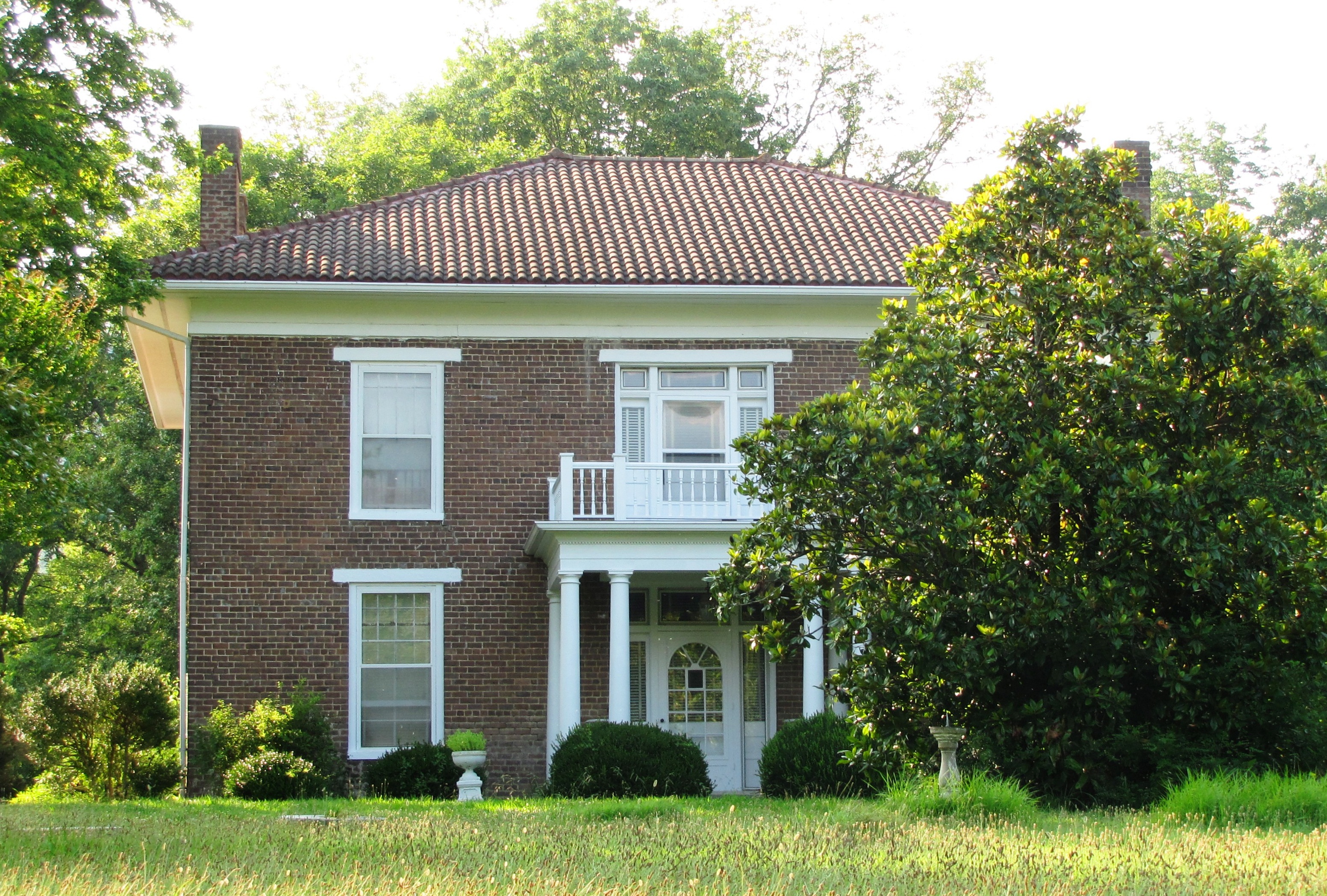
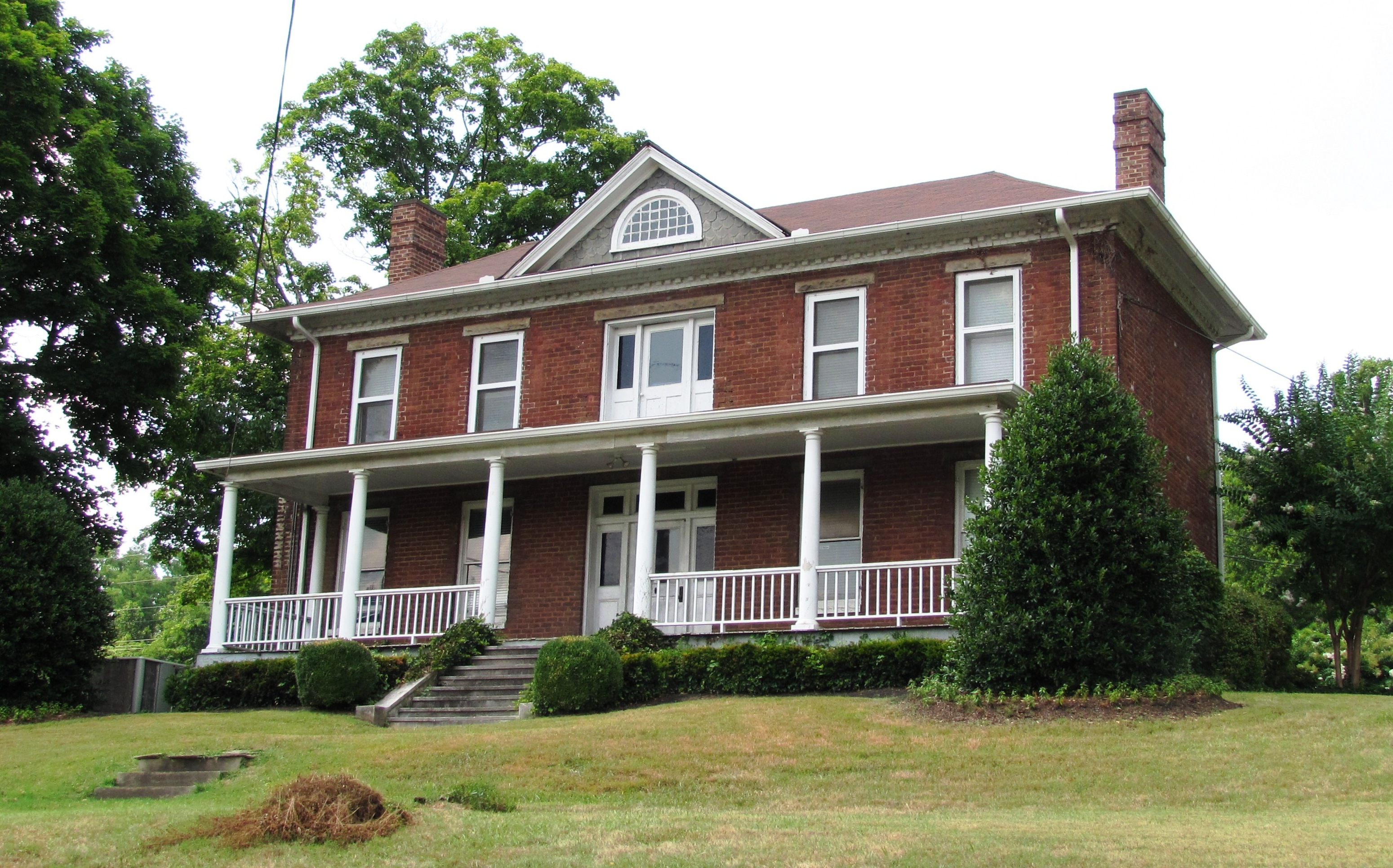
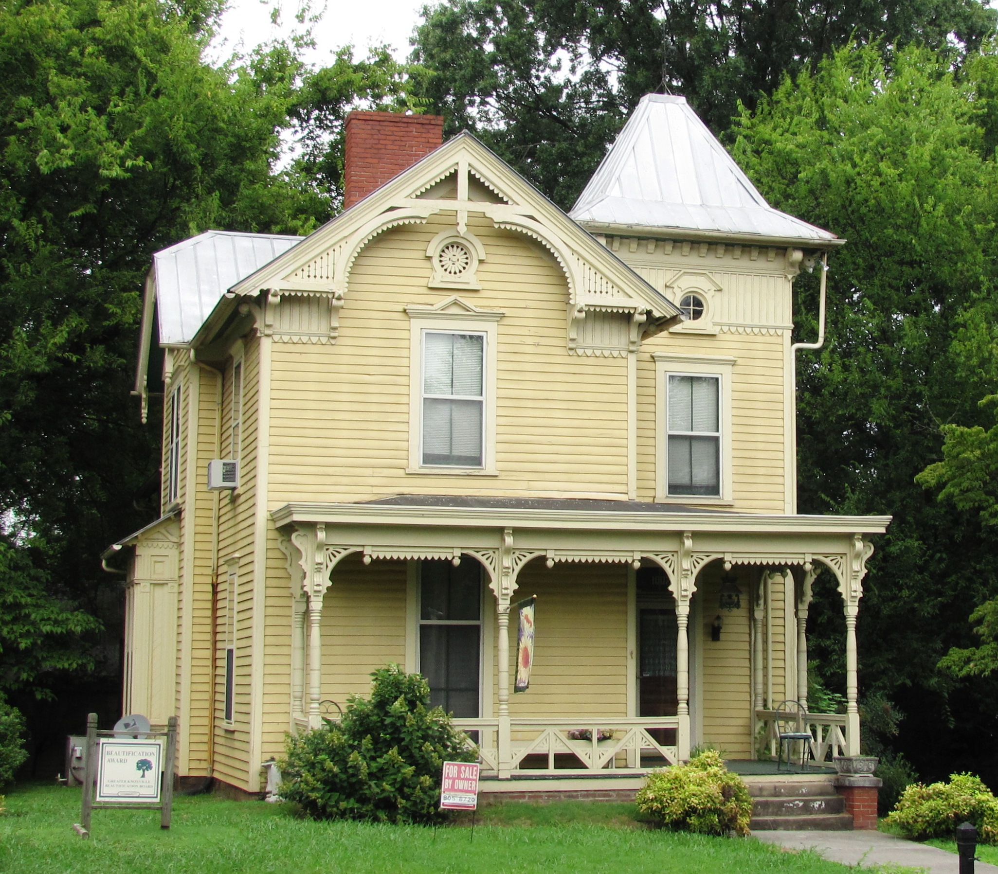
September 3, 1997 7924 Bishop Rd.
36°03′51″N 83°59′35″W / 36.064167°N 83.993056°WKnoxville Believed to have been built in the early 1790s 5 Bleak House 
November 8, 1984 3148 Kingston Pike
35°56′58″N 83°57′22″W / 35.949444°N 83.956111°WKnoxville Also known as "Confederate Memorial Hall,"; currently a museum 6 William Blount Mansion 
October 15, 1966 200 W. Hill Ave.
35°57′40″N 83°54′55″W / 35.961111°N 83.915278°WKnoxville 7 Boyd-Harvey House 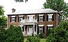
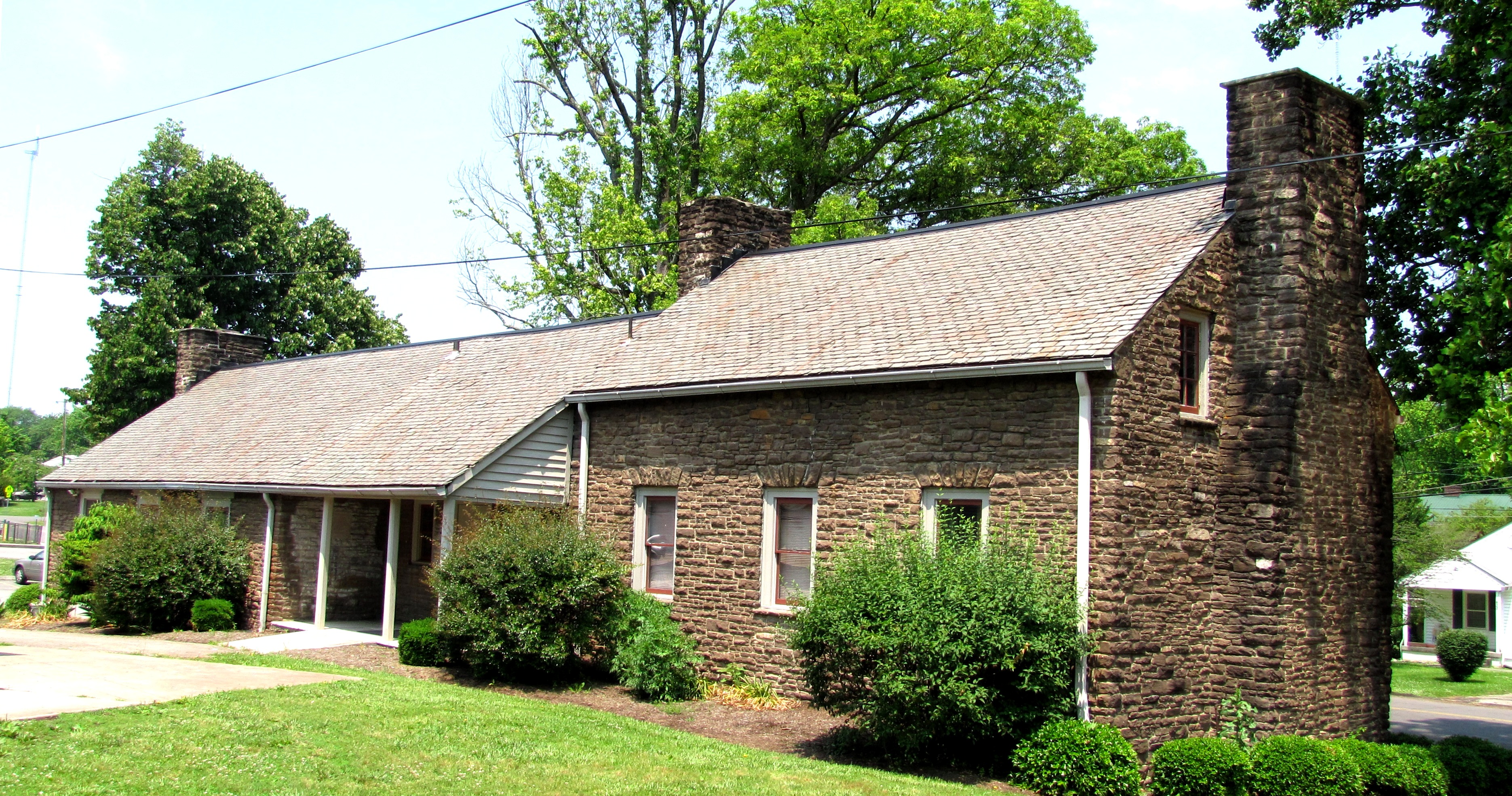
November 7, 1985 Harvey Rd.
35°50′04″N 84°10′48″W / 35.834444°N 84.18°WKnoxville Located west of Knoxville near Concord 8 Alfred Buffat Homestead 
April 1, 1975 1 mile north of Knoxville on Love Creek Rd.
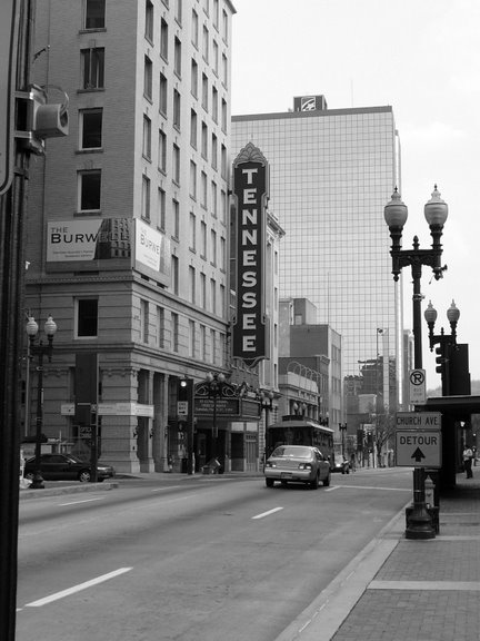
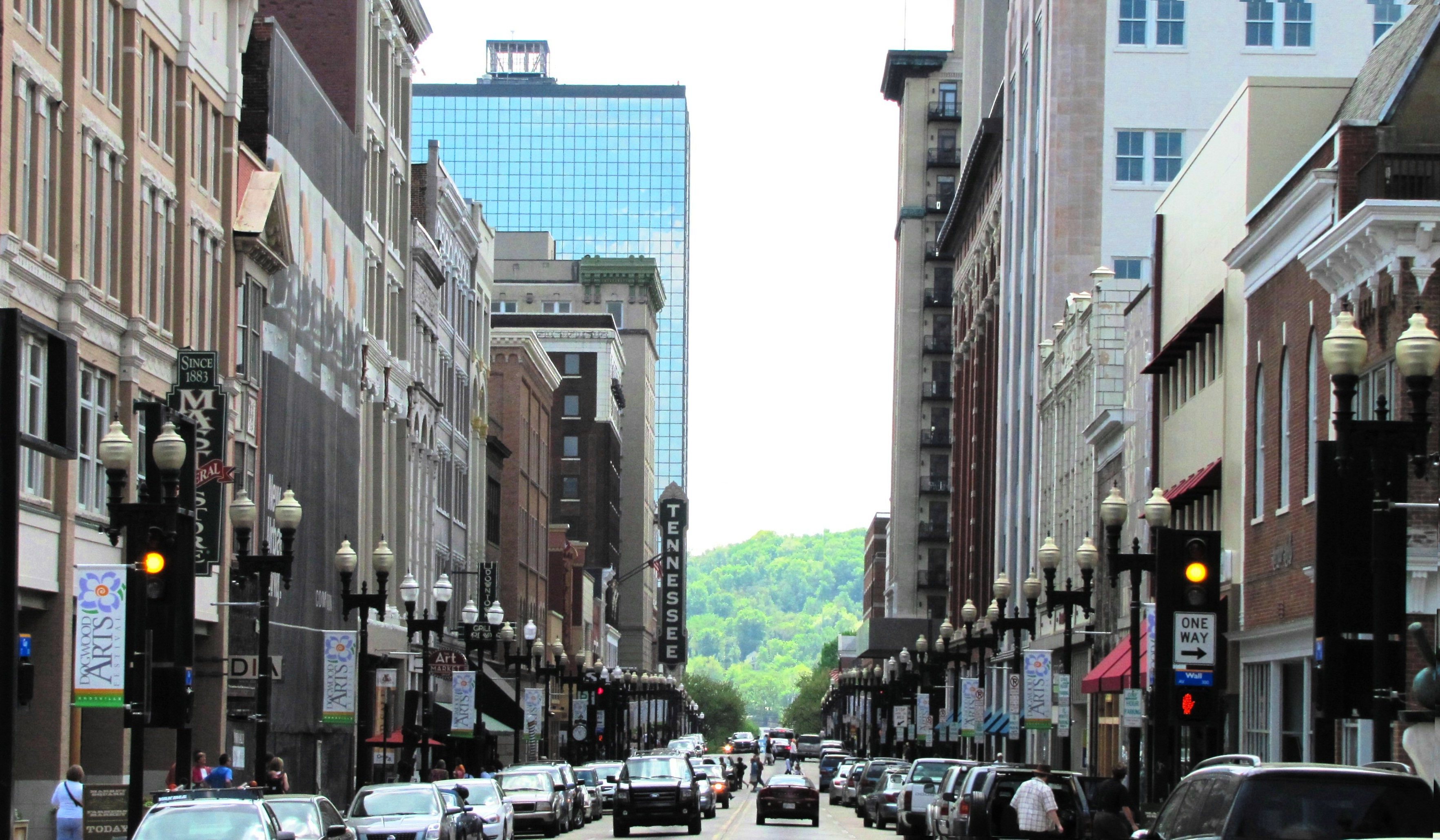
36°01′39″N 83°51′48″W / 36.0275°N 83.863333°WKnoxville Late-1860s homestead in northeast Knoxville 9 Burwell Building Tennessee Theater 
April 1, 1982 600 S. Gay St.
35°57′44″N 83°55′10″W / 35.962222°N 83.919444°WKnoxville Built 1907, theater designed in the Spanish-Moorish style by Graven & Mayger 10 Camp House 
April 24, 1973 1306 Broadway, NE.
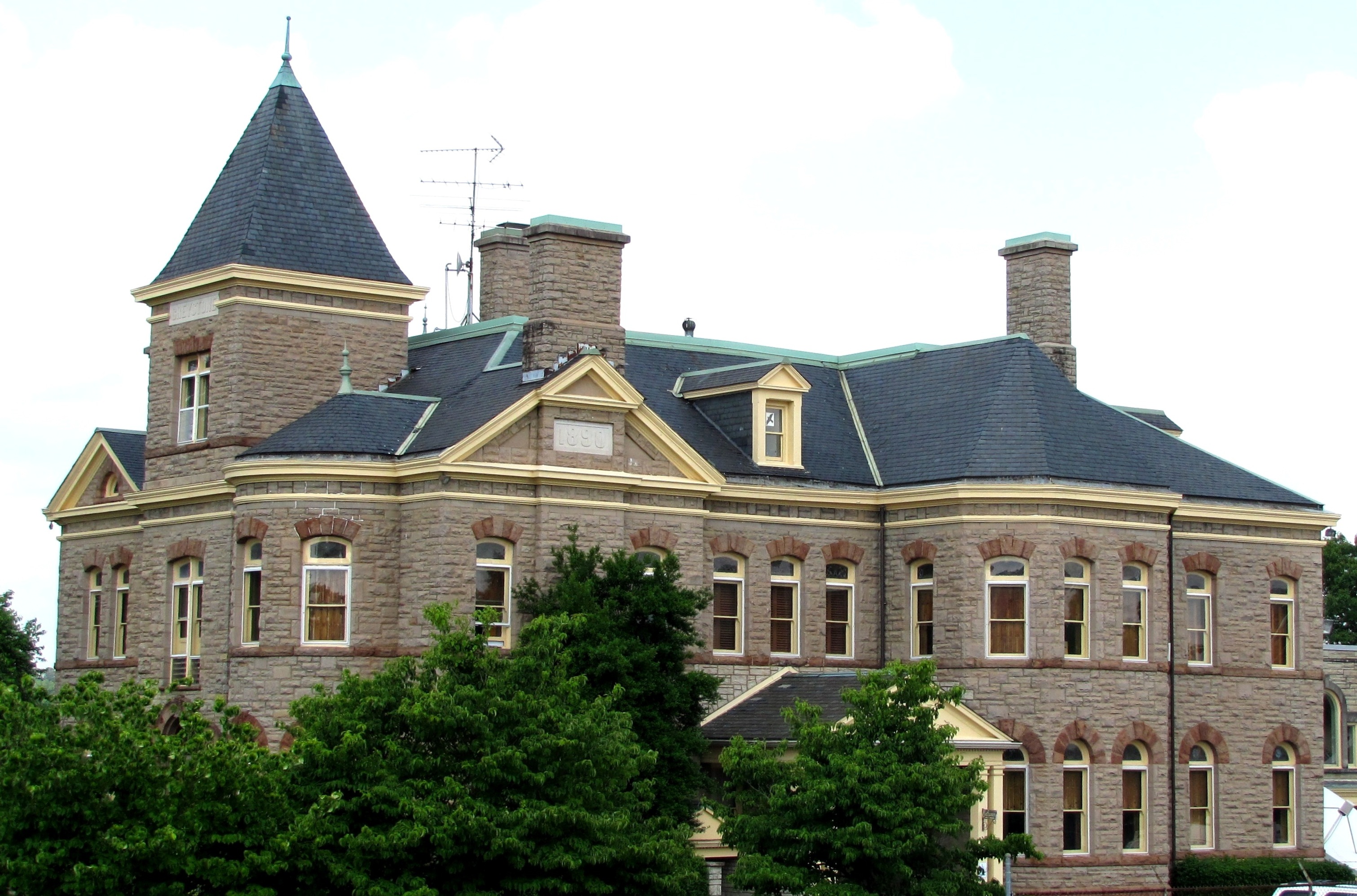
35°59′03″N 83°55′19″W / 35.984167°N 83.921944°WKnoxville Commonly called "Greystone"; completed in 1890 for coal tycoon Eldad Cicero Camp, designed by Alfred B. Mullett; now houses offices for local station WATE-TV 11 Candoro Marble Works 
July 22, 2005 681 Maryville Pike
35°55′58″N 83°55′06″W / 35.932778°N 83.918333°WKnoxville Marble finishing complex built in 1914; includes showroom and garage designed by architect Charles I. Barber; initially added in 1996, showroom and garage relisted for architectural significance in 2005 12 Central United Methodist Church 
November 9, 2005 201 E. 3rd Ave.
35°58′42″N 83°55′20″W / 35.978333°N 83.922222°WKnoxville Gothic Revival church designed by Baumann & Baumann 13 Chesterfield 
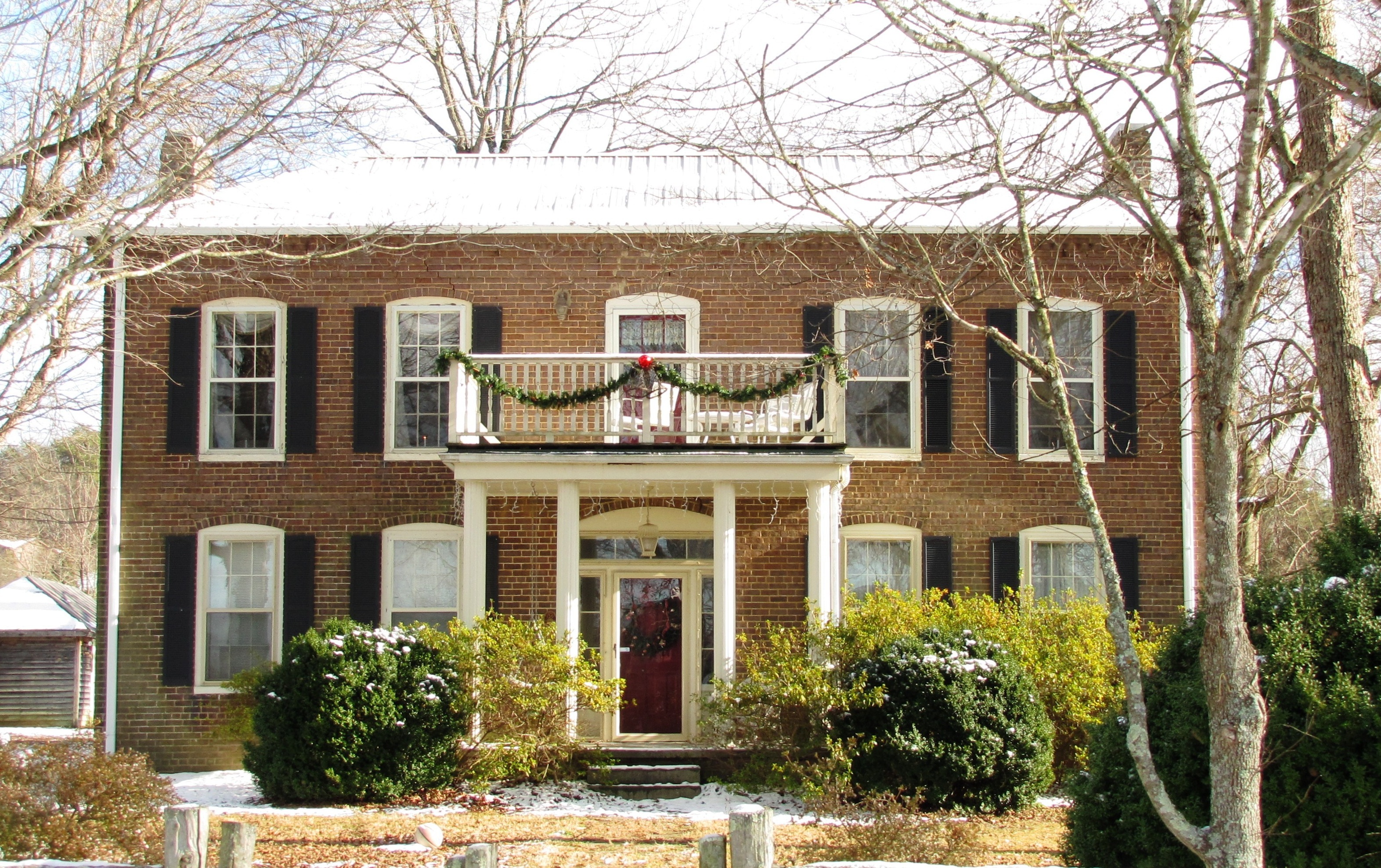
November 16, 1977 North of Mascot off Old Rutledge Pike
36°05′37″N 83°45′06″W / 36.093611°N 83.751667°WMascot Georgian-style house built in 1838 14 Christenberry Club Room 
March 14, 1997 Southwestern corner of the junction of Henegar and Shamrock Aves.
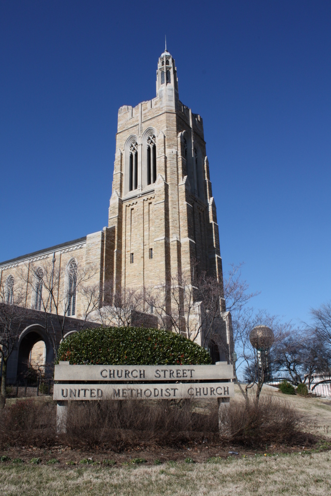
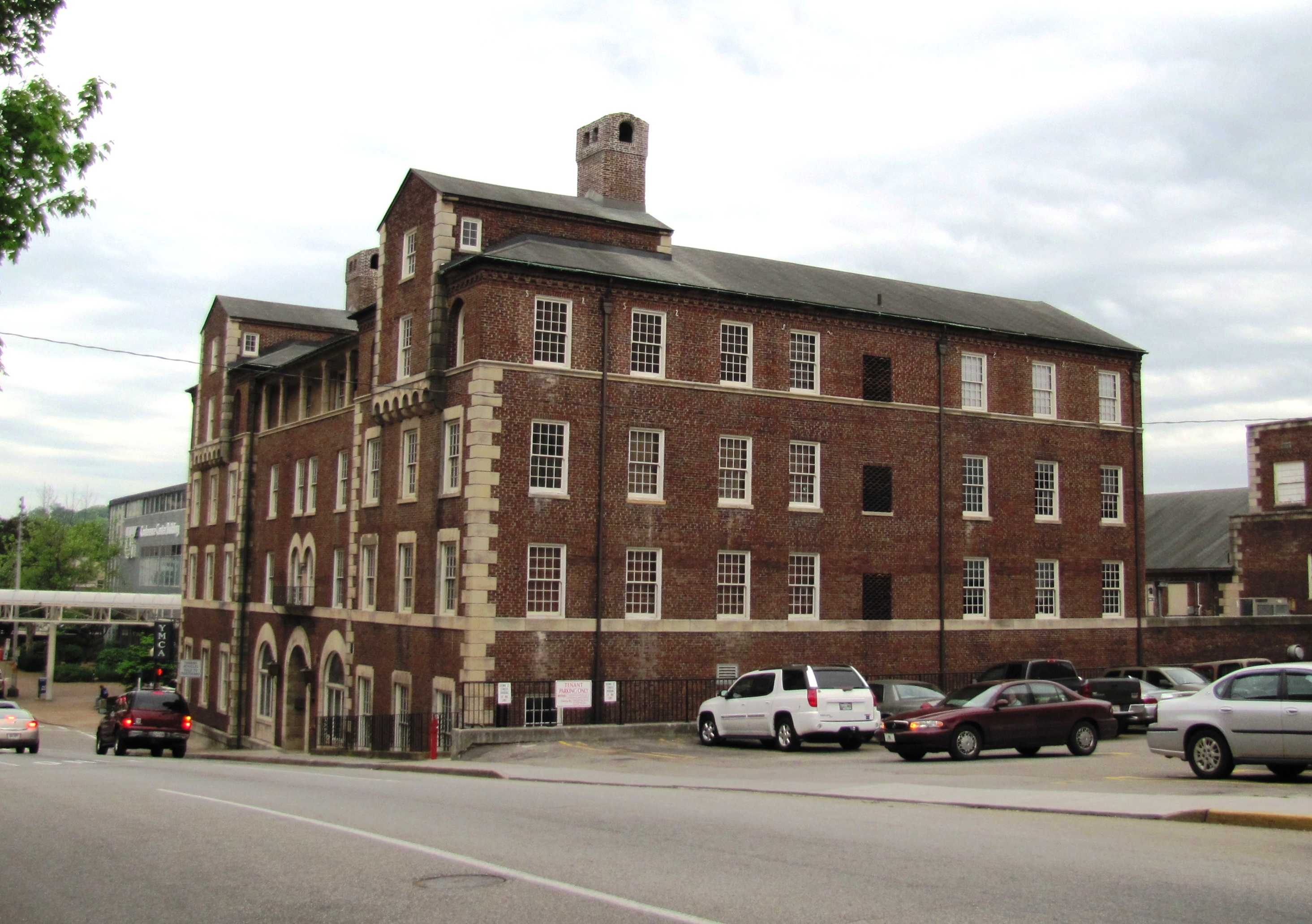
35°59′51″N 83°55′46″W / 35.9975°N 83.929444°WKnoxville Designed by Knoxville architectural firm Barber & McMurry 15 Church Street Methodist Church 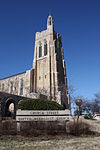
March 10, 2009 913 Henley St.
35°57′36″N 83°55′14″W / 35.95991°N 83.92057°WKnoxville Designed by Barber & McMurry and John Russell Pope 16 Concord Village Historic District 
October 22, 1987 Roughly bounded by Lakeridge and 3rd Drs., Spring St., and the Masonic Hall and Cemetery
35°51′58″N 84°08′17″W / 35.866111°N 84.138056°WConcord 17 Contractor's Supply, Inc. July 13, 2011 1909 Schofield St.
35°58′18″N 83°57′20″W / 35.971667°N 83.955556°WKnoxville 18 Cowan, McClung and Company Building 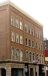
July 12, 1984 500-504 Gay St.
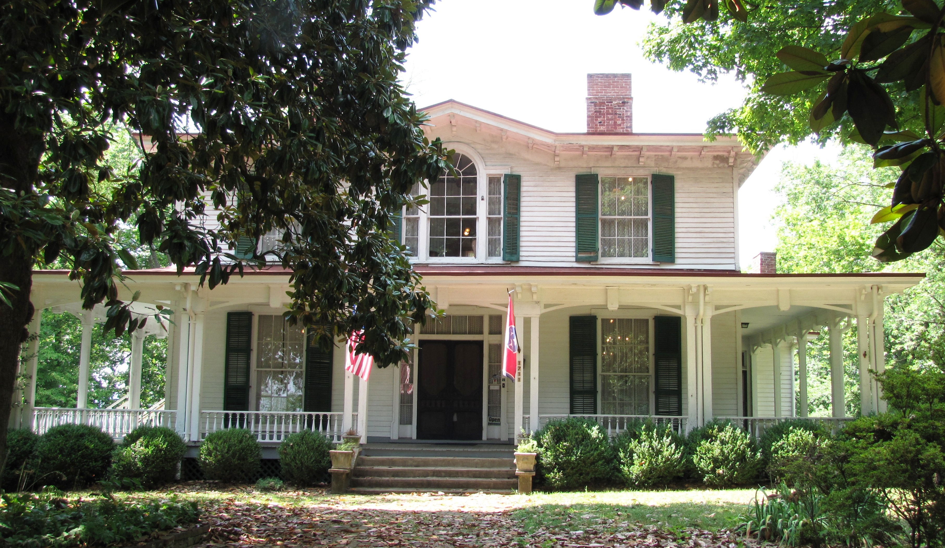
35°57′55″N 83°55′05″W / 35.965278°N 83.918056°WKnoxville Now called the "Fidelity Building"; built in 1871, remodeled in 1929 by Baumann & Baumann 19 Craighead-Jackson House 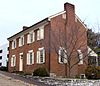
March 20, 1973 1000 State St.
35°57′40″N 83°54′52″W / 35.961111°N 83.914444°WKnoxville 20 Daniel House 
March 19, 1998 2701 Woodson Dr.
35°55′23″N 83°56′57″W / 35.923056°N 83.949167°WKnoxville Moderne-style house built using the frame of a Quonset hut; designed by James Fitzgibbon 21 Daylight Building 
November 25, 2009 501-517 Union Ave.
35°56′59″N 83°57′17″W / 35.949722°N 83.954722°WKnoxville 22 H.L. Dulin House 
October 15, 1974 3100 Kingston Pike
35°56′59″N 83°57′17″W / 35.949722°N 83.954722°WKnoxville Also called "Crescent Bluff"; current address is 3106 Kingston Pike 23 Ebenezer Mill 
June 25, 1987 Ebenezer Rd.
35°54′19″N 84°04′25″W / 35.905278°N 84.073611°WKnoxville Turbine-powered gristmill in West Knoxville 24 Emory Place Historic District 
November 10, 1994 Roughly bounded by Broadway, N. Central, Emory, 5th, E. 4th, and King Sts.
35°58′27″N 83°55′21″W / 35.974069°N 83.922483°WKnoxville Includes Knoxville High School, First Christian Church, a fire station, and several commercial and residential structures 25 Fire Station No. 5 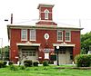
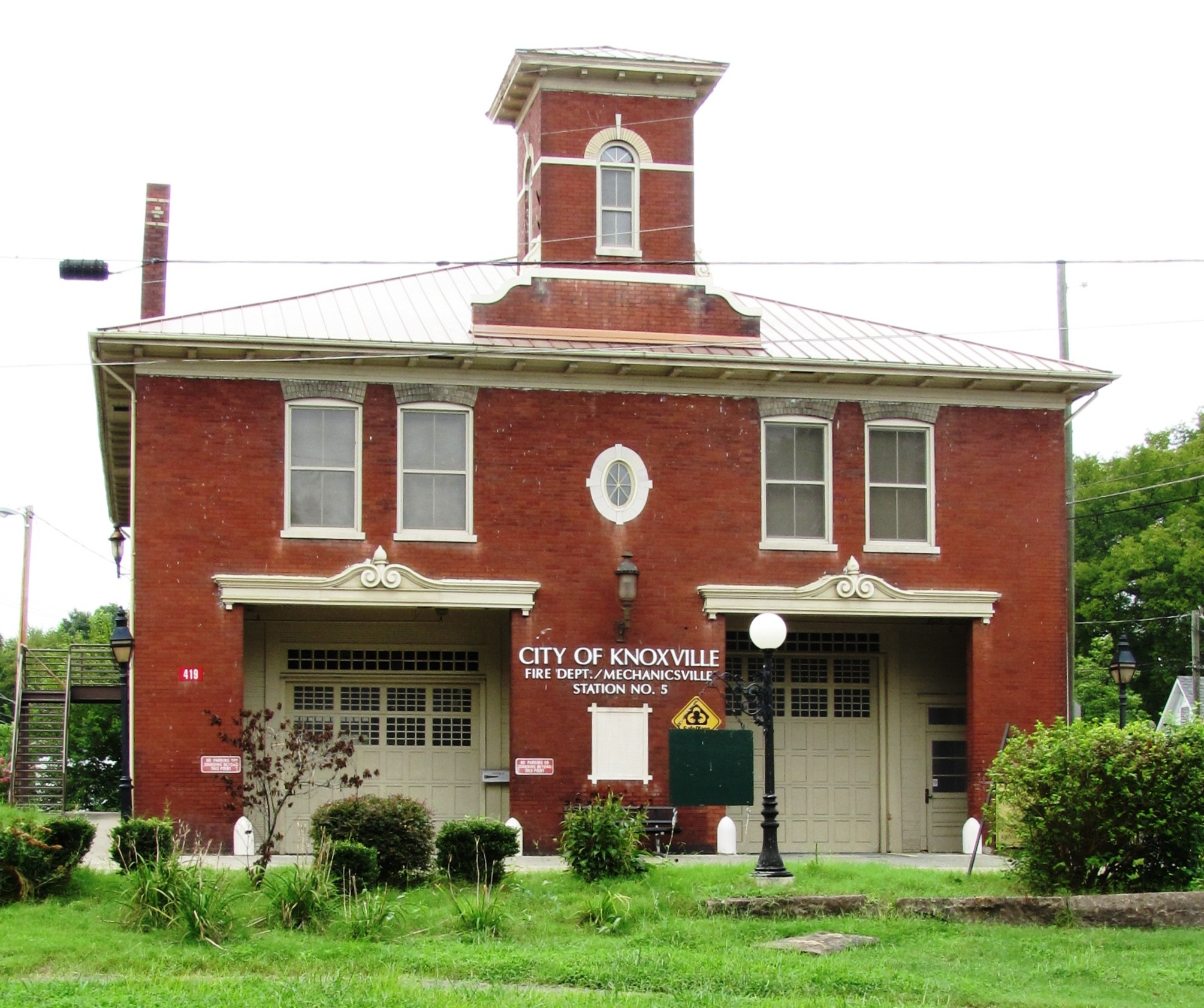
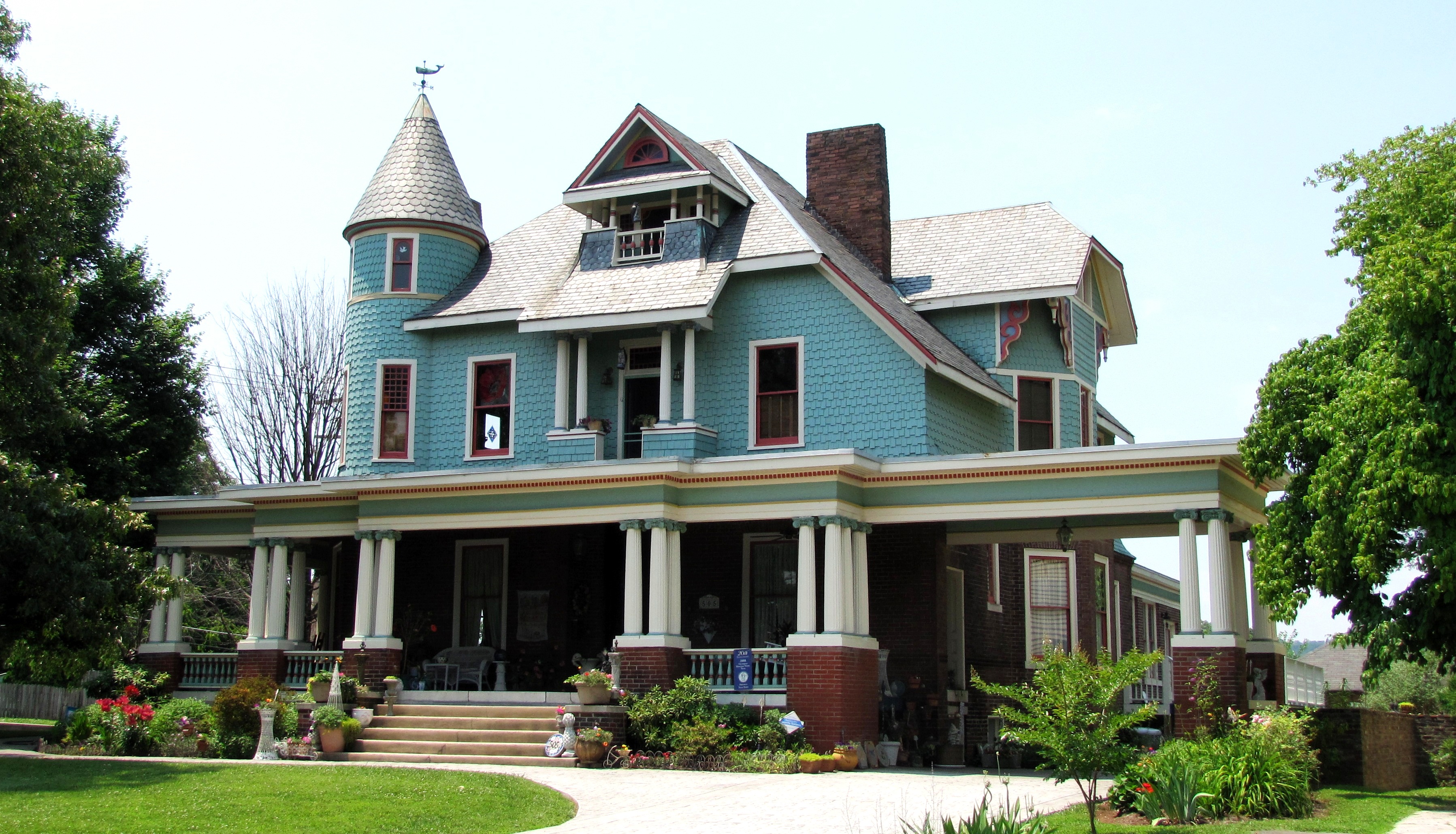
November 2, 1978 419 Arthur St., NW.
35°58′09″N 83°55′56″W / 35.969167°N 83.932222°WKnoxville Early-1900s fire station built to serve the Mechanicsville neighborhood 26 First Baptist Church 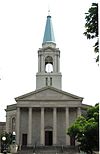
March 8, 1997 510 Main Ave.
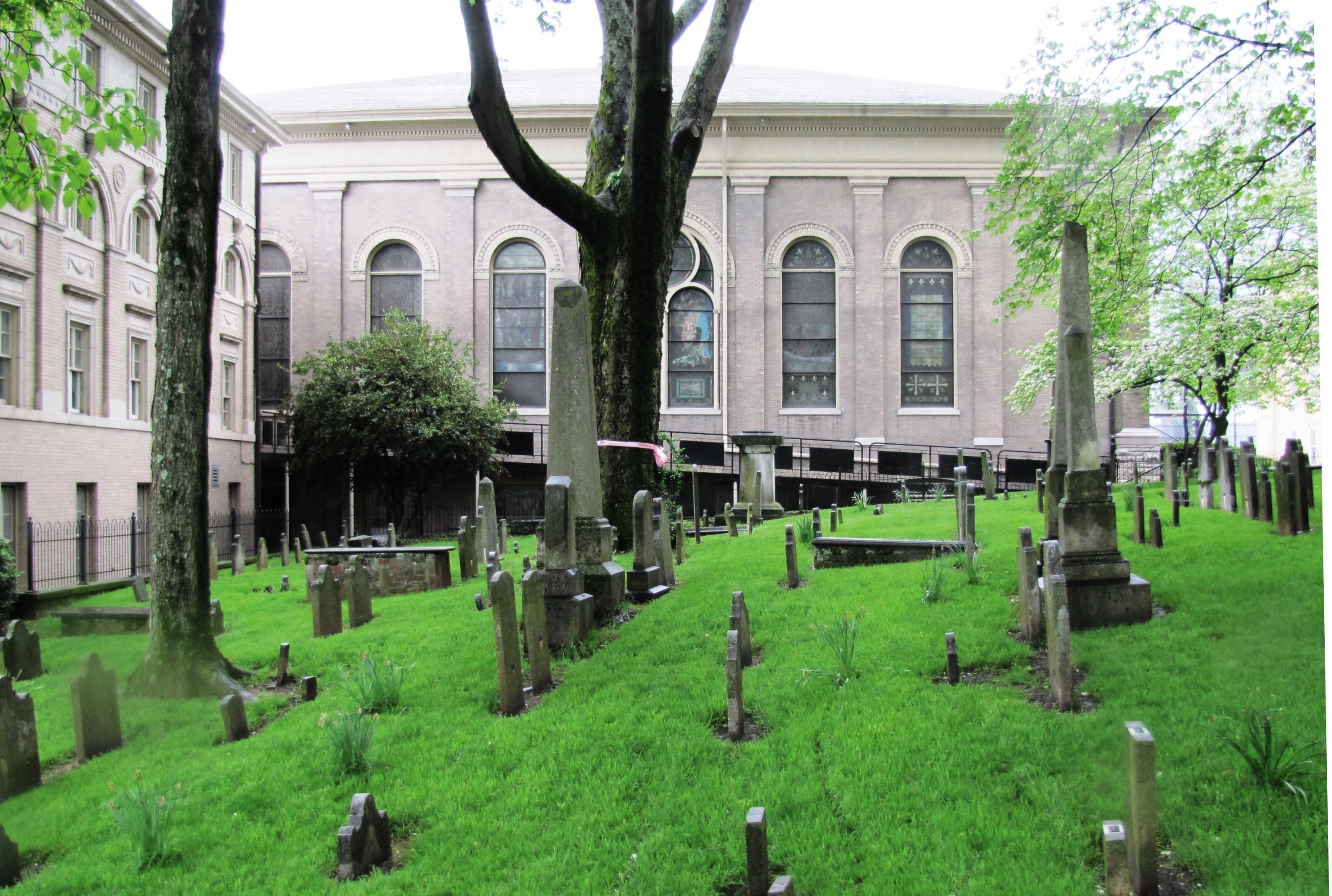
35°57′37″N 83°55′07″W / 35.960278°N 83.918611°WKnoxville Designed by Dougherty & Gardner 27 First Presbyterian Church Cemetery 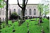
December 4, 1996 Adjacent to 620 State St.
35°57′35″N 83°55′15″W / 35.959722°N 83.920833°WKnoxville Knoxville's oldest cemetery 28 Forest Hills Boulevard Historic District 
April 14, 1992 500-709 Forest Hills Blvd.
35°56′44″N 83°59′09″W / 35.945556°N 83.985833°WKnoxville Consists of 20 houses built in the late 1920s and 1930s 29 Fort Sanders Historic District 
September 16, 1980 Roughly bounded by White and Grand Aves. and 11th and 19th Sts.
35°57′37″N 83°55′54″W / 35.960278°N 83.931667°WKnoxville Consists of several hundred houses and other buildings constructed circa 1880-1920 in the vicinity of the Civil War-era Fort Sanders 30 Fourth and Gill Historic District 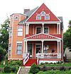
April 29, 1985 Roughly bounded by Interstate 40, Broadway, Central and 5th Ave.
35°58′48″N 83°55′14″W / 35.98°N 83.920556°WKnoxville Includes three churches and several dozen houses built circa 1880–1930 31 Gay Street Commercial Historic District 
November 4, 1986 Roughly along Gay St. from Summit Hill Dr. to Church Ave.
35°57′56″N 83°55′06″W / 35.965556°N 83.918333°WKnoxville Consists of nearly three dozen buildings constructed circa 1880-1940, during Knoxville's commercial boom period 32 General Building 
March 8, 1988 625 Market St.
35°57′47″N 83°55′07″W / 35.963056°N 83.918611°WKnoxville Designed by Barber & McMurry; now home to First Bank 33 Gibbs Drive Historic District 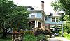
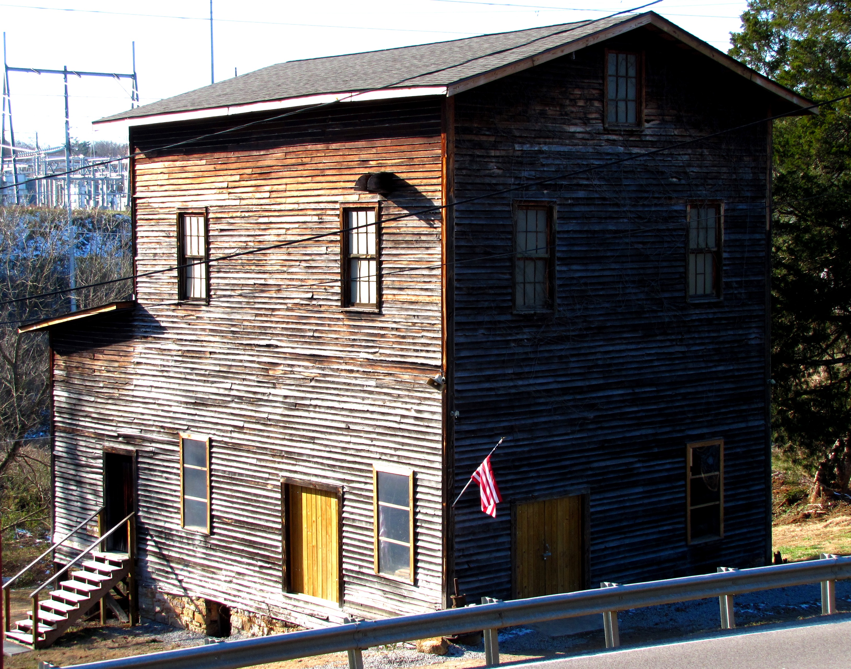
November 8, 2000 Gibbs Dr.
36°02′07″N 83°55′35″W / 36.035278°N 83.926389°WKnoxville Consists of several early-20th century houses built along Gibbs Drive in Knoxville's Fountain City community 34 Nicholas Gibbs House 
September 9, 1988 Emory Rd.
36°07′26″N 83°50′37″W / 36.123889°N 83.843611°WKnoxville Log house built in 1793 by pioneer Nicholas Gibbs; located outside of Knoxville in Corryton 35 Holston National Bank 
October 2, 1979 531 S. Gay St.
35°57′51″N 83°55′06″W / 35.964167°N 83.918333°WKnoxville Currently a condominium high-rise known simply as "The Holston"; designed by John Kevan Peebles 36 Hotpoint Living-Conditioned Home 
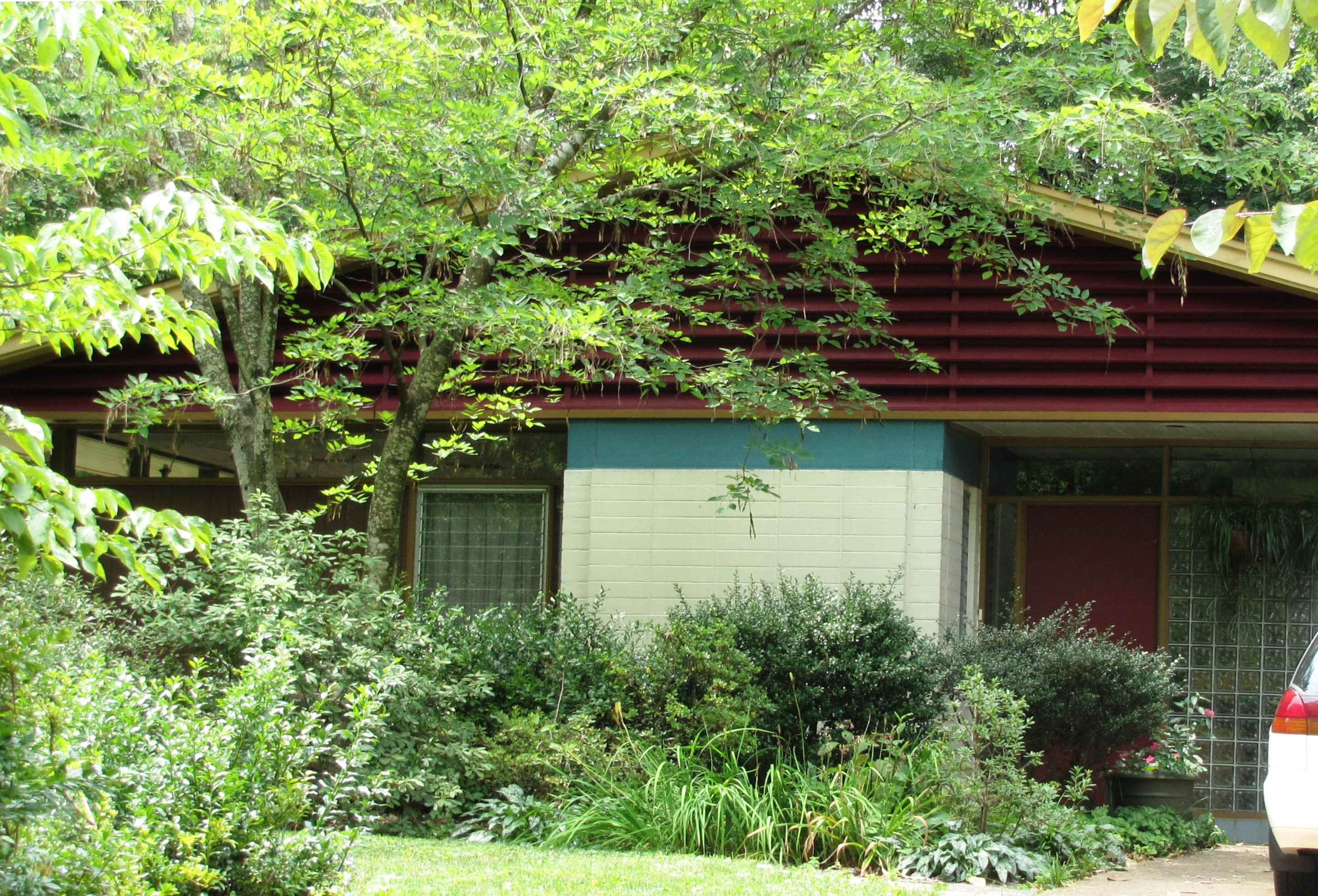
March 15, 2010 509 W. Hills Rd.
35°56′12″N 84°01′51″W / 35.9368°N 84.030803°WKnoxville Demonstration "starter home" built in 1954 in West Hills subdivision; designed by Bruce McCarty 37 Island Home Park Historic District 
November 10, 1994 Bounded by Island Home Boulevard, Fisher and Spence Places, and Maplewood
35°57′33″N 83°52′52″W / 35.959122°N 83.881153°WKnoxville Includes 119 contributing houses built c. 1899-1940 in the Island Home Park community of South Knoxville 38 Jackson Avenue Warehouse District 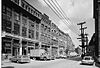
April 11, 1973 Jackson Ave.; also 120-124 Jackson Ave.
35°58′13″N 83°55′08″W / 35.970278°N 83.918889°WKnoxville 120-124 Jackson represent a boundary increase 39 Andrew Johnson Hotel 
July 9, 1980 912 S. Gay St.
35°57′41″N 83°54′56″W / 35.961389°N 83.915556°WKnoxville Now houses offices for Knox County Schools and other county departments; designed by Baumann & Baumann 40 Leroy Keener House 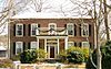
November 13, 1997 3506 Woodlawn School Rd.
35°56′51″N 83°43′24″W / 35.9475°N 83.723333°WKnoxville Greek Revival-style house in southeast Knox County 41 Kingston Pike Historic District 
December 4, 1996 Roughly 2728-3151, 3201, 3219, 3401, 3425, and 3643 Kingston Pike
35°56′58″N 83°57′18″W / 35.949444°N 83.955°WKnoxville Includes Crescent Bend, the H.L. Dulin House, Judge Taylor House, and several others 42 Knollwood 
May 12, 1975 6411 Kingston Pike
35°56′02″N 84°00′32″W / 35.933889°N 84.008889°WKnoxville Currently home to Schaad Companies; address sometimes listed as 150 Major Reynolds Place 43 Knox County Courthouse 
April 24, 1973 Main Ave. and Gay St.
35°57′39″N 83°55′01″W / 35.960833°N 83.916944°WKnoxville Designed by David Getaz 44 Knoxville Business College 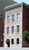
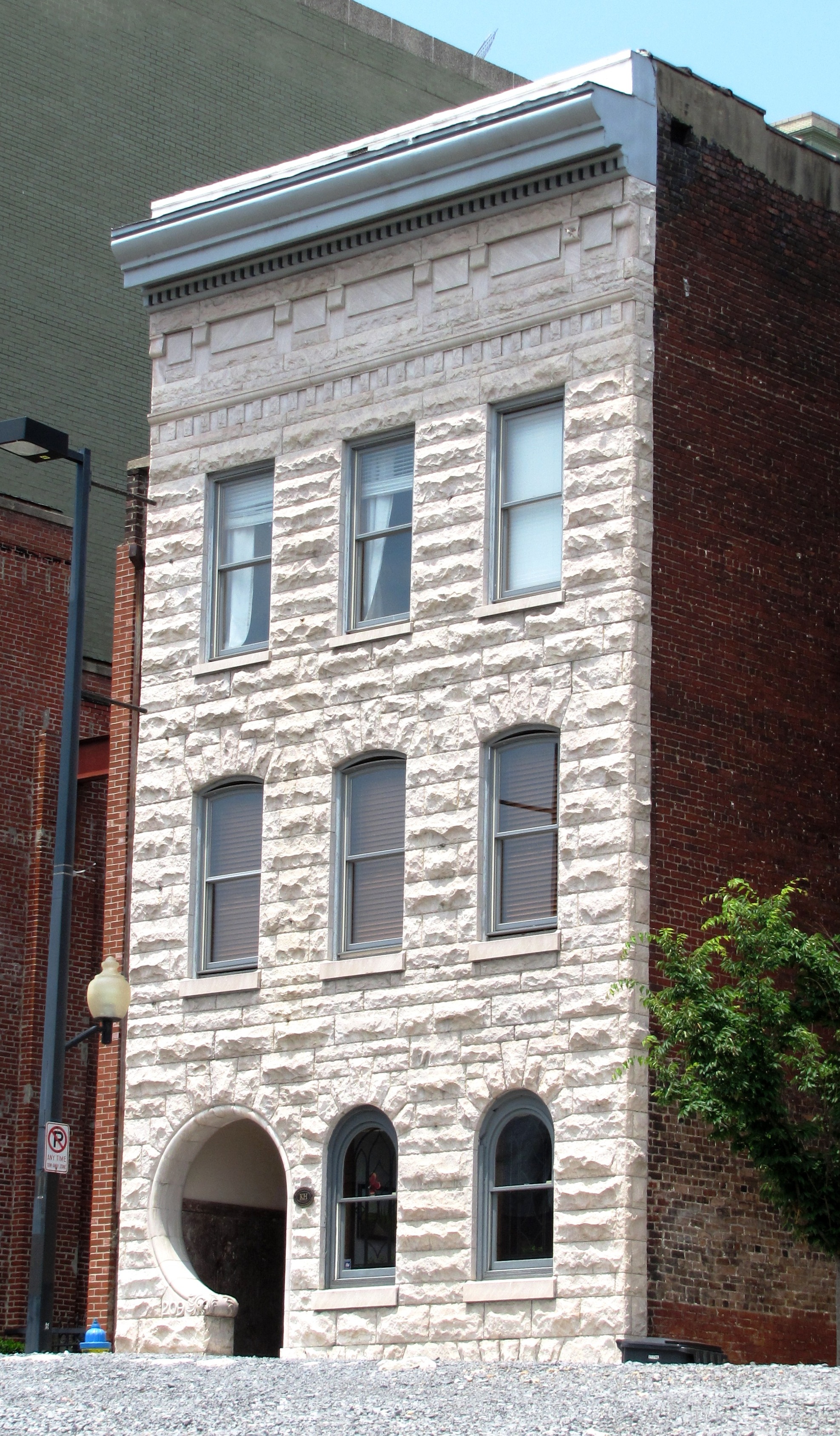
January 27, 1983 209 W. Church St.
35°57′50″N 83°55′01″W / 35.963889°N 83.916944°WKnoxville Commonly called the "Keyhole Building"; now houses condominiums 45 Knoxville College Historic District 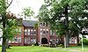
May 1, 1980 901 College St., NW.
35°58′11″N 83°56′34″W / 35.969722°N 83.942778°WKnoxville 46 Knoxville Iron Foundry Complex-Nail Factory and Warehouse 
March 25, 1982 715 Western Ave., NW.
35°57′55″N 83°55′36″W / 35.965278°N 83.926667°WKnoxville Built by the Knoxville Iron Company in 1875 as a nail factory; now an event center known as "The Foundry" 47 Knoxville National Cemetery 
September 12, 1996 939 Tyson St., NW.
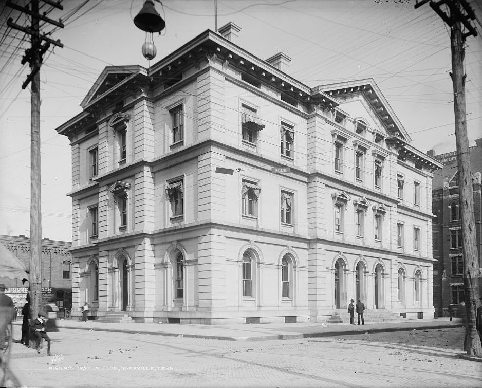
35°58′32″N 83°55′39″W / 35.975556°N 83.9275°WKnoxville 48 Knoxville Post Office 
May 31, 1984 501 Main St.
35°57′39″N 83°55′08″W / 35.960833°N 83.918889°WKnoxville Designed by Baumann & Baumann 49 Knoxville YMCA Building 
November 17, 1983 605 Clinch Ave.
35°57′47″N 83°55′16″W / 35.963056°N 83.921111°WKnoxville Designed by Barber & McMurry 50 Lamar House Hotel 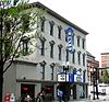
December 4, 1975 803 Gay St., SW.
35°57′47″N 83°55′03″W / 35.963056°N 83.9175°WKnoxville Lamar House Hotel built in 1816, Bijou Theater (its current function) added in 1909 51 Lebanon in the Forks Cemetery 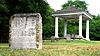
November 29, 2010 Asbury Rd. north of Norfolk Southern Railroad
35°57′37″N 83°50′50″W / 35.960278°N 83.847222°WKnoxville vicinity Knoxville and Knox County MPS; church added in 1975, but burned in 1982; cemetery added 2010; contains Knox County's oldest marked burial. 52 Lincoln Park United Methodist Church 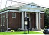
July 14, 2005 3120 Pershing St.
36°00′03″N 83°56′12″W / 36.000833°N 83.936667°WKnoxville 53 Lindbergh Forest Historic District 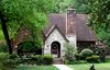
February 10, 1998 Along Chamberlain, Druid, Glenhurst, Southwood, Winslow, and Woodlawn
35°56′35″N 83°54′27″W / 35.943181°N 83.907425°WKnoxville Early automobile suburb, developed in the late-1920s and 1930s 54 Louisville and Nashville Freight Depot 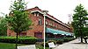
March 25, 1982 700 Western Ave., NW.
35°57′51″N 83°55′31″W / 35.964167°N 83.925278°WKnoxville Built 1903-1904, currently a restaurant 55 Louisville and Nashville Passenger Station 
March 25, 1982 700 Western Ave., NW.
35°57′51″N 83°55′28″W / 35.964167°N 83.924444°WKnoxville Built 1904-1905, currently an office building and event center; designed by Richard Monfort 56 Joseph Alexander Mabry, Jr. House 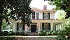
November 13, 1989 1711 Dandridge Ave.
35°58′16″N 83°54′11″W / 35.971111°N 83.903056°WKnoxville Commonly called the Mabry-Hazen House; now a museum 57 Mall Building 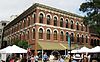
August 26, 1982 1, 3, 5 Market St.
35°57′53″N 83°55′11″W / 35.964722°N 83.919722°WKnoxville Also called the Kern Building, Odd Fellows Hall, or Hotel St. Oliver; designed by Joseph Baumann, and built in 1875 for confectioner Peter Kern 58 Marble Springs 
May 6, 1971 South of Knoxville on Neubert Springs Rd.
35°53′46″N 83°52′20″W / 35.896111°N 83.872222°WKnoxville 59 Market Square Commercial Historic District 
December 20, 1984 Market Sq. Mall
35°57′54″N 83°55′10″W / 35.965°N 83.919444°WKnoxville Contains 20 contributing buildings constructed c. 1870–1925 60 Maxwell-Kirby House November 30, 1999 8671 Northshore Dr.
35°53′06″N 84°02′25″W / 35.885°N 84.040278°WKnoxville 61 Samuel McCammon House 
March 1, 1984 1715 Riverside Dr.
35°57′55″N 83°53′51″W / 35.965278°N 83.8975°WKnoxville Currently houses offices of Engert Plumbing & Heating, Inc. 62 Alexander McMillan House 
May 10, 2001 7703 Strawberry Plains Pike
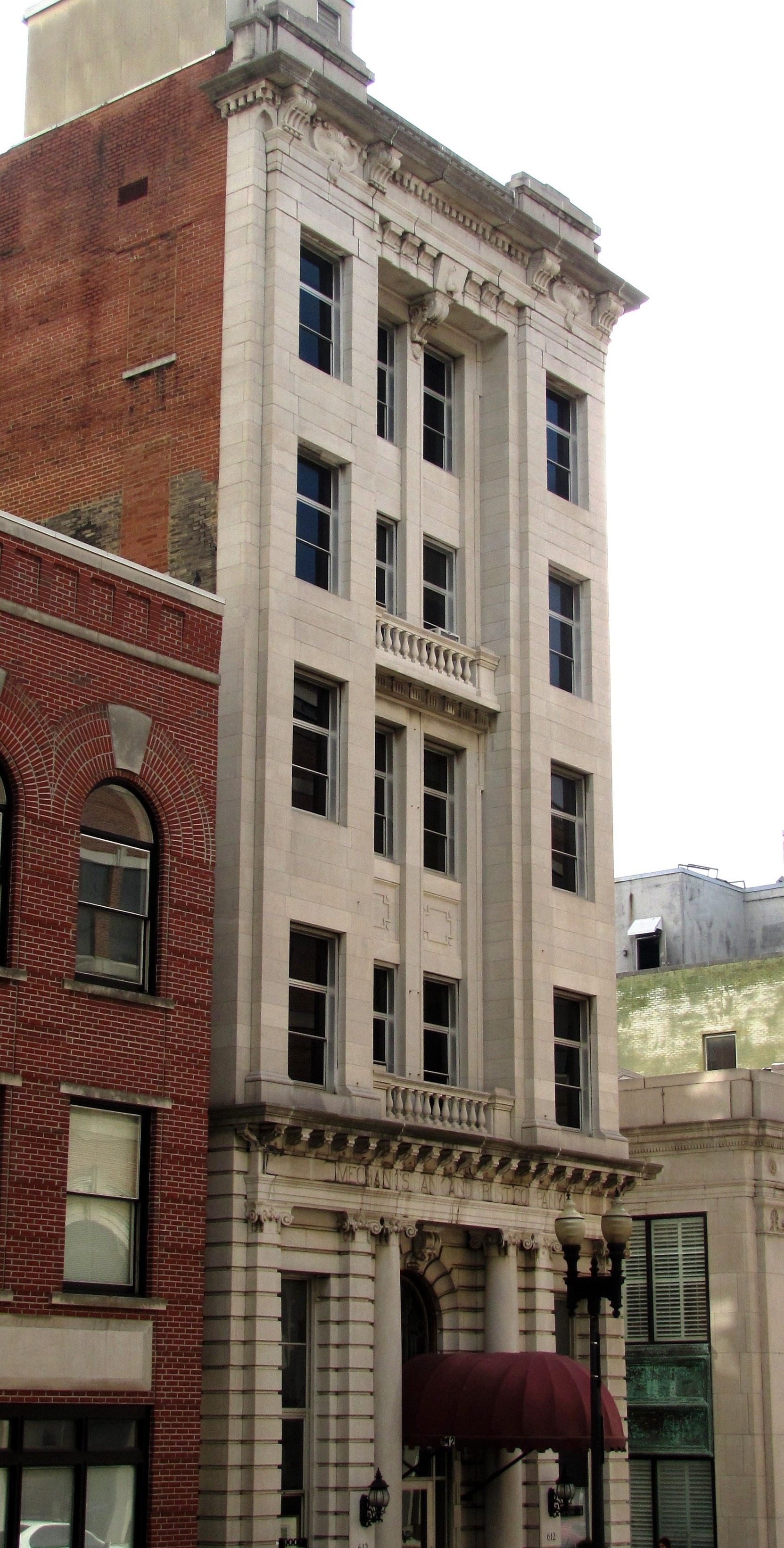
36°00′41″N 83°45′57″W / 36.011442°N 83.765958°WKnoxville Constructed circa 1785 by early Knox County pioneer Alexander McMillan (1749–1837) 63 Mechanics' Bank and Trust Company Building 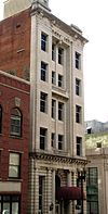
January 27, 1983 612 S. Gay St.
35°57′53″N 83°55′04″W / 35.964722°N 83.917778°WKnoxville 64 Mechanicsville Historic District 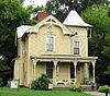
July 18, 1980 Off State Route 62
35°58′07″N 83°56′02″W / 35.968611°N 83.933889°WKnoxville Consists of several dozen houses and other buildings constructed in the late nineteenth and early twentieth centuries 65 Medical Arts Building 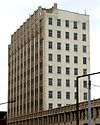
May 24, 1984 603 Main St.
35°57′39″N 83°55′11″W / 35.960833°N 83.919722°WKnoxville Built 1929-1930 as an office building for physicians; designed by Manley and Young 66 Middlebrook 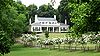
June 18, 1974 4001 Middlebrook Pike
35°57′50″N 83°58′39″W / 35.963889°N 83.9775°WKnoxville 1845-era frame house 67 Minvilla 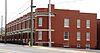
December 10, 2010 447 N. Broadway
35°58′20″N 83°55′28″W / 35.972222°N 83.924444°WKnoxville Built as a rowhouse complex in 1913; converted into Fifth Avenue Motel in the early 1960s; rehabilited as housing for the homeless, 2002-2010; designed by Baumann Brothers 68 Monday House 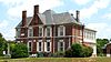
April 19, 2001 2721 Asbury Rd.
35°57′10″N 83°49′46″W / 35.952803°N 83.829542°WKnoxville Also called the Weigel-Shell House 69 Benjamin Morton House 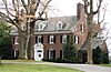
November 10, 2004 4084 Kingston Pike
35°56′39″N 83°58′26″W / 35.944167°N 83.973889°WKnoxville Built in 1927 for Knoxville mayor Benjamin Morton, designed by Baumann & Baumann 70 New Salem United Methodist Church 
August 11, 1983 2417 Tipton Station Rd.
35°53′06″N 83°53′54″W / 35.885°N 83.898333°WKnoxville Gothic Revival-style church located off Gov. John Sevier Highway in South Knox County 71 Capt. James Newman House October 30, 1998 8906 Newman Ln.
35°57′35″N 83°41′37″W / 35.959722°N 83.693611°WKnoxville 72 North Hills Historic District 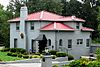
July 25, 2008 Roughly bounded by North Hills, North Park, and Fountain Park Boulevards
36°00′18″N 83°54′06″W / 36.005042°N 83.901744°WKnoxville Consists of several dozen houses built in the late 1920s and 1930s 73 Old Gray Cemetery 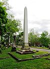
December 4, 1996 543 N. Broadway
35°58′29″N 83°55′35″W / 35.974722°N 83.926389°WKnoxville 74 Old Knoxville City Hall 
May 31, 1972 Summit Hill Dr.
35°57′55″N 83°55′24″W / 35.965278°N 83.923333°WKnoxville Originally the Deaf and Dumb Asylum, used as city hall 1923–1980; now an extension of Lincoln Memorial University; built and possibly designed by Jacob Newman 75 Old North Knoxville Historic District 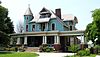
May 14, 1992 Roughly bounded by E. Woodland, Bluff, Armstrong, E. Baxter, and Central Aves.
35°59′13″N 83°55′33″W / 35.986953°N 83.925883°WKnoxville Consists of 496 houses and outbuildings constructed circa 1888–1940 76 Old Post Office Building 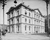
March 20, 1973 Clinch and Market Sts.
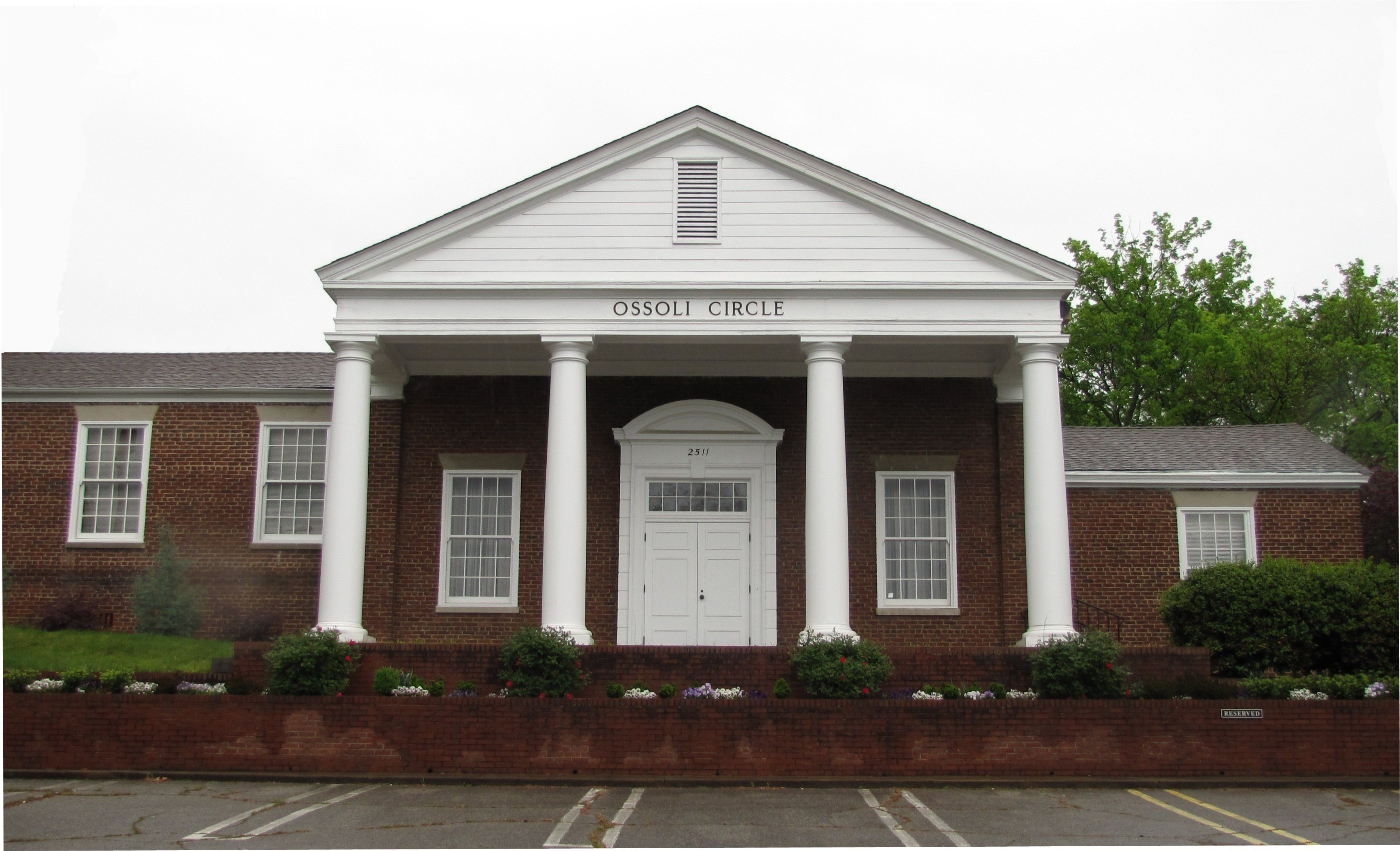
35°57′49″N 83°55′07″W / 35.963611°N 83.918611°WKnoxville Usually called the "Old Customs House," designed by Alfred B. Mullett; currently houses part of the East Tennessee History Center 77 Ossoli Circle Clubhouse 
March 21, 1985 2511 W. Cumberland Ave.
35°57′10″N 83°56′37″W / 35.952778°N 83.943611°WKnoxville Designed by Barber & McMurry 78 Park City Historic District 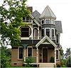
October 25, 1990 Roughly bounded by Washington Ave., Cherry St., Woodbine Ave., Beaman St., Magnolia Ave., and Winona St.
35°59′13″N 83°53′56″W / 35.986944°N 83.898889°WKnoxville Consists of several hundred houses built in the late nineteenth and early twentieth centuries in what is now the Parkridge community and its vicinity 79 Park City Junior High School 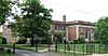
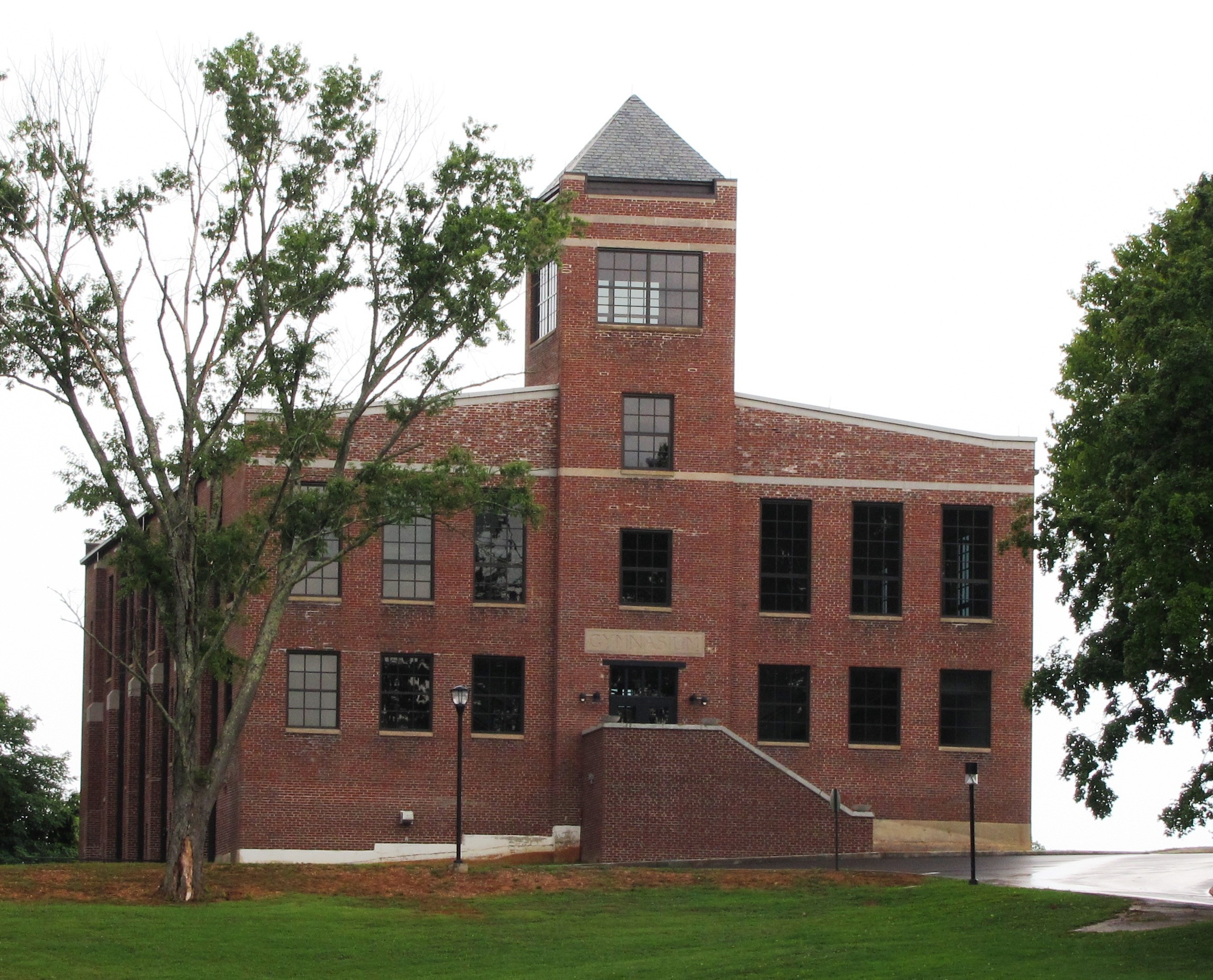
June 30, 1983 523 Bertrand St.
35°58′52″N 83°54′27″W / 35.981111°N 83.9075°WKnoxville Designed by Albert Baumann, Jr., and William B. Ittner; renovated as a condominium by Kristopher Kendrick 80 James Park House 
October 18, 1972 422 W. Cumberland Ave.
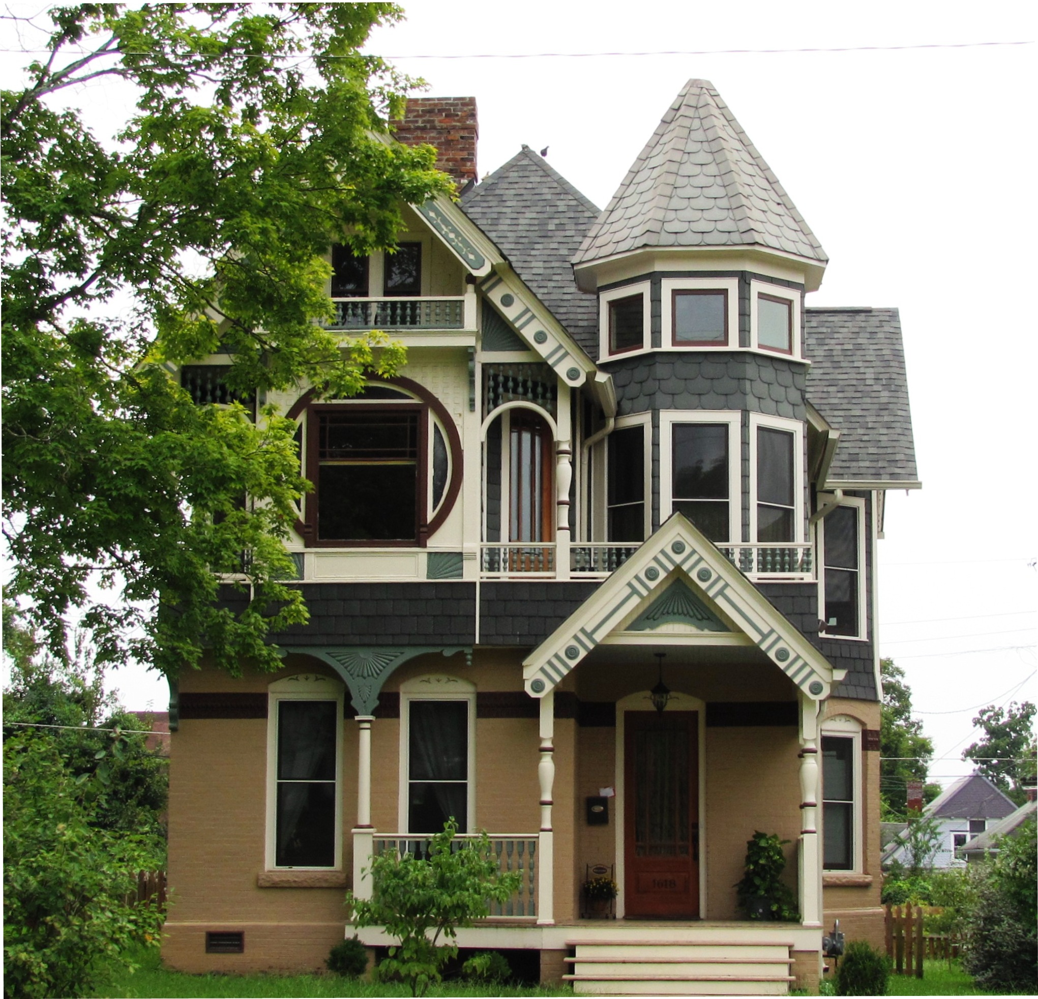
35°57′42″N 83°55′07″W / 35.961667°N 83.918611°WKnoxville Rests on foundation built in 1790s by John Sevier, house constructed in 1812 by James Park; now corporate headquarters for Gulf and Ohio Railways 81 Peters House 
March 31, 1999 1319 Grainger Ave.
35°59′20″N 83°55′10″W / 35.988889°N 83.919444°WKnoxville Built in the 1850s, remodeled in the 1890s by George Franklin Barber 82 Ivan Racheff House 
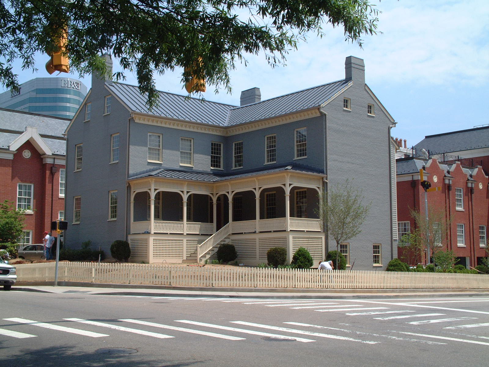
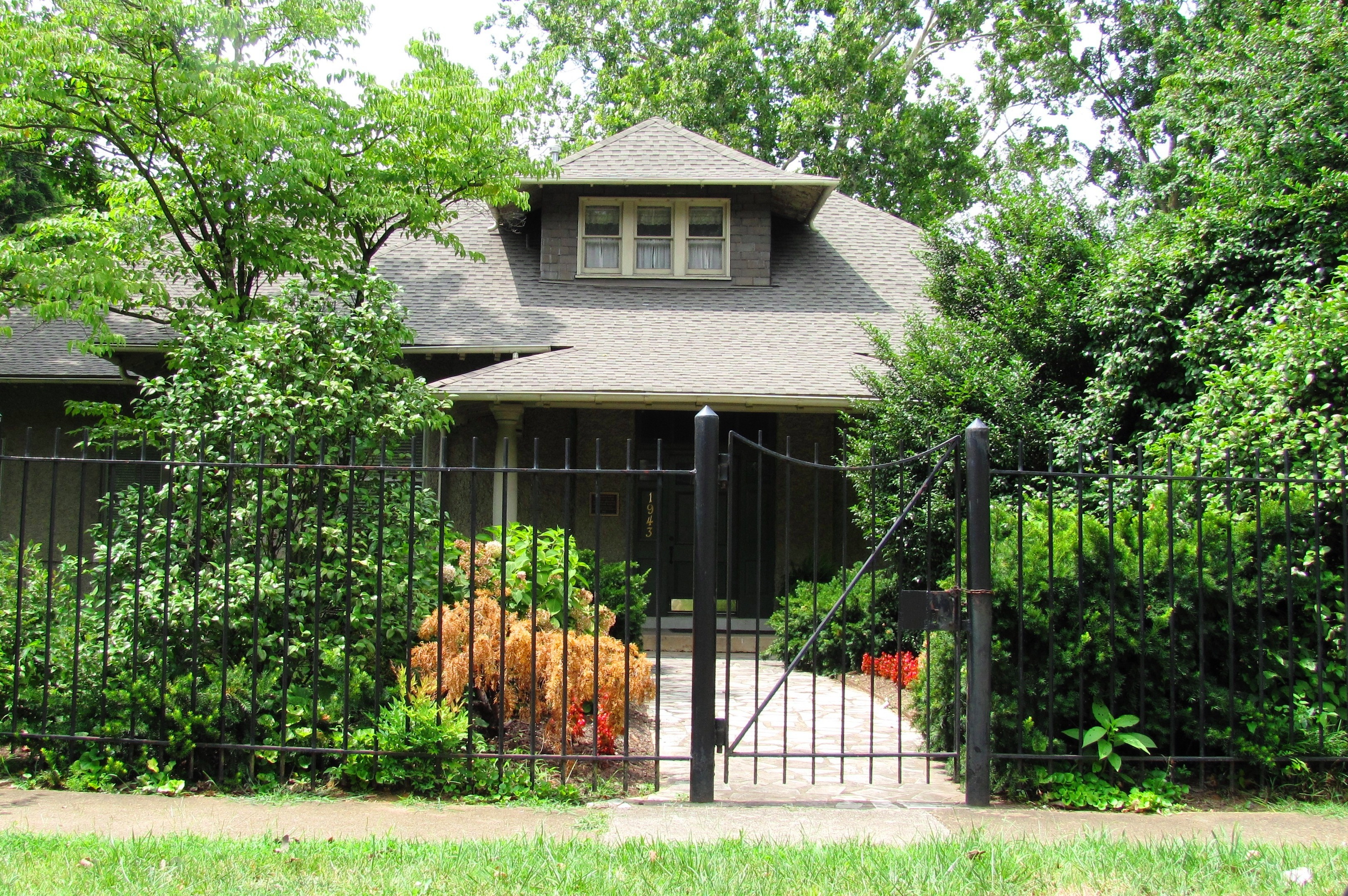
July 17, 2002 1943 Tennessee Ave.
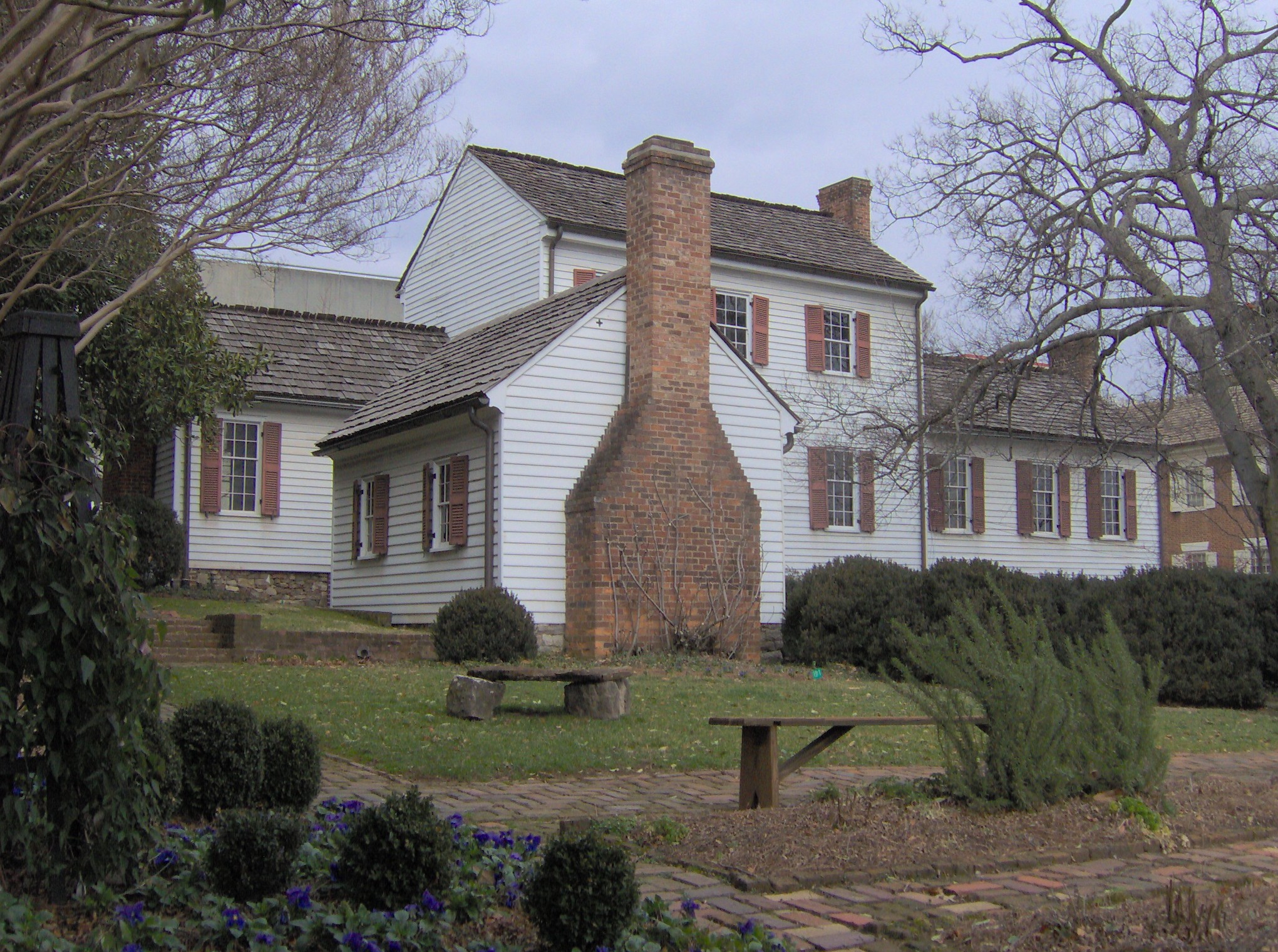
35°58′46″N 83°57′12″W / 35.979444°N 83.953333°WKnoxville Home and gardens of Knoxville Iron Company president Ivan Racheff; now a museum 83 Ramsey House 
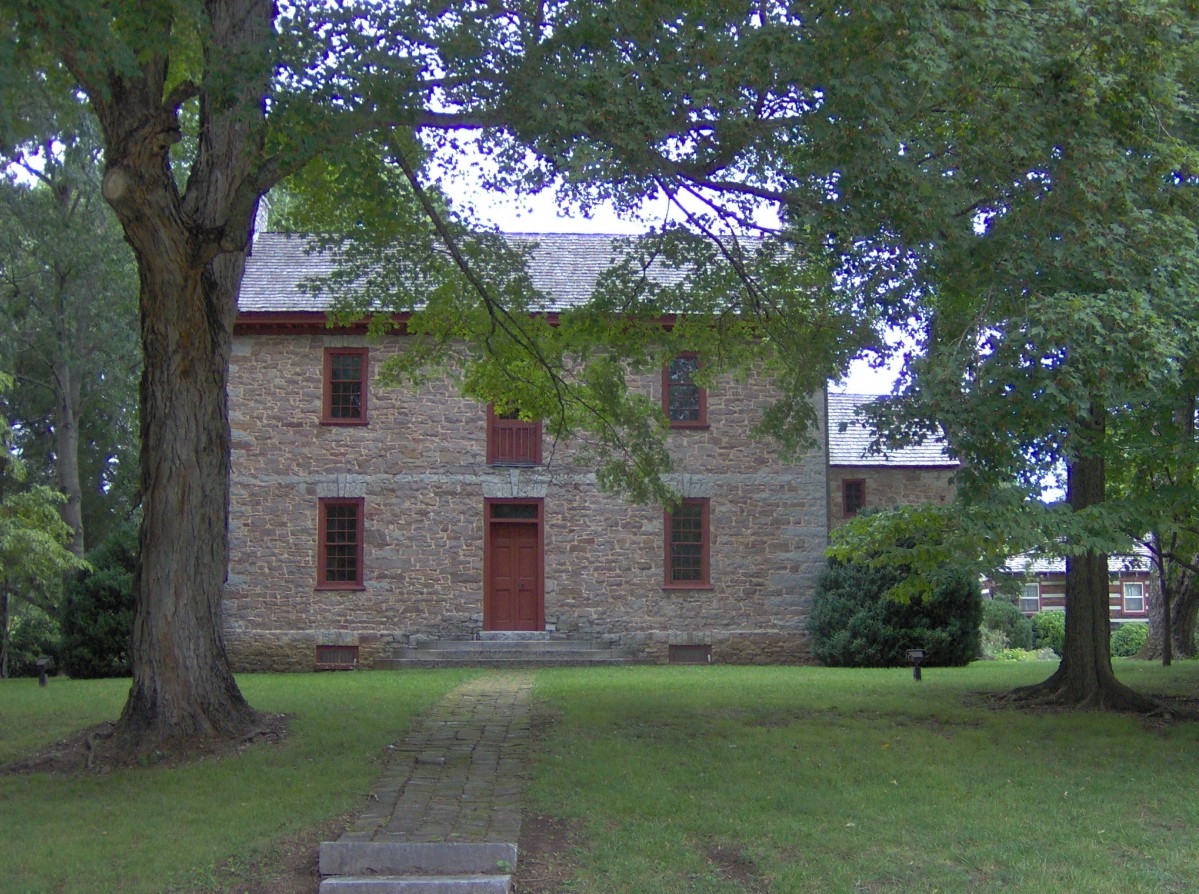
December 23, 1969 Southeast of Knoxville on Thorngrove Pike
35°58′02″N 83°49′33″W / 35.967222°N 83.825833°WKnoxville Now a museum; built by early Knoxville architect Thomas Hope 84 Riverdale Historic District 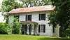
April 23, 1997 6145 and 6603 Thorngrove Pike and 6802 Hodges Ferry Rd.
35°57′32″N 83°46′27″W / 35.958889°N 83.774167°WKnoxville Contains several 19th-century houses related to the Riverdale community 85 Riverdale Mill 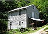
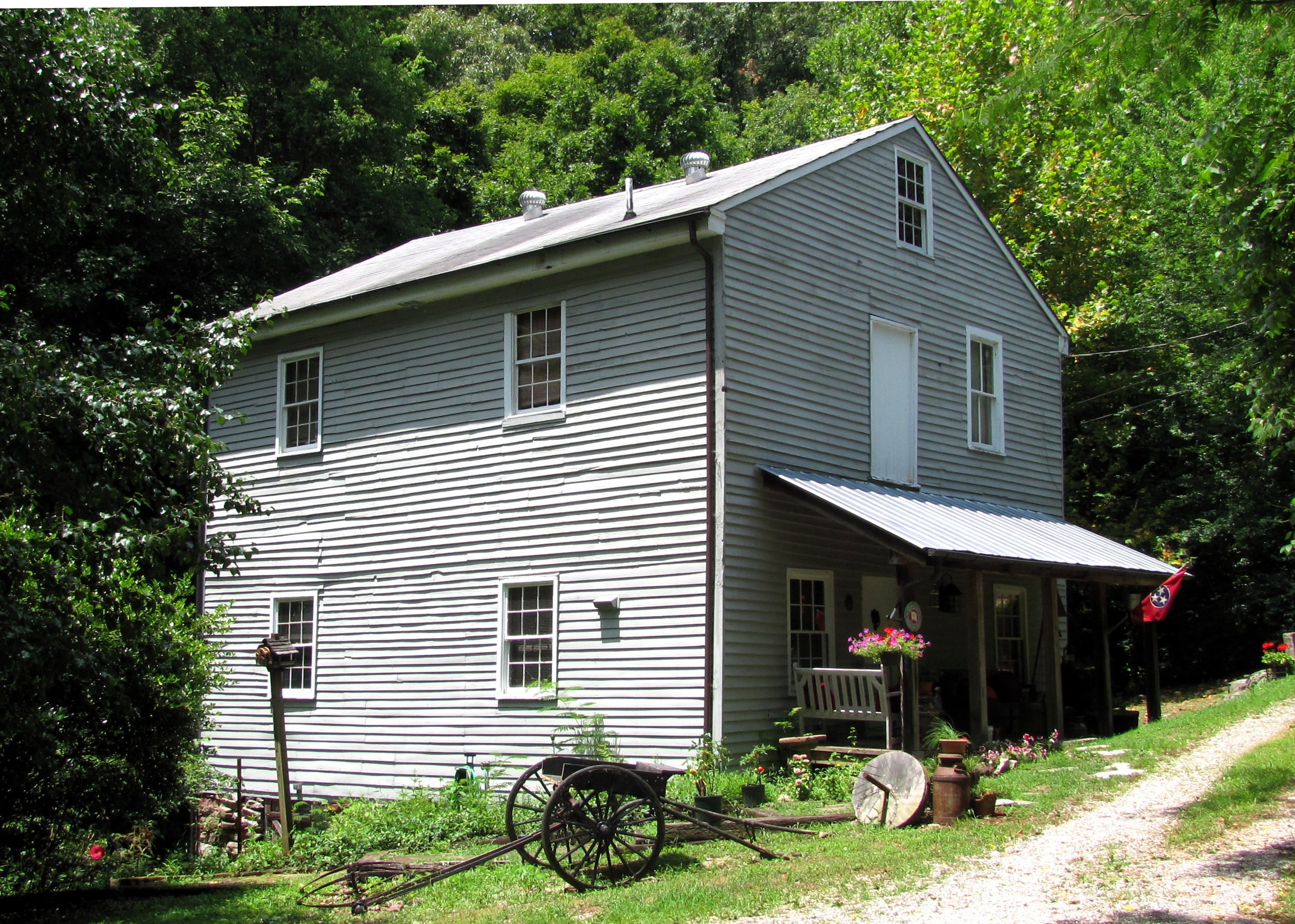
March 13, 1987 Wayland Rd. and Thorngrove Pike
35°57′32″N 83°46′37″W / 35.958889°N 83.776944°WKnoxville 19th-century gristmill; overshot wheel still intact 86 Riverdale School 
March 14, 1997 7009 Thorngrove Pike
35°57′57″N 83°45′11″W / 35.965833°N 83.753056°WKnoxville Built in 1938; designed by Barber & McMurry 87 Avery Russell House 
June 5, 1975 11409 Kingston Pike
35°52′51″N 84°09′41″W / 35.880833°N 84.161389°WFarragut Also known as the Martin-Russell House after its initial owner, Samuel Martin 88 St. John's Lutheran Church 
April 4, 1985 544 Broadway, NW.
35°58′26″N 83°55′26″W / 35.973889°N 83.923889°WKnoxville Designed by R. F. Graf 89 Savage House and Garden 
October 17, 1997 3237 Garden Dr.
36°02′31″N 83°55′38″W / 36.041944°N 83.927222°WKnoxville Japanese-style garden established circa 1915 in Knoxville's Fountain City community 90 Seven Islands Methodist Church 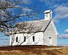
March 18, 1997 8100 Seven Islands Rd.
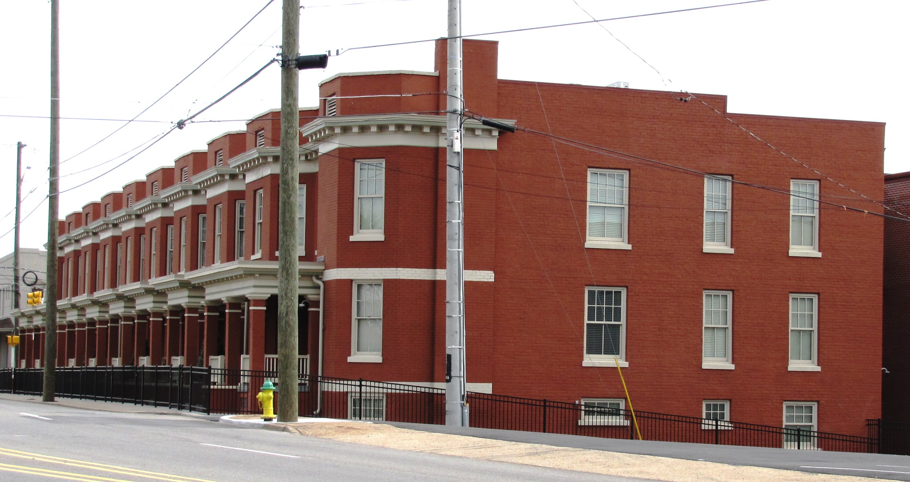
35°57′05″N 83°42′19″W / 35.951389°N 83.705278°WKnoxville Located in southeast Knox County near the Sevier County line; congregation founded in 1802, church built in the 1850s 91 South Market Historic District 
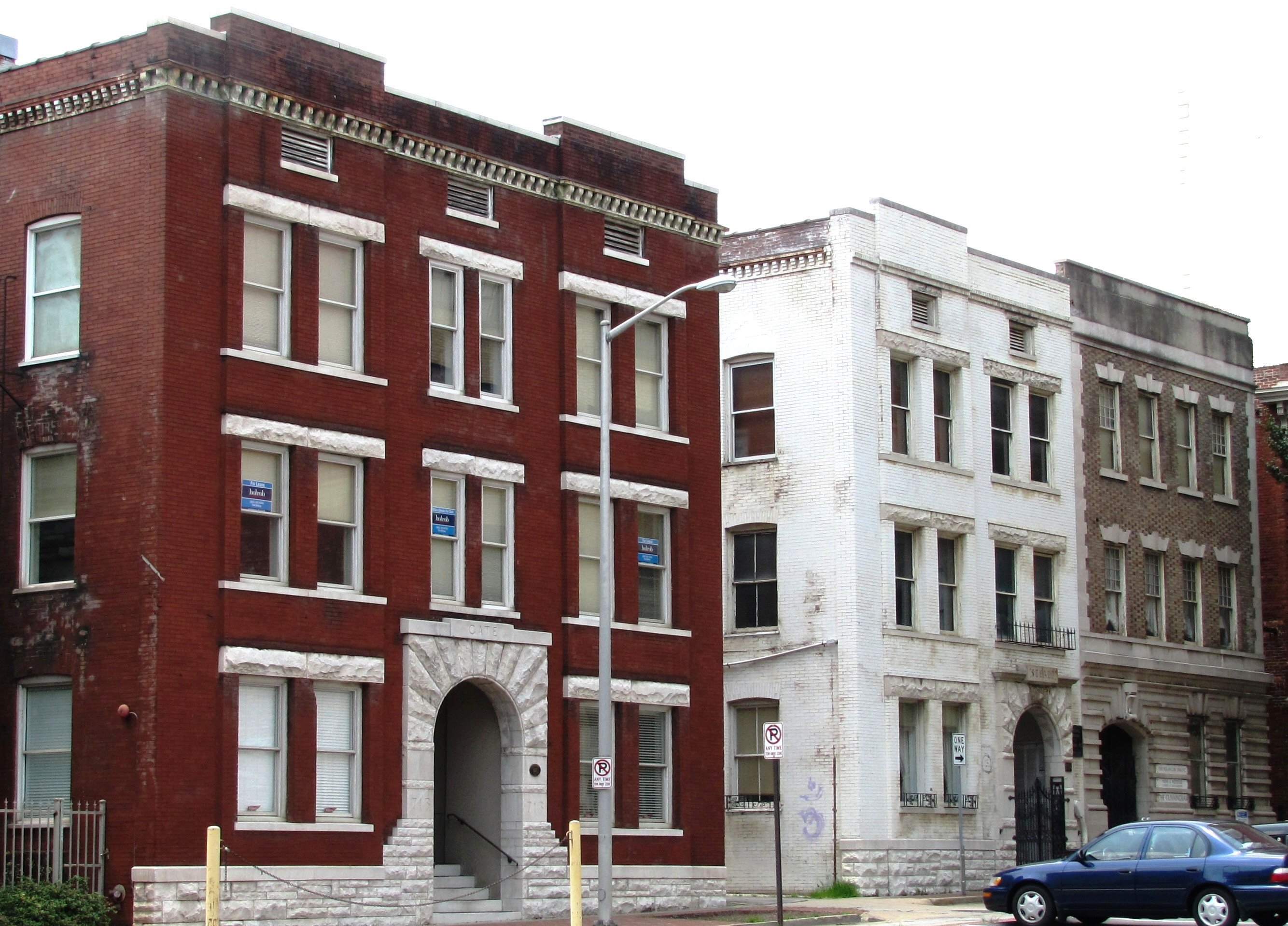
December 4, 1996 707, 709, and 713 Market St. and 404 and 406 Church Ave.
35°57′47″N 83°54′27″W / 35.963056°N 83.9075°WKnoxville Includes the Cherokee Building (404 Church), the Ely (406 Church), the Cunningham (707 Market), the Stuart (709 Market), and the Cate (713 Market), all constructed c. 1895-1907 92 Southern Terminal and Warehouse Historic District 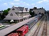
November 18, 1985 Roughly bounded by Depot Ave., N. Central Ave., Sullivan St., S. Central Ave., Vine Ave., and N. and S. Gay St.; also 100 N. Broadway and 525 W. Jackson Ave.
35°58′10″N 83°55′12″W / 35.969444°N 83.92°WKnoxville Second set of boundaries represents a boundary increase of March 10, 2004; part of this district overlaps with the Jackson Avenue Warehouse Historic District 93 Statesview 
April 24, 1973 About 10 miles southwest of Knoxville off U.S. Route 70
35°53′53″N 84°04′22″W / 35.898056°N 84.072778°WKnoxville Built by early Knoxville architect Thomas Hope for surveyor Charles McClung 94 Stratford 
July 16, 2009 809 Dry Gap Pike
36°01′40″N 83°58′24″W / 36.027722°N 83.973458°WKnoxville Built in 1910 by furniture magnate James G. Sterchi, designed by R.F. Graf; now an event center 95 Talahi Improvements 
December 26, 1979 Off U.S. Route 129
35°56′09″N 83°57′37″W / 35.935833°N 83.960278°WKnoxville Late-1920s suburban development in the Sequoyah Hills neighborhood 96 Tennessee School for the Deaf Historic District 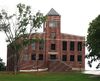
December 4, 1996 2725 Island Home Boulevard
35°57′33″N 83°52′46″W / 35.959167°N 83.879444°WKnoxville 97 Trinity Methodist Episcopal Church 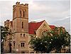
August 26, 1982 416 Lovenia Ave.
35°58′41″N 83°55′18″W / 35.978056°N 83.921667°WKnoxville Now called the "Knoxville House of Faith," home to a Pentecostal congregation 98 Tyson Junior High School 
July 1, 1998 2607 Kingston Pike
35°57′08″N 83°56′45″W / 35.952222°N 83.945833°WKnoxville Designed by Baumann & Baumann; now an office building 99 U. T. Agriculture Farm Mound 
March 30, 1978 Address Restricted Knoxville Late Woodland period mound built circa 1000 A.D. 100 Westwood 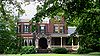
November 8, 1984 3425 Kingston Pike
35°56′55″N 83°56′58″W / 35.948611°N 83.949444°WKnoxville Also known as the Adelia Armstrong Lutz House; designed by Baumann Brothers 101 Gen. John T. Wilder House 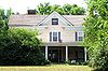
November 24, 1997 2027 Riverside Dr.
35°57′59″N 83°53′23″W / 35.966389°N 83.889722°WKnoxville Built in 1904 by General John T. Wilder 102 Col. John Williams House 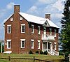
December 3, 1980 2325 Dandridge Ave.
35°58′17″N 83°53′08″W / 35.971389°N 83.885556°WKnoxville Home of senator and diplomat John Williams See also
- History of Knoxville, Tennessee
- List of National Historic Landmarks in Tennessee
- National Register of Historic Places listings in Tennessee
References
- ^ The latitude and longitude information provided in this table was derived originally from the National Register Information System, which has been found to be fairly accurate for about 99% of listings. For about 1% of NRIS original coordinates, experience has shown that one or both coordinates are typos or otherwise extremely far off; some corrections may have been made. A more subtle problem causes many locations to be off by up to 150 yards, depending on location in the country: most NRIS coordinates were derived from tracing out latitude and longitudes off of USGS topographical quadrant maps created under the North American Datum of 1927, which differs from the current, highly accurate WGS84 GPS system used by Google maps. Chicago is about right, but NRIS longitudes in Washington are higher by about 4.5 seconds, and are lower by about 2.0 seconds in Maine. Latitudes differ by about 1.0 second in Florida. Some locations in this table may have been corrected to current GPS standards.
- ^ "National Register of Historic Places: Weekly List Actions". National Park Service, United States Department of the Interior. Retrieved on November 10, 2011.
- ^ Numbers represent an ordering by significant words. Various colorings, defined here, differentiate National Historic Landmark sites and National Register of Historic Places Districts from other NRHP buildings, structures, sites or objects.
- ^ "National Register Information System". National Register of Historic Places. National Park Service. . http://nrhp.focus.nps.gov/natreg/docs/All_Data.html.
Further reading
- Ash, Stephen V. Past Times : A Daybook of Knoxville History. Knoxville News-Sentinel, 1991.
- Barber, John W., and Howe, Henry. All the Western States and Territories, . . . (Cincinnati, Ohio: Howe's Subscription Book Concern, 1867). pp. 631-632.
- Deaderick, Lucille. Heart of the Valley: A History of Knoxville, Tennessee. (East Tennessee Historical Society, 1976).
- Folmsbee, Stanley J. and Lucile Deaderick. The Founding of Knoxville. (East Tennessee Historical Society, 1941.)
- History of Tennessee from the Earliest Time to the Present: Together With an Historical and a Biographical Sketch of From Twenty-Five to Thirty Counties of East Tennessee. (The Goodspeed Publishing Co., Chicago, Nashville, 1887.)
- Hooper, Ed. Images of America: Knoxville. (Arcadia Publishing, 2003).
- Humes, Thomas W. The Half-Century of Knoxville: Being the Address and Proceedings at the Semi-Centennial Anniversary of the Settlement of the Town, February 10, 1842. To which is added an appendix: containing a number of historical documents. (Printed at the Register Office, Knoxville, Tennessee, 1852).
- Isenhour, Judith Clayton. Knoxville, A Pictorial History. (Donning Company, 1978, 1980).
- Knoxville: Fifty Landmarks. (Knoxville: The Knoxville Heritage Committee of the Junior League of Knoxville, 1976).
- Powell, Lyman Pierson, editor. Historic Towns of the Southern States. (G. P. Putnam, New York, London, 1900).
- Rothrock, Mary U., editor. The French Broad-Holston Country: A History of Knox County, Tennessee. (Knox County Historical Committee; East Tennessee Historical Society, 1946).
- The Future of Knoxville's Past: Historic and Architectural Resources in Knoxville, Tennessee. (Knoxville Historic Zoning Commission, October, 2006).
External links
- National Register of Historic Places
- City of Knoxville: History
- Knoxville Civil War Sites
- Knoxville MPC Historic Structures Information
- TNGenWeb Knox County History
- Library of Congress - Historic Buildings Survey: Knox County
- Restore Knoxville Website: Neighborhoods
- city-data.com: Knoxville History
- State of Tennessee: East Tennessee Civil War Sites
U.S. National Register of Historic Places Topics Lists by states Alabama • Alaska • Arizona • Arkansas • California • Colorado • Connecticut • Delaware • Florida • Georgia • Hawaii • Idaho • Illinois • Indiana • Iowa • Kansas • Kentucky • Louisiana • Maine • Maryland • Massachusetts • Michigan • Minnesota • Mississippi • Missouri • Montana • Nebraska • Nevada • New Hampshire • New Jersey • New Mexico • New York • North Carolina • North Dakota • Ohio • Oklahoma • Oregon • Pennsylvania • Rhode Island • South Carolina • South Dakota • Tennessee • Texas • Utah • Vermont • Virginia • Washington • West Virginia • Wisconsin • WyomingLists by territories Lists by associated states Other Municipalities and communities of Knox County, Tennessee City 
Town Unincorporated
communitiesConcord | Corryton | Halls Crossroads | Karns | Mascot | New Hopewell | Powell | Solway | Strawberry Plains‡
Footnotes ‡This populated place also has portions in an adjacent county or counties
Categories:- History of Knoxville, Tennessee
- National Register of Historic Places in Tennessee by county
- Knox County, Tennessee
- Buildings and structures in Knox County, Tennessee
-


Wikimedia Foundation. 2010.