- National Register of Historic Places listings in Monroe County, Tennessee
-
 Location of Monroe County in Tennessee
This is a list of the National Register of Historic Places listings in Monroe County, Tennessee.
This is intended to be a complete list of the properties and districts on the National Register of Historic Places in Monroe County, Tennessee, United States. Latitude and longitude coordinates are provided for many National Register properties and districts; these locations may be seen together in a Google map.[1]
There are 18 properties listed on the National Register in the county, including 1 National Historic Landmark.
Contents: Counties in Tennessee Anderson – Bedford – Benton – Bledsoe – Blount – Bradley – Campbell – Cannon – Carroll – Carter – Cheatham – Chester – Claiborne – Clay – Cocke – Coffee – Crockett – Cumberland – Davidson – Decatur – DeKalb – Dickson – Dyer – Fayette – Fentress – Franklin – Gibson – Giles – Grainger – Greene – Grundy – Hamblen – Hamilton – Hancock – Hardeman – Hardin – Hawkins – Haywood – Henderson – Henry – Hickman – Houston – Humphreys – Jackson – Jefferson – Johnson – Knox – Lake – Lauderdale – Lawrence – Lewis – Lincoln – Loudon – Macon – Madison – Marion – Marshall – Maury – McMinn – McNairy – Meigs – Monroe – Montgomery – Moore – Morgan – Obion – Overton – Perry – Pickett – Polk – Putnam – Rhea – Roane – Robertson – Rutherford – Scott – Sequatchie – Sevier – Shelby – Smith – Stewart – Sullivan – Sumner – Tipton – Trousdale – Unicoi – Union – Van Buren – Warren – Washington – Wayne – Weakley – White – Williamson – Wilson -
- This National Park Service list is complete through NPS recent listings posted November 10, 2011.[2]
Current listings
[3] Landmark name[4] Image Date listed Location City or Town Summary 1 Calderwood Dam 
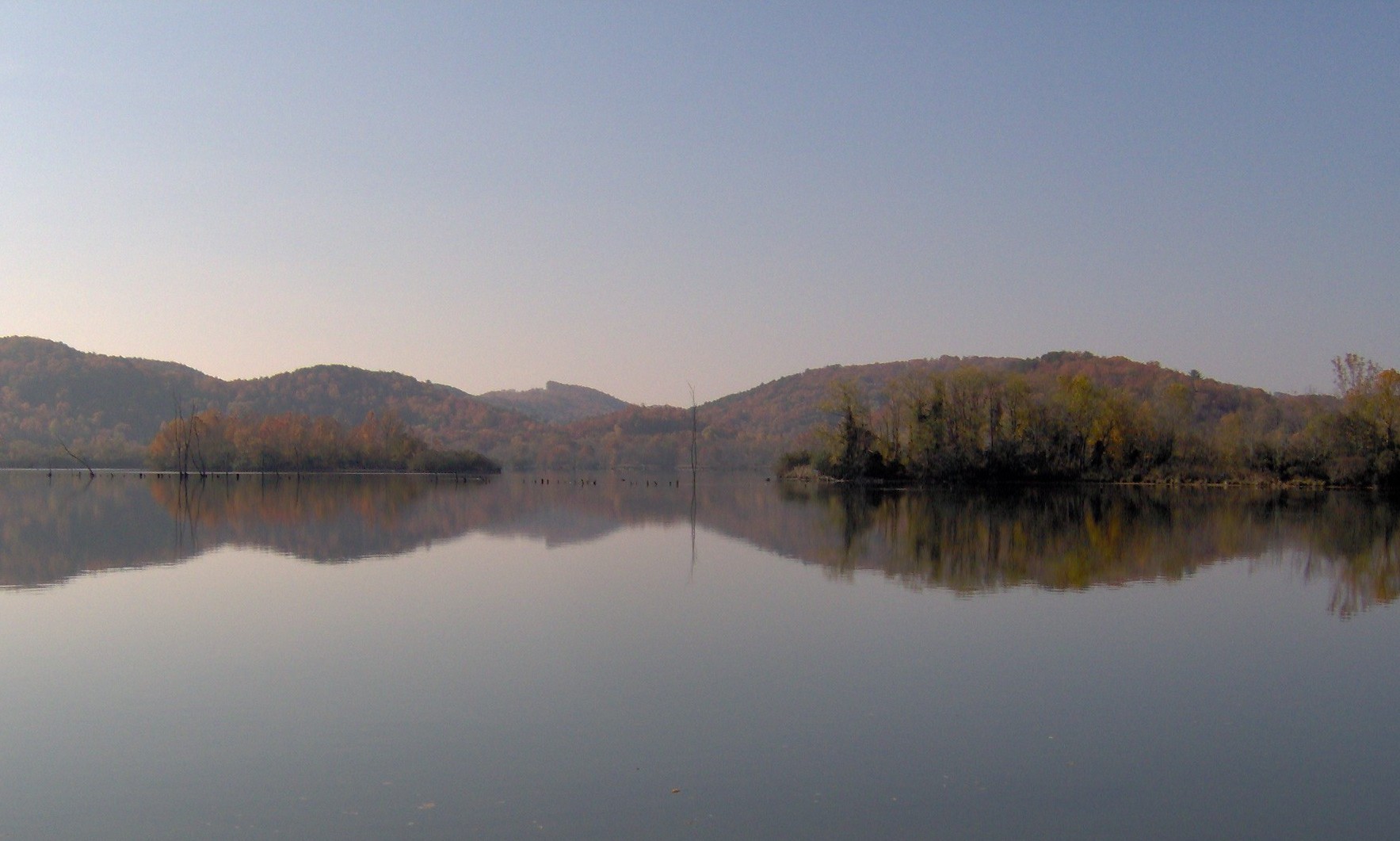
August 21, 1989 Tennessee River at the end of Calderwood Rd.
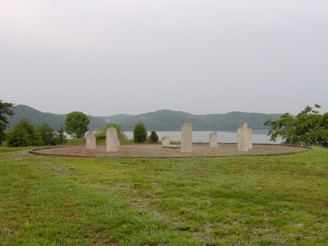
35°29′32″N 83°58′58″W / 35.49222°N 83.98278°WCalderwood Extends into Blount County 2 Chota and Tanasi Cherokee Village Sites 
August 30, 1973 Address Restricted Vonore 3 Citico Site 
November 2, 1978 Address Restricted Vonore 4 Cooke-Kefauver House October 17, 1988 Kefauver Lane
35°30′40″N 84°21′28″W / 35.51111°N 84.35778°WMadisonville 5 First Presbyterian Church July 25, 2001 601 Church St.
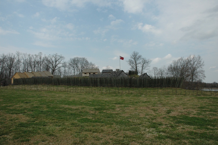
35°36′9″N 84°27′49″W / 35.6025°N 84.46361°WSweetwater 6 Fort Loudoun 
October 15, 1966 U.S. Route 411
35°35′45″N 84°12′13″W / 35.59583°N 84.20361°WVonore 7 William J. Fowler Mill and House January 27, 1983 Sweetwater Rd.
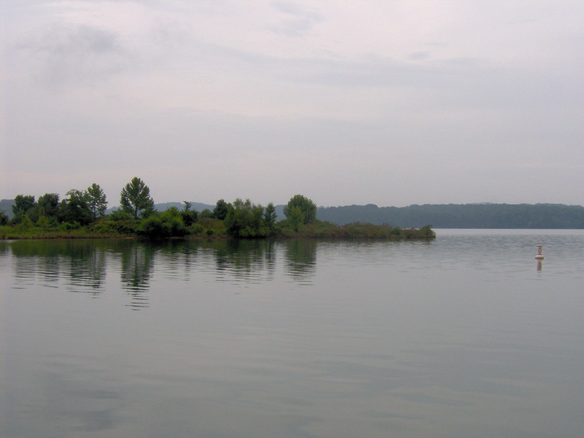
35°38′35″N 84°18′43″W / 35.64306°N 84.31194°WEve Mills 8 Icehouse Bottom Site 
October 19, 1978 Address Restricted Vonore Archaic and Woodland period site excavated in the early 1970s 9 Elisha Johnson Mansion December 24, 1974 Ballplay Rd.
35°21′30″N 84°16′25″W / 35.35833°N 84.27361°WTellico Plains 10 John McCroskey House February 18, 2000 3224 Sweetwater-Vonore Rd.
35°36′33″N 84°21′15″W / 35.60917°N 84.35417°WSweetwater 11 Mialoquo Site 
October 19, 1978 Address Restricted Vonore 12 Monroe County Courthouse 
March 30, 1995 Town Sq.
35°31′11″N 84°21′46″W / 35.51972°N 84.36278°WMadisonville 13 Charles Owen House July 15, 1998 1019 Mayes St.
35°36′31″N 84°27′47″W / 35.60861°N 84.46306°WSweetwater 14 Scott Mansion January 21, 1993 Scott Mansion Rd., about 1¼ miles east of State Route 68
35°23′13″N 84°17′20″W / 35.38694°N 84.28889°WTellico Plains 15 Stickley House September 10, 1974 West of the junction of U.S. Route 411 and State Route 68
35°31′9″N 84°21′58″W / 35.51917°N 84.36611°WMadisonville 16 Tellico Blockhouse Site 
August 11, 1975 2 miles east of Vonore off State Route 72
35°36′0″N 84°12′11″W / 35.6°N 84.20306°WVonore 17 Tomotley Site 
October 19, 1978 Address Restricted Vonore 18 Toqua Site 
November 16, 1978 Address Restricted Vonore See also
- List of National Historic Landmarks in Tennessee
- National Register of Historic Places listings in Tennessee
References
- ^ The latitude and longitude information provided in this table was derived originally from the National Register Information System, which has been found to be fairly accurate for about 99% of listings. For about 1% of NRIS original coordinates, experience has shown that one or both coordinates are typos or otherwise extremely far off; some corrections may have been made. A more subtle problem causes many locations to be off by up to 150 yards, depending on location in the country: most NRIS coordinates were derived from tracing out latitude and longitudes off of USGS topographical quadrant maps created under the North American Datum of 1927, which differs from the current, highly accurate WGS84 GPS system used by Google maps. Chicago is about right, but NRIS longitudes in Washington are higher by about 4.5 seconds, and are lower by about 2.0 seconds in Maine. Latitudes differ by about 1.0 second in Florida. Some locations in this table may have been corrected to current GPS standards.
- ^ "National Register of Historic Places: Weekly List Actions". National Park Service, United States Department of the Interior. Retrieved on November 10, 2011.
- ^ Numbers represent an ordering by significant words. Various colorings, defined here, differentiate National Historic Landmark sites and National Register of Historic Places Districts from other NRHP buildings, structures, sites or objects.
- ^ "National Register Information System". National Register of Historic Places. National Park Service. 2008-04-24. http://nrhp.focus.nps.gov/natreg/docs/All_Data.html.
U.S. National Register of Historic Places Topics Lists by states Alabama • Alaska • Arizona • Arkansas • California • Colorado • Connecticut • Delaware • Florida • Georgia • Hawaii • Idaho • Illinois • Indiana • Iowa • Kansas • Kentucky • Louisiana • Maine • Maryland • Massachusetts • Michigan • Minnesota • Mississippi • Missouri • Montana • Nebraska • Nevada • New Hampshire • New Jersey • New Mexico • New York • North Carolina • North Dakota • Ohio • Oklahoma • Oregon • Pennsylvania • Rhode Island • South Carolina • South Dakota • Tennessee • Texas • Utah • Vermont • Virginia • Washington • West Virginia • Wisconsin • WyomingLists by territories Lists by associated states Other Municipalities and communities of Monroe County, Tennessee Cities 
Towns Sweetwater‡ | Vonore‡
Unincorporated
communitiesCoker Creek | Hopewell Mill | Hopewell Springs | Jalapa | Mount Vernon
Footnotes ‡This populated place also has portions in an adjacent county or counties
Categories:- National Register of Historic Places in Tennessee by county
- Monroe County, Tennessee
- Buildings and structures in Monroe County, Tennessee
-


Wikimedia Foundation. 2010.