- National Register of Historic Places listings in Maury County, Tennessee
-
 Location of Maury County in Tennessee
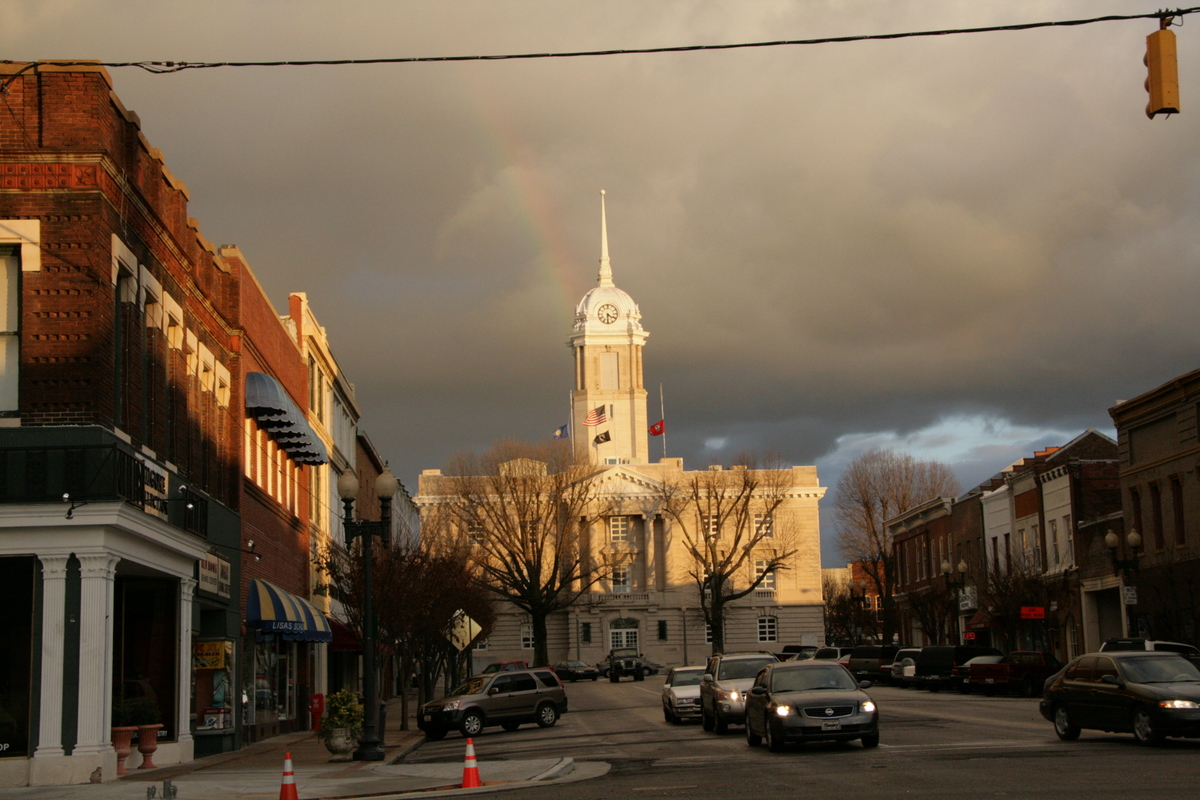
This is a list of the National Register of Historic Places listings in Maury County, Tennessee.
This is intended to be a complete list of the properties and districts on the National Register of Historic Places in Maury County, Tennessee, United States. Latitude and longitude coordinates are provided for many National Register properties and districts; these locations may be seen together in a Google map.[1]
There are 65 properties and districts listed on the National Register in the county, including 2 National Historic Landmarks.
Contents: Counties in Tennessee Anderson – Bedford – Benton – Bledsoe – Blount – Bradley – Campbell – Cannon – Carroll – Carter – Cheatham – Chester – Claiborne – Clay – Cocke – Coffee – Crockett – Cumberland – Davidson – Decatur – DeKalb – Dickson – Dyer – Fayette – Fentress – Franklin – Gibson – Giles – Grainger – Greene – Grundy – Hamblen – Hamilton – Hancock – Hardeman – Hardin – Hawkins – Haywood – Henderson – Henry – Hickman – Houston – Humphreys – Jackson – Jefferson – Johnson – Knox – Lake – Lauderdale – Lawrence – Lewis – Lincoln – Loudon – Macon – Madison – Marion – Marshall – Maury – McMinn – McNairy – Meigs – Monroe – Montgomery – Moore – Morgan – Obion – Overton – Perry – Pickett – Polk – Putnam – Rhea – Roane – Robertson – Rutherford – Scott – Sequatchie – Sevier – Shelby – Smith – Stewart – Sullivan – Sumner – Tipton – Trousdale – Unicoi – Union – Van Buren – Warren – Washington – Wayne – Weakley – White – Williamson – Wilson -
- This National Park Service list is complete through NPS recent listings posted November 10, 2011.[2]
Current listings
[3] Landmark name [4] Image Date listed Location City or town Summary 1 Jonathan Amis House April 26, 1984 Covey Hollow Rd.
35°29′27″N 87°02′43″W / 35.490833°N 87.045278°WMcCains 2 Ashwood Rural Historic District February 10, 1989 Spans U.S. Route 43 between Columbia and Mount Pleasant
35°34′24″N 87°08′18″W / 35.573333°N 87.138333°WColumbia 3 The Athenaeum April 24, 1973 808 Athenaeum St.
35°36′51″N 87°02′29″W / 35.614167°N 87.041389°WColumbia 4 Beechlawn Advance and Retreat May 14, 1971 South of Columbia on U.S. Route 31
35°34′08″N 87°02′32″W / 35.568889°N 87.042222°WColumbia 5 Blythewood April 11, 1973 Trotwood and Hatcher Lane
35°36′17″N 87°03′09″W / 35.604722°N 87.0525°WColumbia 6 Merritt H. Booker House July 18, 1985 Scott Hollow Rd.
35°28′15″N 87°00′33″W / 35.470833°N 87.009167°WCulleoka 7 Breckenridge Hatter's Shop December 13, 1984 N. Main St.
35°32′07″N 87°12′23″W / 35.535278°N 87.206389°WMount Pleasant 8 Martin Cheairs House 
December 12, 1976 U.S. Route 31
35°44′53″N 86°55′54″W / 35.748056°N 86.931667°WSpring Hill 9 Church House October 19, 1978 312 W. 7th St.
35°36′56″N 87°02′19″W / 35.615556°N 87.038611°WColumbia 10 Cleburne Jersey Farm November 22, 2000 2319 Sugar Ridge Rd.
35°46′32″N 80°56′19″W / 35.775556°N 80.938611°WSpring Hill 11 Clifton Place July 8, 1970 Southwest of Columbia on the Mt. Pleasant Highway
35°34′40″N 87°06′52″W / 35.577778°N 87.114444°WColumbia 12 Columbia Arsenal September 19, 1977 W. 7th St.
35°36′53″N 87°03′30″W / 35.614722°N 87.058333°WColumbia 13 Columbia Central High School April 21, 1980 W. 8th St.
35°36′49″N 87°02′29″W / 35.613611°N 87.041389°WColumbia 14 Columbia Commercial Historic District 
August 16, 1984 Roughly bounded by 7th, 8th, Woodland, and High St.
35°36′50″N 87°02′04″W / 35.613889°N 87.034444°WColumbia 15 Columbia Hydroelectric Station February 9, 1990 Riverside Park, Riverside Dr., and the Duck River
35°36′56″N 87°00′53″W / 35.615556°N 87.014722°WColumbia 16 Columbia West End Historic District March 13, 1986 Roughly along W. 7th St. between Frierson St. and the former Seaboard System railroad line
35°36′58″N 87°02′49″W / 35.616111°N 87.046944°WColumbia 17 Culleoka Methodist Episcopal Church, South May 22, 1986 Quality St.
35°28′53″N 86°59′06″W / 35.481389°N 86.985°WCulleoka 18 Derryberry House November 7, 1990 New Lasea Rd. east of its junction with Interstate 65
35°40′21″N 86°52′40″W / 35.6725°N 86.877778°WSpring Hill 19 Elm Springs March 13, 1986 Mooresville Pike
35°35′05″N 87°01′50″W / 35.584722°N 87.030556°WColumbia 20 Ewell Farm 
May 24, 1976 Depot Lane
35°45′38″N 86°56′37″W / 35.760556°N 86.943611°WSpring Hill 21 Fairmont September 1, 1983 Mooresville Pike
35°35′10″N 87°01′31″W / 35.586111°N 87.025278°WColumbia 22 First United Methodist Church of Columbia August 30, 1984 222 W. 7th St.
35°36′55″N 87°02′11″W / 35.615278°N 87.036389°WColumbia 23 Lucius Frierson House September 1, 1978 W. 7th St.
35°36′57″N 87°02′25″W / 35.615833°N 87.040278°WColumbia 24 John Gordon House April 18, 1974 Northwest of Williamsport off State Route 50
35°43′11″N 87°15′38″W / 35.719722°N 87.260556°WWilliamsport 25 Grace Episcopal Church May 17, 1976 U.S. Route 31
35°45′09″N 86°55′45″W / 35.7525°N 86.929167°WSpring Hill 26 Hamilton Place July 16, 1973 Mt. Pleasant Pike, west of Columbia off U.S. Route 43
35°34′18″N 87°09′11″W / 35.571667°N 87.153056°WColumbia 27 James Kennedy House November 6, 1987 Rogers Ford Rd.
35°39′25″N 86°59′45″W / 35.656944°N 86.995833°WColumbia 28 Patrick Maguire House December 15, 1983 105 N. Campbell Boulevard
35°37′34″N 87°02′28″W / 35.626111°N 87.041111°WColumbia 29 Dr. Samuel Mayes House October 25, 1993 Junction of Zion Ln. and Canaan Rd.
35°36′00″N 87°10′53″W / 35.6°N 87.181389°WColumbia 30 Mayes-Hutton House July 8, 1970 306 W. 6th St.
35°37′01″N 87°02′17″W / 35.616944°N 87.038056°WColumbia 31 Mercer Hall 
December 16, 1982 902 Mercer Ct.
35°36′35″N 87°02′46″W / 35.609722°N 87.046111°WColumbia 32 Mount Pleasant Commercial Historic District November 13, 2003 Roughly bounded by N. and S. Main Sts., Public Sq., and Hay Long Ave.
35°31′52″N 87°54′05″W / 35.531111°N 87.901389°WMount Pleasant 33 North Main Street Historic District August 8, 1989 Roughly N. Main St. from Shofner St. to 3rd St.
35°32′24″N 87°12′14″W / 35.54°N 87.203889°WMount Pleasant 34 Old Natchez Trace May 30, 1975 From the Alabama/Tennessee border to State Route 100 in Davidson County Santa Fe Extends into Davidson, Hickman, Lawrence, Lewis, Wayne, and Williamson counties 35 Pillow Place December 8, 1983 Campbellsville Pike
35°34′17″N 87°04′52″W / 35.571389°N 87.081111°WColumbia 36 Pillow-Bethel House December 12, 1976 Southwest of Columbia off U.S. Route 43
35°34′05″N 87°06′56″W / 35.568056°N 87.115556°WColumbia 37 Pine Hill December 15, 1983 Old Zion Lane
35°35′11″N 87°07′39″W / 35.586389°N 87.1275°WAshwood 38 Pleasant Historic District August 8, 1989 Roughly bounded by Haylong Ave., Pleasant, Bond, Wheeler, Adams, and Cherry Sts., Washington Ave., and College St.
35°32′06″N 87°12′48″W / 35.535°N 87.213333°WMount Pleasant 39 Pleasant Mount Cumberland Presbyterian Church August 16, 1977 Southeast of Columbia off State Route 50
35°32′32″N 86°58′08″W / 35.542222°N 86.968889°WColumbia 40 Polk Sisters' House May 21, 1975 305 W. 7th St.
35°36′54″N 87°02′16″W / 35.615°N 87.037778°WColumbia 41 James K. Polk House 
October 15, 1966 W. 7th and S. High Sts.
35°36′54″N 87°02′14″W / 35.615°N 87.037222°WColumbia 42 Prewitt-Amis-Finney House December 1, 1997 2629 Pullen Mill Rd.
35°27′44″N 87°00′02″W / 35.462222°N 87.000556°WCulleoka 43 Rally Hill August 16, 1984 319 W. 8th St.
35°36′48″N 87°02′20″W / 35.613333°N 87.038889°WColumbia 44 Rattle and Snap 
November 11, 1971 Andrew Jackson Highway (State Route 43)
35°33′38″N 87°09′12″W / 35.560556°N 87.153333°WColumbia 45 Rippavilla 
July 19, 1996 U.S. Route 31, approximately 1.5 miles south of its junction with Kedron Rd.
35°43′54″N 86°57′14″W / 35.731667°N 86.953889°WSpring Hill 46 Ritter-Morton House December 12, 1976 McLemore Ave.
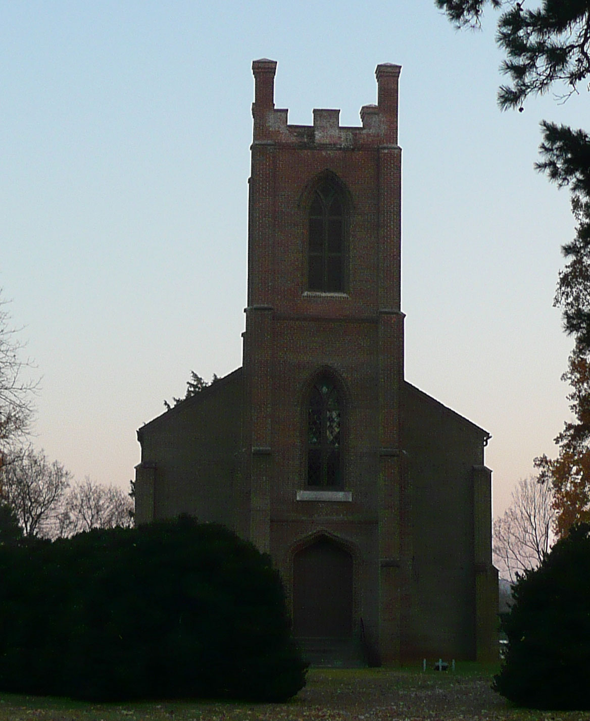
35°45′02″N 86°55′45″W / 35.750556°N 86.929167°WSpring Hill 47 Rockdale Furnace Historic District (40MU487) July 21, 1988 Address Restricted Rockdale 48 St. John's Episcopal Church 
July 8, 1970 West of Columbia on U.S. Route 43
35°34′27″N 87°08′20″W / 35.574167°N 87.138889°WColumbia 49 St. Mark United Primitive Baptist Church July 14, 2000 Maury Hill St.
35°45′01″N 86°55′58″W / 35.750278°N 86.932778°WSpring Hill 50 St. Peter's Episcopal Church June 27, 1979 311 W. 7th St.
35°36′52″N 87°02′18″W / 35.614444°N 87.038333°WColumbia 51 Andrew Scott House August 4, 1995 3991 Pulaski Highway
35°27′57″N 87°02′31″W / 35.465833°N 87.041944°WCulleoka 52 Shelby Bend Archeological District February 1, 1990 Address Restricted Greenfield Bend Extends into Hickman County 53 Skipwith Hall November 23, 1977 West of Columbia on State Route 50
35°38′29″N 87°08′35″W / 35.641389°N 87.143056°WColumbia 54 Spring Hill Presbyterian Church July 19, 1984 S. Main St.
35°44′56″N 86°55′52″W / 35.748889°N 86.931111°WSpring Hill 55 State Bank of Tennessee November 2, 1978 201 W. 7th St.
35°36′53″N 87°02′09″W / 35.614722°N 87.035833°WColumbia 56 Absalom Thompson House September 11, 1979 South of Spring Hill on Denning Rd
35°43′19″N 86°55′47″W / 35.721944°N 86.929722°WSpring Hill 57 Union Station October 23, 1986 Depot St.
35°36′29″N 87°02′14″W / 35.608056°N 87.037222°WColumbia 58 Vine Hill July 15, 1983 Sawdust Rd.
35°38′47″N 87°12′47″W / 35.646389°N 87.213056°WCross Bridges 59 Walnut Grove March 8, 1984 510 N. Main St.
35°32′25″N 87°12′11″W / 35.540278°N 87.203056°WMount Pleasant 60 William Watkins House October 23, 1986 Canaan Rd.
35°33′53″N 87°11′39″W / 35.564722°N 87.194167°WMount Pleasant 61 Webster Farm July 19, 1996 3166 Hampshire Pike
35°37′19″N 87°13′15″W / 35.621944°N 87.220833°WCross Bridges 62 George Webster House April 5, 1984 Sawdust Rd.
35°38′02″N 87°12′44″W / 35.633889°N 87.212222°WWilliamsport 63 West Sixth Street and Mayes Place Historic District February 25, 1978 W. 6th St. and Mayes Pl.
35°37′00″N 87°02′18″W / 35.616667°N 87.038333°WColumbia 64 White Hall April 5, 1984 Duplex Rd.
35°45′08″N 86°55′32″W / 35.752222°N 86.925556°WSpring Hill 65 Zion Presbyterian Church 
June 13, 1972 6.3 miles west of Columbia off State Route 99 Columbia See also
- List of National Historic Landmarks in Tennessee
- National Register of Historic Places listings in Tennessee
References
- ^ The latitude and longitude information provided in this table was derived originally from the National Register Information System, which has been found to be fairly accurate for about 99% of listings. For about 1% of NRIS original coordinates, experience has shown that one or both coordinates are typos or otherwise extremely far off; some corrections may have been made. A more subtle problem causes many locations to be off by up to 150 yards, depending on location in the country: most NRIS coordinates were derived from tracing out latitude and longitudes off of USGS topographical quadrant maps created under the North American Datum of 1927, which differs from the current, highly accurate WGS84 GPS system used by Google maps. Chicago is about right, but NRIS longitudes in Washington are higher by about 4.5 seconds, and are lower by about 2.0 seconds in Maine. Latitudes differ by about 1.0 second in Florida. Some locations in this table may have been corrected to current GPS standards.
- ^ "National Register of Historic Places: Weekly List Actions". National Park Service, United States Department of the Interior. Retrieved on November 10, 2011.
- ^ Numbers represent an ordering by significant words. Various colorings, defined here, differentiate National Historic Landmark sites and National Register of Historic Places Districts from other NRHP buildings, structures, sites or objects.
- ^ "National Register Information System". National Register of Historic Places. National Park Service. . http://nrhp.focus.nps.gov/natreg/docs/All_Data.html.
U.S. National Register of Historic Places Topics Lists by states Alabama • Alaska • Arizona • Arkansas • California • Colorado • Connecticut • Delaware • Florida • Georgia • Hawaii • Idaho • Illinois • Indiana • Iowa • Kansas • Kentucky • Louisiana • Maine • Maryland • Massachusetts • Michigan • Minnesota • Mississippi • Missouri • Montana • Nebraska • Nevada • New Hampshire • New Jersey • New Mexico • New York • North Carolina • North Dakota • Ohio • Oklahoma • Oregon • Pennsylvania • Rhode Island • South Carolina • South Dakota • Tennessee • Texas • Utah • Vermont • Virginia • Washington • West Virginia • Wisconsin • WyomingLists by territories Lists by associated states Other Municipalities and communities of Maury County, Tennessee Cities 
Unincorporated
communitiesCulleoka | Fly | Hampshire | Hopewell | Santa Fe | Williamsport
Footnotes ‡This populated place also has portions in an adjacent county or counties
Categories:- National Register of Historic Places in Tennessee by county
- Maury County, Tennessee
- Buildings and structures in Maury County, Tennessee
-


Wikimedia Foundation. 2010.