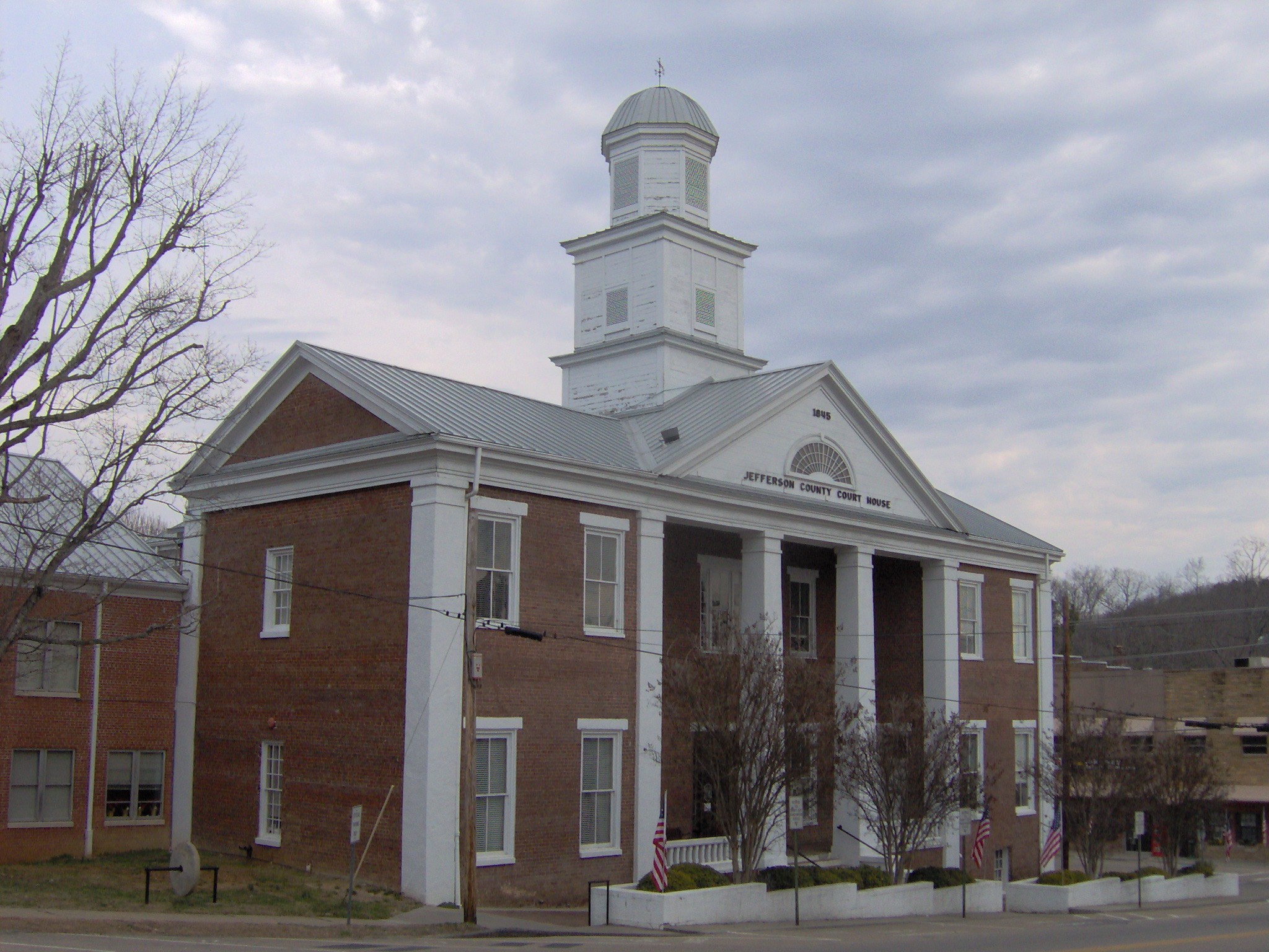
- National Register of Historic Places listings in Jefferson County, Tennessee
-
 Location of Jefferson County in Tennessee
This is a list of the National Register of Historic Places listings in Jefferson County, Tennessee.
This is intended to be a complete list of the properties and districts on the National Register of Historic Places in Jefferson County, Tennessee, United States. Latitude and longitude coordinates are provided for many National Register properties and districts; these locations may be seen together in a Google map.[1]
There are 12 properties and districts listed on the National Register in the county.
Contents: Counties in Tennessee Anderson – Bedford – Benton – Bledsoe – Blount – Bradley – Campbell – Cannon – Carroll – Carter – Cheatham – Chester – Claiborne – Clay – Cocke – Coffee – Crockett – Cumberland – Davidson – Decatur – DeKalb – Dickson – Dyer – Fayette – Fentress – Franklin – Gibson – Giles – Grainger – Greene – Grundy – Hamblen – Hamilton – Hancock – Hardeman – Hardin – Hawkins – Haywood – Henderson – Henry – Hickman – Houston – Humphreys – Jackson – Jefferson – Johnson – Knox – Lake – Lauderdale – Lawrence – Lewis – Lincoln – Loudon – Macon – Madison – Marion – Marshall – Maury – McMinn – McNairy – Meigs – Monroe – Montgomery – Moore – Morgan – Obion – Overton – Perry – Pickett – Polk – Putnam – Rhea – Roane – Robertson – Rutherford – Scott – Sequatchie – Sevier – Shelby – Smith – Stewart – Sullivan – Sumner – Tipton – Trousdale – Unicoi – Union – Van Buren – Warren – Washington – Wayne – Weakley – White – Williamson – Wilson -
- This National Park Service list is complete through NPS recent listings posted November 10, 2011.[2]
Current listings
[3] Landmark name [4] Image Date listed Location City or town Summary 1 Branner-Hicks House July 9, 1974 East of Jefferson City on Chucky Rd.
36°08′10″N 83°28′26″W / 36.136111°N 83.473889°WJefferson City 2 Christ Temple AME Zion Church November 9, 2005 235 E. Meeting St.
36°01′19″N 83°24′32″W / 36.021944°N 83.408889°WDandridge 3 Cox's Mill January 27, 1983 North of Jefferson City on Fielden's Store Rd.
36°09′24″N 83°31′34″W / 36.156667°N 83.526111°WJefferson City 4 Dandridge Historic District 
January 22, 1973 Town center around Main, Meeting, and Gay Sts.
36°01′00″N 83°24′53″W / 36.016667°N 83.414722°WDandridge 5 Fairfax April 13, 1973 Southeast of White Pine off U.S. Route 25E
36°04′04″N 83°15′09″W / 36.067778°N 83.2525°WWhite Pine 6 Fairvue 
April 12, 1982 Andrew Johnson Highway
36°08′27″N 83°27′50″W / 36.140833°N 83.463889°WJefferson City 7 Lawson D. Franklin House April 13, 1973 Southeast of White Pine off U.S. Route 25E
36°05′18″N 83°15′35″W / 36.088333°N 83.259722°WWhite Pine 8 Glenmore April 13, 1973 Off U.S. Route 11E
36°07′40″N 83°28′59″W / 36.127778°N 83.483056°WJefferson City 9 Hill-Hance House August 26, 1982 East of Chestnut Hill off U.S. Route 411
35°56′27″N 83°18′29″W / 35.940833°N 83.308056°WChestnut Hill 10 New Market Presbyterian Church July 1, 1998 1000 W. Old Andrew Johnson Highway
36°06′00″N 83°33′07″W / 36.1°N 83.551944°WNew Market 11 Squirewood Hall July 16, 1973 Cherokee Dr.
36°00′55″N 83°25′20″W / 36.015278°N 83.422222°WDandridge 12 Strawberry Plains Fortification February 5, 1999 Address Restricted Strawberry Plains See also
- List of National Historic Landmarks in Tennessee
- National Register of Historic Places listings in Tennessee
References
- ^ The latitude and longitude information provided in this table was derived originally from the National Register Information System, which has been found to be fairly accurate for about 99% of listings. For about 1% of NRIS original coordinates, experience has shown that one or both coordinates are typos or otherwise extremely far off; some corrections may have been made. A more subtle problem causes many locations to be off by up to 150 yards, depending on location in the country: most NRIS coordinates were derived from tracing out latitude and longitudes off of USGS topographical quadrant maps created under the North American Datum of 1927, which differs from the current, highly accurate WGS84 GPS system used by Google maps. Chicago is about right, but NRIS longitudes in Washington are higher by about 4.5 seconds, and are lower by about 2.0 seconds in Maine. Latitudes differ by about 1.0 second in Florida. Some locations in this table may have been corrected to current GPS standards.
- ^ "National Register of Historic Places: Weekly List Actions". National Park Service, United States Department of the Interior. Retrieved on November 10, 2011.
- ^ Numbers represent an ordering by significant words. Various colorings, defined here, differentiate National Historic Landmark sites and National Register of Historic Places Districts from other NRHP buildings, structures, sites or objects.
- ^ "National Register Information System". National Register of Historic Places. National Park Service. . http://nrhp.focus.nps.gov/natreg/docs/All_Data.html.
U.S. National Register of Historic Places Topics Lists by states Alabama • Alaska • Arizona • Arkansas • California • Colorado • Connecticut • Delaware • Florida • Georgia • Hawaii • Idaho • Illinois • Indiana • Iowa • Kansas • Kentucky • Louisiana • Maine • Maryland • Massachusetts • Michigan • Minnesota • Mississippi • Missouri • Montana • Nebraska • Nevada • New Hampshire • New Jersey • New Mexico • New York • North Carolina • North Dakota • Ohio • Oklahoma • Oregon • Pennsylvania • Rhode Island • South Carolina • South Dakota • Tennessee • Texas • Utah • Vermont • Virginia • Washington • West Virginia • Wisconsin • WyomingLists by territories Lists by associated states Other Municipalities and communities of Jefferson County, Tennessee Cities 
Towns Unincorporated
communitiesFootnotes ‡This populated place also has portions in an adjacent county or counties
Categories:- National Register of Historic Places in Tennessee by county
- Jefferson County, Tennessee
- Buildings and structures in Jefferson County, Tennessee
-

Wikimedia Foundation. 2010.