- National Register of Historic Places listings in Giles County, Tennessee
-
 Location of Giles County in Tennessee
This is a list of the National Register of Historic Places listings in Giles County, Tennessee.
This is intended to be a complete list of the properties and districts on the National Register of Historic Places in Giles County, Tennessee, United States. Latitude and longitude coordinates are provided for many National Register properties and districts; these locations may be seen together in a Google map.[1]
There are 34 properties and districts listed on the National Register in the county.
Contents: Counties in Tennessee Anderson – Bedford – Benton – Bledsoe – Blount – Bradley – Campbell – Cannon – Carroll – Carter – Cheatham – Chester – Claiborne – Clay – Cocke – Coffee – Crockett – Cumberland – Davidson – Decatur – DeKalb – Dickson – Dyer – Fayette – Fentress – Franklin – Gibson – Giles – Grainger – Greene – Grundy – Hamblen – Hamilton – Hancock – Hardeman – Hardin – Hawkins – Haywood – Henderson – Henry – Hickman – Houston – Humphreys – Jackson – Jefferson – Johnson – Knox – Lake – Lauderdale – Lawrence – Lewis – Lincoln – Loudon – Macon – Madison – Marion – Marshall – Maury – McMinn – McNairy – Meigs – Monroe – Montgomery – Moore – Morgan – Obion – Overton – Perry – Pickett – Polk – Putnam – Rhea – Roane – Robertson – Rutherford – Scott – Sequatchie – Sevier – Shelby – Smith – Stewart – Sullivan – Sumner – Tipton – Trousdale – Unicoi – Union – Van Buren – Warren – Washington – Wayne – Weakley – White – Williamson – Wilson -
- This National Park Service list is complete through NPS recent listings posted November 10, 2011.[2]
Current listings
[3] Landmark name [4] Image Date listed Location City or town Summary 1 Abernathy Farm April 19, 2001 9441 Elkton Pike
35°05′37″N 86°57′29″W / 35.093611°N 86.958056°WConway 2 Bass-Morrell House November 10, 1988 State Route 293/Bryson Rd.
35°05′19″N 86°51′54″W / 35.088611°N 86.865°WArdmore 3 Bethany Presbyterian Church Complex November 13, 1989 Elkton Rd.
35°05′51″N 86°51′39″W / 35.0975°N 86.860833°WBryson 4 Bodenham (Colored) School April 5, 2006 830 Gimlet Creek Rd.
35°15′05″N 87°10′24″W / 35.251389°N 87.173333°WBodeham 5 Bridgeforth High School August 9, 2006 1095 Bledsoe Rd.
35°12′45″N 87°01′35″W / 35.2125°N 87.026389°WPulaski 6 Brown-Daly-Horne House December 6, 1979 307 W. Madison St.
35°11′58″N 87°02′01″W / 35.199444°N 87.033611°WPulaski 7 Campbell Chapel African Methodist Episcopal Church June 22, 2000 311 Mill St.
35°13′30″N 87°2′15″W / 35.225°N 87.0375°W[5]Pulaski 8 Church of the Messiah July 28, 1983 W. Madison and N. 3rd Sts.
35°12′00″N 87°01′59″W / 35.2°N 87.033056°WPulaski 9 Clifton Place April 11, 1973 Campbellsville Rd.
35°16′05″N 87°04′24″W / 35.268056°N 87.073333°WWales 10 Elk River Fortification September 29, 1998 Address Restricted Prospect 11 First Presbyterian Church of Pulaski July 28, 1983 202 S. 2nd St.
35°11′53″N 87°01′59″W / 35.198056°N 87.033056°WPulaski 12 Matt Gardner House July 28, 1995 U.S. Route 31 at its junction with Dixontown Rd.
35°02′46″N 86°53′11″W / 35.046111°N 86.886389°WElkton 13 Hallehurst September 6, 2006 106 Little Dry Creek Rd.
35°15′13″N 87°05′22″W / 35.253611°N 87.089444°WPulaski 14 Austin Hewitt Home December 13, 1984 322 E. Washington St.
35°12′04″N 87°01′38″W / 35.201111°N 87.027222°WPulaski 15 Lairdland Farm House September 7, 1995 3238 Blackburn Hollow Rd.
35°16′33″N 86°54′00″W / 35.275833°N 86.9°WBrick Church 16 Lynnville Historic District April 1, 1988 Roughly bounded by Mill St., Main, and School Rd., and Long St., the former L&N railroad line, and Water and Buggs Sts.
35°22′36″N 87°00′23″W / 35.376667°N 87.006389°WLynnville 17 Maplewood Cemetery November 15, 2005 South Sam Davis Ave.
35°11′38″N 87°01′43″W / 35.193889°N 87.028611°WPulaski 18 Milky Way Farm September 27, 1984 U.S. Route 31
35°18′37″N 87°02′15″W / 35.310278°N 87.0375°WPulaski 19 Noblit-Lytle House August 1, 2008 1311 Sugar Creek Rd.
35°01′38″N 87°13′00″W / 35.027344°N 87.216589°WMinor Hill 20 Olivet United Methodist Church, Parsonage and School July 19, 1984 Columbia Pike
35°17′40″N 87°01′34″W / 35.294444°N 87.026111°WRiversburg 21 Original Church of God August 9, 2006 115 Gordon St.
35°12′34″N 87°01′41″W / 35.209444°N 87.028056°WPulaski 22 Pisgah United Methodist Church and Cemetery November 23, 1984 Pisgah Rd.
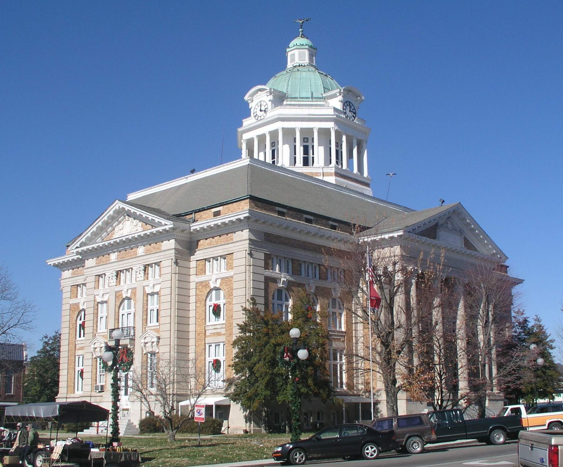
35°10′46″N 86°54′43″W / 35.179444°N 86.911944°WPisgah 23 Pulaski Courthouse Square Historic District 
August 11, 1983 1st, Jefferson, Madison, and 2nd Sts.; also 114 E. Jefferson St.
35°11′59″N 87°01′52″W / 35.199722°N 87.031111°WPulaski 114 Jefferson represents a boundary increase of July 3, 1997 24 Reveille October 28, 1994 408 W. Madison
35°12′01″N 87°02′04″W / 35.200278°N 87.034444°WPulaski 25 Sam Davis Avenue Historic District March 2, 1989 Sam Davis Ave. and E. Madison St.
35°11′51″N 87°01′37″W / 35.1975°N 87.026944°WPulaski 26 Dr. Benjamin Franklin Smith House August 23, 2006 13494 Columbia Highway
35°22′42″N 87°01′54″W / 35.378333°N 87.031667°WWaco 27 South Pulaski Historic District July 10, 1986 Roughly bounded by W. College, 1st, Cemetery, and S. 3rd Sts.
35°11′41″N 87°02′02″W / 35.194722°N 87.033889°WPulaski 28 George W. Tillery House July 5, 1985 U.S. Route 31N
35°14′10″N 87°02′35″W / 35.236111°N 87.043056°WPulaski 29 Elisha White House March 4, 1983 West of Waco on Yokley Rd.
35°22′32″N 87°02′09″W / 35.375556°N 87.035833°WWaco 30 Newton White House October 22, 1987 Old Pigeon Roost Rd.
35°13′56″N 87°01′09″W / 35.232222°N 87.019167°WPulaski 31 Copeland Whitfield House July 7, 1988 Bee Line Highway
35°10′21″N 87°00′59″W / 35.1725°N 87.016389°WPulaski 32 Wilkerson Place October 23, 1986 Miller Hollow Rd.
35°17′56″N 87°04′51″W / 35.298889°N 87.080833°WWales 33 Wilkinson-Martin House March 17, 2010 954 N. 1st St.
35°12′31″N 87°01′37″W / 35.208503°N 87.026986°WPulaski 34 Wilson-Young House April 13, 1973 Southwest of Dellrose off Interstate 65
35°05′45″N 86°50′19″W / 35.095833°N 86.838611°WDellrose See also
- List of National Historic Landmarks in Tennessee
- National Register of Historic Places listings in Tennessee
References
- ^ The latitude and longitude information provided in this table was derived originally from the National Register Information System, which has been found to be fairly accurate for about 99% of listings. For about 1% of NRIS original coordinates, experience has shown that one or both coordinates are typos or otherwise extremely far off; some corrections may have been made. A more subtle problem causes many locations to be off by up to 150 yards, depending on location in the country: most NRIS coordinates were derived from tracing out latitude and longitudes off of USGS topographical quadrant maps created under North American Datum of 1927, which differs from the current, highly accurate GPS system used by Google maps. Chicago is about right, but NRIS longitudes in Washington are higher by about 4.5 seconds, and are lower by about 2.0 seconds in Maine. Latitudes differ by about 1.0 second in Florida. Some locations in this table may have been corrected to current GPS standards.
- ^ "National Register of Historic Places: Weekly List Actions". National Park Service, United States Department of the Interior. Retrieved on November 10, 2011.
- ^ Numbers represent an ordering by significant words. Various colorings, defined here, differentiate National Historic Landmark sites and National Register of Historic Places Districts from other NRHP buildings, structures, sites or objects.
- ^ "National Register Information System". National Register of Historic Places. National Park Service. . http://nrhp.focus.nps.gov/natreg/docs/All_Data.html.
- ^ Street address is derived from this AME directory page; the NRIS lists it simply as "in Pulaski"
U.S. National Register of Historic Places Topics Lists by states Alabama • Alaska • Arizona • Arkansas • California • Colorado • Connecticut • Delaware • Florida • Georgia • Hawaii • Idaho • Illinois • Indiana • Iowa • Kansas • Kentucky • Louisiana • Maine • Maryland • Massachusetts • Michigan • Minnesota • Mississippi • Missouri • Montana • Nebraska • Nevada • New Hampshire • New Jersey • New Mexico • New York • North Carolina • North Dakota • Ohio • Oklahoma • Oregon • Pennsylvania • Rhode Island • South Carolina • South Dakota • Tennessee • Texas • Utah • Vermont • Virginia • Washington • West Virginia • Wisconsin • WyomingLists by territories Lists by associated states Other  Category:National Register of Historic Places •
  Portal:National Register of Historic Places
Municipalities and communities of Giles County, Tennessee County seat: Pulaski Cities Ardmore | Elkton | Minor Hill | Pulaski

Town Unincorporated
CommunityAspen Hill | Prospect | Waco
Categories:- National Register of Historic Places in Tennessee by county
- Giles County, Tennessee
- Buildings and structures in Giles County, Tennessee
-
Wikimedia Foundation. 2010.