- National Register of Historic Places listings in Madison County, Tennessee
-
 Location of Madison County in Tennessee
This is a list of the National Register of Historic Places listings in Madison County, Tennessee.
This is intended to be a complete list of the properties and districts on the National Register of Historic Places in Madison County, Tennessee, United States. Latitude and longitude coordinates are provided for many National Register properties and districts; these locations may be seen together in a Google map.[1]
There are 28 properties and districts listed on the National Register in the county, including 1 National Historic Landmark.
Contents: Counties in Tennessee Anderson – Bedford – Benton – Bledsoe – Blount – Bradley – Campbell – Cannon – Carroll – Carter – Cheatham – Chester – Claiborne – Clay – Cocke – Coffee – Crockett – Cumberland – Davidson – Decatur – DeKalb – Dickson – Dyer – Fayette – Fentress – Franklin – Gibson – Giles – Grainger – Greene – Grundy – Hamblen – Hamilton – Hancock – Hardeman – Hardin – Hawkins – Haywood – Henderson – Henry – Hickman – Houston – Humphreys – Jackson – Jefferson – Johnson – Knox – Lake – Lauderdale – Lawrence – Lewis – Lincoln – Loudon – Macon – Madison – Marion – Marshall – Maury – McMinn – McNairy – Meigs – Monroe – Montgomery – Moore – Morgan – Obion – Overton – Perry – Pickett – Polk – Putnam – Rhea – Roane – Robertson – Rutherford – Scott – Sequatchie – Sevier – Shelby – Smith – Stewart – Sullivan – Sumner – Tipton – Trousdale – Unicoi – Union – Van Buren – Warren – Washington – Wayne – Weakley – White – Williamson – Wilson -
- This National Park Service list is complete through NPS recent listings posted November 10, 2011.[2]
Current listings
[3] Landmark name [4] Image Date listed Location City or town Summary 1 Anderson Presbyterian Church March 15, 2007 899 Steam Mill Ferry Rd.
35°33′42″N 88°52′22″W / 35.561667°N 88.872778°WMadison Hall 2 Bemis Historic District December 16, 1991 Roughly bounded by D St., the Illinois Central railroad tracks, 6th St., and rural property lines to the west and south
35°34′23″N 88°49′31″W / 35.573056°N 88.825278°WBemis and Jackson Includes the Bemis mill.[5] 3 The Cedars May 5, 1999 260 Cotton Grove Rd.
35°37′57″N 88°45′03″W / 35.6325°N 88.750833°WJackson 4 Deberry-Hurt House July 8, 1980 Southwest of Jackson
35°36′43″N 88°44′48″W / 35.611944°N 88.746667°WJackson 5 Denmark Mound Group December 7, 1992 Address Restricted Denmark 6 Denmark Presbyterian Church June 16, 1983 Jackson-Denmark Rd.
35°31′56″N 89°00′01″W / 35.532222°N 89.000278°WDenmark 7 East Main Street Historic District July 3, 1980 Irregular pattern along E. Main St.
35°36′50″N 88°48′35″W / 35.613889°N 88.809722°WJackson 8 Capt. H. P. Farrar House April 15, 1982 161 West Orleans St.
35°37′08″N 88°49′19″W / 35.618889°N 88.821944°WJackson 9 Greyhound Bus Station February 11, 1993 407 E. Main St.
35°36′52″N 88°48′58″W / 35.614444°N 88.816111°WJackson 10 William Holland, Jr., House July 11, 2005 215 Roland Ave.
35°38′05″N 88°49′14″W / 35.634722°N 88.820556°WJackson 11 Hollywood Cemetery May 22, 2003 406 Hollywood Dr.
35°37′26″N 88°50′01″W / 35.623889°N 88.833611°WJackson 12 Illinois Central Railroad Division Office February 11, 1993 245 W. Sycamore St.
35°36′43″N 88°49′21″W / 35.611944°N 88.8225°WJackson 13 Jackson Free Library June 26, 1975 College and Church Sts.
35°36′58″N 88°49′01″W / 35.616111°N 88.816944°WJackson 14 Lane College Historic District July 2, 1987 Lane Ave.; also an area including the president's house and Lane Ave. to the original district boundary
35°37′41″N 88°48′26″W / 35.628056°N 88.807222°WJackson Second set of boundaries represents a boundary increase of November 8, 1991 15 Madison County Courthouse March 30, 1995 Public Sq.
35°36′49″N 88°49′10″W / 35.613611°N 88.819444°WJackson 16 Mt. Olivet Cemetery March 20, 2002 E. Forest Ave.
35°38′10″N 88°48′29″W / 35.636111°N 88.808056°WJackson 17 Murphy Hotel February 11, 1993 545 S. Royal St.
35°36′22″N 88°48′51″W / 35.606111°N 88.814167°WJackson 18 Nashville, Chattanooga & St. Louis Passenger Depot-Jackson February 11, 1993 590 S. Royal St.
35°36′20″N 88°48′47″W / 35.605556°N 88.813056°WJackson 19 New Southern Hotel November 21, 2002 112-120 E. Baltimore St.
35°36′50″N 88°49′06″W / 35.613889°N 88.818333°WJackson 20 Northwood Avenue Historic District November 7, 1990 1-38 Northwood Ave.
35°37′52″N 88°48′55″W / 35.631111°N 88.815278°WJackson 21 Oakslea Place December 18, 2003 1210 N. Highland Ave.
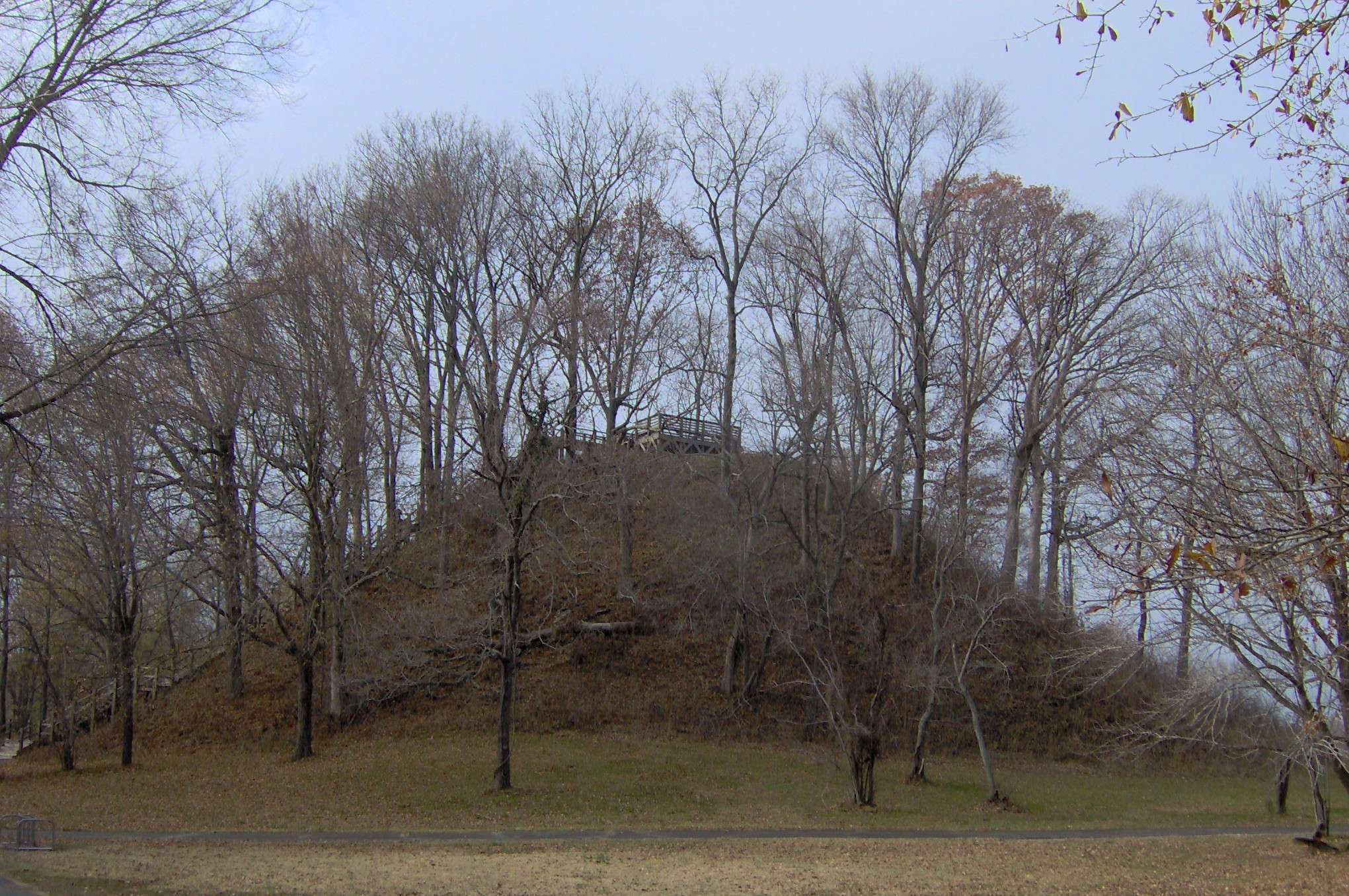
35°37′58″N 88°49′05″W / 35.632778°N 88.818056°WJackson 22 Pinson Mounds 
October 15, 1966 460 Ozier Rd.
35°30′0″N 88°41′48″W / 35.5°N 88.69667°W[6]Pinson 23 Riverside Cemetery May 9, 2003 300 Riverside Dr.
35°36′38″N 88°49′31″W / 35.610556°N 88.825278°WJackson 24 Ross-Sewell House January 27, 1983 909 Highland Ave.
35°37′42″N 88°49′08″W / 35.628333°N 88.818889°WJackson 25 St. Luke Episcopal Church May 24, 1984 309 E. Baltimore St.
35°36′49″N 88°49′01″W / 35.613611°N 88.816944°WJackson 26 Southern Engine and Boiler Works 
February 11, 1993 342 N. Royal St.
35°37′05″N 88°48′46″W / 35.618056°N 88.812778°WJackson 27 Temple B'Nai Israel July 16, 2008 401 W. Grand St. Jackson 28 William Kirby Walsh House December 10, 1993 204 E. Deaderick St.
35°37′11″N 88°48′55″W / 35.619722°N 88.815278°WJackson See also
- List of National Historic Landmarks in Tennessee
- National Register of Historic Places listings in Tennessee
References
- ^ The latitude and longitude information provided in this table was derived originally from the National Register Information System, which has been found to be fairly accurate for about 99% of listings. For about 1% of NRIS original coordinates, experience has shown that one or both coordinates are typos or otherwise extremely far off; some corrections may have been made. A more subtle problem causes many locations to be off by up to 150 yards, depending on location in the country: most NRIS coordinates were derived from tracing out latitude and longitudes off of USGS topographical quadrant maps created under the North American Datum of 1927, which differs from the current, highly accurate WGS84 GPS system used by Google maps. Chicago is about right, but NRIS longitudes in Washington are higher by about 4.5 seconds, and are lower by about 2.0 seconds in Maine. Latitudes differ by about 1.0 second in Florida. Some locations in this table may have been corrected to current GPS standards.
- ^ "National Register of Historic Places: Weekly List Actions". National Park Service, United States Department of the Interior. Retrieved on November 10, 2011.
- ^ Numbers represent an ordering by significant words. Various colorings, defined here, differentiate National Historic Landmark sites and National Register of Historic Places Districts from other NRHP buildings, structures, sites or objects.
- ^ "National Register Information System". National Register of Historic Places. National Park Service. . http://nrhp.focus.nps.gov/natreg/docs/All_Data.html.
- ^ Tennessee Historical Commission, The Courier, Vol . XLIX, No. 2, June 2011, page 15
- ^ Location derived from this Tennessee Department of Environment and Conservation website; the NRIS lists the site as "Address Restricted"
U.S. National Register of Historic Places Topics Lists by states Alabama • Alaska • Arizona • Arkansas • California • Colorado • Connecticut • Delaware • Florida • Georgia • Hawaii • Idaho • Illinois • Indiana • Iowa • Kansas • Kentucky • Louisiana • Maine • Maryland • Massachusetts • Michigan • Minnesota • Mississippi • Missouri • Montana • Nebraska • Nevada • New Hampshire • New Jersey • New Mexico • New York • North Carolina • North Dakota • Ohio • Oklahoma • Oregon • Pennsylvania • Rhode Island • South Carolina • South Dakota • Tennessee • Texas • Utah • Vermont • Virginia • Washington • West Virginia • Wisconsin • WyomingLists by territories Lists by associated states Other Municipalities and communities of Madison County, Tennessee Cities 
Unincorporated
communitiesFootnotes ‡This populated place also has portions in an adjacent county or counties
Categories:- National Register of Historic Places in Tennessee by county
- Madison County, Tennessee
- Buildings and structures in Madison County, Tennessee
-
Wikimedia Foundation. 2010.