- City of South Perth
-
This article is about a local government authority. For the suburb, see South Perth, Western Australia.
City of South Perth
Western Australia
Population: 43,908(2010)[1] Established: 1892 Area: 19.8 km² (7.6 sq mi) Mayor: James Best Council Seat: South Perth Region: South Metropolitan Perth State District: South Perth Federal Division: Swan 
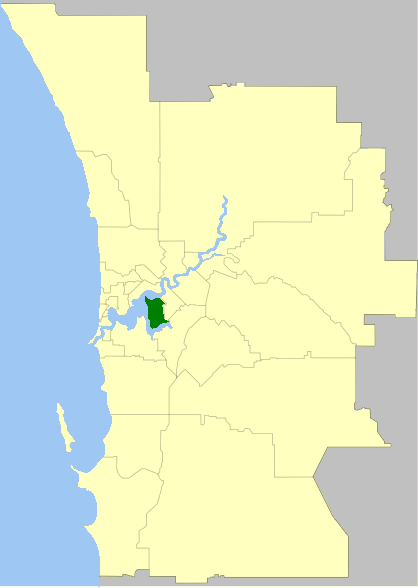
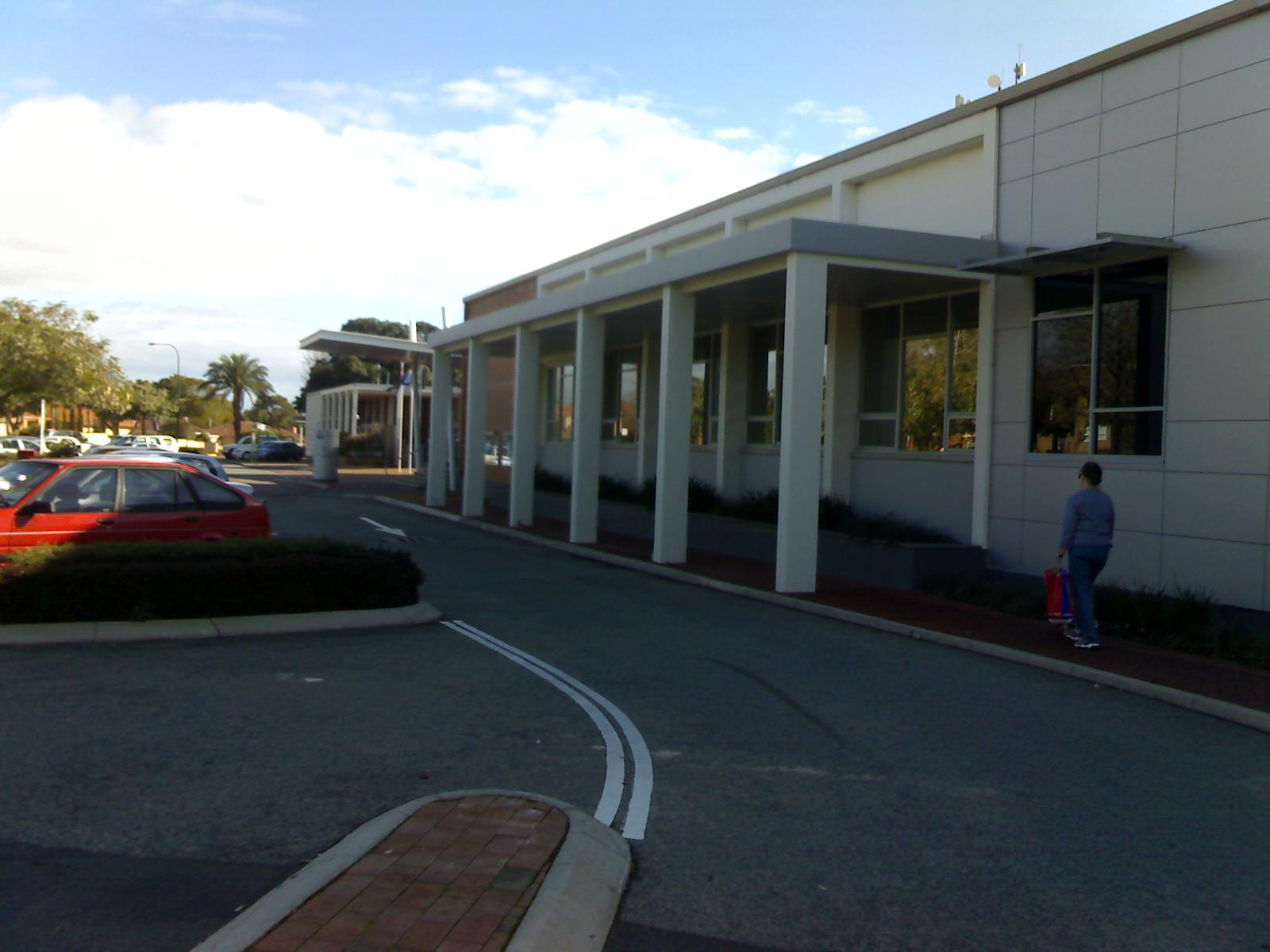
LGAs around City of South Perth: Swan River Perth Victoria Park Swan River City of South Perth Canning Melville Melville Canning 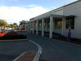 Council Chamber Buildings
The City of South Perth is a Local Government Area in the inner southern suburbs of the Western Australian capital city of Perth, located about 4 kilometres (2.5 mi) south of Perth's central business district. The City covers an area of 19.9 square kilometres (7.7 sq mi), maintains 203 kilometres (126 mi) of roads and a little over 4.3 km² of parks and gardens, and has a population of about 38,500 (2006).
The area broadly forms a peninsula, being bounded on three sides by the waters of the Swan and Canning rivers.
Contents
History
The South Perth Road District was formed on 9 June 1892 and the district became a municipality on 21 February 1902. It then reverted to a road district on 1 March 1922,[2][3] but regained municipality status on 1 March 1956.[4] It was granted City status on 1 July 1959.
Wards
The City of South Perth is divided into six wards, each of whom elect two councillors. The mayor is directly elected.
- Civic Ward
- Como Beach Ward
- Manning Ward
- McDougall Ward
- Mill Point Ward
- Moresby Ward
Suburbs
Education
The City of South Perth is home to numerous primary schools, and five major secondary schools.
Secondary
Primary
- Collier Primary School
- Como Primary School
- Kensington Primary School
- Manning Primary School
- Saint Columba's College
- Saint Pius X Primary School
- South Kensington Primary School
- South Perth Primary School
Library
The City of South Perth has two libraries with branches in Manning and South Perth. The two libraries have in excess of 60,000 items including; books, magazines, music CD’s and DVD’s. [1] Website
Population
Year Population 1903 947 1911 1,197 1921 2,960 1933 8,731 1947 15,266 1954 21,214 1961 29,941 1966 32,042 1971 31,702 1976 30,388 1981 31,524 1986 32,626 1991 34,007 1996 34,819 2001 35,228 2006 38,361 Notes
- ^ Australian Bureau of Statistics (31 March 2011). "Regional Population Growth, Australia, 2009–10 - Western Australia". http://www.abs.gov.au/ausstats/abs@.nsf/Products/3218.0~2009-10~Main+Features~Western+Australia?OpenDocument. Retrieved 10 May 2010.
- ^ "Road Districts Act 1919. South Perth Municipality. Proposed conversion into a road district. Notice of intention (per PW 1268/21)". Western Australia Government Gazette: p. 1922:22. 5 January 1922.
- ^ "Road Districts Act 1919. Order in Council (per PW 1268/21)". Western Australia Government Gazette: p. 1922:421. 15 February 1922.
- ^ "Road Districts Act 1919. South Perth Road District. Constitution as Municipality of South Perth. Order in Council (per LG 524/55)". Western Australia Government Gazette: p. 1956:567. 9 February 1956.
References
- The History of South Perth, by F K Crowley. Rigby Limited 1962
- Peninsula City, by Cecil Florey. City of South Perth 1995
External links
Suburbs of the City of South Perth | Perth | Western Australia Como · Karawara · Kensington · Manning · Salter Point · South Perth · Waterford
Cities of Western Australia Capital city Metropolitan cities Regional cities Large towns Categories:- Populated places established in 1892
- 1892 establishments in Australia
- Local Government Areas of Western Australia

Wikimedia Foundation. 2010.