- Shire of Lake Grace
Infobox Australian Place | type = lga
name =Shire of Lake Grace
state =wa
region =Wheatbelt
area =10379.2
est =1922
seat =Lake Grace
pop =1,456 (2006 census)
imagesize= 180
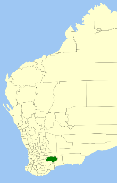
caption = Location inWestern Australia
logo =Lake grace logo.gif
logosize =100
url =http://www.lakegrace.wa.gov.au
mayor =Andrew Walker
fedgov =O'Connor
stategov =Roe
near-nw = Wickepin
near-n = Kulin
near-ne = Dundas
near-w = Dumbleyung
near-e = Ravensthorpe
near-sw = Kent
near-s = Jerramungup
near-se = RavensthorpeThe Shire of Lake Grace is a Local Government Area in the Eastern Wheatbelt region of
Western Australia , about convert|350|km|mi|0 of the state capital, Perth. The Shire has a land area of convert|10379|km2|sqmi|0 and its seat of government is the town of Lake Grace.History
In 1922, the Lake Grace Road Board was gazetted. On 1 July 1961, it became the Shire Council following changes to the Local Government Act. [WA Electoral Commission, "Municipality Boundary Amendments Register" (release 2.0), 31 May 2003.]
Wards
The shire has been divided into 3 wards.
* Lake Grace Ward (4 councillors)
* Newdegate Ward (3 councillors)
* Lake King/Varley Ward (2 councillors)Towns/Localities
* Lake Grace
* Lake King
* Newdegate
* VarleyReferences
External links
* [http://www.lakegrace.wa.gov.au/ Shire of Lake Grace]
Wikimedia Foundation. 2010.