- Shire of Dundas
Infobox Australian Place | type = lga
name = Shire of Dundas
state = wa
imagesize= 180
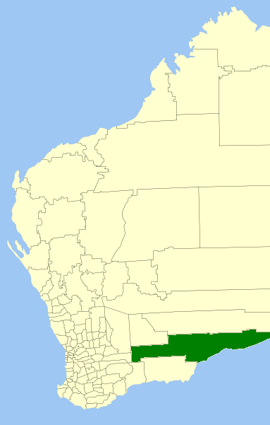
caption = Location inWestern Australia
pop = 1,068 (2006 census)
area = 93179
est = 1895
seat = Norseman
mayor = Pat Hogan
region = Goldfields-Esperance
url = http://www.dundas.wa.gov.au
stategov = Eyre
fedgov = Kalgoorlie
near-nw = Coolgardie
near-n = Kalgoorlie-Boulder
near-ne = Maralinga (SA)
near-e = Outback Areas (SA)
near-w = Kondinin
near-sw = Ravensthorpe
near-s = Esperance
near-se = "Great Australian Bight "The Shire of Dundas is a Local Government Area in the
Goldfields-Esperance region ofWestern Australia , between Norseman and theSouth Australia n border generally along theEyre Highway , between 700 and 1,500 kilometres (430-930 mi) east of the state capital, Perth. The Shire covers an area of convert|93179|km2|sqmi|0 and its seat of government is the town of Norseman.History
In 1895, the Dundas Road Board was gazetted. It merged with part of Esperance to become the Norseman Road Board in 1918, but reestablished as Dundas in 1929. On 1 July 1961, it became the Shire Council following changes to the Local Government Act. [WA Electoral Commission, "Municipality Boundary Amendments Register" (release 2.0), 31 May 2003.]
Wards
The town has 8 councillors and 4 wards:
* Kambalda West (3 councillors)
* Kambalda (2 councillors)
* Coolgardie (2 councillors)
* Country (1 councillor)Towns
* Norseman
* Balladonia
* Caiguna
* Cocklebiddy
* Madura
* Mundrabilla
* EuclaReferences
External links
* [http://www.dundas.wa.gov.au Shire of Dundas]
Wikimedia Foundation. 2010.