- Shire of Ravensthorpe
Infobox Australian Place | type = lga
name =Shire of Ravensthorpe
state = wa
region = Goldfields-Esperance
area = 13551.1
seat = Ravensthorpe
pop = 1,950 (2006 census)
density =
imagesize = 180
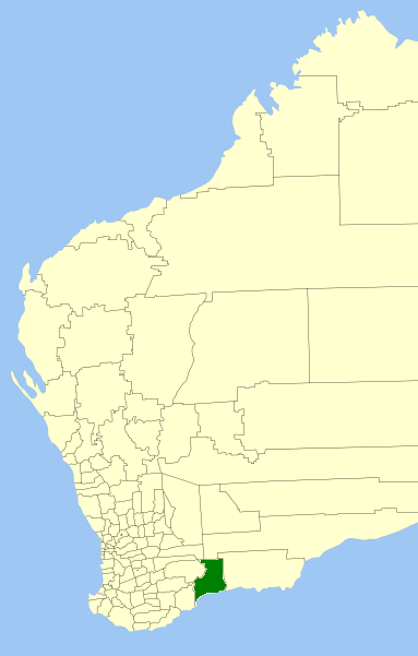
caption = Location inWestern Australia
logo =
logosize =
url = http://www.ravensthorpe.wa.gov.au
mayor = Brenda Tilbrook
fedgov = O'Connor
stategov = Eyre
near-nw = Lake Grace
near-n = Dundas
near-ne = Esperance
near-e = Esperance
near-se = "Southern Ocean "
near-s = "Southern Ocean "
near-sw = Jerramungup
near-w = KentThe Shire of Ravensthorpe is a Local Government Area in the southern
Goldfields-Esperance region ofWestern Australia , about halfway between the city of Albany and the town of Esperance and about convert|530|km|mi|0 southeast of the state capital, Perth. The Shire covers an area of convert|13551|km2|sqmi|0, and its seat of government is the town of Ravensthorpe.History
The Phillips River Road Board was gazetted in 1900. On 1 July 1961, it changed name to Ravensthorpe and became a Shire Council following changes to the Local Government Act. [WA Electoral Commission, "Municipality Boundary Amendments Register" (release 2.0), 31 May 2003.]
Wards
As of the 2003 election, the shire is divided into 3 wards:
* Ravensthorpe Ward (2 councillors)
* Hopetoun Ward (2 councillors)
* Rural Ward (3 councillors)Towns/Localities
* Ravensthorpe
* Fitzgerald River
* Hopetoun
* Jerdacuttup
* MunglinupReferences
External links
* [http://www.ravensthorpe.wa.gov.au/ Shire of Ravensthorpe]
Wikimedia Foundation. 2010.