- Shire of Chittering
Infobox Australian Place | type = lga
name =Shire of Chittering
state =wa
region =Wheatbelt
area =1221.8
est =
seat =Bindoon
pop =3,520 (2006 census)
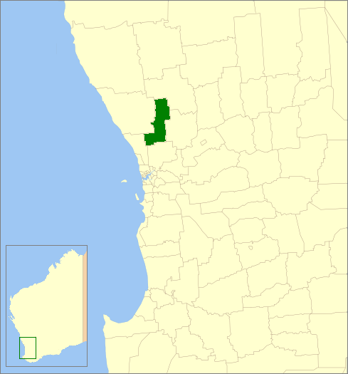
imagesize= 180
caption = Location inWestern Australia
logo =
url =http://www.chittering.wa.gov.au
mayor =Don Gibson
fedgov =Pearce
stategov =Moore
near-nw = Gingin
near-n = Victoria Plains
near-ne = Victoria Plains
near-w = Gingin
near-e = Toodyay
near-sw = Swan
near-s = Swan
near-se = ToodyayThe Shire of Chittering is a Local Government Area in the Wheatbelt region of
Western Australia , covering an area of about convert|2750|km2|sqmi|-1 just beyond the northeastern fringe of the Perth metropolitan area, generally along and east of theGreat Northern Highway . Its seat of government is the town of Bindoon.History
In 1896, the Chittering Road Board was gazetted. On 1 July 1961, it became the Shire Council following changes to the Local Government Act. [WA Electoral Commission, "Municipality Boundary Amendments Register" (release 2.0), 31 May 2003.]
Wards
In 2003, wards were abolished throughout the shire, and the six councillors and mayor sit at large.
uburbs and towns
* Bindoon
* Chittering
* Lower Chittering
* Mooliabeenee
* Muchea
* WannamalReferences
External links
* [http://www.chittering.wa.gov.au/ Shire of Chittering]
Wikimedia Foundation. 2010.