- Shire of Pingelly
Infobox Australian Place | type = lga
name =Shire of Pingelly
state =wa
region =Wheatbelt
imagesize= 180
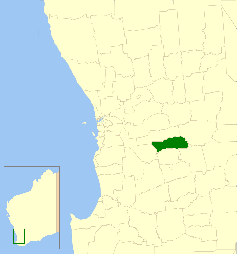
caption = Location inWestern Australia
area =1294.6
est =1891
seat =Pingelly
pop =1,168 (2006 census)
logo =
url =http://www.pingelly.wa.gov.au
mayor =David Freebairn
fedgov =Pearce
stategov =Wagin
near-nw =
near-n = Brookton
near-ne = Corrigin
near-w = Wandering
near-e = Corrigin
near-sw =
near-s = Cuballing
near-se = WickepinThe Shire of Pingelly is a Local Government Area in the Wheatbelt region of
Western Australia , about convert|160|km|mi|0 southeast of the state capital, Perth, between the Shires of Brookton and Cuballing along theGreat Southern Highway . The Shire covers an area of convert|1295|km2|sqmi|0, and its seat of government is the town of Pingelly.History
In 1891, the Moorambine Road Board was gazetted. In 1913, it was renamed to the Pingelly Road District. On 1 July 1961, it became the Shire Council following changes to the Local Government Act. The current wards were established in 2003. [WA Electoral Commission, "Municipality Boundary Amendments Register" (release 2.0), 31 May 2003.]
Wards
The shire has been divided into 4 wards, each with 2 councillors.
* Hotham Ward
* Jingaring Ward
* Kulyaling Ward
* Tutanning WardTowns/Localities
* Boyagin
* Dattening
* Kulyaling
* Moorumbine
* PingellyReferences
External links
* [http://www.pingelly.wa.gov.au/ Shire of Pingelly]
Wikimedia Foundation. 2010.