- Shire of Wandering
Infobox Australian Place | type = lga
name =Shire of Wandering
state =wa
region =Wheatbelt
area =1900.8
seat =Wandering
pop =355 (2006 census)
imagesize= 180
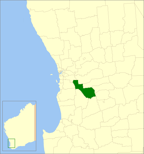
caption = Location inWestern Australia
logo =Wandering logo.gif
logosize =200
url =http://www.wandering.wa.gov.au
mayor =Bruce Dowsett
fedgov =Pearce
stategov =Wagin
near-nw = Serpentine- Jarrahdale
near-n = Beverley
near-ne = Brookton
near-w = Boddington
near-e = Pingelly
near-sw = Boddington
near-s = Williams
near-se = CuballingThe Shire of Wandering is a Local Government Area in the Wheatbelt region of
Western Australia , and, with a population of 318 as at the 2001 census, is one of the nation's smallest. It covers an area of convert|1901|km2|sqmi|0 generally to the east ofAlbany Highway about convert|120|km|mi|0 south-east of Perth, the state capital. The Shire's seat of government is the town of Wandering.History
The Wandering Road Board was gazetted on 6 October 1874 out of land previously managed by the Williams Road Board. ["Western Australian Government Gazette", 6 October 1874, p.174. Accessed on microfilm at Battye Library, Perth.] On 1 July 1961, it became the Shire Council following changes to the Local Government Act. [WA Electoral Commission, "Municipality Boundary Amendments Register" (release 2.0), 31 May 2003.]
Wards
The shire has been divided into 4 wards.
* North Ward (2 councillors)
* North East Ward (2 councillors)
* South Ward (2 councillors)
* Town Ward (1 councillor)Towns/Localities
* Wandering
* Bannister
* Codjatotine
* Dwarda
* North Bannister
* Pumphreys BridgeReferences
External links
* [http://www.wandering.wa.gov.au/ Shire of Wandering]
Wikimedia Foundation. 2010.