- Shire of Brookton
Infobox Australian Place | type = lga
name =Shire of Brookton
state =wa
region =Wheatbelt
area =1601.6
est =1906
seat =Brookton
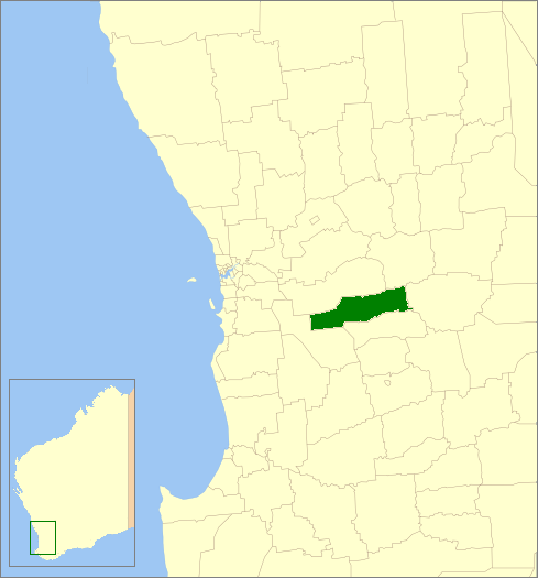
imagesize= 180
caption = Location inWestern Australia
pop =978 (2006 census)
logo =Brookton logo.png
url =http://www.brookton.wa.gov.au
mayor =Barry Coote
fedgov =Pearce
stategov =Wagin
near-nw =Beverley
near-n =Beverley
near-ne =Quairading
near-w =Wandering
near-e =Corrigin
near-sw =Wandering
near-s =Pingelly
near-se =PingellyThe Shire of Brookton is a Local Government Area located in the Wheatbelt region of
Western Australia , about convert|140|km|mi|0 southeast of Perth, the state capital. The Shire covers an area of convert|1602|km2|sqmi|0 and its seat of government is the town of Brookton.The local economy, worth approximately $25 million per year to the state economy, is based on agriculture - predominantly cereal grains and sheep. [cite web|url=http://agspsrv34.agric.wa.gov.au/programs/srd/agplan/regionstats/Brookton.pdf|title=Agriculture Statistical Overview 96/97 - Shire of Brookton|author=Agriculture WA|date=July 2000|accessdate=2006-11-15]
History
On 10 September 1906, the Brookton Road Board met for the first time after Mr Samuel Williams broke away from the Beverley Road Board. On 1 July 1961, it became the Shire Council following changes to the Local Government Act. [WA Electoral Commission, "Municipality Boundary Amendments Register" (release 2.0), 31 May 2003.]
Wards
The shire has been divided into 4 wards.
* Central Ward (5 councillors)
* West Ward (2 councillors)
* East Ward (2 councillors)Towns
* Aldersyde
* Brookton
* Jelcobine
* Kweda
* NalyaReferences
External links
* [http://www.brookton.wa.gov.au/ Shire of Brookton]
Wikimedia Foundation. 2010.