- Beverley, Western Australia
Infobox Australian Place | type = town
name = Beverley
state = wa
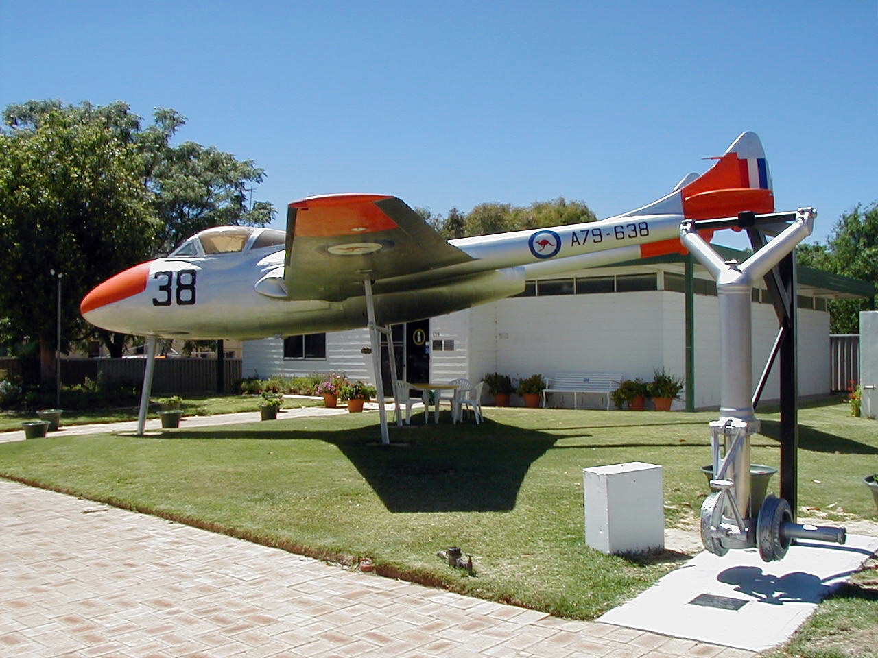
caption =RAAF De Havilland Vampire at Beverley museum.
lga = Shire of Beverley
est = 1868
postcode = 6304
pop = 848
dist1 = 133 | dir1 = SE | location1 = Perth
maxtemp = 25.2
mintemp = 10.2
rainfall = 420.4
elevation= 232
fedgov = Pearce
stategov = Central Wheatbeltcoord|-32.109|116.926|type:city(848)_region:AU-WA_scale:50000|format=dms|display=titleBeverley is a town located in the Wheatbelt region of
Western Australia , convert|133|km|mi|0 south-east of the state capital, Perth, between York and Brookton on theGreat Southern Highway . The town is also located on the Great Southern railway line.History
The town is believed to be named after
Beverley inYorkshire , from where some of the earliest explorers of the Avon valley originated, including Colonial Surgeon Charles Simmons, an early landowner in the district. Land at Beverley was set aside for a townsite in 1831, just two years after theSwan River Colony 's foundation, [LandInfo WA|c|B|2007-03-25] after a glowing report to Governor James Stirling by Ensign (later Lieutenant)Robert Dale , who made three trips to the York-Beverley area. The district was surveyed in 1843.While settlers arrived from the 1860s onwards, and a town was established in 1868, it wasn't until the arrival of the Great Southern Railway in 1886 that the town started to grow, and with the completion of the railway in 1889 to Albany, Beverley became an important centre. In 1908, the
Goldfields Water Supply Scheme was extended to supply the town with water, and byWorld War I , the town had four hotels, four banks, two bakeries, two tailors, three tearooms, a jeweller and two hairdressers, amongst other businesses, and in 1938, a new town hall opened.However, since the 1950s, with improved transport, communications and farming methods, the population of the Shire of Beverley fell from 1,968 in 1954 to 1,433 in 1991, [Australian Bureau of Statistics census data, 30 June 1954 and 30 June 1991. Progressive figures in cite book|author=Commonwealth Bureau of Census and Statistics|title=Western Australia : population and occupied dwellings : censuses, 1911-1966 : statistical divisions and local government areas.|year=1968] and several banks and other town services closed. The population has started to grow again due to the popularity of rural residential estates and the town's proximity to Perth. [cite web|url=http://www.beverley.wa.gov.au/our_shire/shirehistory.html|title=Whence Did Beverley Come?|author=Shire of Beverley|accessdate=2006-10-16]
Present day
Beverley is located on
Great Southern Highway , convert|133|km|mi|0 southeast of Perth, and provides commercial and industrial support to the surrounding agricultural area. Each year in August the town hosts an agricultural show. A museum, formerly the Settlers Arms Hotel, offers local history exhibits. In addition, a town hall, district high school, bank, shopping facilities, accommodation (hotel, Beverley B&B, caravan park), council offices, district hospital and medical centre, atelecentre (withTAFE affiliation) and various sporting facilities are located within the town. A wide range of building styles exist.Located convert|10|km|mi|0 to the northwest of the town is the
Avondale Agricultural Research Station . Avondale gets its name from the Avon and Dale rivers which join near the farm. For over 80 years, Avondale has been a major centre for agricultural research, and since 1979 has been home to an extensive collection of historical farm machinery. The station hosts a number of events during the year, including the Ploughing Days in June.
Wikimedia Foundation. 2010.