- Narrogin, Western Australia
-
Narrogin
Western Australia
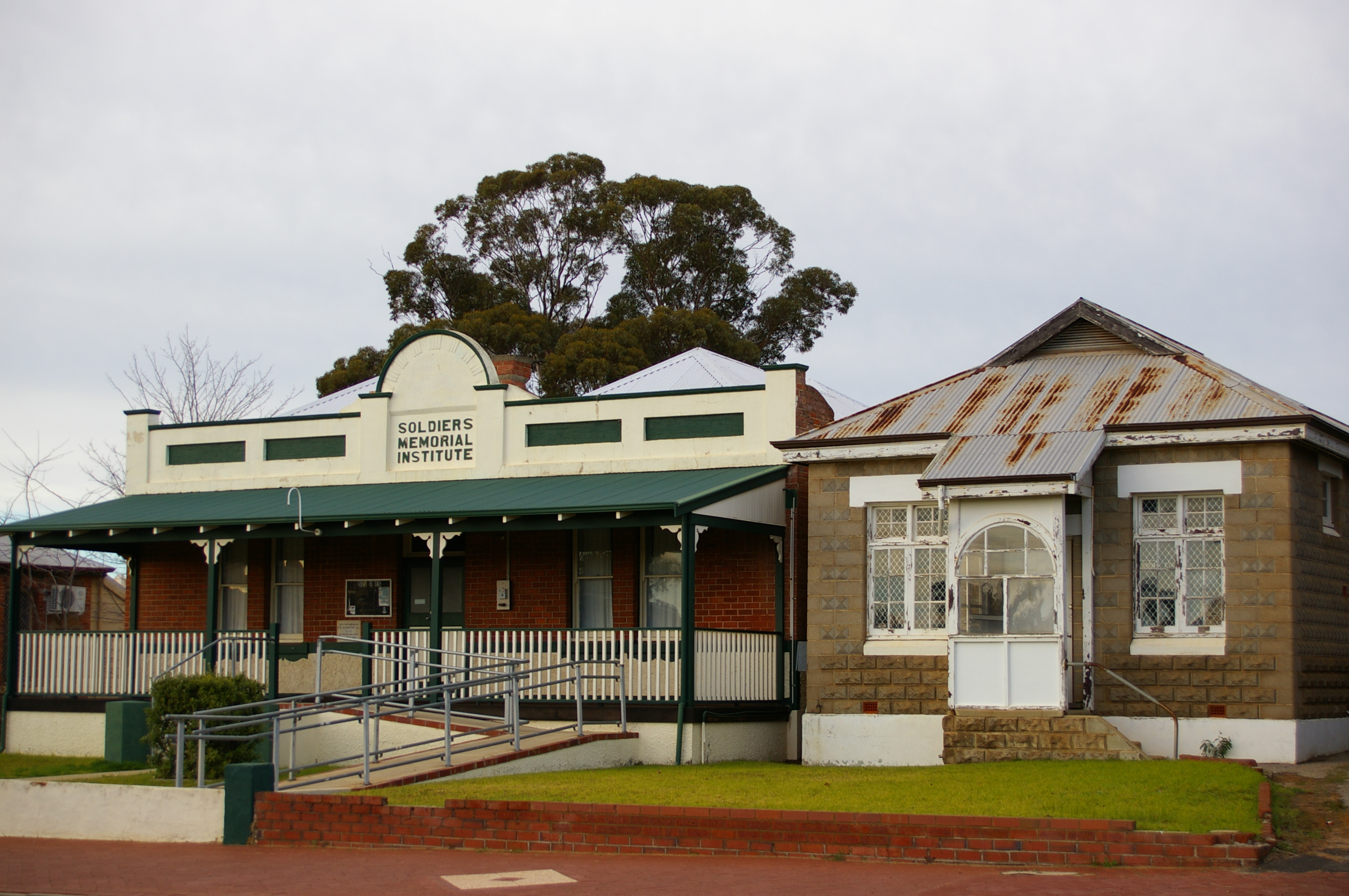
Soldier memorial institute
 Narrogin
Population: 4,238 [1] Established: 1890s Postcode: 6312 Elevation: 192 m (630 ft) Location: LGA: Town of Narrogin State District: Wagin Federal Division: O'Connor Mean max temp Mean min temp Annual rainfall 22.4 °C
72 °F9.8 °C
50 °F499.6 mm
19.7 inCoordinates: 32°56′10″S 117°10′41″E / 32.936°S 117.178°E
Narrogin is a large town in the Wheatbelt region of Western Australia, 192 kilometres (119 mi) southeast of Perth on the Great Southern Highway between Pingelly and Wagin. In the age of steam engines, Narrogin was one of the largest railway operation hubs in the southern part of Western Australia.
Contents
History
Narrogin is an Aboriginal name, having been first recorded as "Narroging" for a pool in this area in 1869. The meaning of the name is uncertain, various sources recording it as "bat camp", "plenty of everything" or derived from "gnargagin" which means "place of water".[2]
The first Europeans into the Narrogin area were Alfred Hillman and his party who surveyed the track between Perth and Albany in 1835. They passed only 10 km west of the present site of Narrogin. In time they were followed by the occasional shepherd who drove his sheep into the area seeking good pastures.
The area was first settled in the 1860s and 1870s when pastoralists moved and settled in isolated outposts. The population was so scattered that there was no incentive to establish a town.
The arrival of the Great Southern Railway in July 1889 initiated the first hint of a town. The railway company was in search of good reliable watering points along the route from Perth to Albany. The company which had won the railway contract, the WA Land Company, duly purchased Narrogin pool and it was around this pool that the town developed.
Narrogin was officially declared a town in June 1897 and it was gazetted as a municipality on 13 April 1906. The early years of settlement were hard with farmers relying on sandalwood cutting and the bark from mallet trees (it was used as a tanning agent) to compensate for poor returns from wheat and sheep.
Narrogin remained a major rail centre until the late 1970s when competition from road transport saw a reduction in the railways workforce. By 1987, Narrogin as a rail centre was very much in decline, largely as the result of altered working of engines through from Avon Yard. The station ceased to see passenger trains from 1978.[3] The number of employees had dropped from some 280 people to fewer than a dozen in 1995.
Narrogin Today
Narrogin's previous role as a major railway junction has acted as an attractor for agricultural service industries as well as government departments and agencies. The town has accumulated significant public infrastructure - mainly in the health and education areas. This infrastructure serves as the base for the modern regional centre that Narrogin has become today. Unlike many other rural regional centres throughout Australia, Narrogin is enjoying a strong and constant growth of approximately 2% per year, though at the expense of surrounding areas.[4]
The Old Court House Museum is a major attraction for tourists. The building was designed by the architect George Temple-Poole and constructed in 1894. Since its inauguration until 1905 the building served as a Government school, when it became the local courthouse. A local branch of the Agricultural Bank worked in the building between 1924 and 1945, but in 1970 it was converted again into the local courthouse. Since 1976 the building is used as a museum, which exhibits displays of regional memorabilia.[5]
Sport
In 1951 the Australian Grand Prix was held on a large seven kilometre circuit laid out the town's streets. The event attracted a crowd estimated at 35,000 and was won by Warwick Pratley driving an Australian developed car.
The town also acts as a hub for sporting competitions in the surrounding regions. Facilities were improved in recent years with the development of the Narrogin Leisure Complex, which houses a 50m outdoor pool, 25m indoor heated pool with leisure pool, gymnasium, café, squash courts, basketball stadiums as well as a world class wet synthetic hockey turf.[6]
Notable residents
Barry Cable, the star Perth and North Melbourne Australian Rules Football player came from Narrogin.
It is also the birthplace of field hockey player Bevan George, who won the gold medal with the Australian Men's Team at the 2004 Summer Olympics in Athens. Also born in Narrogin is Brian Glencross, a retired Australian field hockey player and coach of the Australian Women's Team, Australian cricketers Brad Hogg and Shaun Marsh, and Australian Foreign Minister, Stephen Smith.
Albert Facey, author of A Fortunate Life, lived a period of his life in Narrogin.
See also
References
- ^ Australian Bureau of Statistics (25 October 2007). "Narrogin (Urban Centre/Locality)". 2006 Census QuickStats. http://www.censusdata.abs.gov.au/ABSNavigation/prenav/LocationSearch?collection=Census&period=2006&areacode=UCL520600&producttype=QuickStats&breadcrumb=PL&action=401. Retrieved 2008-08-29.
- ^ Western Australian Land Information Authority. "History of country town names". http://www.landgate.wa.gov.au/corporate.nsf/web/History+of+country+town+names. Retrieved 2007-01-17.
- ^ "Narrogin as a Rail Centre", Milne, Rod Australian Railway Historical Society Bulletin, January 1994, pp 3-13
- ^ Narrogin Shire Council
- ^ The Sydney Morning Herald
- ^ http://www.narrogin.wa.gov.au/Narrogin%20Leisure%20Docs/NLCNewFrontpage.htm
External links
Pages associated with Narrogin, Western Australia - Narrogin, Western Australia - a town in Western Australia
- Town of Narrogin - a local government area covering Narrogin
- Shire of Narrogin - a local government area surrounding Narrogin
Categories:- Towns in Western Australia
- Australian Aboriginal placenames

Wikimedia Foundation. 2010.