- York, Western Australia
Infobox Australian Place
type = town
name = York
state = wa
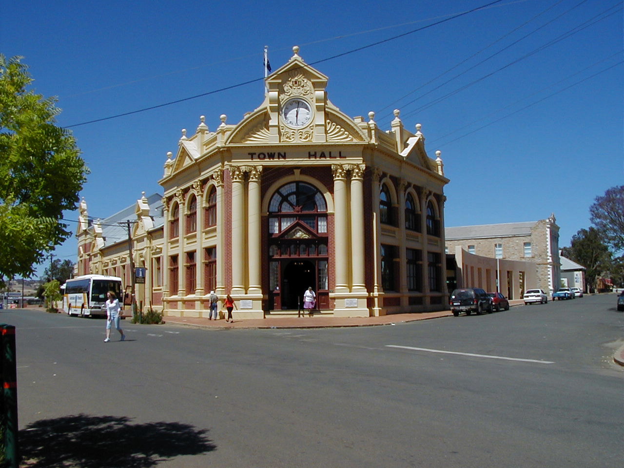
caption = York Town Hall
lga =Shire of York
mayor =
est = 1831
postcode = 6302
pop = 3,289
dist1 = 96 | location1 = Perth
maxtemp = 24.75
mintemp = 10.5
rainfall = 450
elevation= 179
fedgov = Pearce
stategov = Central Wheatbeltcoord|-31.879|116.766|type:city(3289)_region:AU-WA_scale:50000|format=dms|display=title:"For other places named York, see
York (disambiguation) ."York is the oldest inland town in
Western Australia , situated 97 km east of Perth in the Avon Valley near Northam, and is the seat of theShire of York . Home to an estimated 3,289 people in 2005, it was settled in 1831, only two years after Perth was settled in 1829.History
With the increasing population of the then Swan River Settlement in 1829, it became evident that suitable land would have to be discovered for the growing of cereal crops needed to provide necessary food.
Robert Dale , 21 year old Officer of the 63rd Regiment, was assigned the honour of making the first exploratory journey over the Darling Range during the winter months of 1830 into what was later to become known as the Avon Valley.As a result of these explorations, Governor Stirling decided that the new district would be thrown open for selection and this was done by Government Notice on 11 November 1830.
Named after the city of
York inEngland , the first settlers in the district reached the valley on 15 September 1831, and immediately set about the construction of huts, the preparation required for their stock and the cultivation of new land.The first decade of settlement in the Avon Valley showed steady progress and a clear indication that the whole district should develop into a rich and prosperous farming area.
A township did not begin to appear until 1836 when an army barracks and store were built. It then began to take shape and great improvements were noted as private and Government buildings were erected. [http://www.york.wa.gov.au]
By the late 1880s the town was teeming with miners and fossickers, all alighting from the train and preparing to make the long journey across the plains to the goldfields. It was during the period 1886 to 1900 that most of the town's impressive buildings were constructed.
Facilities and Attractions
Rural decline of WA's Wheatbelt region in recent years has been a major problem for York. However some alternative crops and products have shown some promise, such as plantations of
olive s. The town has adapted by changing from a traditionalsheep andwheat agricultural community into a tourist town. This features music festivals, a motor museum, recreational facilities including skydiving and paragliding, many bed and breakfast services and the picturesque Avon River.York is well serviced with all essential facilities, including York District High School for students from kindergarten to Year 10. The York
Telecentre (TAFE / Westlink) enables access to tertiary education. There is a 24/7 medical service, the York District Hospital, library, and swimming pool.External links
* [http://www.york.wa.gov.au Shire of York]
Wikimedia Foundation. 2010.