- Shire of Westonia
Infobox Australian Place | type = lga
name = Shire of Westonia
state = wa
imagesize= 180
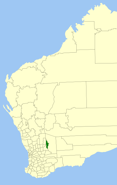
caption = Location inWestern Australia
pop = 213 (2006 census)
density = 0.08
area = 3304.4
est =
seat = Westonia
mayor = Louis Geyer
region = Wheatbelt
url = http://www.westonia.wa.gov.au
stategov = Central Wheatbelt
fedgov = Kalgoorlie
near-nw = Mt Marshall
near-n =
near-ne =
near-w = Mukinbudin
near-e = Yilgarn
near-sw = Merredin
near-s =
near-se =The Shire of Westonia is a Local Government Area in the Eastern Wheatbelt region of
Western Australia , about convert|310|km|mi|0 east of Perth, the state capital. Its seat of government is the small town of Westonia.Although the Shire of Westonia is located in the Wheatbelt region, it is at the eastern limit of land suitable for
wheat growing. The most important industries of Westonia today are wheat andsheep , but historically it is agold mining area.History
In 1916, the Westonia Road Board was gazetted from land previously within Merredin Road District. On 1 July 1961, it became the Shire Council following changes to the Local Government Act. [WA Electoral Commission, "Municipality Boundary Amendments Register" (release 2.0), 31 May 2003.]
Wards
The shire has been divided into 4 wards.
* Town Ward (2 councillors)
* North Ward (2 councillors)
* Central Ward (3 councillors)
* South Ward (2 councillors)Towns
* Westonia
* Boodarockin
* Carrabin
* Walgoolan
* WarralakinReferences
External links
* [http://www.westonia.wa.gov.au/ Shire of Westonia]
Wikimedia Foundation. 2010.