- Shire of Mukinbudin
Infobox Australian Place | type = lga
name =Shire of Mukinbudin
state =wa
postcode =6479
imagesize =180
region =Wheatbelt
area =3437.1
seat =Mukinbudin
pop =575 (2006 census)
density =0.17
logo =Mukinbudin logo.png
url =http://www.mukinbudin.wa.gov.au
mayor =Gary Shadbolt
fedgov =O'Connor
stategov =Central Wheatbelt
near-nw = Mount Marshall
near-n = Mount Marshall
near-ne = Yilgarn
near-w = Mount Marshall
near-e = Westonia
near-sw = Trayning
near-s = Nungarin
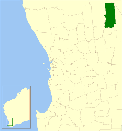
near-se = MerredinThe Shire of Mukinbudin is a Local Government Area in the Wheatbelt region of
Western Australia , about convert|80|km|mi|0 north of Merredin and about convert|300|km|mi|0 east of the state capital, Perth. The Shire covers an area of convert|3437|km2|sqmi|0, and its seat of government is the town of Mukinbudin.History
Initially, Mukinbudin was governed by the Merredin Road Board. In 1921, the Nungarin Road Board was gazetted, and in 1933 Mukinbudin, which had grown considerably in the intervening years, was gazetted separately. On 1 July 1961, it became a Shire Council following changes to the Local Government Act. [WA Electoral Commission, "Municipality Boundary Amendments Register" (release 2.0), 31 May 2003.]
Wards
The shire has been divided into 4 wards.
* Town Ward (5 councillors)
* Bonnie Rock Ward (2 councillors)
* Wilgoyne Ward (1 councillor)
* Wattoning Ward (1 councillor)Towns/Localities
* Mukinbudin
* Bonnie Rock
* Lake Brown
* Wattoning
* WilgoyneReferences
External links
* [http://www.mukinbudin.wa.gov.au/ Shire of Mukinbudin]
Wikimedia Foundation. 2010.