- Shire of Waroona
Infobox Australian Place | type = lga
name = Shire of Waroona
state = wa
imagesize= 180
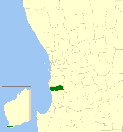
caption = Location inWestern Australia
pop = 3,451 (2006 census)
density = 4
area = 832.2
est =
seat = Waroona
mayor = Noel Dew
region = Peel

logosize = 180
url = http://www.waroona.wa.gov.au
stategov = Murray-Wellington
fedgov = Canning
near-nw =
near-n = Murray
near-ne =
near-e = Boddington
near-w =
near-sw =
near-s = Harvey
near-se =The Shire of Waroona is a Local Government Area in the Peel region of
Western Australia between Mandurah and Harvey and about 110kilometre s (68 mi) south of Perth, the state capital. The Shire covers an area of about 835 km² (322 mi²) and its seat of government is the town of Waroona (coord|32|51|S|115|55|E|region:AU-WA).History
The district was originally controlled by the Murray Road Board (from 1887). In 1898, the Drakesbrook Road Board was gazetted. Years after the renaming of the town, on 19 May 1961, the Drakesbrook Road Board was abolished. It was to become the Waroona Road Board, but due to changes in the Local Government Act approved earlier in the year, it became the Waroona Shire Council on 1 July 1961 in line with many other councils. [WA Electoral Commission, "Municipality Boundary Amendments Register" (release 2.0), 31 May 2003.]
Wards
The shire has been divided into 4 wards.
*Town Ward (4 councillors)
*East Ward (1 councillor)
*West Ward (1 councillor)
*Coastal Ward (2 councillors)Towns
The Shire of Waroona contains the following towns and localities:
*Hamel
*Lake Clifton
*Nanga Brook
*Preston Beach
*Wagerup
*WaroonaNational parks and state forests based around both the Yalgorup lakes and the Darling Scarp jarrah forests occupy approximately half the land area of the Shire.
References
External links
* [http://www.waroona.wa.gov.au/ Shire of Waroona website]
Wikimedia Foundation. 2010.