- Como, Western Australia
-
Como
Perth, Western Australia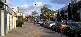

 Como
ComoPopulation: 12,423 (2006 census)[1] Established: 1905 Postcode: 6152 Area: 6.7 km² (2.6 sq mi) Location: 6 km (4 mi) from Perth LGA: City of South Perth State District: South Perth Federal Division: Swan Suburbs around Como: Swan River South Perth Kensington Swan River Como Bentley Swan River Salter Point Manning Coordinates: 32°00′11″S 115°51′29″E / 32.003°S 115.858°E
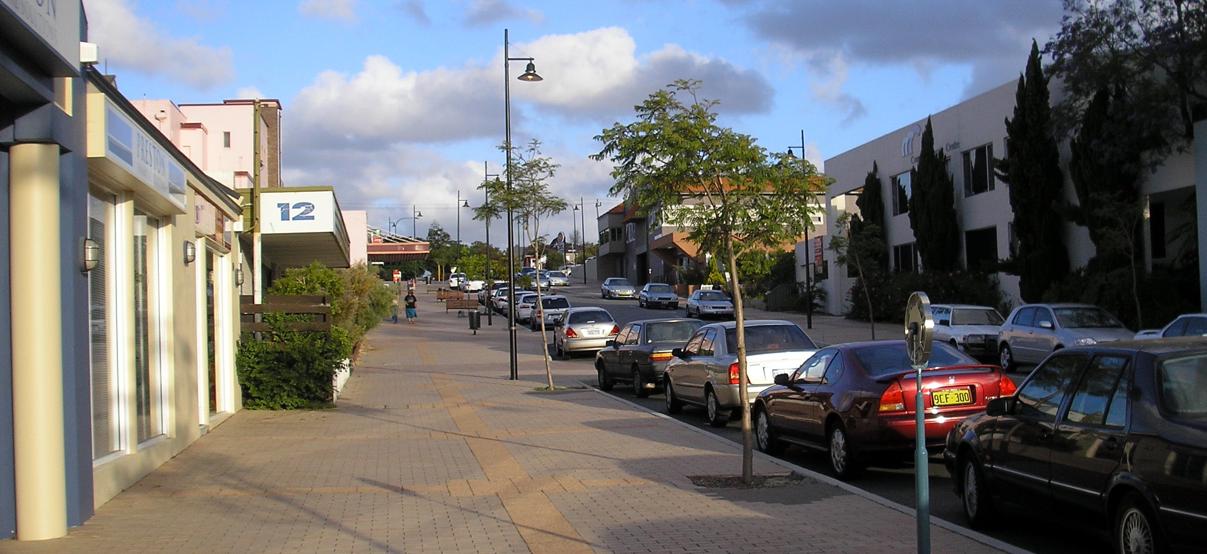
Como is a suburb of Perth, Western Australia. Its Local Government Area is the City of South Perth. The suburb has a population of 12,423.[1] Canning Highway divides the suburb.
History
The suburb of Como was originally made up of three land grants, purchased by Christchurch farmer Edmund Hugh Comer in February 1891. The land was subdivided in 1905 under the name Como Estate, which is thought to be derived from either the owner's surname or the area of the same name in northern Italy.[2]
Facilities
Como is serviced by the Canning Bridge railway station and the Canning Bridge bus station.
There are four schools in the area. These are the Collier and Como Primary Schools, Como Secondary College (previously Como Senior High School), and Penrhos College, a private all-girls school which has a primary school and a high school.
References
- ^ a b Australian Bureau of Statistics (25 October 2007). "Como (State Suburb)". 2006 Census QuickStats. http://www.censusdata.abs.gov.au/ABSNavigation/prenav/LocationSearch?collection=Census&period=2006&areacode=SSC51311&producttype=QuickStats&breadcrumb=PL&action=401. Retrieved 2008-10-05.
- ^ Western Australian Land Information Authority. "History of metropolitan suburb names". http://www.landgate.wa.gov.au/corporate.nsf/web/History+of+metropolitan+suburb+names. Retrieved 2007-05-15.
Suburbs of the City of South Perth | Perth | Western Australia Como · Karawara · Kensington · Manning · Salter Point · South Perth · Waterford
Categories:- Suburbs of Perth, Western Australia
- Perth, Western Australia geography stubs

Wikimedia Foundation. 2010.