- Shire of Carnarvon
Infobox Australian Place | type = lga
name = Shire of Carnarvon
state = wa
imagesize= 180
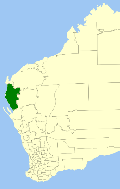
caption = Location inWestern Australia
pop = 5,681 (2006 census)
area = 46663.5
est = 1890s
seat = Carnarvon
mayor =Dudley Maslen
region = Gascoyne
url = http://www.carnarvon.wa.gov.au
stategov = North West
fedgov = Kalgoorlie
near-nw = "Indian Ocean "
near-n = Exmouth
near-ne = Ashburton
near-e = Upper Gascoyne
near-se = Shark Bay
near-s = Shark Bay
near-sw = "Indian Ocean "
near-w = "Indian Ocean "The Shire of Carnarvon is a Local Government Area in the Gascoyne region of
Western Australia , located about convert|900|km|mi|0 north of the state capital, Perth. The Shire covers an area of convert|46664|km2|sqmi|0, and its seat of government is the town of Carnarvon. The major industries in the area are wool, agriculture (especiallybanana s andtomato es) and, more recently, tourism.History
Carnarvon started as three entities - the Carnarvon Municipal District, which governed the town of Carnarvon and was constituted in 1891; the Lower Gascoyne Road Board (1887) and the Minilya Road Board (1893). In 1911, the two Road Boards merged to form the Gascoyne-Minilya Road Board. On 1 July 1961, Carnarvon became a Town and Gascoyne-Minilya a Shire following changes to the Local Government Act. On 1 March 1965, the two entities merged to form the Shire of Carnarvon. [WA Electoral Commission, "Municipality Boundary Amendments Register" (release 2.0), 31 May 2003.]
Wards
The shire is divided into 4 wards, most of which have one councillor. The Shire President is directly elected.
* Town Ward (6 councillors)
* Plantation Ward
* Gascoyne/Minilya North
* Gascoyne/Minilya SouthTowns/Localities
* Carnarvon
* Babbage Island
* Brockman
* Coral Bay
* Kennedy Range
* Lyndon
* Macleod
* WooramelReferences
External links
* [http://www.carnarvon.wa.gov.au/ Shire of Carnarvon]
Wikimedia Foundation. 2010.