- Shire of Wongan-Ballidu
Infobox Australian Place | type = lga
name = Shire of Wongan-Ballidu
state = wa
imagesize= 180
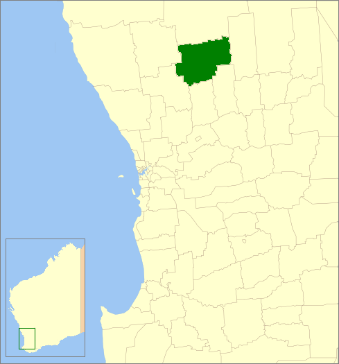
caption = Location inWestern Australia
pop = 1,385 (2006 census)
area = 3368.7
est =
seat = Wongan Hills
mayor = Peter Macnamara
region = Wheatbelt
url = http://www.wongan.wa.gov.au
stategov = Central Wheatbelt
fedgov = O'Connor
near-nw = Moora
near-n = Dalwallinu
near-ne = Koorda
near-w = Moora
near-e = Koorda
near-sw = Victoria Plains
near-s = Goomalling
near-se = DowerinThe Shire of Wongan-Ballidu is a Local Government Area in the Wheatbelt region of
Western Australia , about convert|180|km|mi|0 of Perth, the state capital. The Shire covers an area of convert|3369|km2|sqmi|0 and its seat of government is the town of Wongan Hills.History
In 1887, the Melbourne Road Board was gazetted. It was renamed to Wongan-Ballidu Road Board in 1926. On 1 July 1961, it became the Shire Council following changes to the Local Government Act. [WA Electoral Commission, "Municipality Boundary Amendments Register" (release 2.0), 31 May 2003.]
Wards
As of 2003, there are 10 councillors and no wards. The mayor is directly elected.
Towns/Localities
* Ballidu
* Burakin
* Cadoux
* Kokardine
* Kondut
* Wongan HillsReferences
External links
* [http://www.wongan.wa.gov.au/ Shire of Wongan-Ballidu]
Wikimedia Foundation. 2010.